
Underground Creek
Girraween National Park


Menu
GPS Tracks
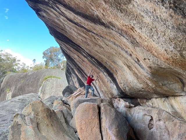

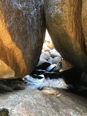


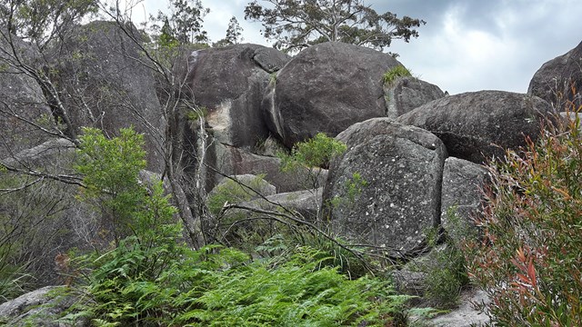

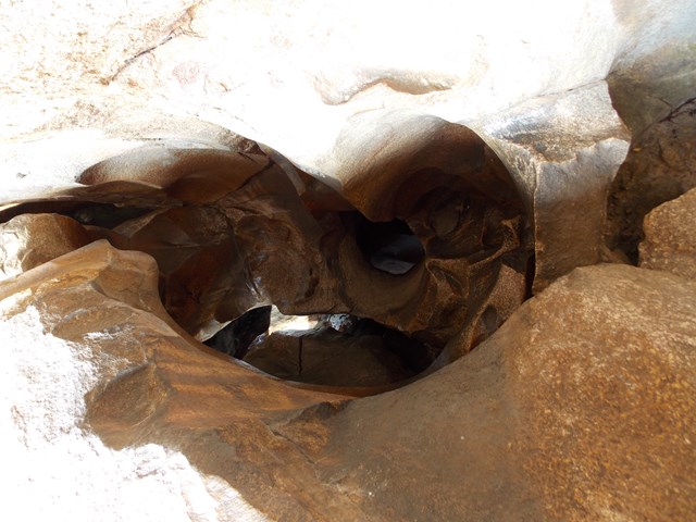
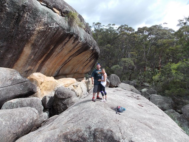
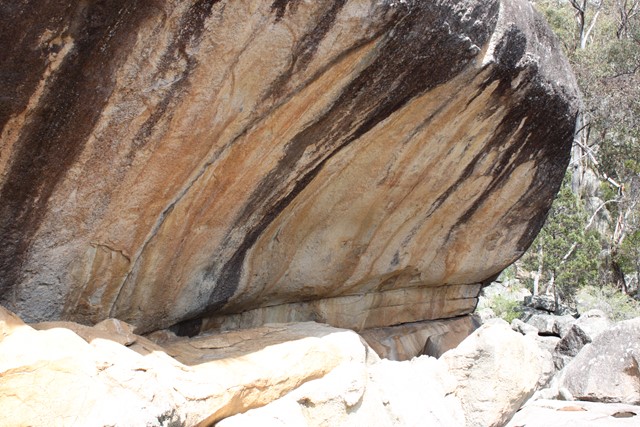
This walk include spectacular wildflowers, varied birdlife and a creek that disappears beneath boulders that have fallen from the cliffs above creating a wave rock. Climb to above the lava flow for views out to the Aztec Temple and Mt Norman and see the rock pools and the creek gurgling down the crevasses.

Getting there:
Girraween NP is situated approximately 260km by road south-west of Brisbane. To reach the park, turn off the New England Highway 26km south of Stanthorpe or 30km north of Tenterfield onto Pyramids Road. The winding bitumen road continues a further 9km east through the Wyberba Valley to the park's Information Centre. Continue along the gravel section of the road for a further 3.5km to the walk's car park.
An alternative road from Stanthorpe to Girraween via Eukey and Storm King Dam has some gravel sections.
Maps:
Route/Trail notes:
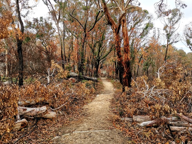
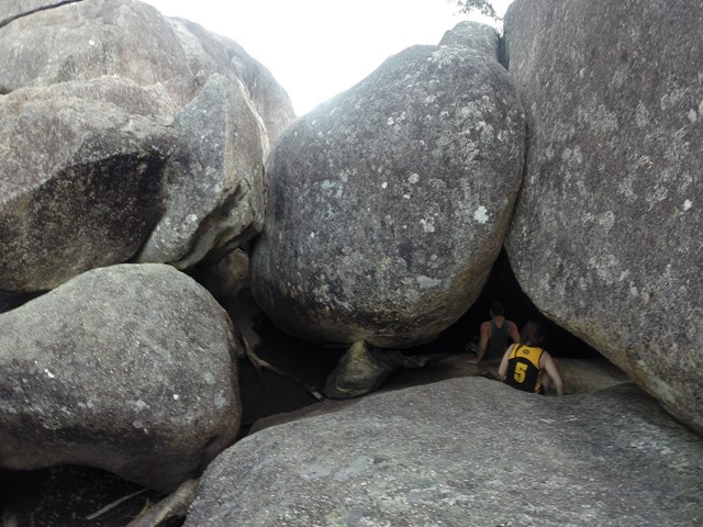
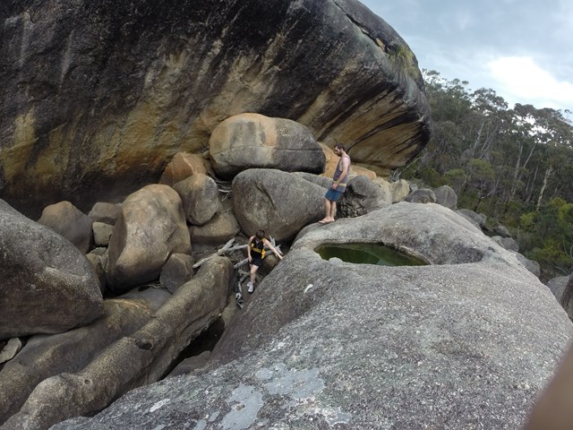
From the car park the track is well signposted and you bare left after 200m to the creek. The track passes through swamp communities, woodland and shrub land. There are numerous rocks to scramble up and a small boulder cave with a waterfall to explore.
This section is not achievable if there has been heavy rain. The track continues across a water covered ledge to the right and around the main rock feature where you climb to the lava flow platform which features the creek’s rock pools.
Return by the same route.
Permits/Costs:
None.
Other References/Comments:
With so many bushwalking options in the park, why not take advantage of the excellent camping facilities at Castle Rock.
Most people will combine this with Dr Roberts Waterhole by branching off left to the waterhole on the way back. This gives a 4.8km round trip walk.
For those with time on their hands, they may like to carry on beyond the lava flow platform and complete the Aztec Temple which adds a further 2km to your walk.
 156 Underground Creek (GPX)
 3.8
3.8 105
105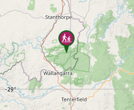
Comments