
Menu
Popular Walks
-
Somerset Trail
(300 ticks) -
Greenes Falls via Rainforest Circuit + Cypress Grove Circuit
(232 ticks) -
Morelia Track
(137 ticks) -
Thylogale Track
(129 ticks) -
Piper Comanche Wreck
(113 ticks)
Summary
Situated in South East Queensland, west of Caboolture.
Popular Walks
-
Somerset Trail
(300 ticks) -
Greenes Falls via Rainforest Circuit + Cypress Grove Circuit
(232 ticks) -
Morelia Track
(137 ticks) -
Thylogale Track
(129 ticks) -
Piper Comanche Wreck
(113 ticks)
Walks in D'Aguilar National Park

 21
km
21
km
 2
days
2
days
Aquila Loop
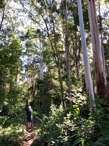
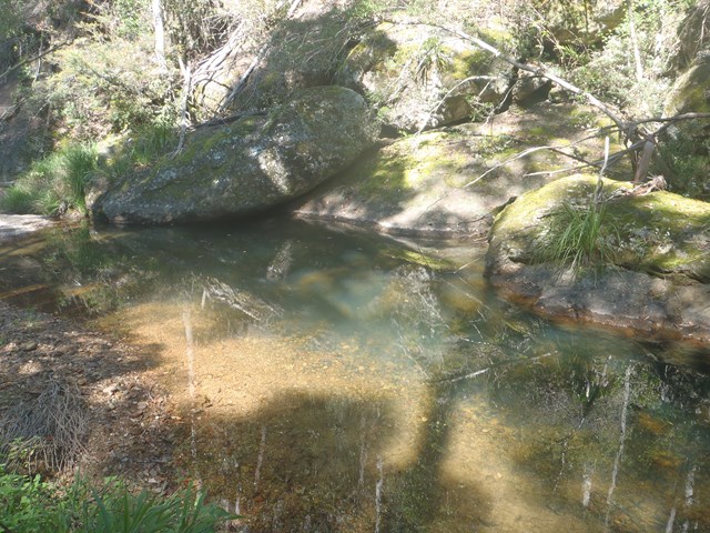
Remote bush camping in the remote middle section of the park, alongside picturesque England Creek at the England Creek bush camp. There are several waterholes along England Creek Road, 10 minutes south of the campsite. Look out for native daisies along the road edge flowering spring to summer. Pink rock orchids and tongue orchids can be seen growing on rock cuttings on Joyners Ridge Road in spring.
This trail can also be done as a day hike (6-10 hours).
 800
m
1
hr
800
m
1
hr
Atrax Circuit
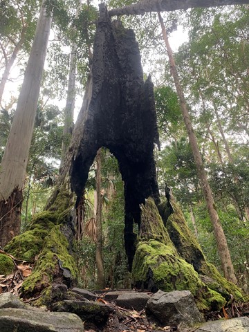
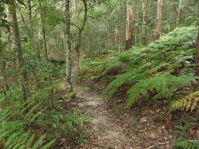
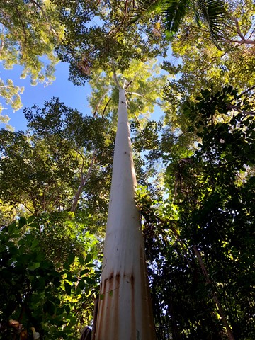
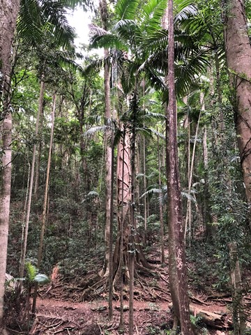
Take a short walk through a wet eucalypt forest. Look closely at the forest floor and notice the ferns, mosses and fungi that thrive in the moist environment. Glimpse inside the trunk of a brush box Lophostemon confertus, a former giant of this species-rich ecosystem.
 1
km
one-way
15
mins
1
km
one-way
15
mins
Bellbird Grove Access Trail
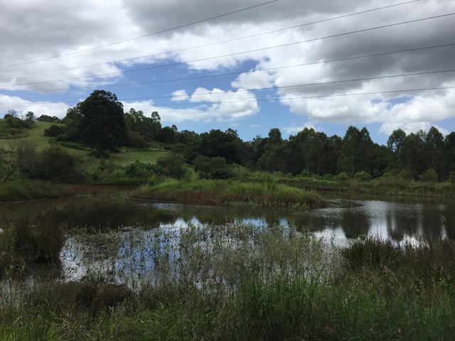
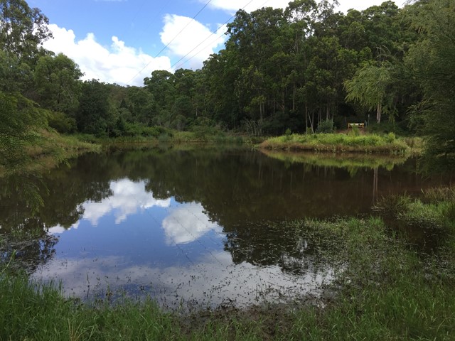
Trail leads from Ross Road, Upper Kedron into D'Aguilar National Park's Bellbird Grove Picnic Area following Cedar Creek and passing a pond.
Blue Gum Flat bush camp
As the name suggests, magnificent blue gums tower over this bush camp, a short walk from the scenic shores of Lake Manchester.
1.1
km
return
30
mins
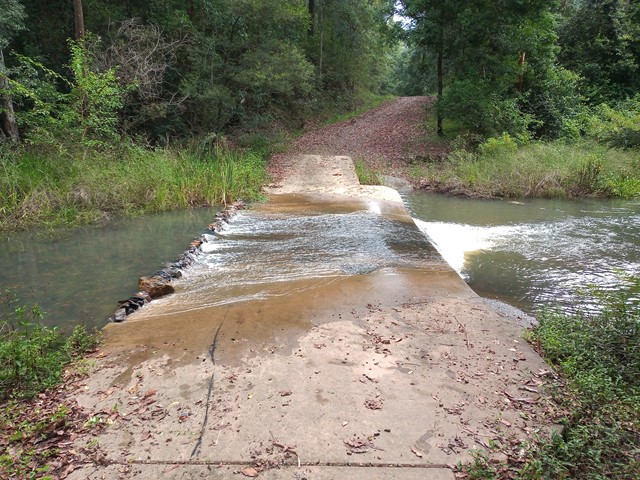
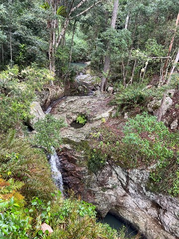
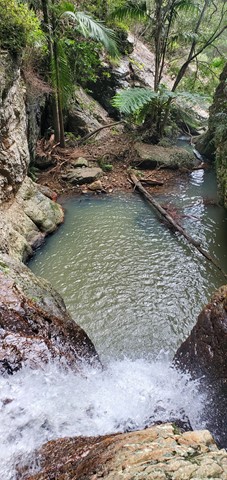
Bulls Falls
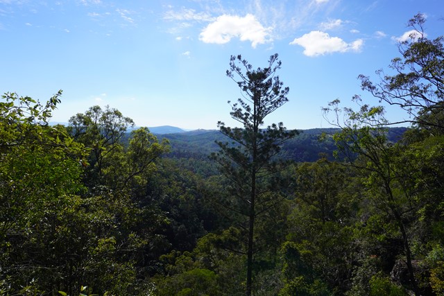
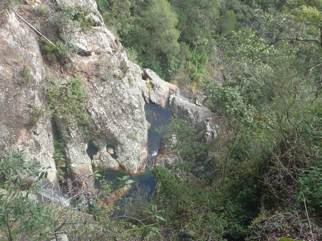
Part of the Mt Mee section of the park this is an easy walk which from the viewing platform includes the beauty of the Neurum Valley with its sheltered rainforest pools and rocky crags. The pathway then continues on down to the falls themselves.
 17
km
return
5
hrs
17
km
return
5
hrs
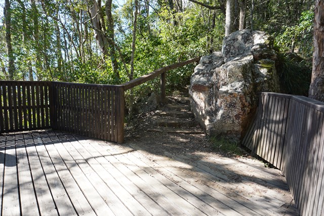
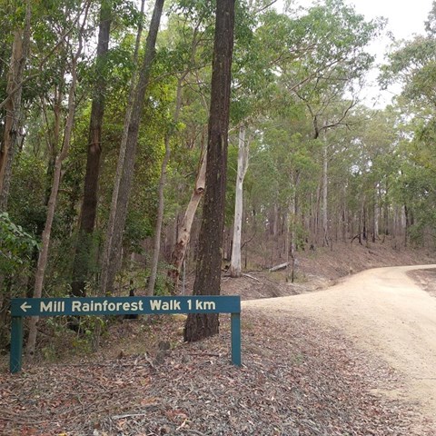
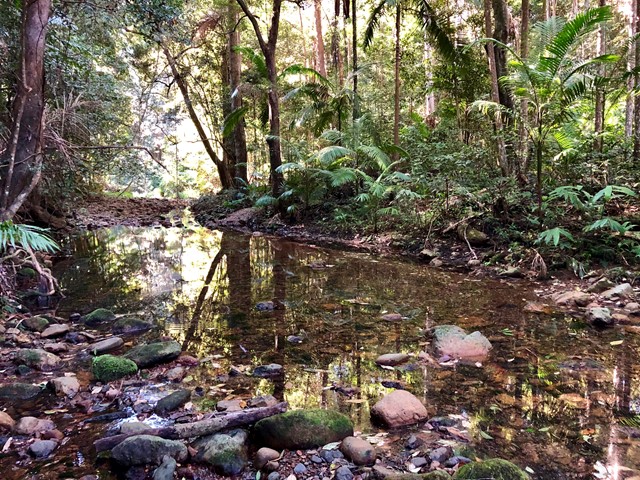
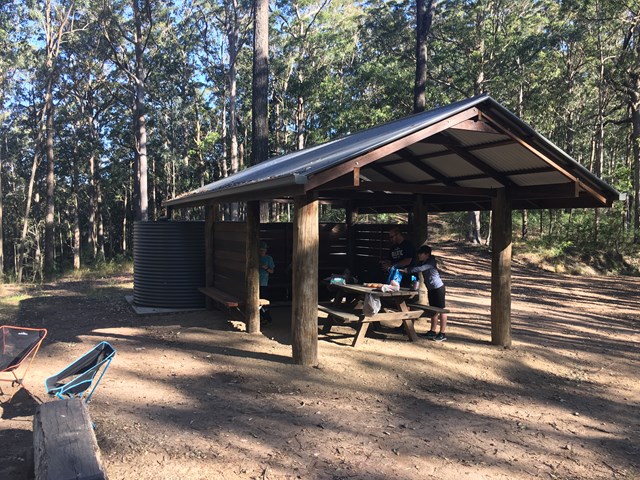
Bulls Falls and Mill Rainforest Walk Circuit
Starting from Gantry Day Use Area, the walk follows Neurum Creek Road to the Falls Lookout. Walk to the car park (200m) and out on the track (1.1 km return) to the escarpment lookout and the lookout over the falls. Return to Neurum Creek Road and continue to the left then turn right to Mill Rainforest Walk. Follow the road to the car park and then follow the Mil Rainforest Circuit (1 km), including the boardwalk around the base of a large fig tree.
Return to Neurum Creek Road and continue on over Neurum Creek and then ascend to a hairpin bend sign. Turn left onto a trail used by grail bikes and ascend steeply to Lovedays Road. Turn left and after about 100m turn left onto the Somerset Trail. Follow the Somerset Trail back to the Gantry Day Use Area.
 15.25
km
return
5.5
hrs
15.25
km
return
5.5
hrs
Byron Creek Circuit
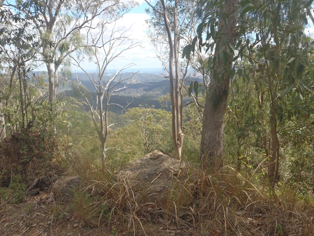
Walk in undulating country with some steep hills to Byron Creek with its crystal clear waters, waterholes as well as mountain top views from the ridges.
Cabbage Tree Creek bush camp
This open grassy bush camp is named after the nearby Cabbage Tree Creek, a tributary of Lake Manchester. It provides an excellent starting point to explore the creeks and peaks of this section of the park.
400
m
18
mins
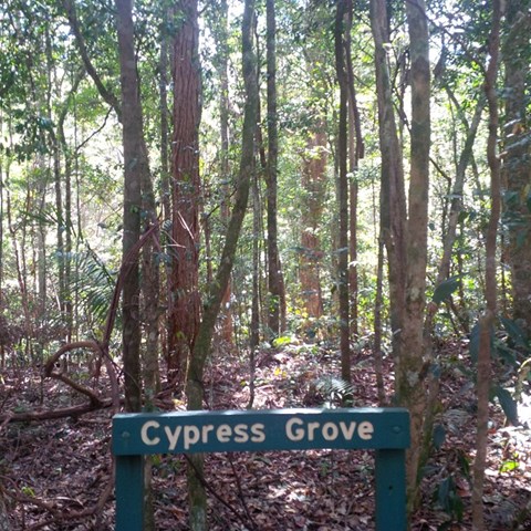
Cypress Grove
A small isolated cypress grove. An easy walk for most fitness levels.
 3
km
1
hr
3
km
1
hr
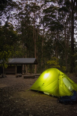
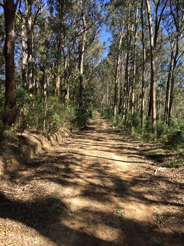
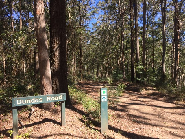
Dundas Road bush camp walk
Dundas Road bush camp.Remote bush camping in open eucalypt forest. Enjoy picturesque wet eucalypt forest on your walk to the campsite. This campsite is the most accessible remote campsite in the park and suits overnight campers with some walking experience and fitness.
This is a great place to base yourself to go exploring other areas.