
Middle Kobble bush camp walk
D'Aguilar National Park


Menu
GPS Tracks
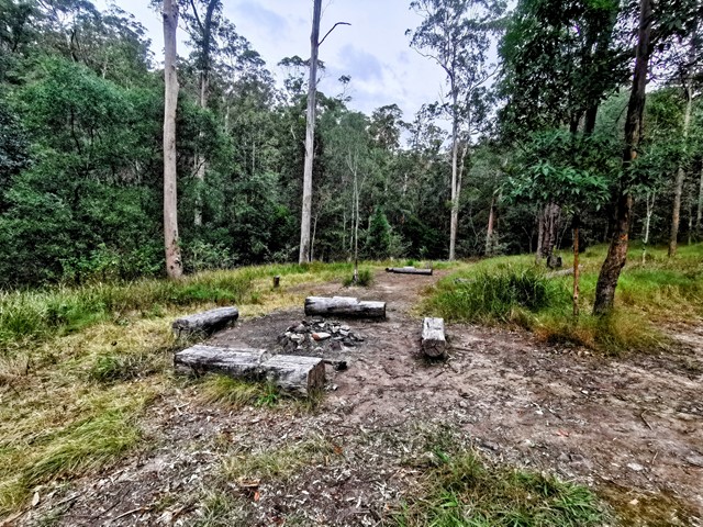
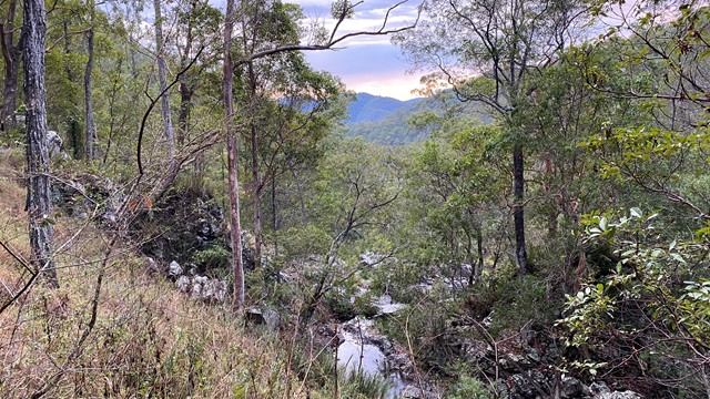
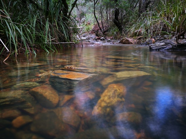

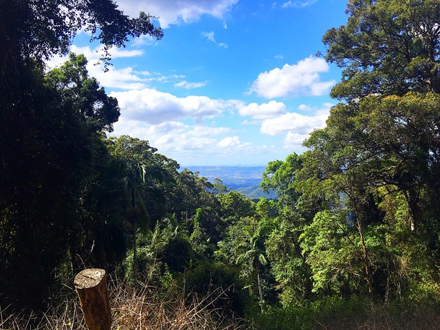
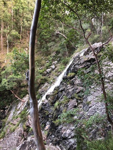
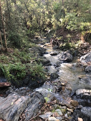
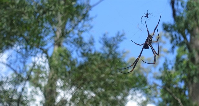
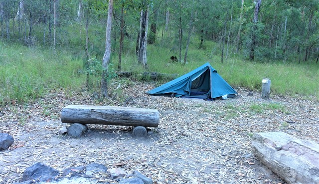
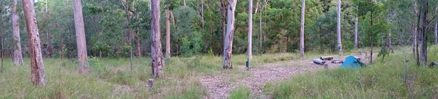

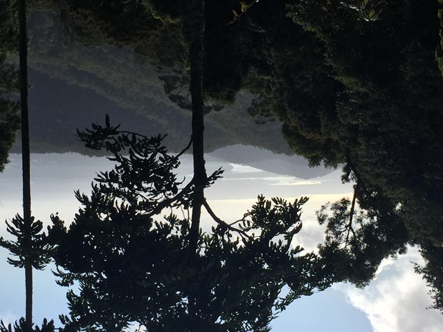
Remote bush camping in an open grassy area next to Kobble Creek, in the remote northern section of the park. A short walk takes you to the top of the Kobble Creek waterfall. Keep an eye out for the prehistoric-looking Lepidozamia (cycads) on your walk to the bush camp. Skinks and keelbacks (freshwater snakes) can be seen basking on the rocks at the top of Kobble Creek waterfall. Bottlebrush plants flower along the creek beside the bush camp in spring.

Getting there
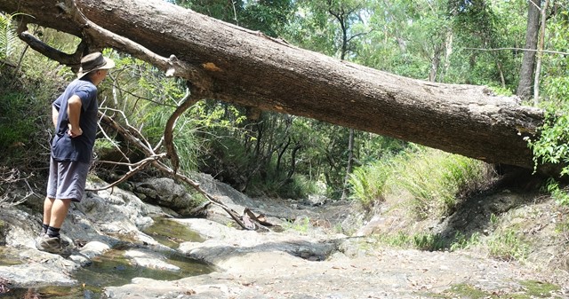
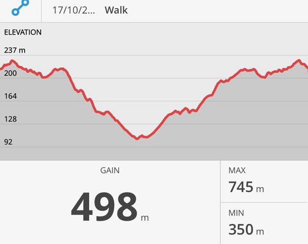
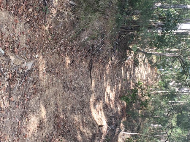
From Mount Glorious Road, the campsite is accessed by walking 4.7km along the
Lepidozamia track and Middle Kobble fire break. The Lepidozamia track entrance is an
hour drive from Walkabout Creek in The Gap. Allow 3-4 hours for the predominantly
uphill walk out, ascending 350m in elevation with steep sections. An alternative route
returns via North Kobble Creek fire break back onto the Lepidozamia track.
Maps
Available from Walkabout Creek information centre
Route/Trail notes
An easy trail to follow. Some of the turn offs can be hidden.
Permits/Costs
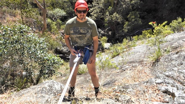
Bush camping permit required.
Other References
 Walk in from Lepidozamia Track (GPX)
 10
10 4
4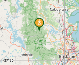
Comments