
Breadknife and Grand High Tops Circuit
Warrumbungle National Park


Menu
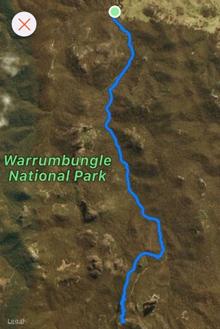
GPS Tracks
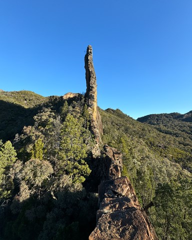
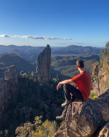
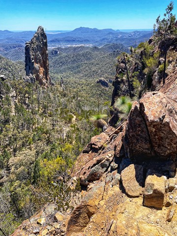
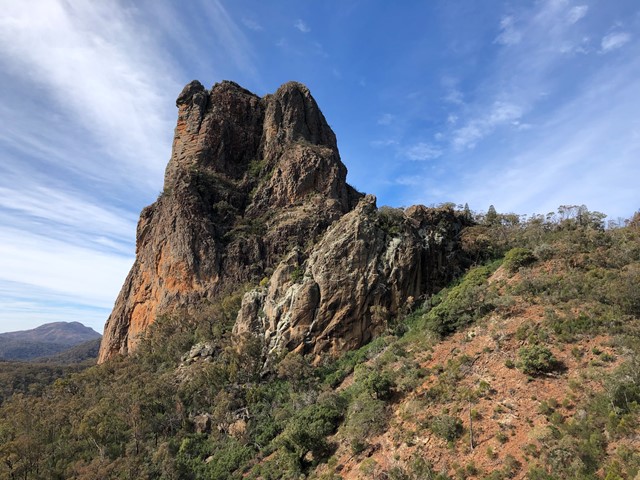
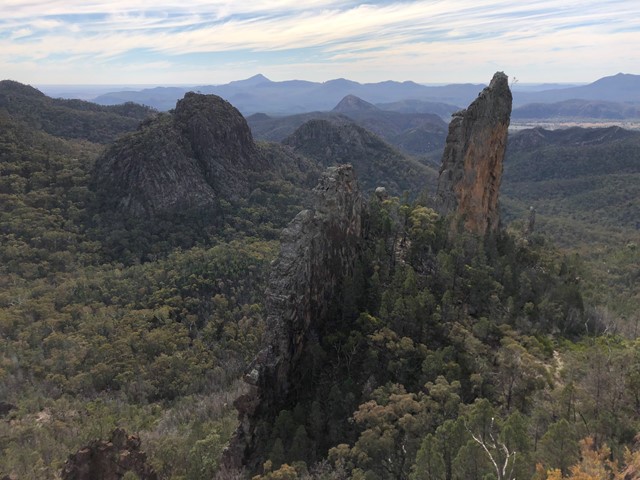
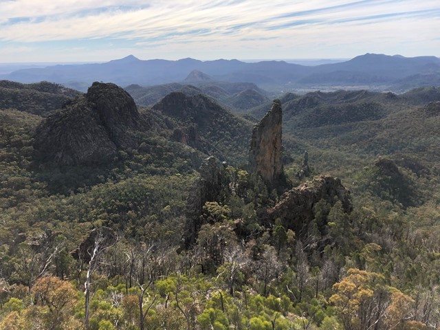

Breadknife and Grand High Tops Circuit in Warrumbungle National Park is regarded as one of the best walks in New South Wales, offering close up views of the park’s iconic rock formations.

Getting there:
From Coonabarabran travel along Timor Road that becomes John Renshaw Parkway once you enter the National Park. Continue along John Renshaw Parkway and just past the Visitor Centre turn left down Pincham Road to the car park.
From Tooraweenah, follow John Renshaw Parkway for approximately 35km and just before the Visitor Centre turn right down Pincham Road to the car park.
Maps:
Warrumbungle National Park Map
Route/Trail notes:
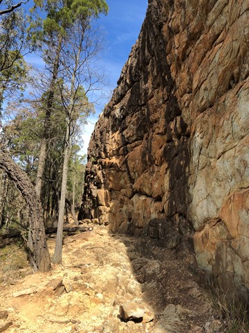
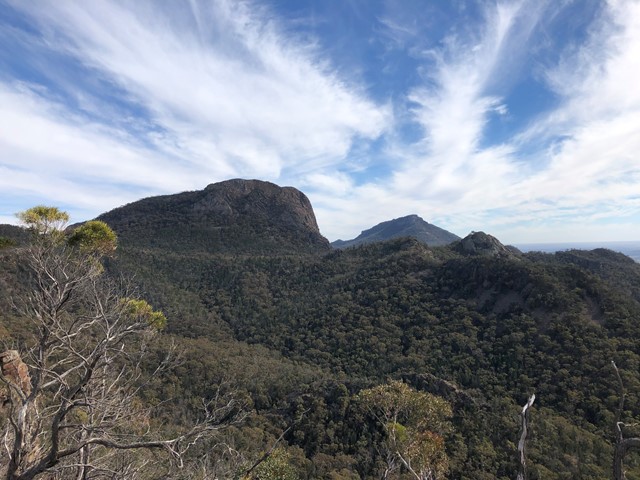
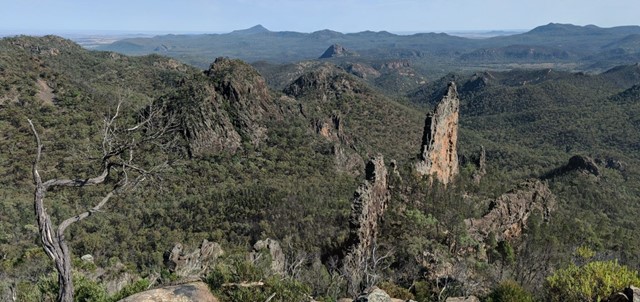
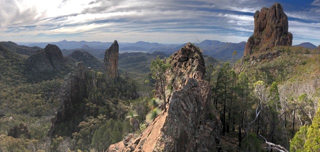
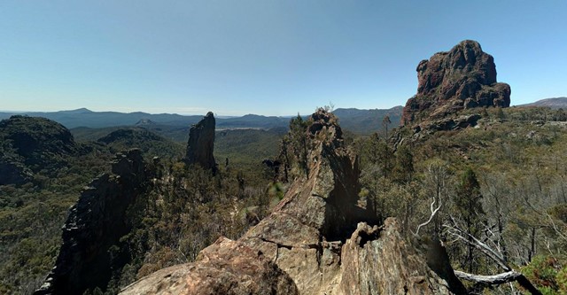
Start from either the car park or campsite. The track follows Spirey Creek to Spirey View before climbing steeply to give close encounters with iconic formations such as Belougery Spire, Bress Peak and Crater Bluff.
Balor Hut Campground at the start of Dagda Shortcut has toilet facilities. After the breathtaking Grand High Tops Summit, continue on towards Western High Tops and Ogma Gap campground, you’ll pass Dows Camp on the way for a look at the impressive Bluff Mountain. To complete the 13km loop, follow West Spirey track back to Pincham car park.
Alternatively, you can take a shorter 12.5km return to Pincham car park via Dagda Shortcut.
Permits/Costs:
National Park entry fee applies (2023 = $8 per vehicle/day). Park entry fees and camping permits can only be purchased online from National Parks NSW. The campgrounds are along John Renshaw Parkway or Pincham Camp, where you carry your gear in from the car park.
 417 Breadknife and Grand High Tops Circuit (GPX)
 13
13 6
6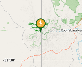
Comments