
Boggy Creek Trail
Nightcap National Park


Menu
GPS Tracks
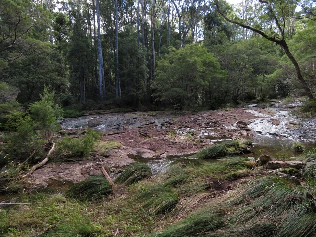
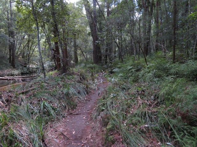
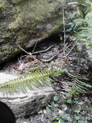

An easy walk along the side of Boggy Creek. A few tree roots and narrow path at times, with plenty of opportunities to cool your feet in the waters as it cascades over the boulders. Some rather large Land Mullet can be seen along the way.

Getting there:
From Mullumbimby, take the Coolamon Scenic Drive south then turn right into Repentance Creek Road and right again into Minyon Falls Road.
From the south, turn off the Lismore Bangalow Road into Eureka Road onto Federal Road before turning left onto Repentance Creek Road and right again into Minyon Falls Road.
The last two kilometres are gravel road. Minyon Falls is well signposted.
Maps:
Route/Trail notes:
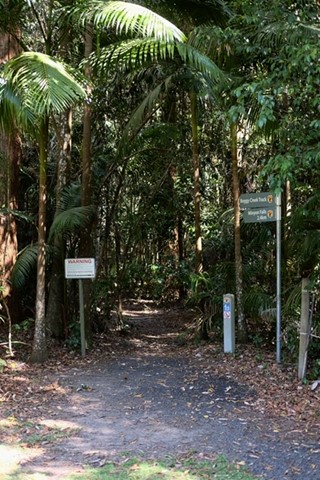
From Minyon Falls car park, leave by the right hand track as if you were doing the Minyon Falls Loop anticlockwise. Where that walk turns left over the creek's stepping stones, carry straight on following the course of the creek.
After 600mt, the track crosses the gravel road and continues along the creek side to Rummery Park Camp Ground.
Return by the same route or walk back down the road. You can of course drive to Rummery Park and do the walk in reverse!
Permits/Costs:
There is no camping permitted except at Rummery Park, where you need to pre-book and pay online:
Other References/Comments:
Boggy Creek is within the Whian Whian State Conservation Area, which forms part of the Nightcap National Park.
This can be a very busy area on weekends and holidays, so parking can be a problem. Parking, toilets, BBQs and picnic areas are located at both ends of the walk.
 Boggy Creek Trail (KML)
 4.8
4.8 90
90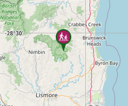
Comments