
Menu

 4.9
km
return
4.9
km
return
 2.5
hrs
2.5
hrs
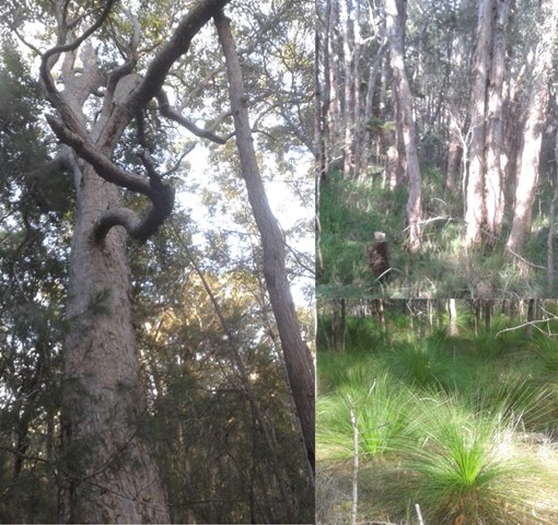
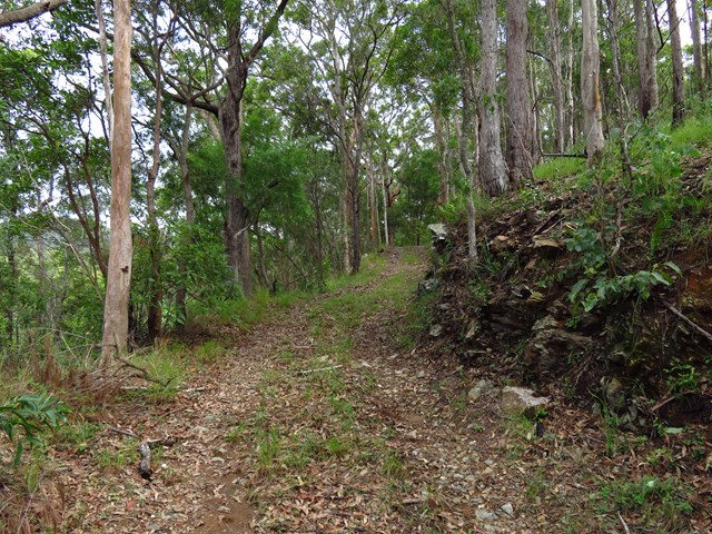
Knightsbridge Circuit (via Fred Caterson Reserve)
Tall trees, ferny gullies and wildflowers. This walk follows a route through the significant bushland corridor in Fred Caterson and Fullers Road Reserves between Castle Hill and Glenhaven. The area is rich in diverse local flora and birdlife.
 5
km
return
1
hr
5
km
return
1
hr
Lake Ross Walk
There is a Gravel track directly next to Lake Ross where you can walk along as far as you like.
Good view over Lake Ross and the Mountains in the Background.

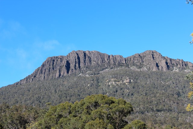
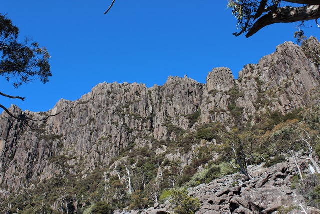
Drys Bluff
Dry's Bluff is a mountain in the Great Western Tiers Range in Tasmania. The walk to its summit is listed in The Abels as one of the hardest day walks in Tasmania with an elevation gain of over 1000m from the base of the plateau.[2] Access to the start of the walk is through Bob Brown's residence Oura Oura which has the sign Trespassers Welcome on the gate.
 14
km
one-way
5
hrs
14
km
one-way
5
hrs
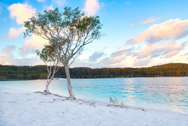
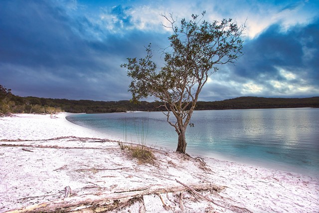
Lake Mckenzie to Kingfisher Bay
A walk from Lake McKenzie on well formed sand track through melaleuca scrub-lands
 14
km
one-way
5
hrs
14
km
one-way
5
hrs
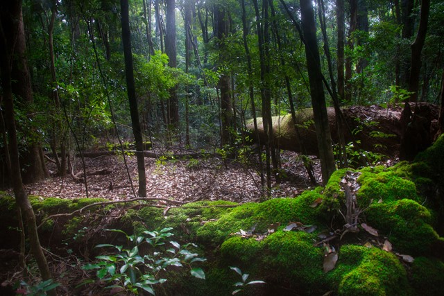
Central Station to Lake Mckenzie via Pile Valley
A walk from Central Station to Lake McKenzie via the rain forest at Pile Valley
 400
m
return
10
mins
400
m
return
10
mins
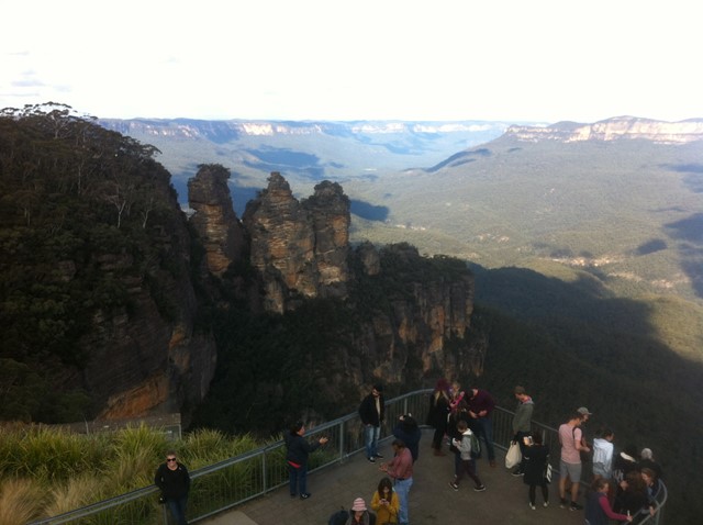
Echo Point Lookout
A short walk through Echo Park to Echo Point Lookout (Queen Elizabeth Lookout) on Echo Point. Iconic view of the Three Sisters.
 1.4
km
return
1
hr
1.4
km
return
1
hr
Bridal Veil View Lookout
A short walk to Bridal Veil View Lookout and back. Most of the walk is along a section of the Prince Henry Cliff Walk.
 1.7
km
return
1
hr
1.7
km
return
1
hr
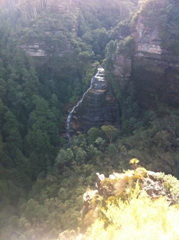
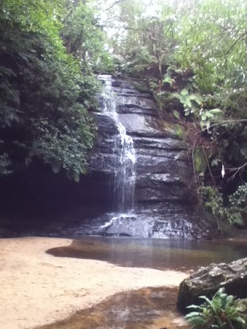
Lyrebird Dell Walking Track
A loop walk from Gordon Falls picnic area down to Gordon Creek to the Pool of Siloam then Lyrebird Dell and returning to Gordon Falls picnic area. Incorporates parts of the Pool of Siloam walking track.
 400
m
return
15
mins
400
m
return
15
mins
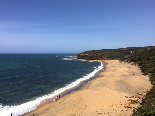
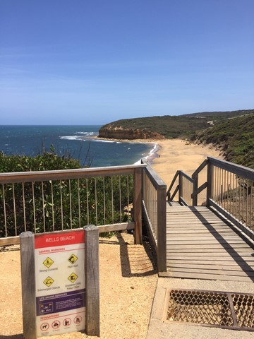
Bells Beach Lookout
A short walk from the Bells Beach car park to Bells Beach Lookout and to a lookout over Winkipop.
 4
km
one-way
1
mins
4
km
one-way
1
mins
Florabella Pass
Easy walk, nice a quiet. Temperature drops when you get to the creek.
1.3
km
return
1
hr
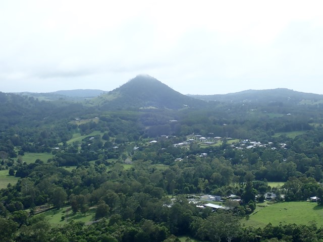
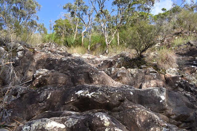
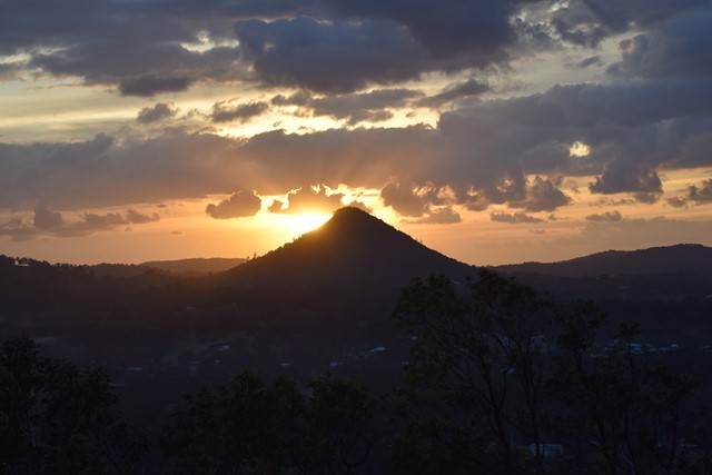
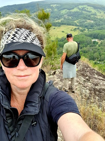
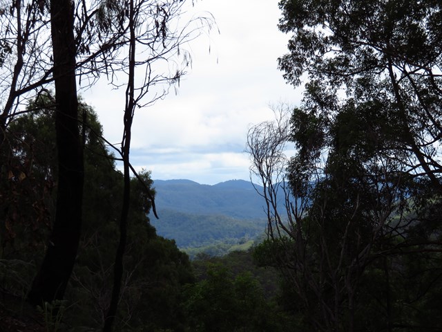
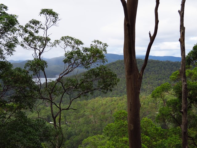
Mt Cooran
A lesser known peak, just north of Mt Cooroora, Mt Cooran hosts exceptional 360° views; Sunshine Coast, Blackall Range, Gympie and Woondum National Park to the north and east to the coast.
 11
km
return
3
hrs
11
km
return
3
hrs
Sergeant Dan Stiller Memorial Reserve
This reserve runs along Oxley Creek. The series of freshwater lakes in Dan Stiller Reserve are the result of sand mining which has now ceased. This memorial park is named after Sergeant Dan Stiller who was killed by a car accident on duty. The southern section of the reserve is well known for its diverse range of bird species in the area. Note after heavy rain some sections may be closed due to flooding.
 800
m
return
30
mins
800
m
return
30
mins
Tree Discovery Trail
A short walk through eucalyptus forest with information boards along the way talking about how the eucalyptus forest works. There are quite a few steps, but the walk isn't too strenuous
 7.68
km
return
2
hrs
7.68
km
return
2
hrs
Lower Beechmont Conservation Area (Eastern Section)
The trails in this area are used by horse riders, mountain bikers, bushwalkers and nature lovers. This is a rugged, natural environment and you need to be well prepared and self reliant when in the reserve. Some of the trails link with those in Nerang Conservation Park.
 4
km
return
2
hrs
4
km
return
2
hrs
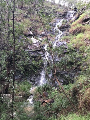
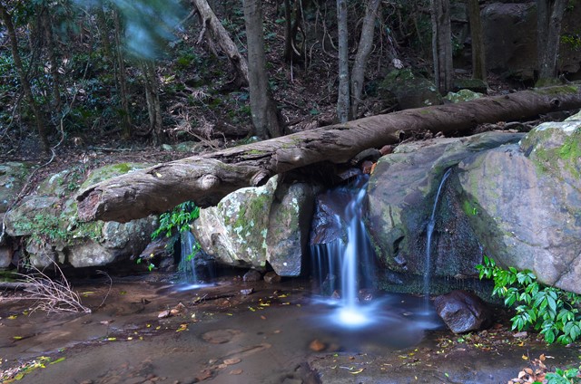
Cascade Track
Short listed walk on a made track to a waterfall. Steep on unmade trail afterwards to more waterfalls.
 6.4
km
return
3
hrs
6.4
km
return
3
hrs
Mount Tyson
Based in Tully Gorge National Park. This is a steep hike to the top. Watch out for bladed or needled plants. Great view of Tully and the surrounding sugarcane fields. You can see the ocean from the top.
 37
km
return
3
days
37
km
return
3
days
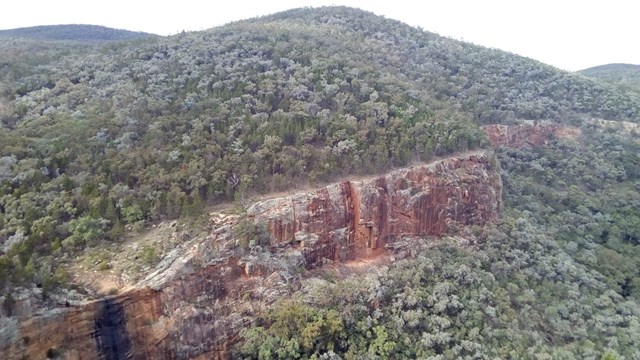
Ooline Creek - Blue Gorge Circuit
35km Minimum walk through Sundown National Park. Details to be updated
8
km
return
3
hrs
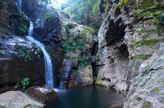
Ooline Creek
A pleasant walk up a creek bed. Rock pools, waterfalls- most probably dry,
 8
km
return
3
hrs
8
km
return
3
hrs
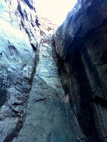
Macallister Creek
Another walk up a dried out creek bed- depending on season and rainfall. We finished when we reached a very narrow gorge that ended in a vertical waterfall drop with no way up. We did try to follow a faint footpad up and around to continue, but time was against us. This is part of a 2-3 day walk, but we only did this first bit. It was extremely interesting, with lots of rock pools and gorges.
 16
km
return
4
hrs
16
km
return
4
hrs
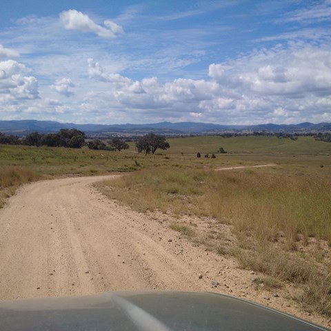
Red Rock Gorge
This is the entrance to Sundown NP via Sundown Rd. This IS a 4WD track . Gravel road to access entrance of park would recommend SUV or 4WD only .
If SUV leave you car at gate and follow the track. Signs along the way and about 8km one way from gate,