
Menu

 3.5
km
return
3.5
km
return
 45
mins
45
mins
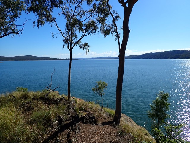
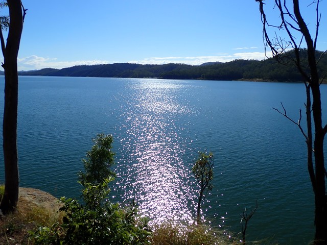
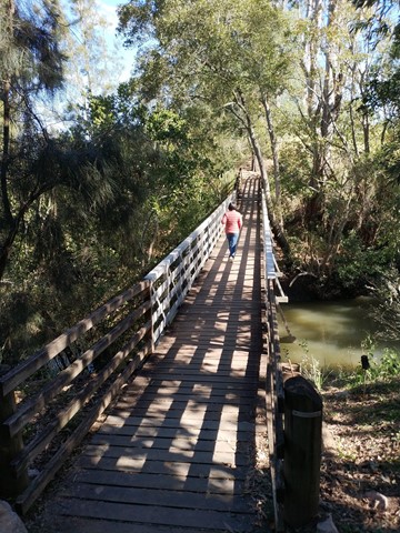
Cormorant Bay Loop (Wivenhoe Dam)
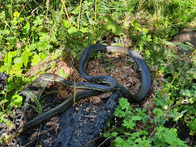
A 3.5km circuit commencing at a locked gate in the carpark area of Cormorant Bay, Wivenhoe Dam, just south of the dam wall. Drive past the old cafe and around the one-way road watching for the gate on your left. The lower track meanders along the lake, but not on the shore line, with views across the water, then a slight incline leads to a ridge which in turn leads back to the gate. The area is alive with birdlife. Some vegetation is still recovering from a bushfire. There are a couple of sections of pebbles which could be slippery. This is an easy walk suitable for all. Takes about 45 minutes.
 2.4
km
return
1
hr
2.4
km
return
1
hr
Tarcoola Track
A short walk through bushland and open space with views of the Brisbane River.
 12
km
return
4
hrs
12
km
return
4
hrs
Daves Creek Circuit
Starting near the Teahouse at the top car park at Binna Burra, the Dave's Creek Circuit track starts some two kilometres along the Border track and then branches off and follows the Ships Stern circuit track before branching off again. Well sign posted, good tracks and some good views from the Numinbah lookout. There is also a small cave side track that is sign posted - Molongolee Cave - detour right at the sign. On the way back don't miss "Surprise Rock".
There are no steep ascents or descents, a reasonably gentle, undulating track.
 200
m
return
10
mins
200
m
return
10
mins
Mount Keira Lookout
A short stroll to summit views with options for longer outings.
2.2
km
return
40
mins
Cape Banks Walk
A short walk in Kamay Botany Bay National Park to Cape Banks at the head of Botany Bay.
1
km
return
30
mins
Barrengarry Creek Falls
A nice little walk to a cute waterfall and swimming hole.
200
m
return
15
mins
Portal Lookout
A nice trig and view over the Nepean River and onto Penrith & Western Sydney.
5.1
km
return
3
hrs
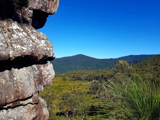
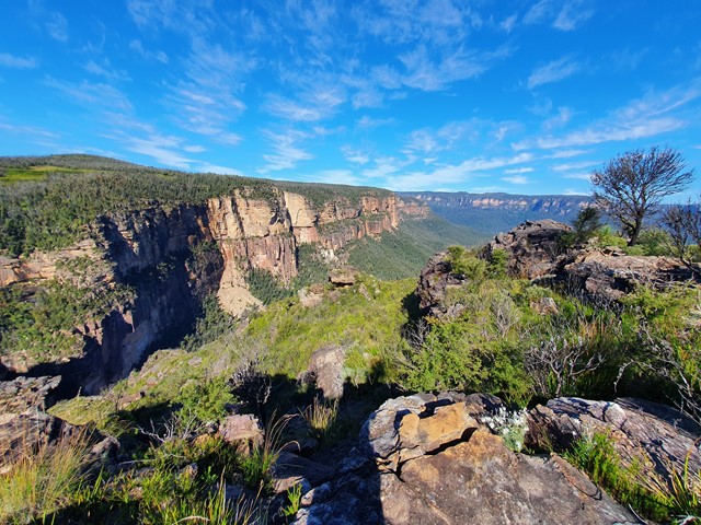
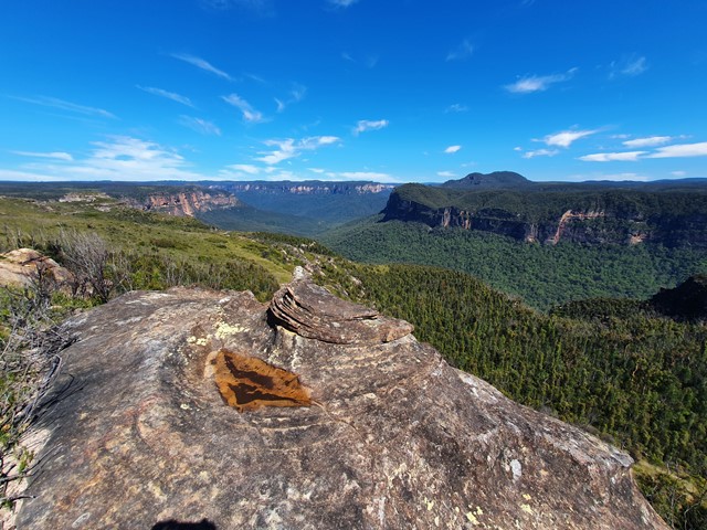
Mt Hay + Butterbox Point
A moderate hike in a lesser known part of the Blue Mountains with fantastic views the whole way.
 2.4
km
one-way
1
hr
2.4
km
one-way
1
hr
Lane Cove Weir to Fiddens Wharf Oval via the Great North Walk
A short one way walk from the main Lane Cove visitor information centre at the weir / Jenkins Kitchens to Fiddens Wharf Oval via the Great North Walk. If wanting to return via a different track a return via the riverside track would make for a nice loop walk.
3.2
km
one-way
2
mins
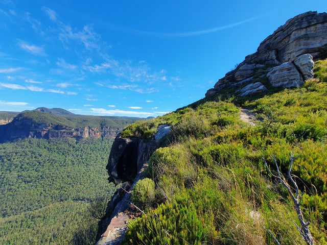
Cliff Top Track Govetts Leap to Evans Lookout
A walk along the clifftops between two iconic Blue Mountains lookouts.
 5.65
km
one-way
3
hrs
5.65
km
one-way
3
hrs
Sublime Point to Gladstone Pass via Copeland & Lindeman Pass
A route linking three historic passes. Using Copeland & Gladstone as your route down or up and between the two via Lindeman.
8.5
km
one-way
4
hrs
Lindeman Pass from Leura to Sublime Point
A walk underneath the cliffs through rainforest and past waterfalls. Note this is one way through the national park section if you are road walking to link the two ends or doing a few additional sidetrips the kms will stack up.
800
m
return
20
mins
Mount Blackheath Lookouts & Hang Glider Launch Points
A walk to Mount Blackheath's lookouts and hang glider launch points. Unfortunately, the old very photogenic hang glider launch point is no longer around.
1.4
km
return
45
mins
Mount York Lookouts & Historic Coxs Rd Loop
A walk through the summit lookouts of Mount York and around a short loop on the historic Coxs Road.
4
km
return
2.5
hrs
Victoria Falls & Silver Cascades
A short but steep walk to an impressive waterfall and cascade.