
Mt Hay + Butterbox Point
Blue Mountains National Park


Menu
A moderate hike in a lesser known part of the Blue Mountains with fantastic views the whole way.

Getting there
The carpark is at the very end of Mt Hay Road which starts in Leura. It is a rough dirt road that is probably only suitable for high clearance vehicles - although if you don't really care much about your 2wd car you could probably thrash it and still make it.
Maps
Route/Trail notes
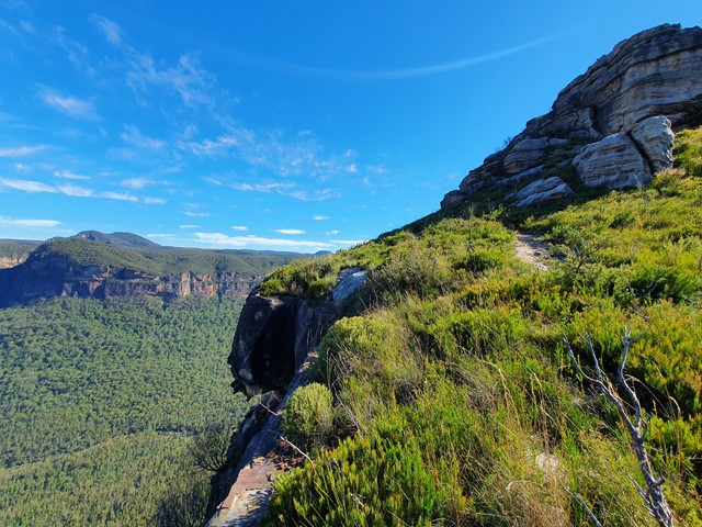
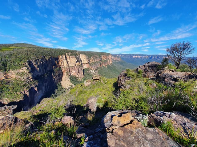
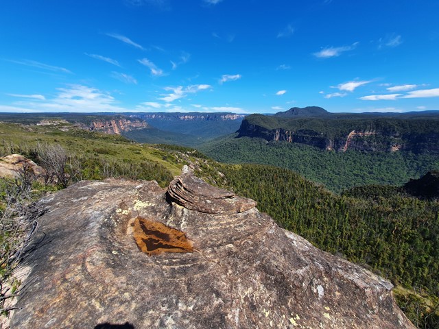
Arriving at the carpark you will see a billboard with information about the 2 hikes - butterbox canyon and Mt Hay (you can hike to Butterbox then cut back to Mt Hay without having to walk all the way back to the carpark). The walk to Butterbox Canyon is well marked and has great views the whole way. It is mostly flat and would be suitable for just about anyone. Mt Hay is a bit steeper, and a bit less clear. As you get higher the track does tend to get a bit faint, however if you are relativelty experienced shouldn't be too difficult. The summit has no view, it's pretty much the only part of the walk in which you are deprived of a view, but the rest of the walk makes up for it!
Permits/Costs
No cost.
GPS Tracks
- No GPS available for this walk yet.
 5.1
5.1 3
3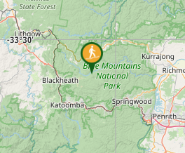
Comments