
Menu

 200
m
return
200
m
return
 15
mins
15
mins
Mount Piddington Lookout
A very short walk to the top of Mount Piddington with options of extended walks along its flanks.
 6.1
km
return
2
hrs
6.1
km
return
2
hrs
Southern Lost City to Northern Lost City loop using Miners Pass Link Track
A loop through the impressive pagodas of the lost city within the Gardens of Stone Conservation Area.
2.1
km
return
1
hr
Newnes Plateaus Cliffs
A short walk along a rutted 4wd track to a nice clifftop viewpoint within the Gardens of Stone National Park.
3
km
return
1
hr
Glow Worm Tunnel from Glow Worm Tunnel Carpark
A nice little walk following an old train line to the abandoned railway tunnel now known as the glow worm tunnel. Avoid using light in the tunnel instead hold onto the handrail as you move through. Once out the other side you return the way you came or loop via Tunnel Creek or continue on via the longer loop using the Pagoda Track.
1.1
km
return
30
mins
Rigby Hill Walking Track
A short walk to a small knoll with impressive views over the Grose Valley.
2.7
km
return
90
mins
Mount Banks Summit Loop
A walk up the ridge past the Caley Monument to a small loop which takes you up to the summit of Mount Banks.
12.2
km
return
4
hrs
Mt Banks Summit & Walls Loop
A nice half day circuit featuring Mt Banks and a scenic hike along the edge of the Grose Valley.
 1.1
km
return
1
hr
1.1
km
return
1
hr
Mount Wilson Waterfall Reserve
A short loop through the Mount Wilson Waterfall Reserve where you will pass both the lower & upper falls on waterfall creek.
1
km
return
20
mins
Cathedral of Ferns Giant Tree
From the Cathedral of Ferns campsite head North across Mt Irvine Road and follow the short loop through rainforest before returning.
800
m
return
30
mins
Dooragan Rainforest Loop & Summit Lookouts
A short rainforest loop track at the top of Dooragan (North Brother) which can be paired with the immediate summit lookouts. Additionally, you can head a short way to the true summit and trig.
5.7
km
one-way
80
mins
Bullocky’s Dam to Scrub Road Bush Camp
The long way to Scrub Road Remote Bush Camp. Follows South Boundary Road the whole way. Some ups but overall mostly downhill but not too hectic.
15
km
4.5
hrs
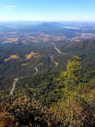
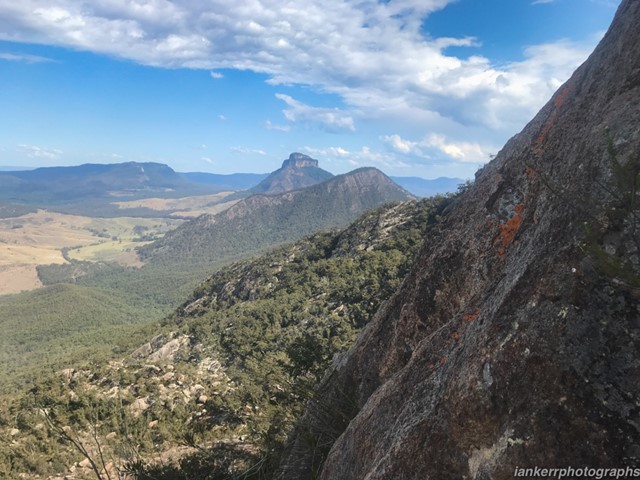
Mt Mitchell
Mt Mitchell, one of two peaks on either side of Cunningham's Gap, is a good track walk which provides great views of Main Range, the Moogerah Peaks and through to Mt Barney. There is a wide variety of biome types along the track, including luxuriant rainforest, eucalyptus forest, and montane heath, as well as impressive natural rock formations, making this an incredibly scenic walk. Now starting at West Gap Picnic area which adds 5km to the trip, making it 5 to 5.5 hours as per the new sign at West Gap
 4.7
km
return
2
hrs
4.7
km
return
2
hrs
Diamond Head Circuit
Amazing sea cliffs & heathland where White bellied sea-ealges can be seen. Can be done from one of the three surrounding camping areas.
1.6
km
one-way
45
mins
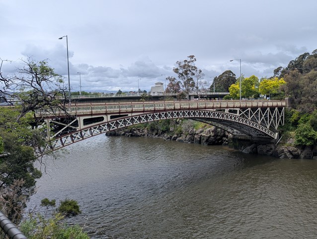
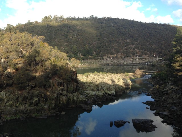
Cataract Gorge
Linking Kings Bridge to the beautiful Victorian gardens of the environmentally and historically significant Cataract Gorge Cliff Grounds, this Walk runs along the cliff face providing superb
views of the dolerite columns and South Esk River.
 14.57
km
return
7
hrs
14.57
km
return
7
hrs
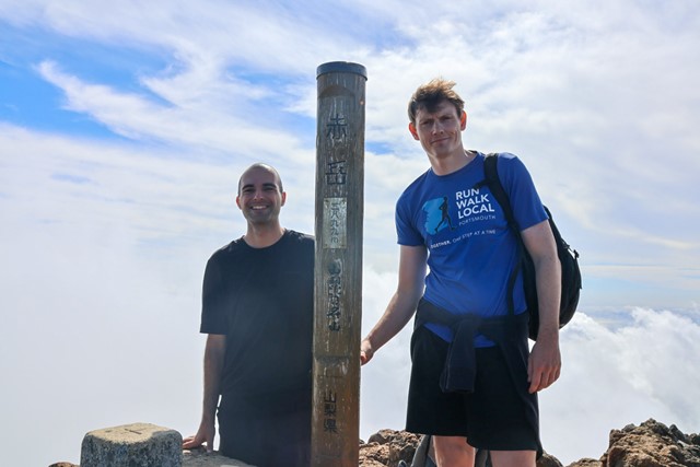
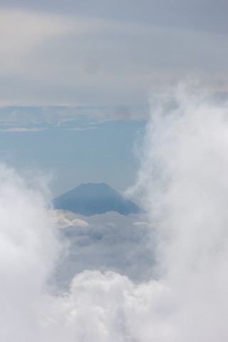
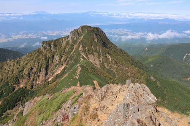
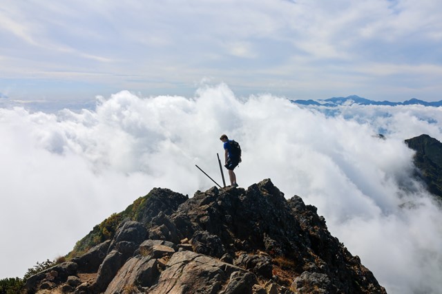
Mt. Aka 赤岳 (Nagano Prefecture)
Mt. Aka is a popular day trip that has fantastic views over the surrounding alps and on a good day, even Mt. Fuji. There are plenty of options to extend the hike with many great surrounding peaks and abundant mountain huts and camp grounds.
 6.5
km
2
hrs
6.5
km
2
hrs
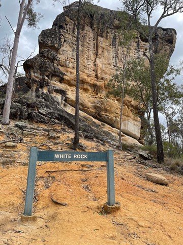
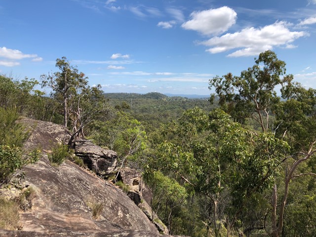
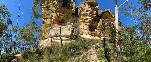
White Rock Ridge Hike
A pleasant walk with a short bit of scrambling up to the impressive White Rock. A sacred site for local indigenous people, the custodians of the site request that you do not climb White Rock.
 10
km
4
hrs
10
km
4
hrs
Middle Kobble bush camp walk
Remote bush camping in an open grassy area next to Kobble Creek, in the remote northern section of the park. A short walk takes you to the top of the Kobble Creek waterfall. Keep an eye out for the prehistoric-looking Lepidozamia (cycads) on your walk to the bush camp. Skinks and keelbacks (freshwater snakes) can be seen basking on the rocks at the top of Kobble Creek waterfall. Bottlebrush plants flower along the creek beside the bush camp in spring.
 15.4
km
one-way
6
hrs
15.4
km
one-way
6
hrs
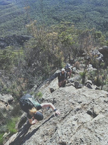
Mt Barney - East Peak - Up Logan's - Down South
The original route taken by Captain Patrick Logan & Allan Cunningham. AC actually gave up leaving Logan to climb on alone. It's the steepest, sharpest most direct route up to East Peak short of needing ropes, harnesses and belays etc. The views are spectacular. Rock scrambling experience, sound navigational skills and a good head for heights are an absolute must for this walk. NEVER climb it alone. There have been dozens of rescues off this ridge, don't be next. Extensive signage recently installed at Yellow Pinch do not mention Logan's Ridge, for good reason.
Weetootla Campground Trailhead
There are three locations in the Vulkathunha-Gammon Ranges National Park where you can access walks in the Weetootla Hike Network.
Weetootla Campground Trailhead – 7.1km from Balcanoona. Turn off the Arkaroola Road at 1.9km from the signpost at Balcanoona. The track is 2WD accessible.
McTaggart Track – 18.2km from Balcanoona. Turn off the Arkaroola Road at 8.2km from the signpost at Balcanoona. Continue approximately 10km along the 4WD track to reach the checkpoint.
Grindell’s Hut Trailhead – 26.5km from Balcanoona. Turn off the Arkaroola Road at 8.2km from the signpost at Balcanoona. Continue for 17km along the signposted 4WD track.