
Menu

 2.1
km
return
2.1
km
return
 1
hr
1
hr
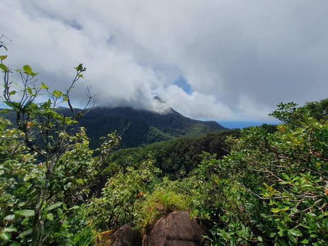
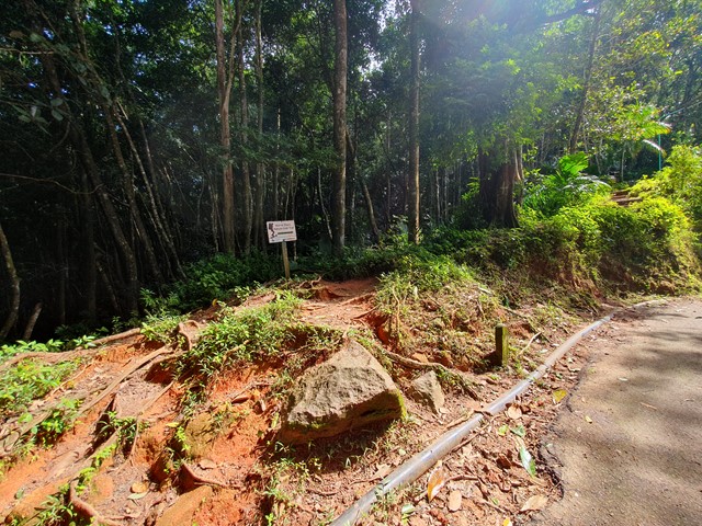
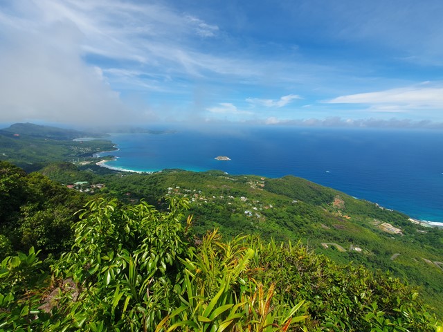
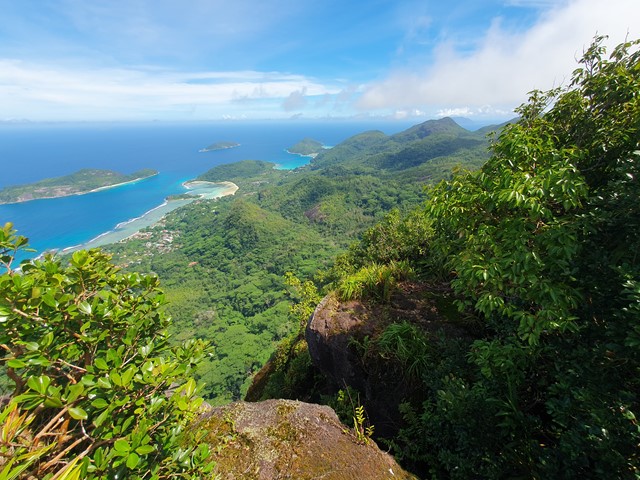
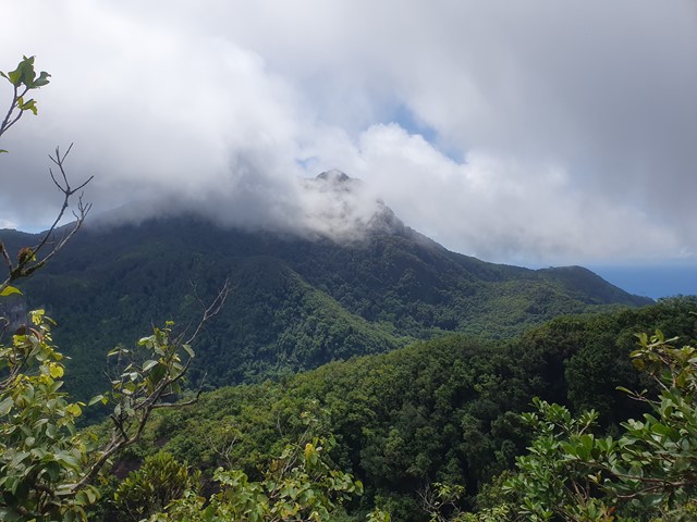
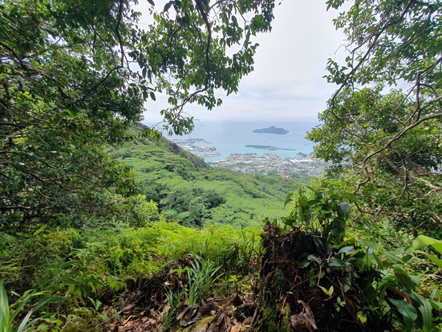
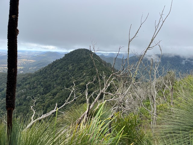
Morne Blanc
A short but steep walk up one of the smaller yet better known mountains on the island of Mahé - Seychelles.
 3.9
km
return
5
hrs
3.9
km
return
5
hrs
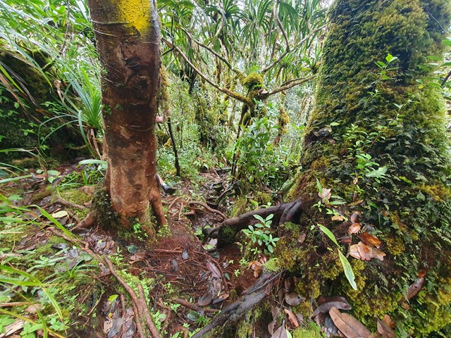
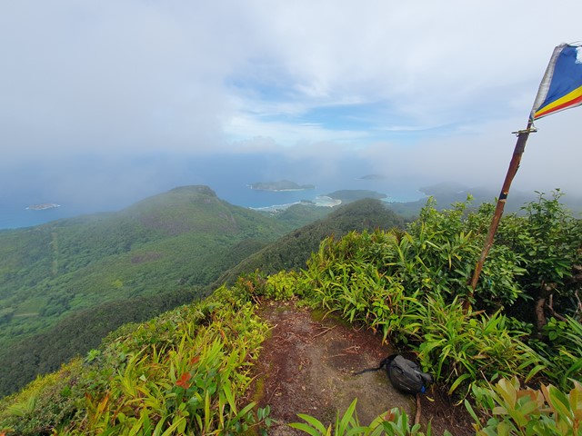
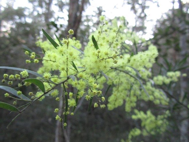
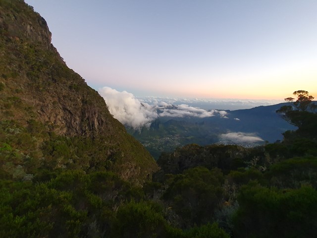
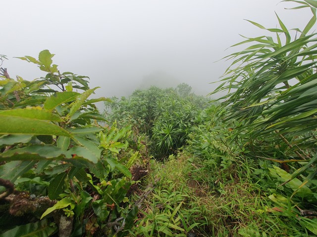
Morne Seychellois
A steep hike through thick rainforest to the summit of the highest mountain in the Seychelles.
 2
km
return
30
mins
2
km
return
30
mins
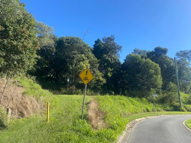
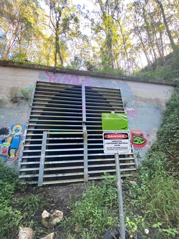
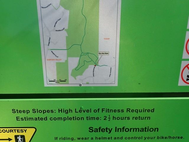
Yugar Rail Trail
This track is part of the disused rail line which went from Ferny Grove to Dayboro. Ends at Yugar rail tunnel. Memorial stone with info on top of tunnel.
 6
km
2
hrs
6
km
2
hrs
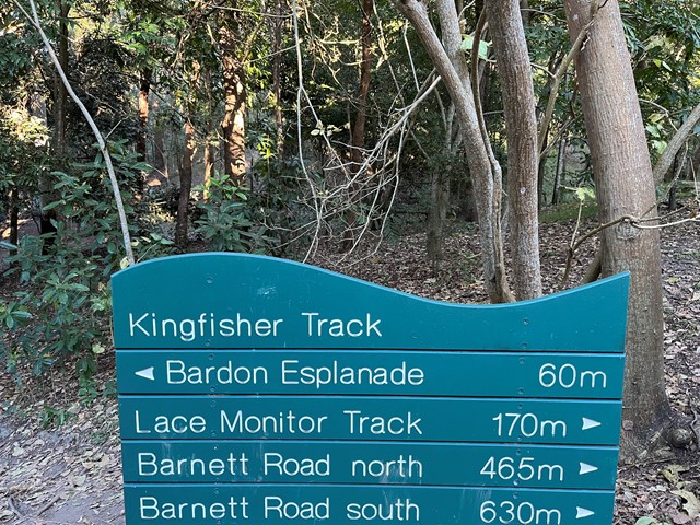
Bardon Bushland
Several short trails which link together through parts of Bardon/Ashgrove/The Gap. Entrances to the trails are the Bardon Esplanade (across the creek and bridge) north and south Barnett Rd and Trinder Rd The Gap. There is a goat track just off the Barnett Rd trails (before you reach the dead-end of the track at private property) which connects to the Quarry Trail - You need to walk along a steep ridge to get to it - and this will connect you to the rest of the Mt Coot-tha trails.
 2
km
return
90
mins
2
km
return
90
mins
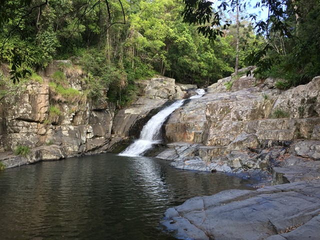
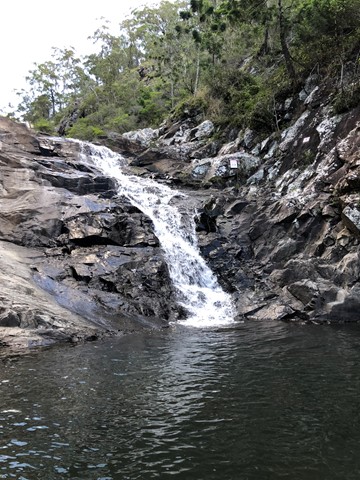
Cedar Creek Falls
Not to be confused with Cedar Creek at Mount Tambourine, this spot is located approximately 20 minutes from the village of Samford on Brisbane’s north side.
To access Cedar Creek, begin at Samford and drive north along Mount Samson Road, then turn left into Cedar Creek Road.
This is a great place to take a dip and cool off in summer or soak up the sun on a large rock in winter. Kids will also be kept busy with exploring the local surrounds.
There are no established bushwalking paths in the area, so best to stay near the creek.
 3
km
return
45
mins
3
km
return
45
mins
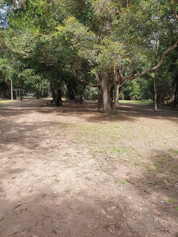
Bunya Crossing Reserve
There are several easy short dog-friendly walks in the area (about 2kms in total). There is a lovely shaded picnic area and a swimming hole with rope swing. It is not so much a picturesque walk but a good place to take the family for a relaxing picnic and to take your dog for a stroll and swim. Gates close at sunset.
 1
km
return
30
mins
1
km
return
30
mins
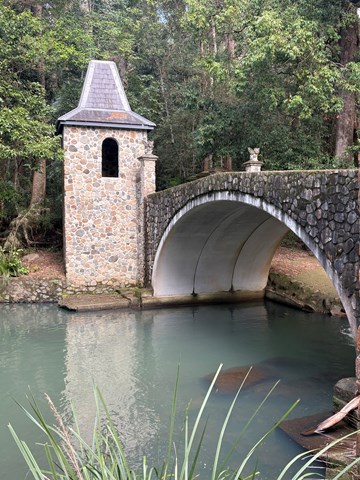
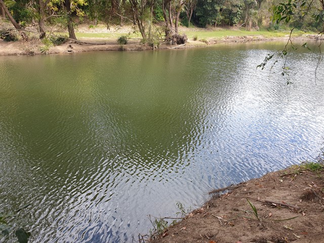
Kumbartcho Sanctuary
Kumbartcho is a Flora and Fauna Sanctuary incorporating walking tracks around, lake, gardens, bridges, forests and a public park, BBQ and playground
 900
m
return
30
mins
900
m
return
30
mins
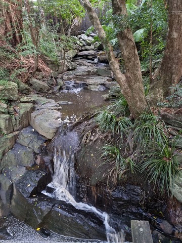
Crebra Circuit
A circuit for walkers only, can be joined behind the Ironbark Gully picnic area. Two bridges to traverse the mostly dry creek. Drinking water and toilets available at the picnic ground.
 5
km
return
2
hrs
5
km
return
2
hrs
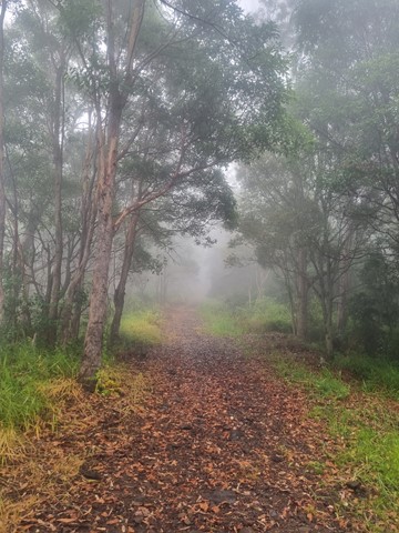
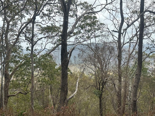
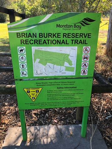
Brian Burke Reserve / House Mountain
Moderate climb on well defined vehicle track. Some good views over Samford Valley toward Mt Nebo. Traverses up ridge line enjoying any breeze that's going, also making it a reasonable summer walk/climb, if there's a decent breeze. Very accessible from Brisbane.
 6.8
km
return
3
hrs
6.8
km
return
3
hrs
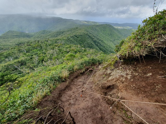
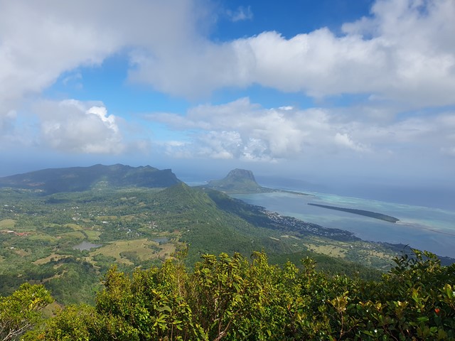
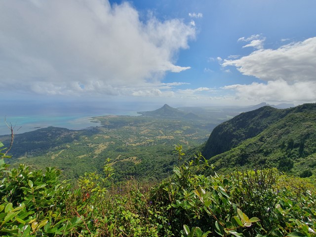
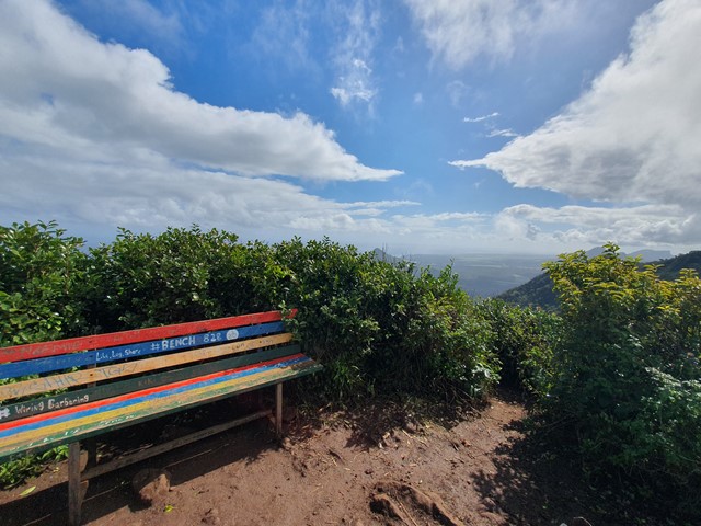
Piton de la Petite Rivière Noire
A relatively short walk and scramble up to the highest mountain in Mauritius where you will find a bench of reflection and 360 degree views.
 4.2
km
return
80
mins
4.2
km
return
80
mins
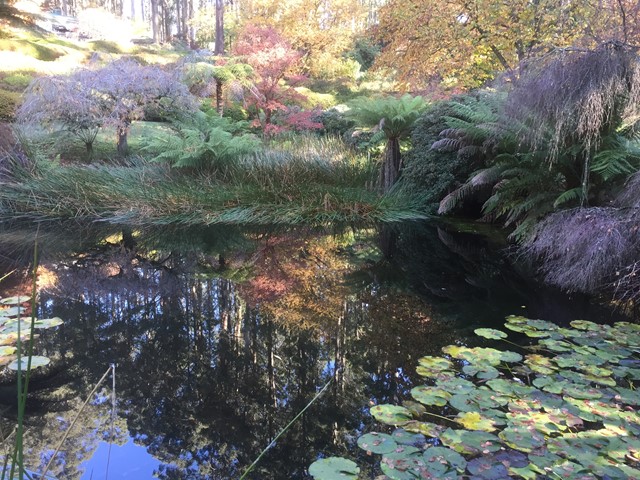
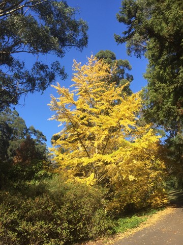
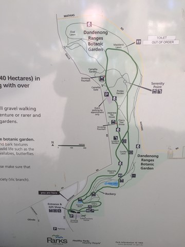
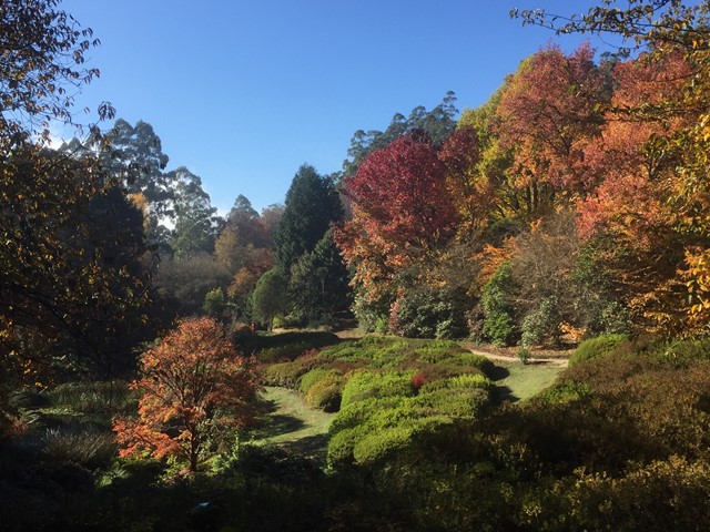
Dandenong Botanic Garden Walk
A circuit walk through the Botanic Garden with a variety of forested areas.
 14.3
km
return
10
hrs
14.3
km
return
10
hrs
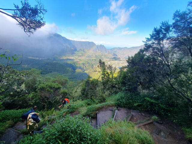
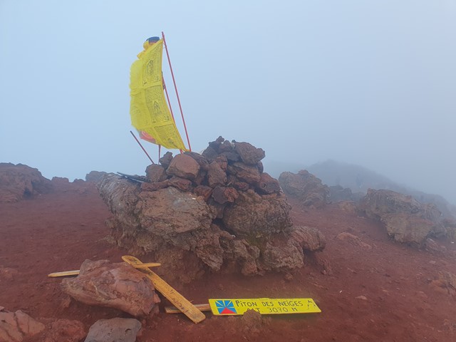
Piton des Neiges
A long steep hike up to the roof of the Indian Ocean - the summit of Piton des Neiges on Reunion Island near Madagascar. At just over 10,000ft this volcano towers over the tiny island.
 7
km
return
2
hrs
7
km
return
2
hrs
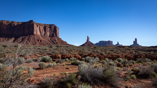
Wildcat Trail
7km loop from the carpark around the West Mitten of Monument Valley
Ohh Ahh Point
Great views as you walk down into the canyon. First major stop on the longer Kaibab trail.
 7.7
km
return
6
hrs
7.7
km
return
6
hrs
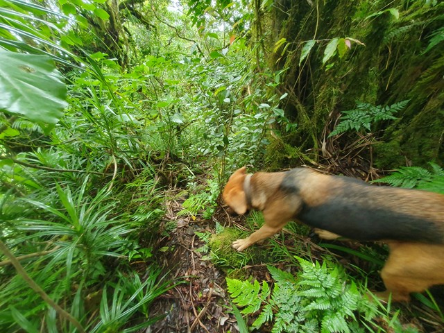
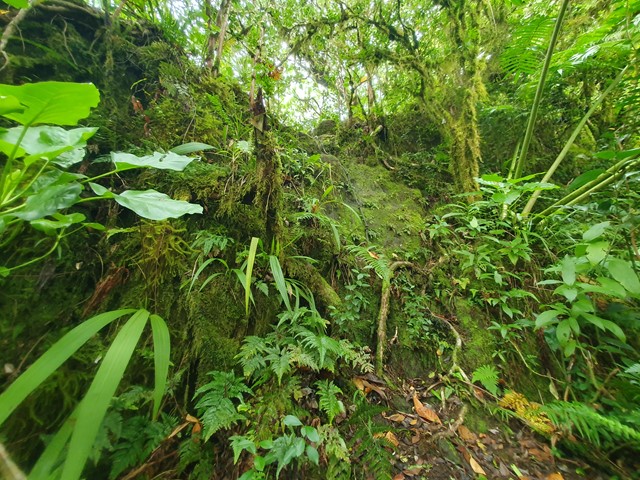
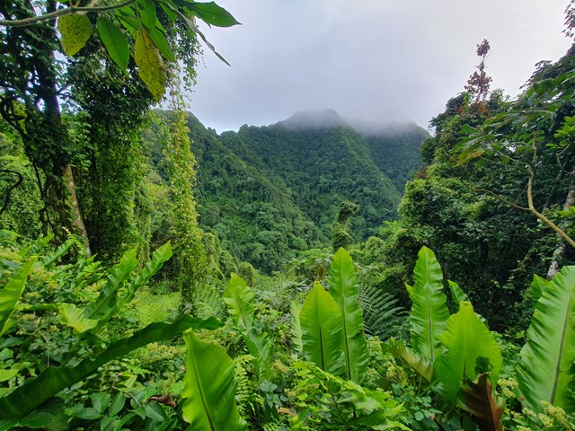
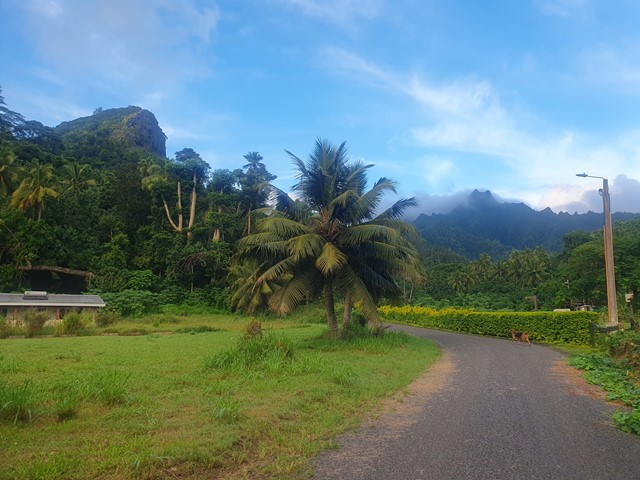
Te Manga
A difficult walk/scramble/climb up the highest mountain in the Cook Islands. With its tropical weather, and thick steep ridgelines this mountain is for the more experienced and determined hikers.
 9.5
km
return
3.5
hrs
9.5
km
return
3.5
hrs
Mt Mitchell via West Peak
A variation on the usual Mt Mitchell walk, for those who want to "bag" another peak
 24
km
return
8
hrs
24
km
return
8
hrs
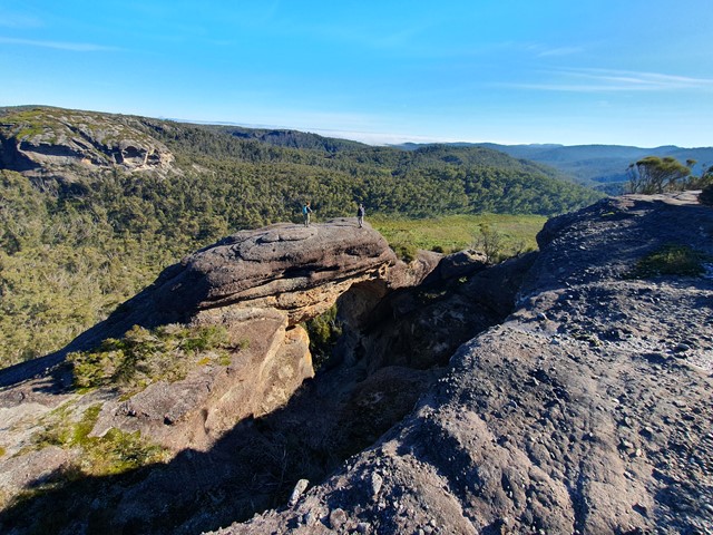
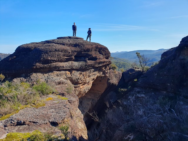
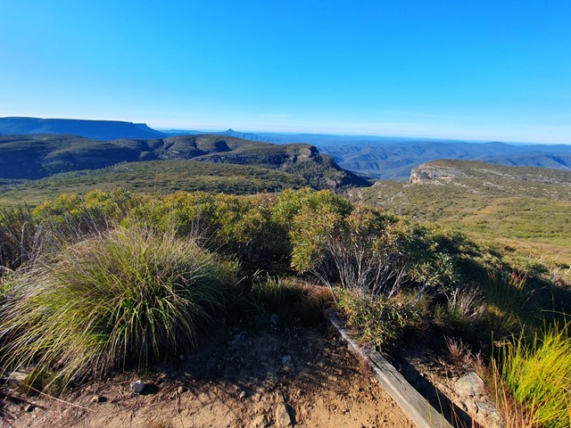
Corang Peak
A long yet relatively easy going day walk that includes Corang Peak, Corang Arch and Corang river.
 3.4
km
return
90
mins
3.4
km
return
90
mins
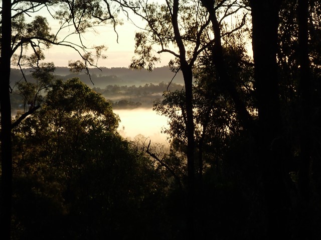
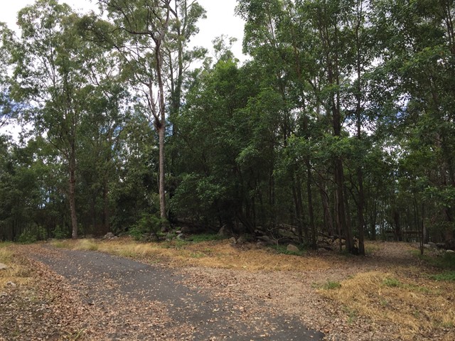
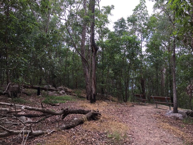
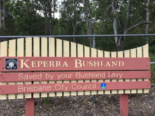
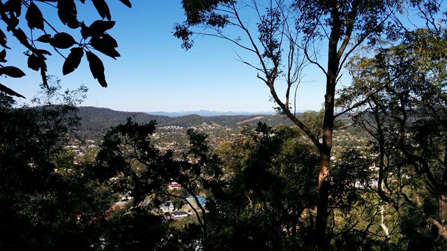
Keperra Bushland Lookout
A steep paved walk to the top of the Keperra Lookout. There are seats at the summit to look over Mount Coot-tha and the Flinders Peak group in the distance. The track loops back down a steep and loose fire trail which drops off the North side of the summit.
 650
m
return
15
mins
650
m
return
15
mins
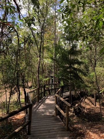
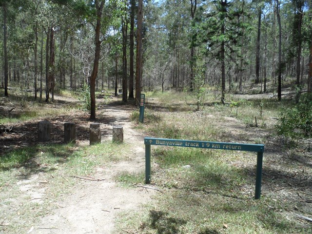
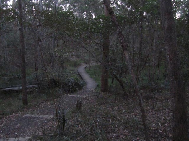
Bunyaville Conservation Park
Featuring a boardwalk and interpretive signs, this walking track starts and finishes at the northern end of the day-use area. Meander through dry open forest and discover the diverse range of eucalyptus species found in this peaceful reserve. Koalas are occasionally seen here—look out for their grey bodies high in the trees.