


 7.7
7.7 6
6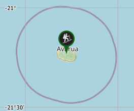
Aussie Bushwalking can keep track of your bushwalks.
Login/signup to tick this walk off.Te Manga
Cook Islands
Menu
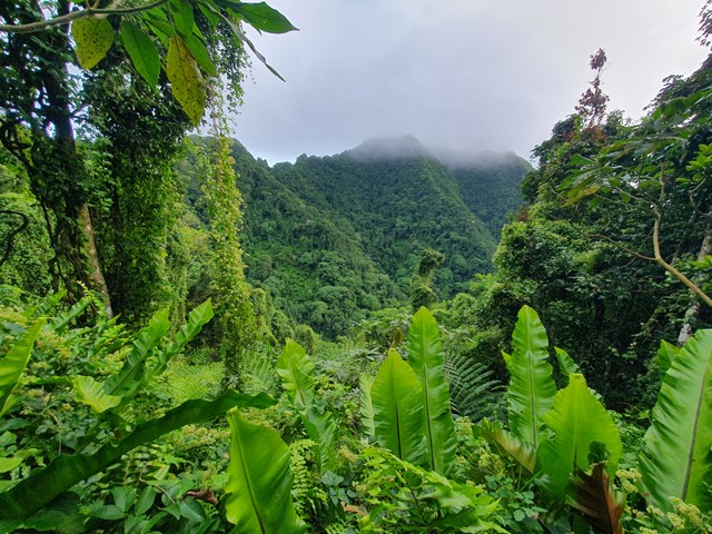
A difficult walk/scramble/climb up the highest mountain in the Cook Islands. With its tropical weather, and thick steep ridgelines this mountain is for the more experienced and determined hikers.
Waterfalls
Scrambling or Climbing
Navigation Required
Rainforest
652m
Maximum Elevation
Getting there
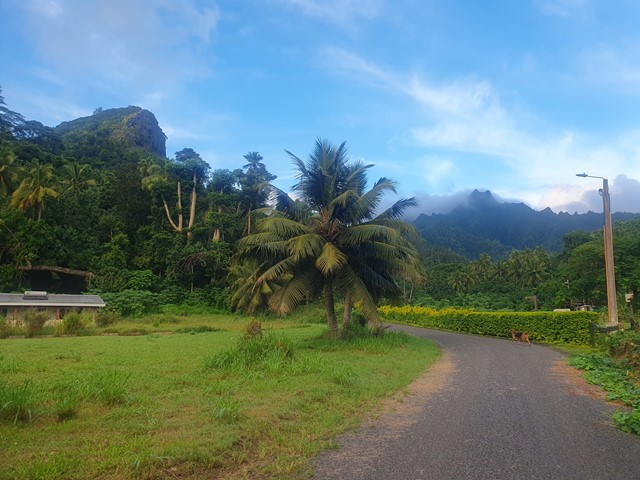
Walk starts from Tupapa Rd on the North East side of the island. If you are travelling there via bus you can just tell the driver to stop when you are nearby - the buses do clockwise and anticlockwise circuits and they stop where ever you want them to.
Route/Trail notes
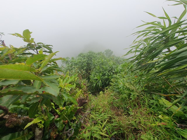
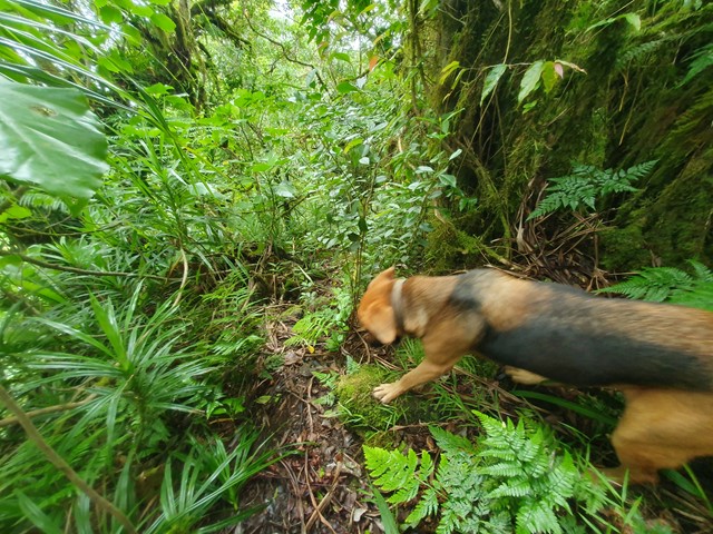
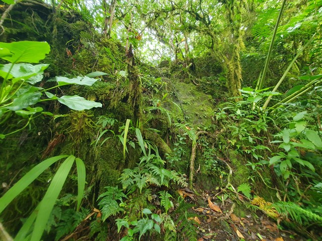
The walk starts off easy enough along a graded road that leads to a water collection point. From there you are into the bushes at the end of the road following the stream for a short while before beginning your steep ascent. The track is reasonably easy to follow with occasional tape also aiding navigation. The section up to the ridgeline is quite draining in the heat due to the complete lack of airflow. Once you hit the ridgeline the gradient eases for a bit and you start to get your first views. Eventually you will reach the start of the vertical sections. These sections have rope (of questionable reliability) fixed to assist your ascent. The first one has a few hand and footholds which allow you to climb without fully relying on the rope. The second vertical section about 20mins further on has little to no foot/hand holds. This is made even more difficult in the wet because the moss make the rock like ice. If you get past this section rest assure you have passed the worst of it.
After a while you will get up onto a razorback ridgeline with steep drop offs on either side. This is further complicated by the thick vegetation disguising massive holes in the ground that your whole leg will disappear into if you aren't careful. After traversing this section you will reach the long roped ascent to the summit. Some of these sections are almost as difficult as the 2nd wall from earlier but have more scrub on the side of the wall that you can dig your feet into being that the wet rock provides little grip. Immediately before arriving at the lower summit you will get to a Y intersection - walk about 10 meters to the right and you will be at the lower summit, continue to the left and you will descend then climb up to the higher summit. Once there you will see a sealed lunch box with a notebook to sign your name in and a dog bowl. Descend via the same route - carefully.
Permits/Costs
Nil cost
Other References
GPS Tracks
- No GPS available for this walk yet.
Comments