
Menu

 2.4
km
return
2.4
km
return
 45
mins
45
mins
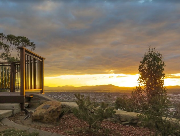
Oxley Lookout
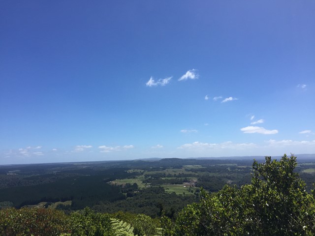
The Oxley lookout oversees the city of Tamworth. It can be accessed via road or if you are looking for a little challenge you can walk up the same road.
There are other walking tracks that you can access from the car park.
 1
km
return
45
mins
1
km
return
45
mins
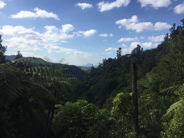
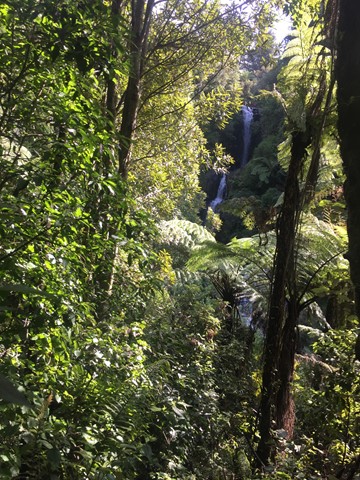
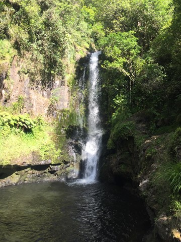
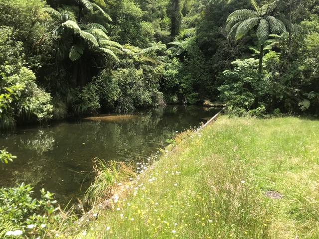
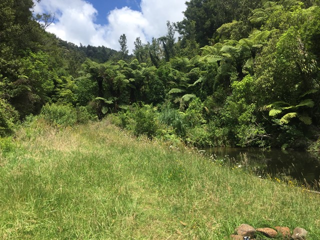
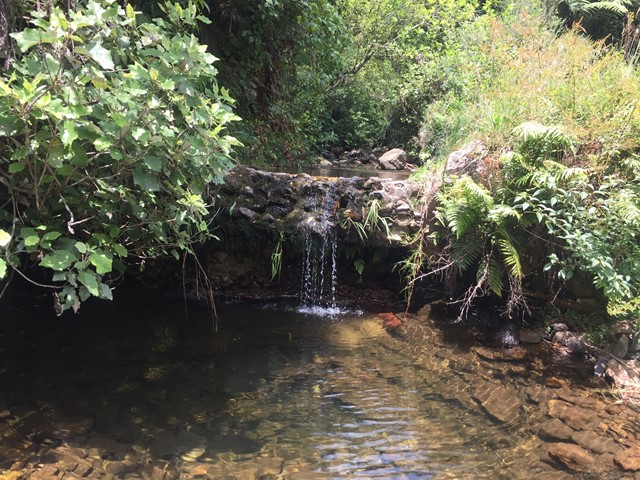
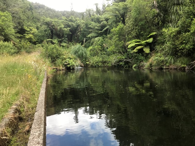
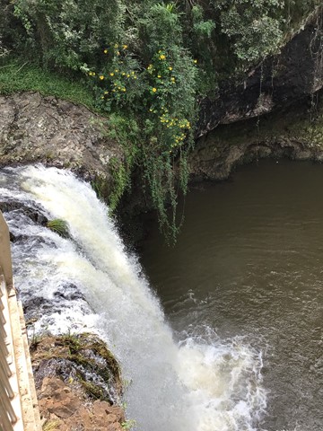
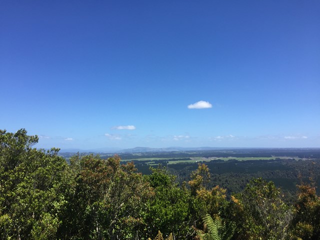
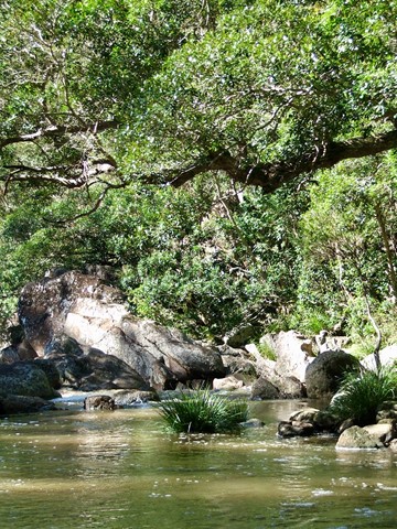
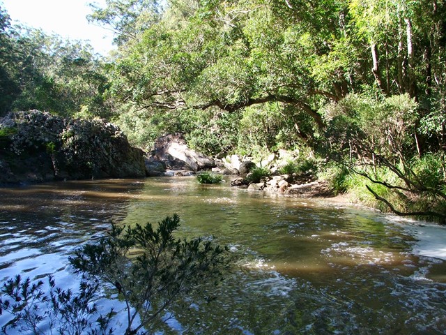
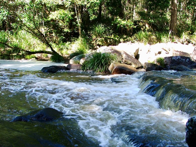
Kaiate Falls (Te Rerekawau)
A walk along Kaiate Stream to see multiple waterfalls and views of Mt. Maunganui out across the valley.
 1
km
return
30
mins
1
km
return
30
mins
Otawa Reservoir Track
Located in the Otawa Scenic Reserve this short walk with multiple small creek crossings leading to a small clearing which houses Boro Dam Te Puke's original water source.
 3.2
m
one-way
1
hr
3.2
m
one-way
1
hr
Bells Track
Walk from Bird Rock to Bells Beach Torquay along a well formed granite track with views over the ocean near the start of the Great Ocean Road
 3
km
return
20
mins
3
km
return
20
mins
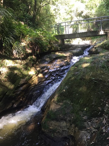
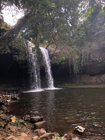
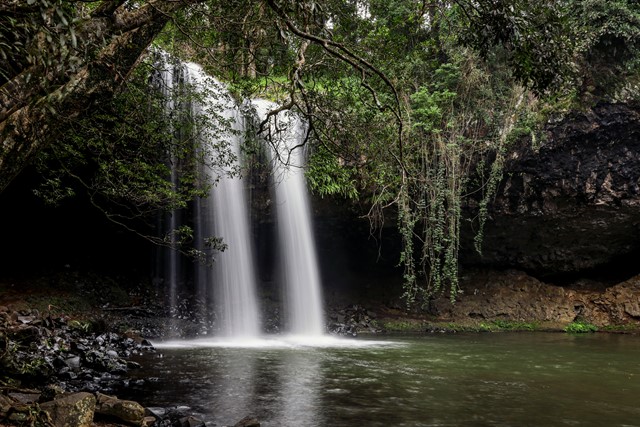
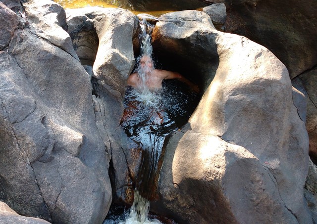
Killen Falls
A short walk to viewing platform and then down to the bottom of the falls. Great for a swim, although the pool bottom is very rocky and slippery (wear shoes).
 3.5
km
return
90
mins
3.5
km
return
90
mins
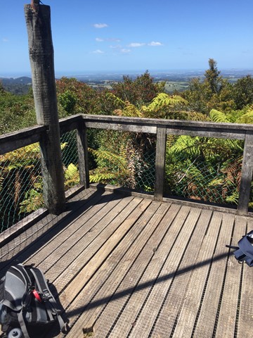
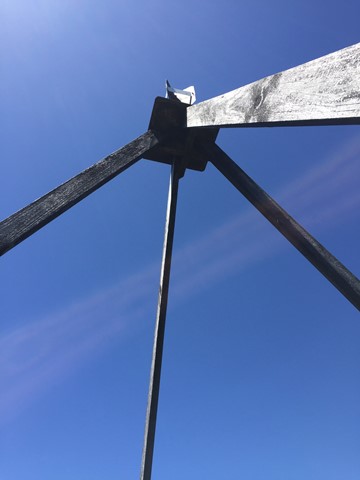
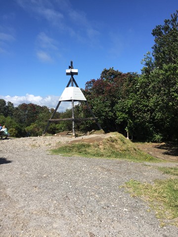
Otanewainuku Lookout Track
A walk in the Otanewainuku Forest Reserve to the top of Mt. Otanewainuku where there is a trig station with a tower for views.
 300
m
return
15
mins
300
m
return
15
mins
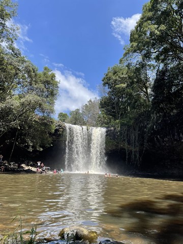
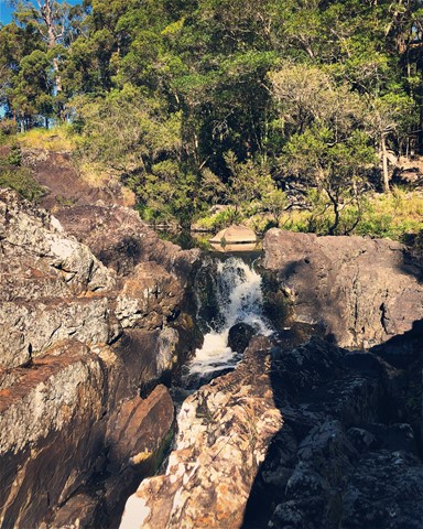
Cooloolabin Conservation Park - Kiamba Rd Section.
This is all about peace and tranquillity; sitting on the rocks or dipping your feet in the cool water pools, as the waters cascade over the boulders.
 4
km
return
2
hrs
4
km
return
2
hrs
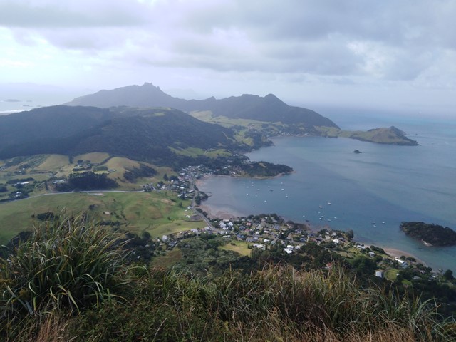
Mount Manaia
A steady walk with a lot of stairs to the lookout near the top of Mount Manaia. Very distinctive mountain with massive rock pillars on top of it. There is a rough track leading to the furthest pillar which you can climb up.
 14
km
return
7
hrs
14
km
return
7
hrs
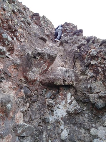
Kauaeranga Kauri Trail - Pinnacles Walk
Moderate 2.5-3 hour climb (one way) through the stunning Kauaeranga Valley to the Pinnacles Hut.
The summit is a further 45 minutes from here. You can do an over night stay at the hut and complete the summit at sunrise (recommended).
Follow the gravelled path and staircase. From here you will have to do some scrambling and negotiate a few metal ladders along with metal rungs to get to the top and take in the stunning views.
Once you've soaked it all in, return to the hut, pick up your pack and head back down. You can return via the
Webb Creek Track or Billygoay track with the former being the shorter route.
The tracks are well marked and impossible to lose.
 3.5
km
return
1
hr
3.5
km
return
1
hr
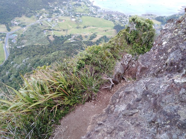
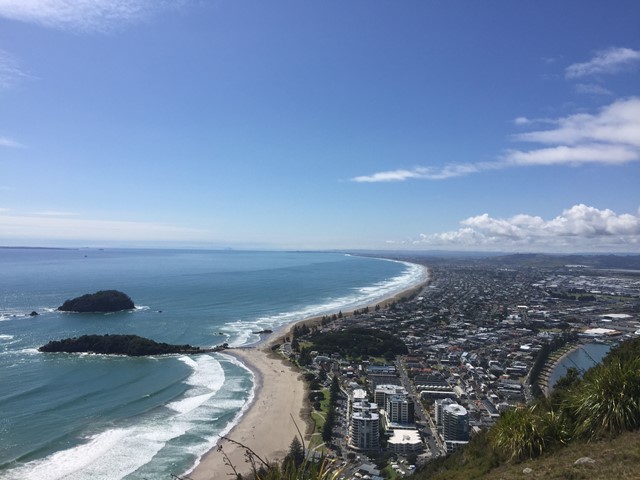
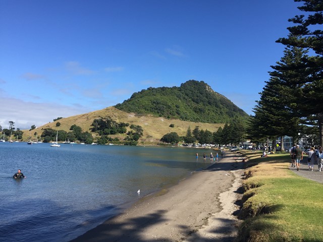
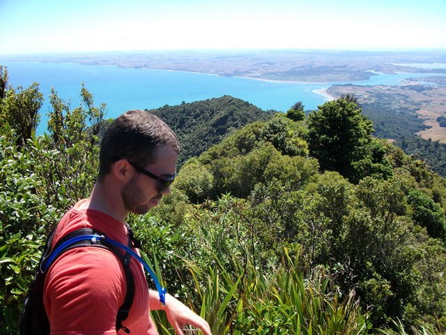
Mt Maunganui
A nice casual stroll up a well marked trail to the summit of Mt Maunganui where fantastic coastal views await you.
 5
km
return
3
hrs
5
km
return
3
hrs
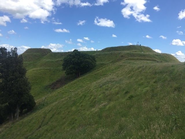
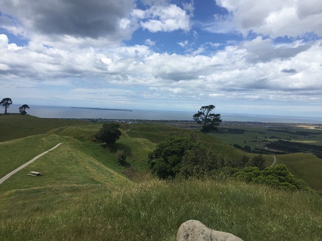
Papamoa Hills Karangaumu Summit Track + Te Rae o Papamoa Track
The walk is located in Pāpāmoa Hills Regional Park and offers 360 degree views as well as several maori pa sites.
 3
km
return
1
hr
3
km
return
1
hr
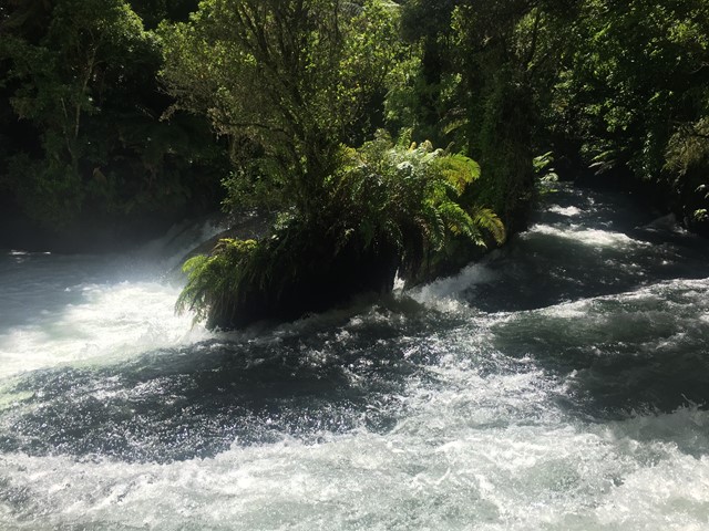
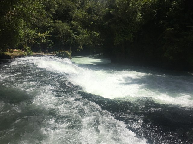
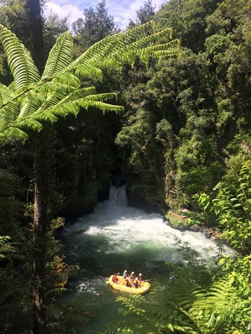
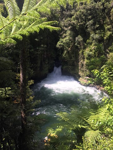
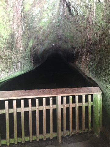
Okere Falls Track and Ridge Track loop
A walk in the Okere Falls Scenic Reserve following the Kaituna River. The Walk takes you to the Trout Pool, Trout Pool Falls, Tutea Falls, Hinemoa's Steps and Tutea's Cave and Okere Falls.
 3.2
km
return
1
hr
3.2
km
return
1
hr
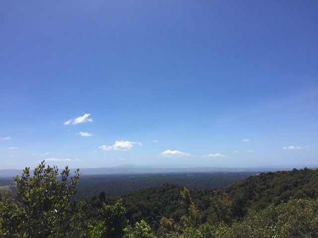
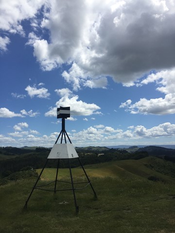
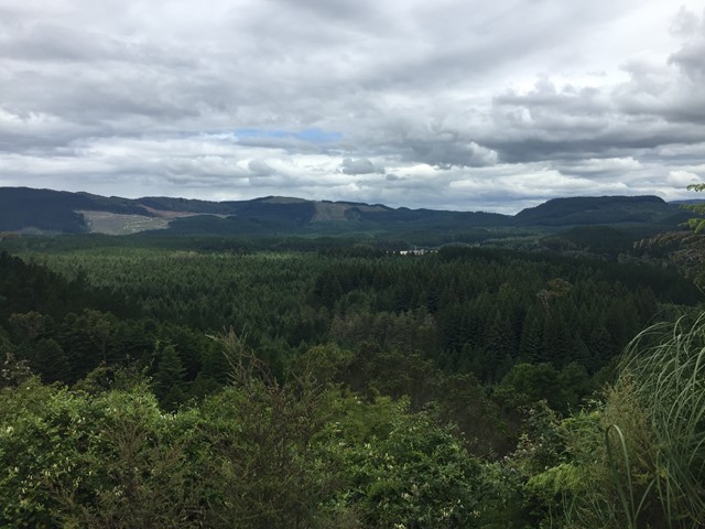
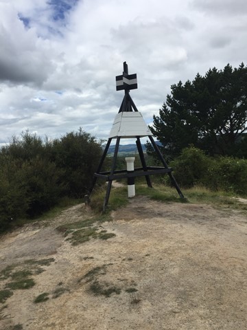
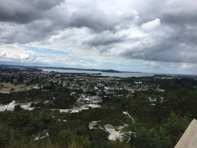
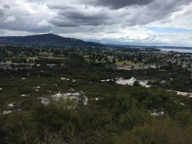
Pohaturoa Summit & Lookouts
This walk is in The Redwoods or Whakarewarewa Forest and takes you to the summit of Pohaturoa which is marked by Trig B26Q. It takes you to Lower Whaka and Upper Whaka Lookouts, Trig Lookout and Waipa Lookout. The Whaka Lookouts give views of Rotorua, Lake Rotorua, Whakarewarewa Thermal Area which includes Pohutu Geyser which is said to be the largest active geyser in the Southern Hemisphere, Mt Ngongotaha, Mokoia Island and more while the Trig and Waipa Lookouts look south. A bubbling mud pool is also passed on the way up.
Watch out for mountain bikes, horses and dogs as they can share some paths with you. There are a lot of different paths as there are many exclusively mountain bike tracks so try not to stray onto them.
 5.5
km
return
90
mins
5.5
km
return
90
mins
Lake Tikitapu (Blue Lake) Walking Circuit
A walking circuit around a lake in the Rotorua region.
 7.4
km
return
5
hrs
7.4
km
return
5
hrs
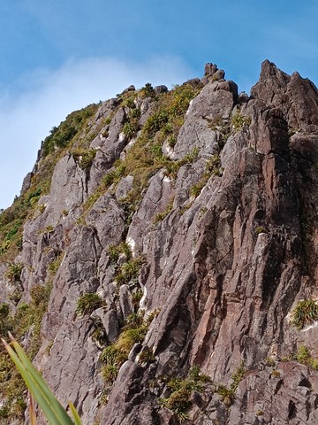
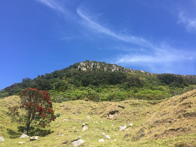
Mt Karioi
About an hour west of Hamilton lies the extinct Volcano known as Mt Karioi. The track starts off fairly steep through grassland and then thick forest on a very well marked track. Upon reaching the ridgeline you are greeted with excellent views that only get better the higher you go. After the initial climb the walk is fairly undulating until you reach the summit. There are a few ladders/stairs/near vertical ascents where you have the aid of a series of chains but nothing too challenging. The track, though well marked, gets very muddy, so if you decide to attempt this after wet weather be prepared to wreck the clothes you're wearing because you almost certainly will slip at some point. There is a helipad at the very top with 320 degree views out to the Raglan Harbour and beyond.
 46
km
one-way
3
days
46
km
one-way
3
days
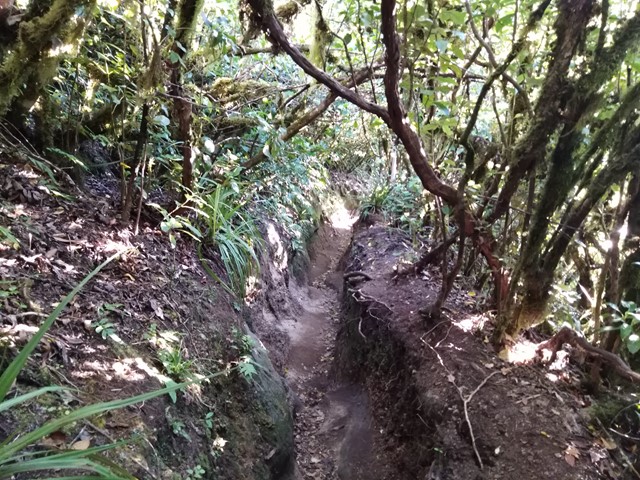
Lake Waikaremoana
Trace the shoreline of Lake Waikaremoana, the ‘sea of rippling waters’, through giant podocarp rainforest, remote beaches and rugged mountains with stunning views.
6
km
return
2
hrs
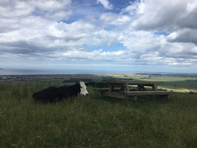
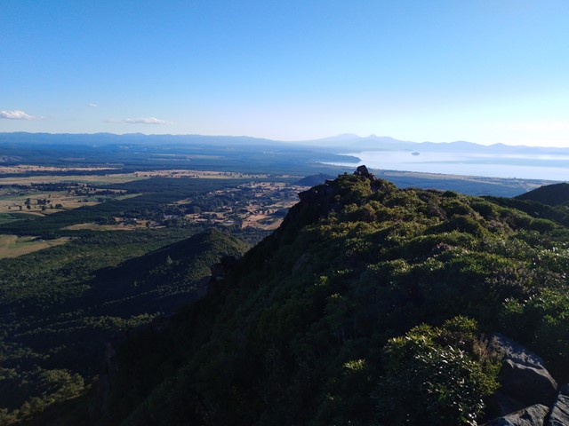
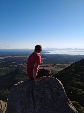
Mt Tauhara
A moderate hike to the summit that offers excellent views of Lake Taupo, Mt Ruapehu and Mt Tongariro. The track is very well marked however it branches off quite frequently, don't panic all tracks lead to the summit so you won't get lost. The summit has great views but the best views are a bit further down the ridge line on a rocky outcrop.
 10
km
return
6
hrs
10
km
return
6
hrs
Mt Ruapehu Crater Climb
http://www.doc.govt.nz/parks-and-recreation/places-to-go/central-north-island/places/tongariro-national-park/things-to-do/tracks/mount-ruapehu-crater-climb/
 7
km
return
6
hrs
7
km
return
6
hrs
Fanthams Peak
http://www.doc.govt.nz/parks-and-recreation/places-to-go/taranaki/places/egmont-national-park/things-to-do/tracks/dawson-falls-tramping-tracks/
 12.6
km
return
8
hrs
12.6
km
return
8
hrs
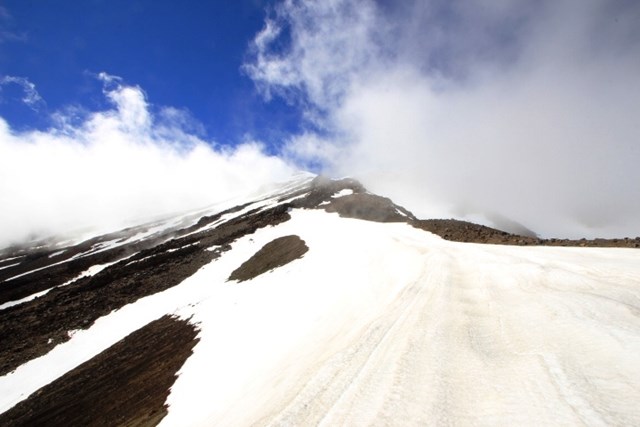
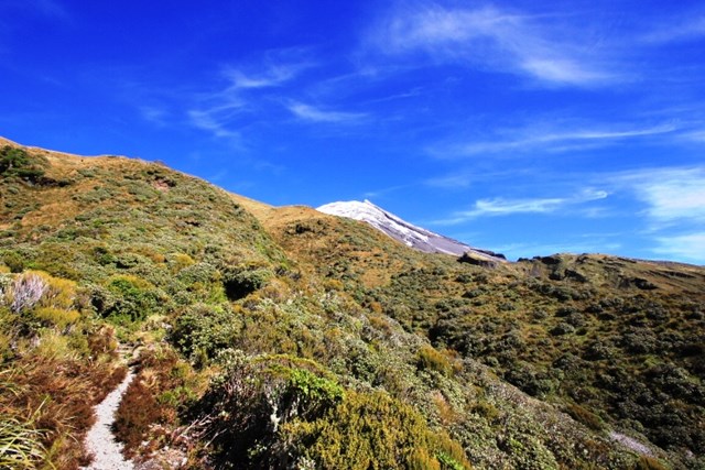
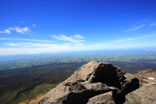
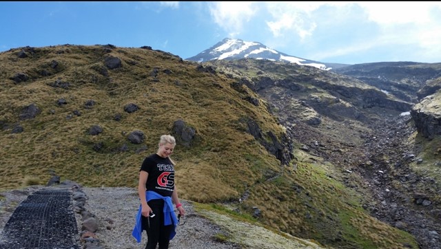
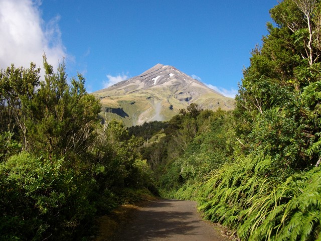
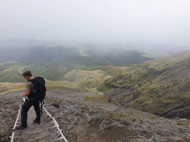
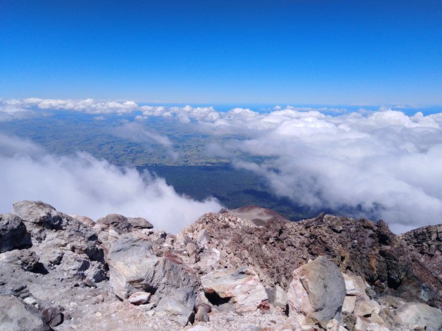
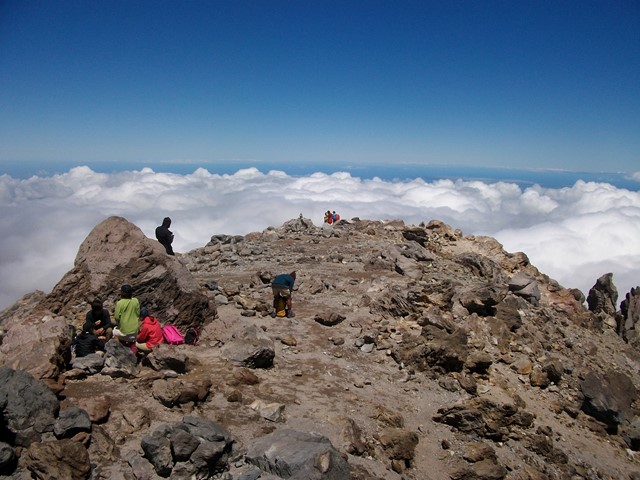
Mt Taranaki
Active Stratovolcano located just east of New Plymouth on the North Island of New Zealand. 2nd highest mountain on the north island and was used as the backdrop in the film 'The Last Samurai' due to its similarity to Mt Fuji. You can see it all the way from the Tongariro Alpine Crossing on a clear day! It should only be climbed in summer unless you have proper mountaineering experience, even then expect it to be snow/ice capped. An excellent and challenging walk to the summit with a bit of everything - scree/hiking/scrambling/crossing ice plains.