
Menu
Popular Walks
-
Werribee Gorge Circuit Walk
(8 ticks) -
Werribee Gorge Short Circuit Track
(2 ticks) -
Falcons Lookout
(0 tick) -
Centenary Walk
(0 tick) -
Ingliston Gorge/Sloss's Gully
(0 tick)
Parent Regions
Summary
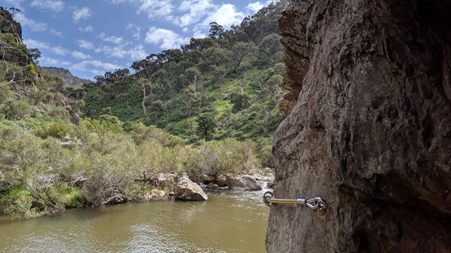
Werribee Gorge State Park covers an area of rugged natural beauty. The park is close enough to Melbourne for day trips and is popular with bushwalkers and rock climbers.
Popular Walks
-
Werribee Gorge Circuit Walk
(8 ticks) -
Werribee Gorge Short Circuit Track
(2 ticks) -
Falcons Lookout
(0 tick) -
Centenary Walk
(0 tick) -
Ingliston Gorge/Sloss's Gully
(0 tick)
Parent Regions
History
The 200m deep Werribee Gorge was formed about a million years ago when movements along a fault in the Earth's crust steepened gradient of the Werribee River.
Features
The park contains four official tracks ranging from the 3km River Walk through to the 10km Circuit Walk. Rock Climbing is permitted at Falcons Lookout. There are two picnic areas: Meikles Point and Quarry. There is also a swimming hole near Meikles Point Picnic Area.
Access
The park is approximately 8km west of Bacchus Marsh via the Western Freeway an dPentland Hills Road to Myers Road, or via Ironbark Road (Ballan-Ingliston Road) from Bacchus Marsh-Balliang Road.
Contact details
http://parkweb.vic.gov.au/explore/parks/werribee-gorge-state-park
Walks in Werribee Gorge State Park

 4
km
return
4
km
return
 2.5
hrs
2.5
hrs
Centenary Walk
Walk through to the James Whyte Island Reserve for panoramic views over Werribee Gorge and beyond.
3
km
return
2
hrs
Falcons Lookout
Falcons Lookout provides scenic views of Werribee Gorge and beyond.
5.1
km
return
2
mins
Ingliston Gorge/Sloss's Gully
Hike the less well-known gorge in Werribee Gorge State Park.
10
km
return
4.5
hrs
Werribee Gorge Circuit Walk
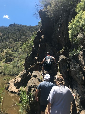
Explore the length of Werribee Gorge with spectacular views and rock hopping, all only an hour from Melbourne's CBD.
 5
km
return
2
hrs
5
km
return
2
hrs
Werribee Gorge Short Circuit Track
A shorter form of the Werribee Gorge Circuit Walk.