
Menu
Suggested searches
Your search found 30 results...

 6.2
km
return
6.2
km
return
 7
hrs
7
hrs
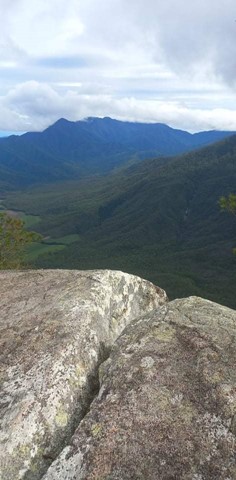
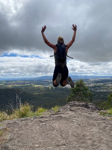
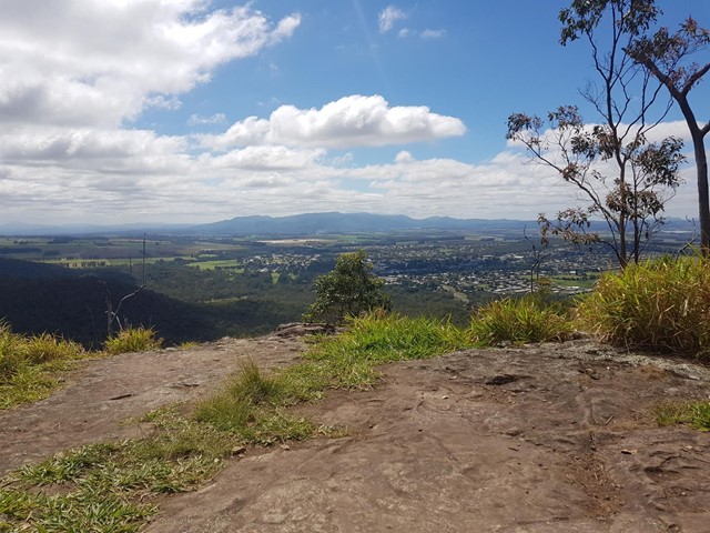
Walsh's Pyramid
Wooroonooran National Park
A very steep walk up the highest free standing pyramid in the world. You start at 20 metres, to the top at 884 metres.
 4
km
return
3
hrs
4
km
return
3
hrs
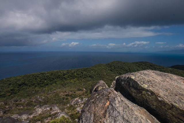
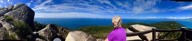
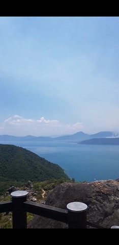
Summit Track
Fitzroy Island National Park
Track to the summit of Fitzroy Island with fantastic 360 degree views at the top. It’s a 3.6km return track (375m) and requires moderate level of fitness due to steepness. Track is located within Fitzroy Island National Park.
 3.6
km
return
2
hrs
3.6
km
return
2
hrs
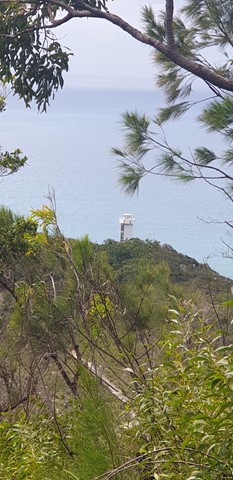
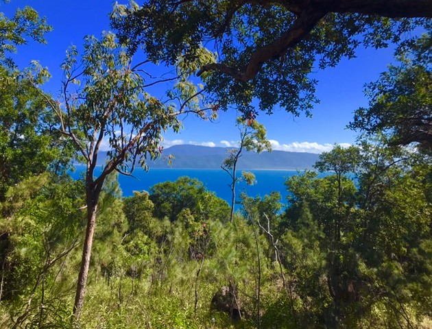
Lighthouse Road
Fitzroy Island National Park
Follow the steep, concrete service road as it climbs through rainforest to the old lighthouse. From the lighthouse, enjoy spectacular ocean views and in winter look for the occasional migrating humpbackwhale.
2
km
return
1
hr
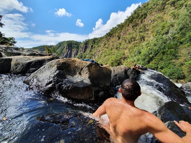
Emerald Creek Falls walking track
Far North Queensland
Emerald Creek rushes out of the rainforests of the Lamb Range. The waters of the creek tumble over granite boulders, forming the picturesque falls that plunge into placid pools.
19.5
km
one-way
Goldfield Trail
Wooroonooran National Park
The Goldfield trail follows a 19 km historic path through the rainforest of Wooroonooran National Park. It crosses numerous picturesque creeks and climbs over a low saddle between Queensland’s two highest peaks, Bartle Frere and Bellenden Ker.
11
km
return
2.75
hrs
Windin Falls Tail
Wooroonooran National Park
Wonderful walk to the top of the epic Windin Falls. Approximately 90mins each way from the car park. 11kms return.
Access is via Gourka Road, which is off Topaz Road, out from Malanda. You will see signs to both Windin Falls and Battle-Frere Western Approach. Head to the left, following Windin Falls signage.
The track is pretty easy, a couple of inclines but not too steep. One steep section, not very long, when you are approaching the creek/falls.
Rainforest landscape. Be aware of leeches.
This was a bloody fantastic walk with a stunning valley view. Highly recommend.
16
km
return
12
hrs
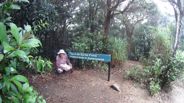
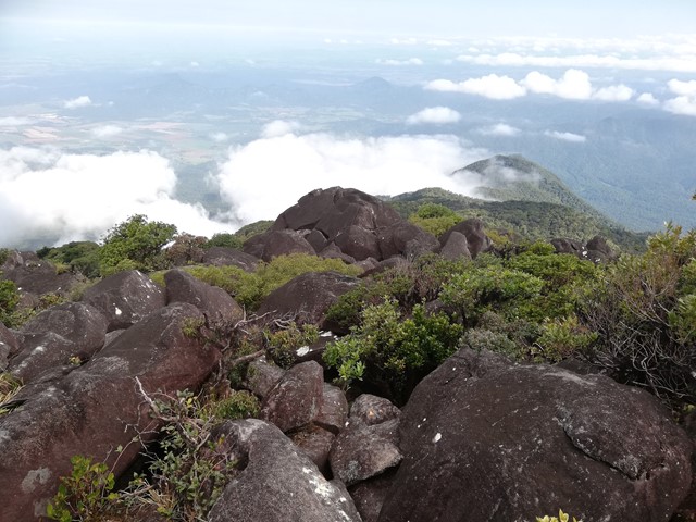
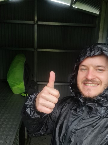
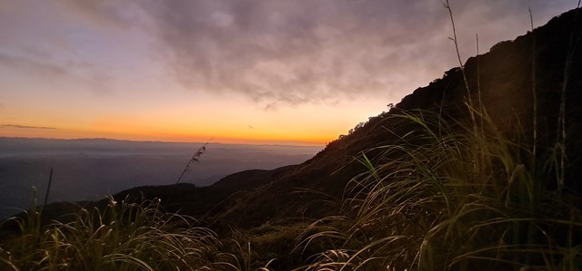
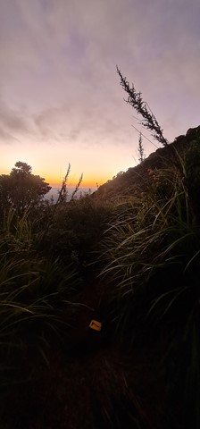
Mt Bartle Frere - Western Approach
Wooroonooran National Park
Climb to the summit of Queensland's highest mountain (1,622m) provides a challenging way to explore this part of the World Heritage-listed rainforest of the Bellenden Ker Range. This is not a race, so allow yourself two days to walk (recommended), climb and enjoy this trail. The fabulous summit views include the township of Innisfail and the coast to the east, and to the west, the undulating landscape of the Atherton Tableland.
 8.6
km
return
2.5
hrs
8.6
km
return
2.5
hrs
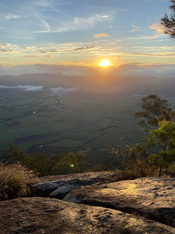
Mount Baldy and Yabi Mountain
Far North Queensland
Nice 3hr walk with two summits and views back over Atherton and the tablelands.
If you're looking for something longer then the 3km circuits but shorter then the multi-day hikes!
Very well maintained track, well signed with options of doing this full circuit or just one summit.
Range of plant life from bush to tropics, we saw hundreds of birds including lots of cockatoos.
Walk is dog friendly.
 13.4
km
return
4
hrs
13.4
km
return
4
hrs
The Bump Track
North Queensland
A steep but relatively straightforward walk that takes you from the Mowbray River Valley near Port Douglas to the Black Mountain Road.
 15
km
return
12
hrs
15
km
return
12
hrs
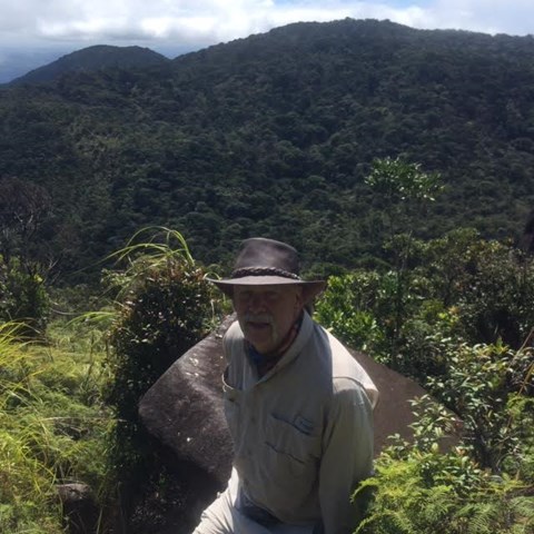
Mount Bartle Frere - Eastern Approach
Wooroonooran National Park
Mount Bartle Frere is Queensland's highest mountain. The eastern approach is a serious undertaking - after the Hannel Spur route up Mount Kosciuszko (1,800m elevation gain), it has the second most elevation gain of any summit in Australia (1,500m). Objective hazards include the boulder field below the summit which, due to the fact that orographic lifting means that the summit spends the majority of time in the cloud, is usually wet and slippery.