
Menu
Suggested searches
Your search found 510 results...

 2
km
return
2
km
return
 40
mins
40
mins
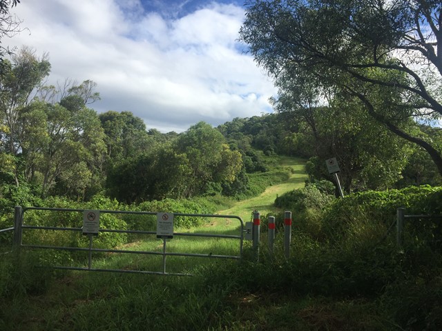
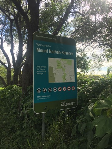
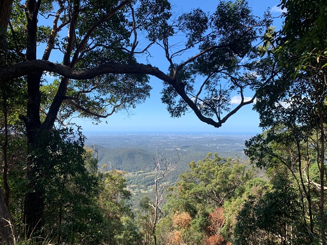
Mount Nathan (Nathan Valley Road access)
Gold Coast
A short walk through the Mount Nathan Reserve to the summit of Mount Nathan with some views of the Gold Coast.
 6
km
return
2.5
hrs
6
km
return
2.5
hrs
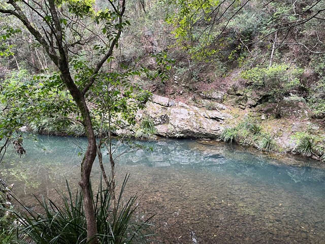
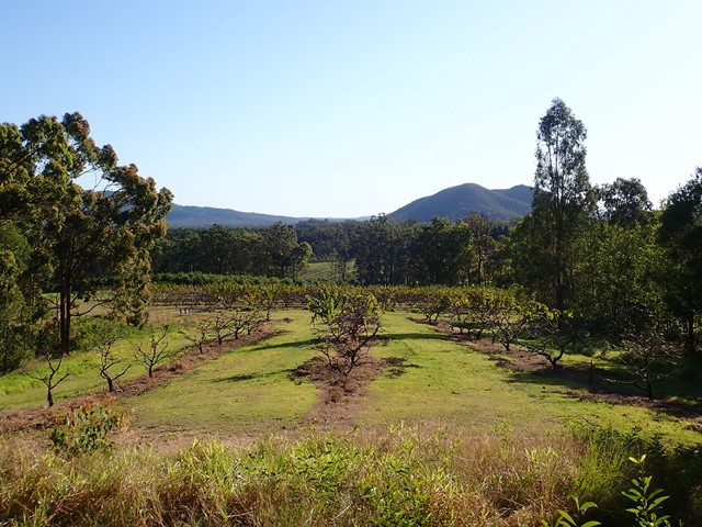
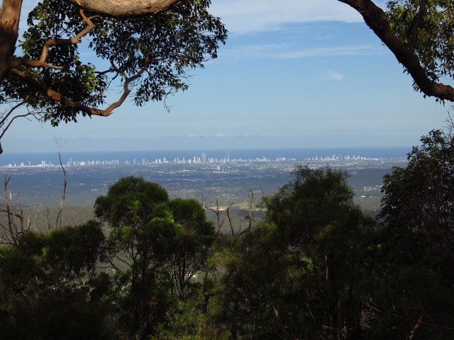
Mount Nathan (Clagiraba Road access)
Gold Coast
From creek to mountain through the bush. Views towards the east from Mt Nathan.
 2.8
km
return
90
mins
2.8
km
return
90
mins
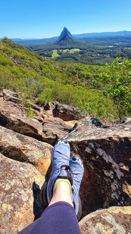
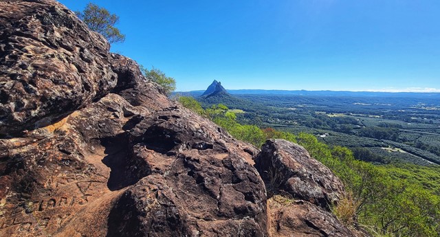
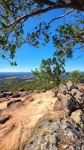
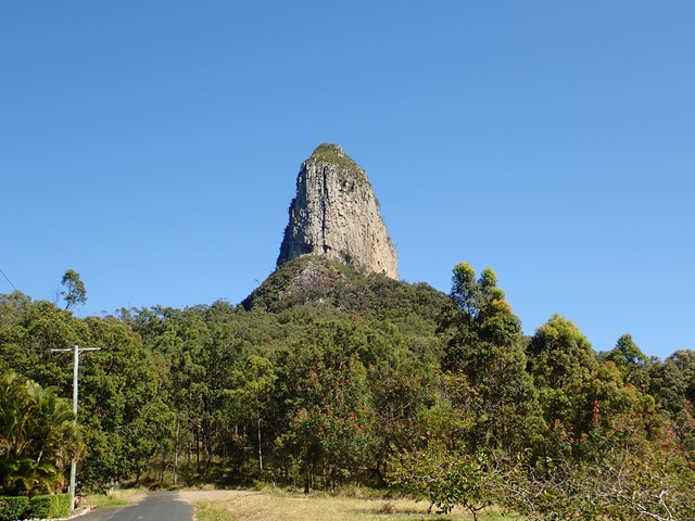
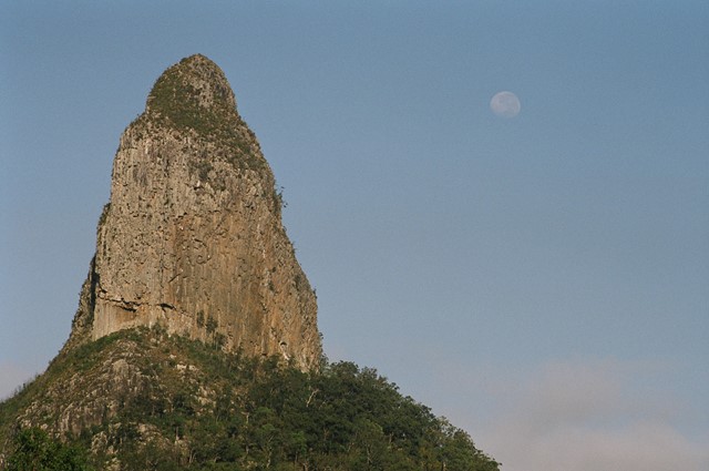
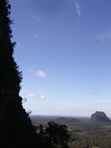
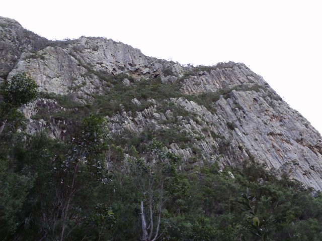
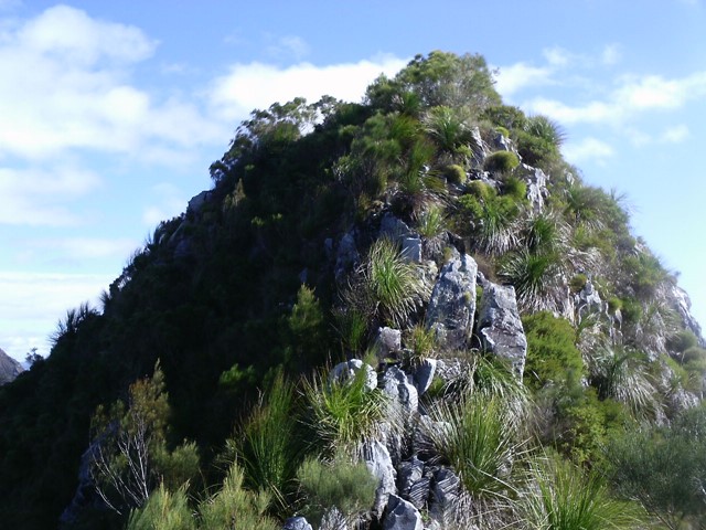
Mt Ngungun
Glass House Mountains National Park
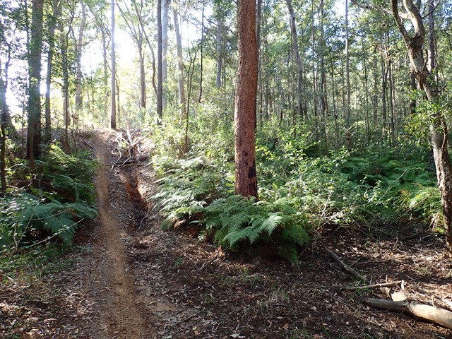
Mount Ngungun (pronounced 'noo noo')but generally known as "Gun Gun" is a very popular hike due to its relative ease and fantastic views. Traditional owners have asked that this mountain not be climbed.
A well defined graded track with some steep sections. The track begins in open forest with a fern understory. Part way up the mountain, there is a great view of Mt Tibrogargan as the track passes a small rock overhang. The summit provides spectacular close-up views of nearby Mt Tibrogargan, Mt Tibberoowuccum, Mt Coonowrin and Mt Beerwah.
 200
m
return
15
mins
200
m
return
15
mins
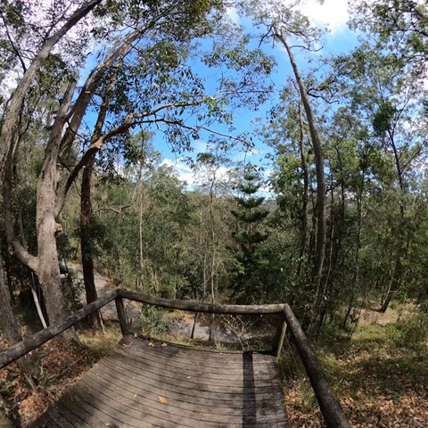
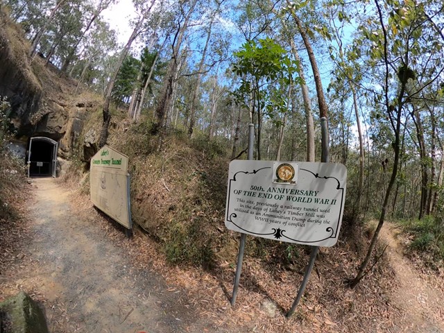
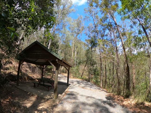
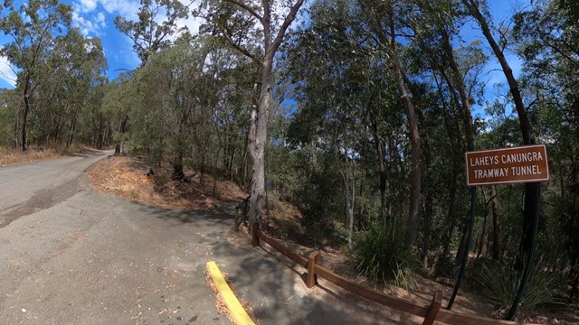
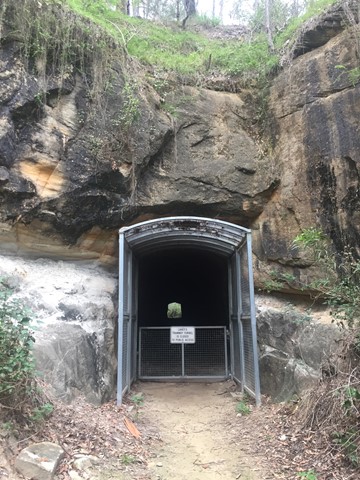
Lahey’s Tramway
South East Queensland
Very short, easy walk. Just off the road so it’s very accessible. Informative sign at the bottom. You can’t go in to the tunnel though, but you can learn a bit about the history.
 12
km
2.25
hrs
12
km
2.25
hrs
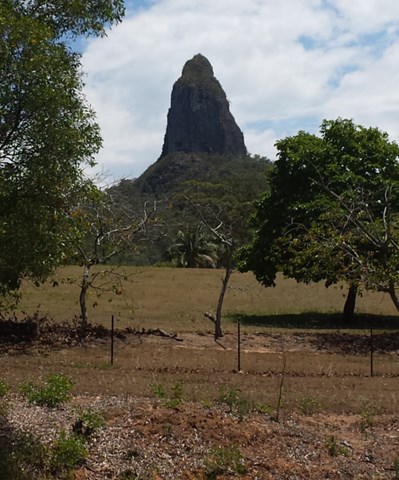
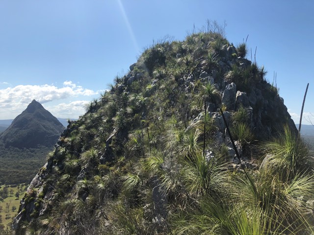
Coonowrin Circut (almost)
Glass House Mountains National Park
This track ALMOST makes it around the entire Coonowrin Circut, infact it is only a matter of 385mts that is blocked off by a gate and heaps of Private Property signs.
 3
hrs
3
hrs
Mt Coonowrin
Glass House Mountains National Park
Access to this mountain is closed. Significant penalties apply to anyone found on this mountain without a permit. It is unclear on what grounds a permit may be granted, but if one can be obtained, the previously established route would likely have disappeared.
 3
km
return
4
hrs
3
km
return
4
hrs
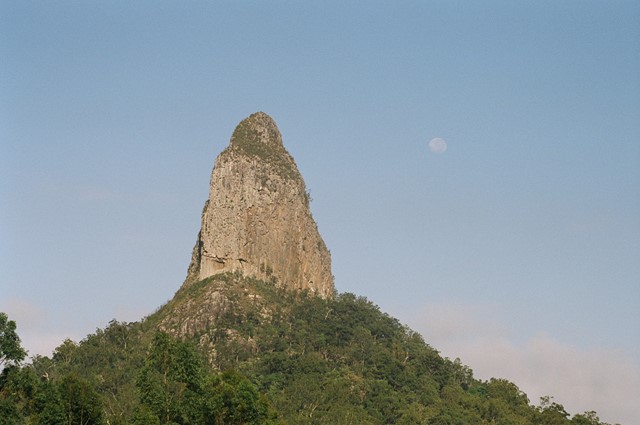
Mt Coonowrin Summit
Glass House Mountains National Park
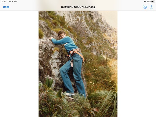
This climb has been closed since the late 90's when I last climbed this mountain.QPWS have banned public access to Mt Coonowrin due to unstable rock and safety concerns. I have included these notes in the hope that QPWS will one day reopen this mountain.
WARNING: Any one caught walking or climbing this mountain faces a minimum $440 fine.
This track requires rock climbing experience and is extremely exposed and WILL result in death or serious injury if attempted by the inexperienced.
 1.8
km
return
35
mins
1.8
km
return
35
mins
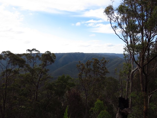
Freeman's Lookout Track
South East Queensland
Access to Lower Beechmont Conservation Area from Freemans Rd, Lower Beechmont. Panoramic view out over the Gold Coast, north to Mt Tamborine and west to Canungra.
 11
km
one-way
3
hrs
11
km
one-way
3
hrs
Esk to Ottaba - Part of BVRT
Brisbane Valley Rail Trail
Approximately 11kms along the Brisbane Valley Rail Trail. Very exposed, but pleasant walking.
900
m
return
20
mins
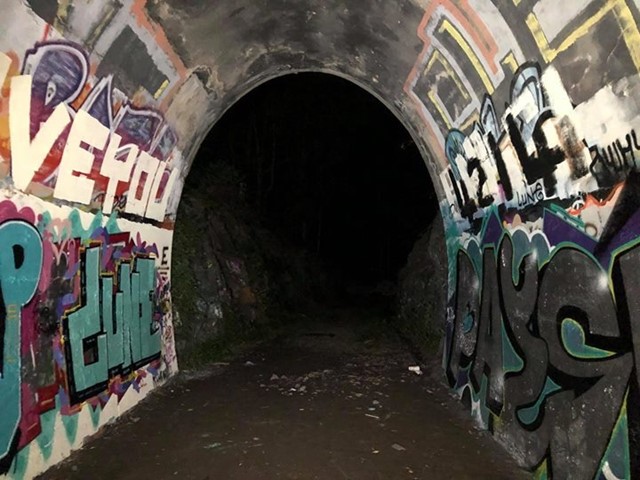
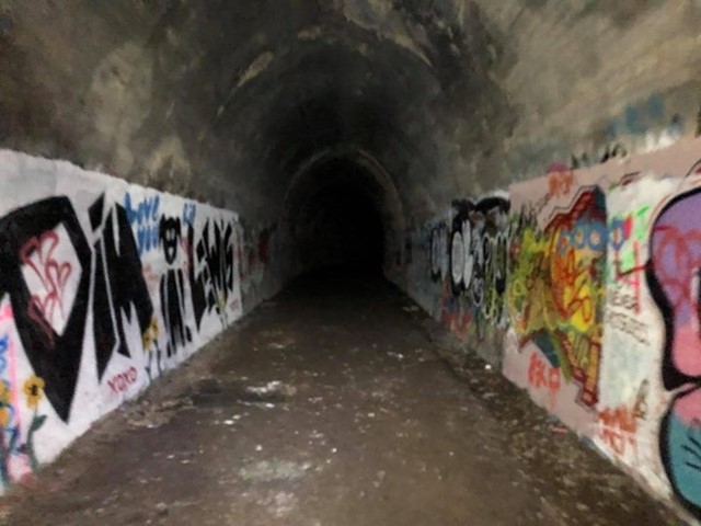
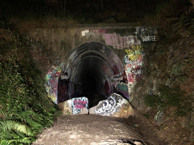
Ernest Junction Tunnel
Gold Coast
This track follows the remnants of the South Coast Railway. With a short trail walk to the tunnel.