


Menu
Suggested searches
Your search found 510 results...

 7.1
km
return
7.1
km
return
 3
hrs
3
hrs
Trachyte and Tibrogargan Circuit
Glass House Mountains National Park
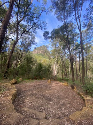
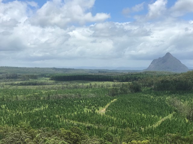
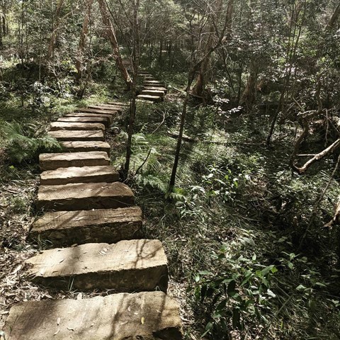
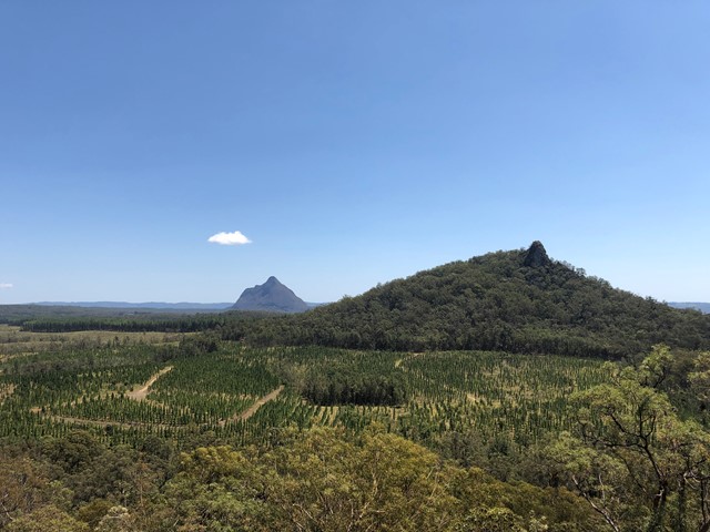
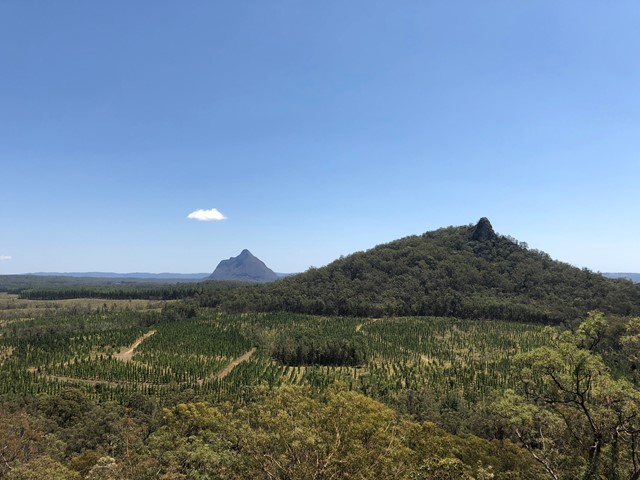
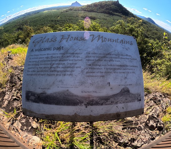
A nice, easy walk with nothing too strenuous. Leading from the car park, begin the Tibrogargan Circuit. At the first fork take a right (sign post and map at the fork). The circuit winds through open eucalypti, casuarina and native flora alongside Mount Tibrogargan and Mount Tibberoowuccum. Signage along the track provide information about the area's flora and fauna. The trail then ascends to the Jack Ferris lookout which is atop Trachyte Ridge and affords walkers a panoramic view of surrounding peaks and pine forest plantation. Interestingly, the Glasshouse Mountains themselves are volcanic plugs formed largely of rhyolite and trachyte which remain after the surrounding sandstone eroded over 25 million years.


 5.9
km
return
2
hrs
5.9
km
return
2
hrs
Trachyte Circuit
Glass House Mountains National Park
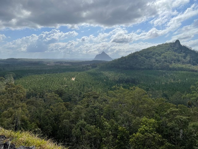
This circuit leads through open woodland and heathland linking Mount Tibrogargan and Mount Tibberoowuccum. Interpretive signs along the track provide details of the area's special features. The Jack Ferris lookout, on Trachyte Ridge, allows for good views of the surrounding peaks. This ridge owes its name to a type of volcanic rock which forms many of the Glass House Mountains peaks.

 3.3
km
return
90
mins
3.3
km
return
90
mins
Tibrogargan Circuit
Glass House Mountains National Park
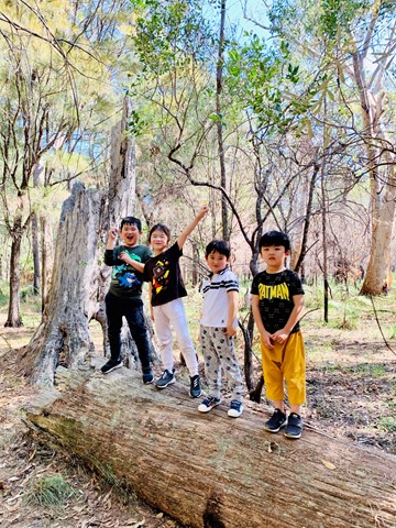
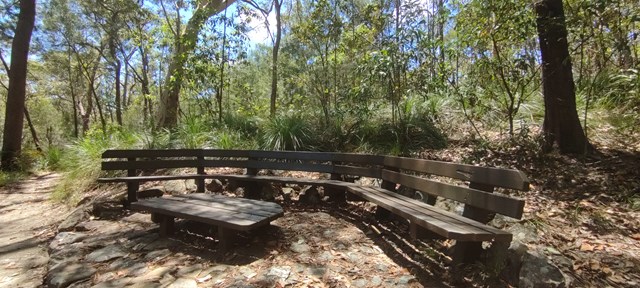
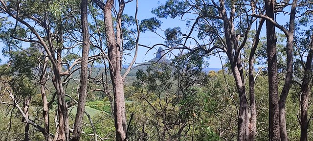
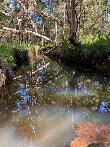
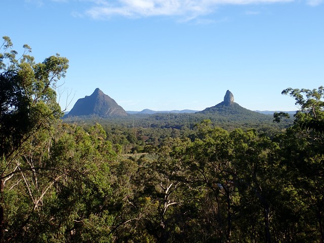
The walking track leads around the base of Mount Tibrogargan, through casuarina groves, open eucalypt and melaleuca forests. The track allows for great views of Mount Tibrogargan and Mount Cooee (to the north east). Keep an eye out for circling peregrine falcons. There are a number of seats along the way for those that like to stop and take it all in.
 800
m
return
30
mins
800
m
return
30
mins
Glass House Mountain Lookout
Glass House Mountains National Park
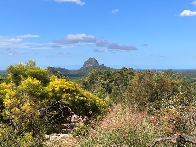
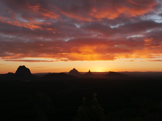
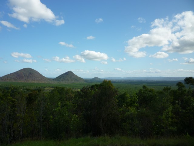
The lookout is about 10km from the Glass House Mountains township, in Beerburrum West State Forest. It offers panoramic views of the mountain peaks, Caloundra, Maroochydore, Brisbane and Moreton Island. A short walking track starting at the lookout leads you through open scribbly gum forest, down through a wet eucalypt forest gully and returns back to the lookout.

 4
km
return
2.5
hrs
4
km
return
2.5
hrs
Mount Cooee
Glass House Mountains National Park
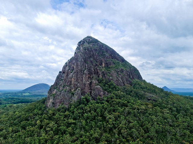
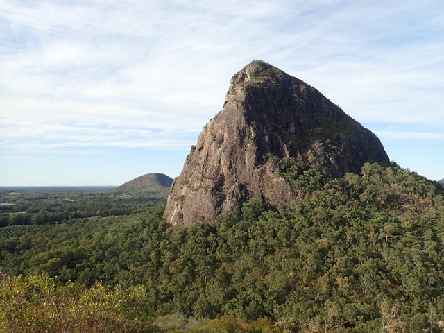
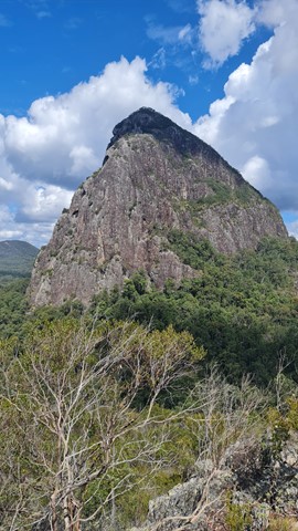
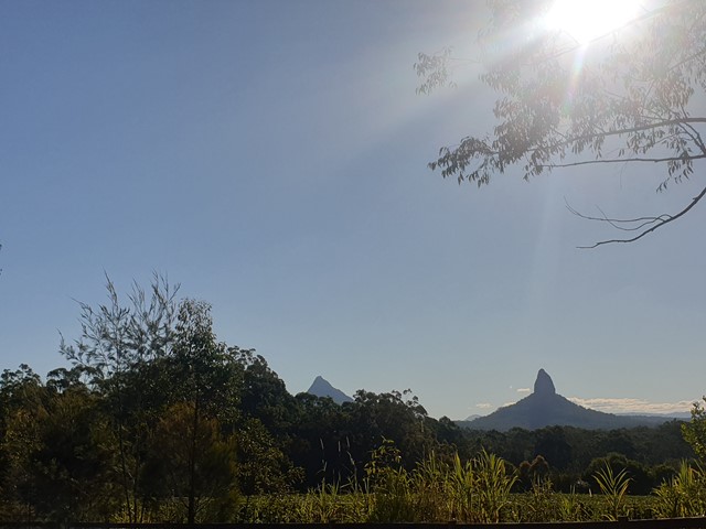
At just 167m, this is probably the least climbed and one of the least known mountains in the area, especially as it is overshadowed by Mount Tibrogargan immediately to the west.

 100
m
return
10
mins
100
m
return
10
mins
Cunningham's Crest Lookout
South East Queensland
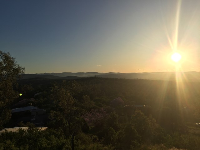
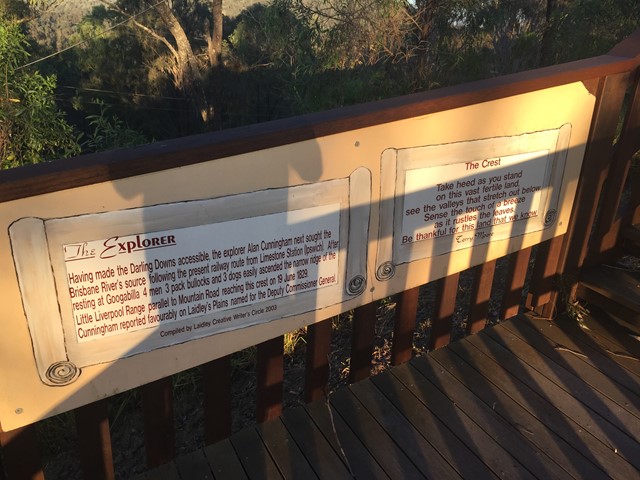
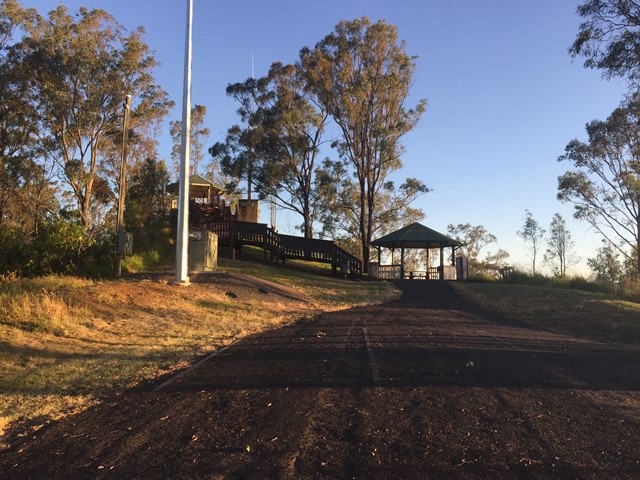
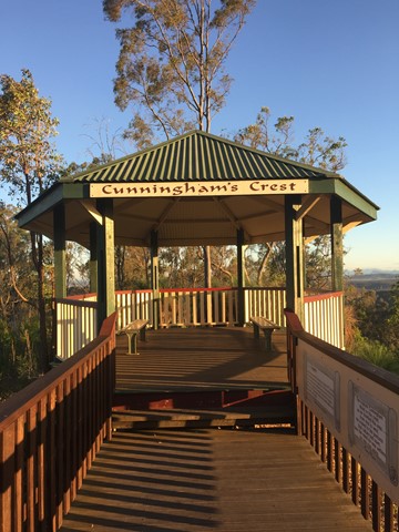
A short boardwalk with interpretive signage leads to the lookout which sits atop the Little Liverpool Range.

 5
km
return
1
hr
5
km
return
1
hr
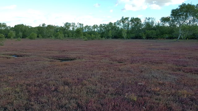
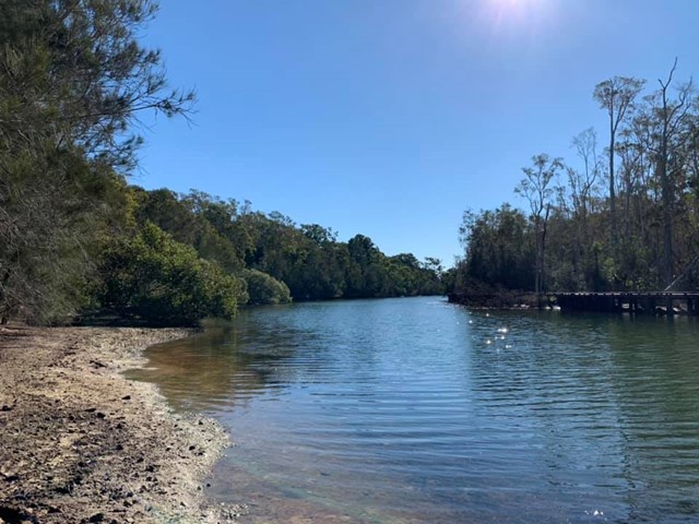
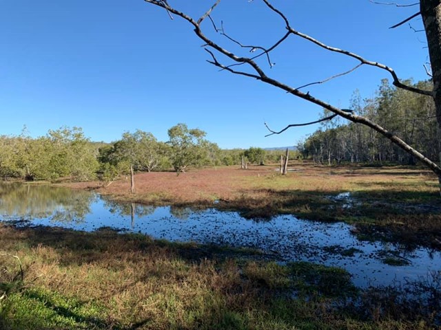
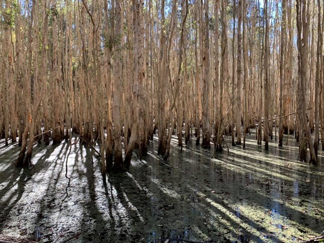
Coombabah Lakelands Conservation Area
Coombabah Lakelands Conservation Area
There is no direct track, just a heap of different paths, where you can wonder through the conservation area spotting all sorts of wildlife. Especially kangaroos, that are slowly becoming more used to humans, so you can get some really nice photos of some semi wild kangaroos. Otherwise there are koalas and bird life also to enjoy.

 3.6
km
return
1
hr
3.6
km
return
1
hr
Wetland Trail
Coombabah Lakelands Conservation Area
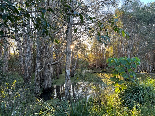
Well signed trail through the wetland. Concrete surface/ gravel surface. Occasional seating areas. Partly wheel chair friendly.
 6
km
return
2
hrs
6
km
return
2
hrs
Nerang National Park Ridge Loop
Gold Coast
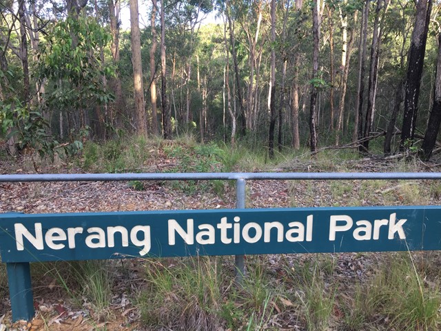
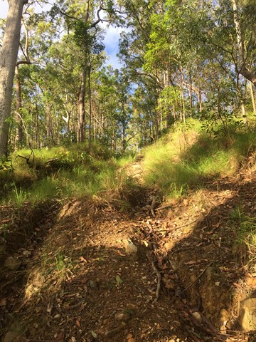
A walk in Nerang National Park ascending via the Nerang Break to the highest point in the National Park and then following the ridge North till dropping down to the Western Break via the steep 400 Break. Then following the Western Break to the start.


 10.6
km
return
3
hrs
10.6
km
return
3
hrs
Nerang State Forest Centre Road
South East Queensland
Decent walk through the State Forest. Network of trails to chose from to form a loop or simply return.