
Menu
Suggested searches
Your search found 510 results...

 750
m
one-way
750
m
one-way
 3
hrs
3
hrs
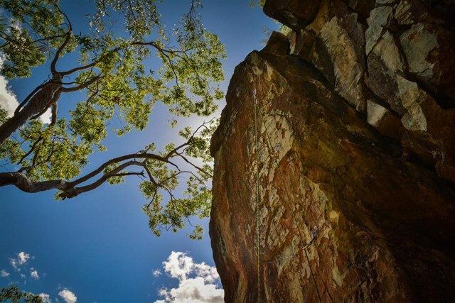
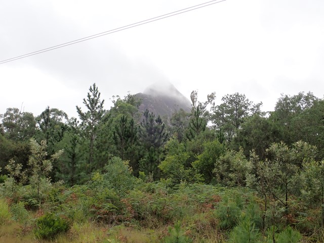
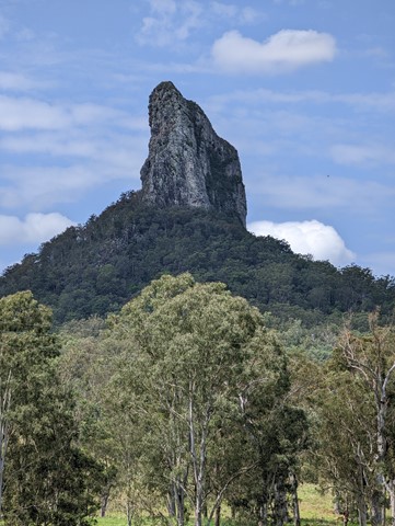
Mt. Beerwah - Alpine Route
Glass House Mountains National Park
Steep and tricky scramble followed by a nasty scrub bash section, climbing the North West side to join the upper tourist track. Basic rock climbing skills are needed to ascend the first 100m. Rope and some trad gear would be advisable on the lower section to lead a group.
A route of a strong wild environment and adventure character not to be taken lightly by inexperienced route finders.
 3.6
km
return
3
hrs
3.6
km
return
3
hrs
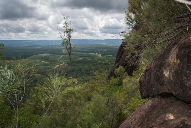
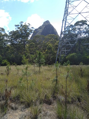
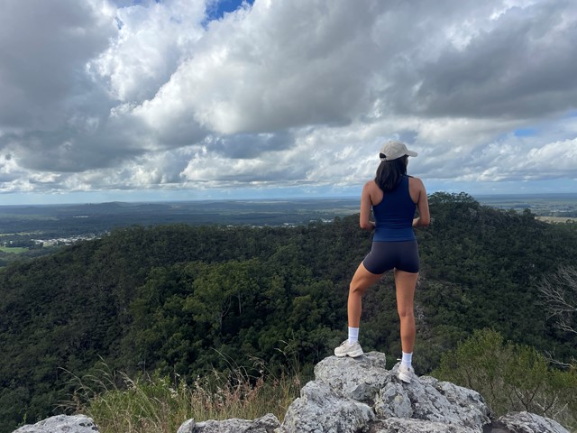
Mount Beerwah
Glass House Mountains National Park
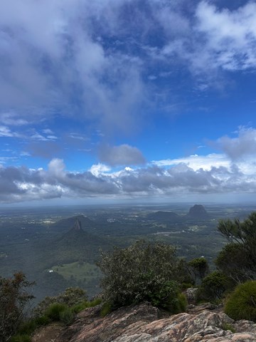
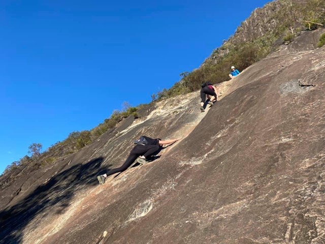
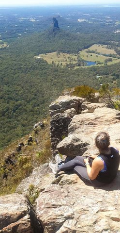
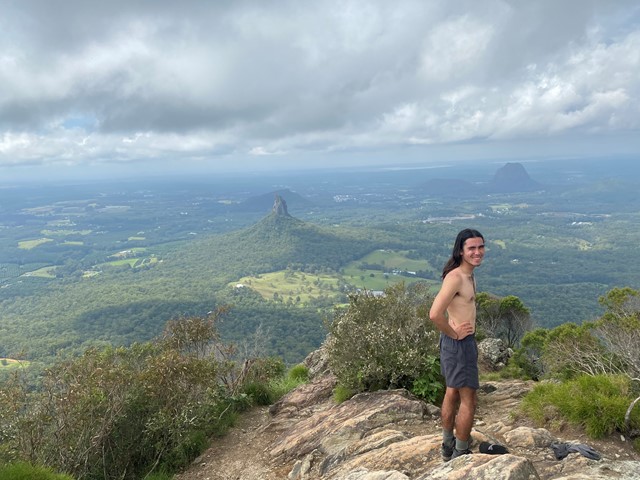
Best to do this walk early before the heat of the day. From the base it's a steep rock climb/scramble up that seems to go on forever. Once past this initial climb, you reach the Organ Pipes. From here it's a moderate walk/scramble to the top. Views are amazing from the summit. Take your time coming down, use your feet and hands to control your descent as it's steep. If you're willing to sacrifice your pants to the rock, a crab walk/butt scoot down is effective for grip and won't make you slide Take water and some energy food as you'll be tired and need to get some energy, especially in the warmer months. Approx 3hrs. Great if you like a challenge.
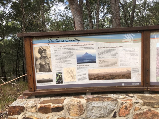
Take care with this walk/climb, but go soon. A small group of Australians calling themselves the "Jinibara" have Non-Exclusive native title to the national park and want to prevent others paying homage to this wonderful mountain by climbing it. Be proud of your achievement if you reach the summit, but only if you feel confident on the steep rock.
 1.3
km
30
mins
1.3
km
30
mins
Mount Beerwah Western Boundary
Glass House Mountains National Park
Just a short stroll with glimpses of Mount Beerwah on your left. this track ended with no signage although we continued walking along the fire trail until we came out at a main fire trail near the power lines possibly called Connection Road. The extra walk would be aprox 1.5-2km each way which made the total walk about 1hr.
 4.4
km
return
90
mins
4.4
km
return
90
mins
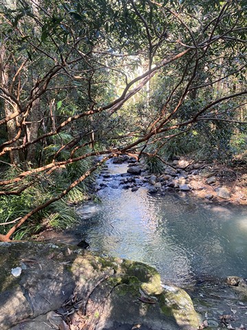
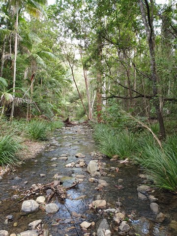
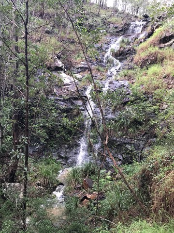
Clagiraba Creek Trail
South East Queensland
The Clagiraba Creek trail (5.3 kilometres return from the Bellis Road entrance) takes you deep into the green tranquillity of subtropical rainforests. It's possible to access the Clagiraba Creek trail from Barcoo Court, but be prepared for a more challenging route with steeper hills, popular with mountain bike riders and horse riders.
 9.5
km
one-way
3
hrs
9.5
km
one-way
3
hrs
Mount Beerwah Base
Glass House Mountains National Park
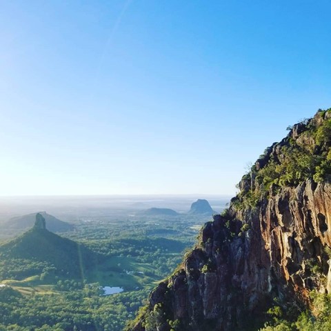
This walk travels along tracks and roads that link to circumnavigate the base of Mour Beerwah. It gives great views of the mountain from different angles and its many faces.
 2.9
km
return
3
hrs
2.9
km
return
3
hrs
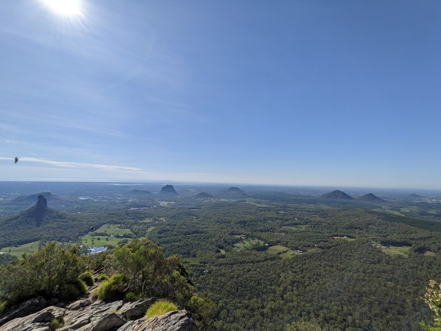
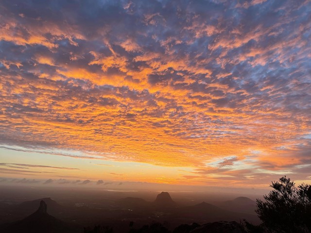
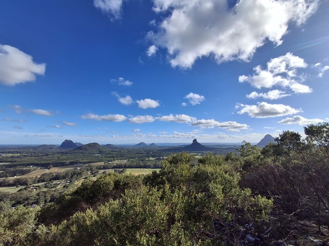
Mount Beerwah Summit
Glass House Mountains National Park
The highest of the Glasshouse Mountains, the Mt Beerwah summit walk is slightly easier than Mt Tibrogargan but still quite challenging. It has extensive views of the Sunshine Coast Hinterland and Glasshouse Mountains.
 1
km
return
15
mins
1
km
return
15
mins
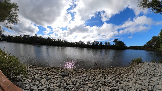
Arthur Earle park walk (Nerang River)
Gold Coast
Short smooth walk along the Nerang river to a fishing platform
 7.68
km
return
2
hrs
7.68
km
return
2
hrs
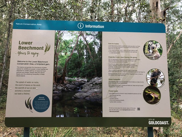
Lower Beechmont Conservation Area (Eastern Section)
South East Queensland
The trails in this area are used by horse riders, mountain bikers, bushwalkers and nature lovers. This is a rugged, natural environment and you need to be well prepared and self reliant when in the reserve. Some of the trails link with those in Nerang Conservation Park.
 3.8
km
return
90
mins
3.8
km
return
90
mins
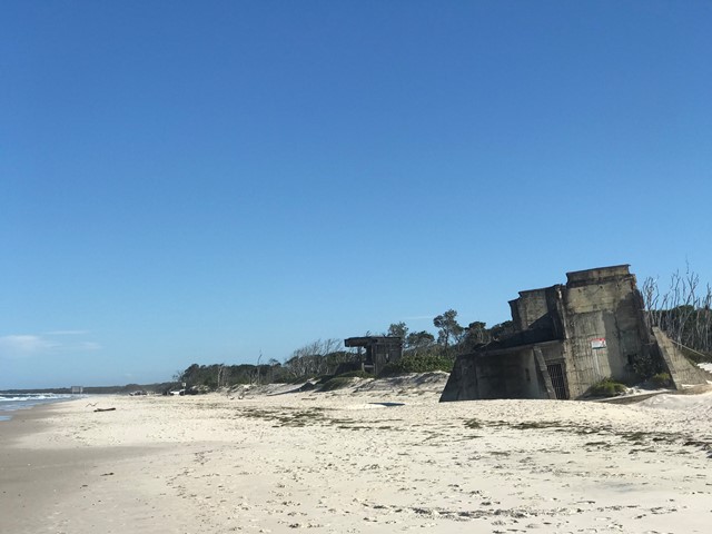
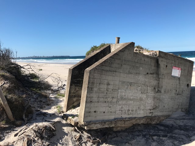
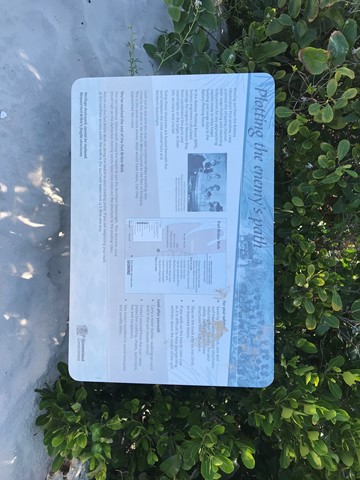
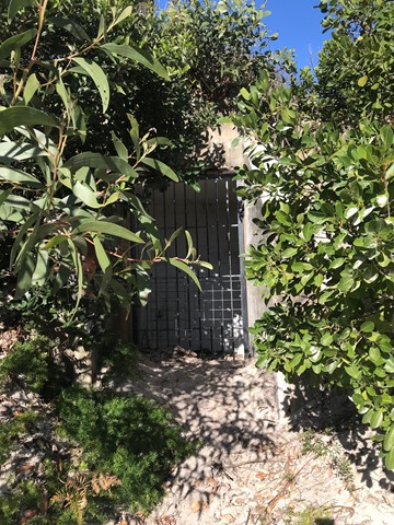
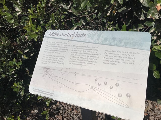
Fort Bribie Walk
South East Queensland
Take a self-guided walk through the remnants of heritage-listed Fort Bribie. See gun emplacements, mine control huts, army field camp foundations and searchlight buildings. Signs along the walk give an insight into Fort Bribie and the men and women who served here from 1941 to 1945. Track markers on the beach help to locate the walk's access points.
Bring mosquito repellent the bugs here are notoriously plentiful.
 2.8
km
return
2
hrs
2.8
km
return
2
hrs
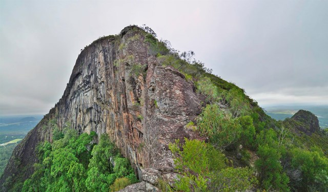
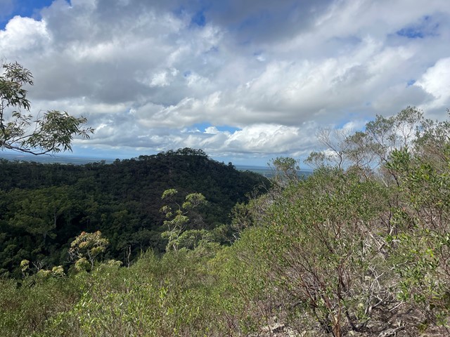
Mt Coochin (East and West Peaks)
Glass House Mountains National Park
This is a great scramble on a pretty twin peak mountain, with some outstanding views of the Glass House Mountains region to the south and the Brisbane CBD in the far distance.