
Menu
Suggested searches
Your search found 2418 results...

 4.5
km
return
4.5
km
return
 3
hrs
3
hrs
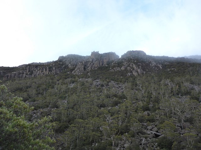
Ironstone Mountain
Tasmania
Challenging track with steep sections , scrambling over boulders and crossing the Western Creek waterfall makes for a very fun hike. Do NOT attempt this one if you are unfit, inexperienced or ill-prepared. This is for the more serious of hikers/walkers.
 8.5
km
return
2
hrs
8.5
km
return
2
hrs
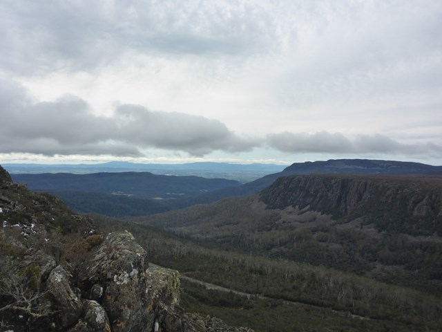
Projection Bluff
Tasmania
Short steep rough track ( little track to speak of really ) that will give you great views from the Lake Hwy about 30km (approx ) from Deloriane
 5
km
return
2
hrs
5
km
return
2
hrs
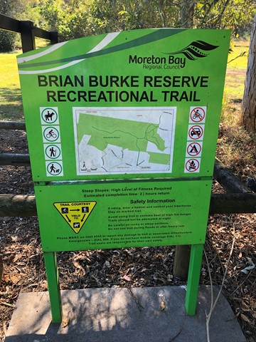
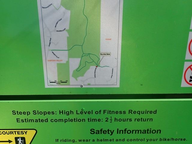
Brian Burke Reserve / House Mountain
South East Queensland
Moderate climb on well defined vehicle track. Some good views over Samford Valley toward Mt Nebo. Traverses up ridge line enjoying any breeze that's going, also making it a reasonable summer walk/climb, if there's a decent breeze. Very accessible from Brisbane.
 13
km
return
3
hrs
13
km
return
3
hrs
Legges Tor
Tasmania
Rough yet relatively easy hike to the summit of Legges Tor from Car Vila. This is rocky, boulder terrain so do wear appropriate footwear !!!!
 3
km
return
5
hrs
3
km
return
5
hrs
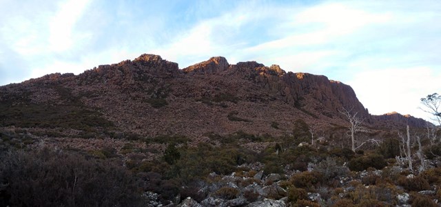
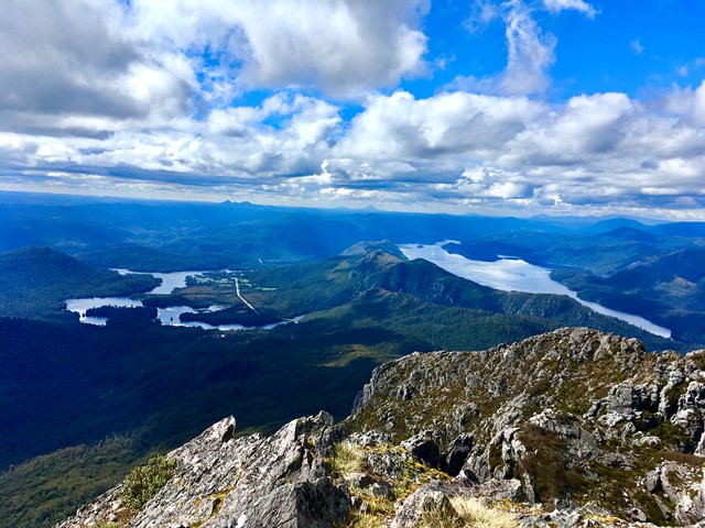
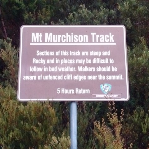
Mt Murchison
West Coast Tasmania
A steep narrow track up firstly then you hit the plateau to then finish off over the boulders to the summit
 6
km
return
4
hrs
6
km
return
4
hrs
Quamby Bluff
Tasmania
The walk starts in farmland, then passes through vegetation ranging from eucalypt forest to rainforest before finally ending up in open high altitude scrub. This involves scrambling over boulders again but it's not really that steep.Track can be at times tricky to follow so take note of pink ribbons and red markers ( yellow markers on descend )
 2
km
return
30
mins
2
km
return
30
mins
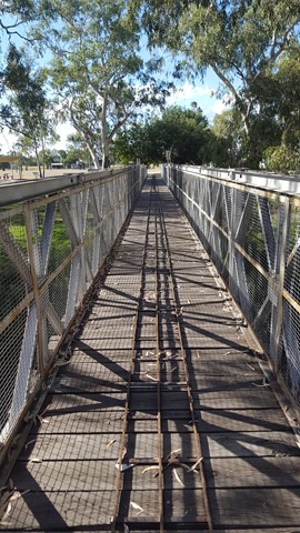
Yugar Rail Trail
South East Queensland
This track is part of the disused rail line which went from Ferny Grove to Dayboro. Ends at Yugar rail tunnel. Memorial stone with info on top of tunnel.
 1
hr
1
hr
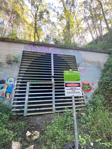
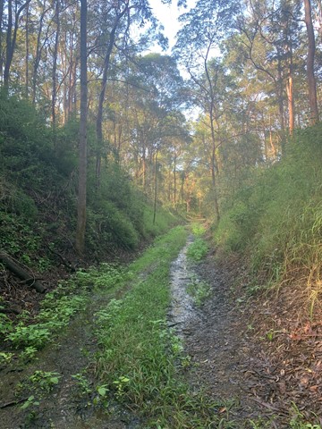
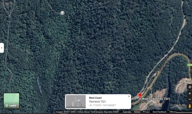
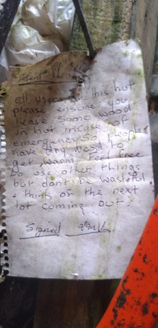
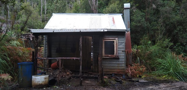
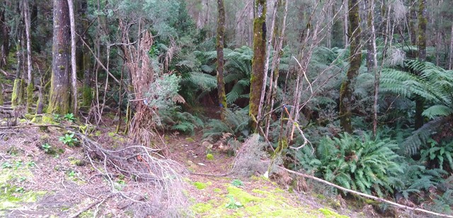
Tullah Miners Hut
West Coast Tasmania
A relatively short ( 1hr return ) walk through one of the local state forest to a historic hut in the forest.
 4.2
km
return
90
mins
4.2
km
return
90
mins
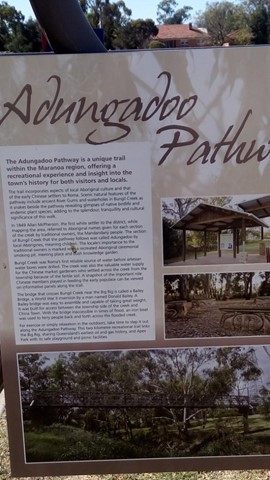
Adungadoo Pathway
Darling Downs South West
Follow the peaceful waters of Bungil Creek. Ancient River Red Gums are a beautiful feature of this walk, while the watercourse is a must for bird watchers. Take a small detour on route to see the largest Queensland Bottle Tree.
 10
km
one-way
3
hrs
10
km
one-way
3
hrs
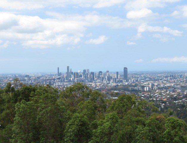
Gap Creek to Mt Coot-tha Botanic Gardens
Mt. Coot-tha
This walk will use several tracks in the Mount Coot-tha area to take you from Gap Creek to Mt Coot-tha Botanic Gardens