
Menu
Suggested searches
Your search found 2418 results...

 3.5
km
return
3.5
km
return
 45
mins
45
mins
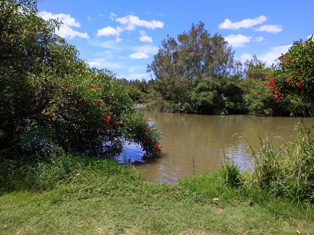
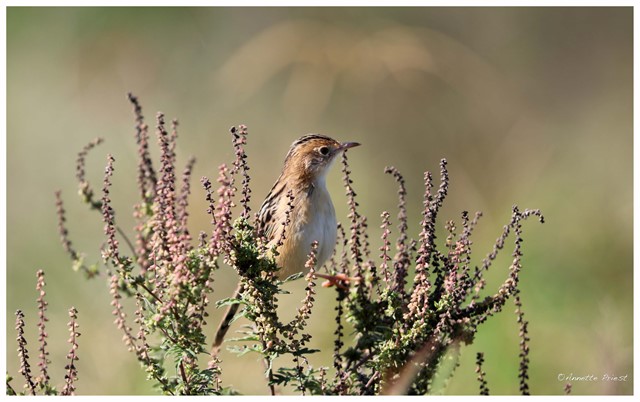
Oxley Creek Common-Pelican Island Walk
South East Queensland
A serene patch of bird-inhabited wetland in the midst of an agricultural and industrial area, Oxley Creek Common has a couple of easy paved walking trails and picnic amenities for the visitor.
One trail leads from the picnic area and themed info and amenity block Red Shed and splits into two before ending at two different bird habitats. For those keen to spot some of the 180 plus species of bird that inhabit this space, the best times to walk are at dawn and dusk though ornithological tendencies are not required to enjoy these walks.
 1.6
km
return
20
mins
1.6
km
return
20
mins
Carole Green Walkway
South East Queensland
A short walk through a variety of vegetation types which leads to the Pine River
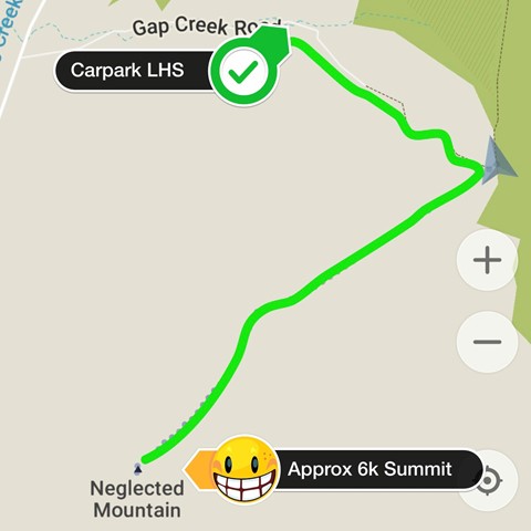
 10
km
return
5
hrs
10
km
return
5
hrs
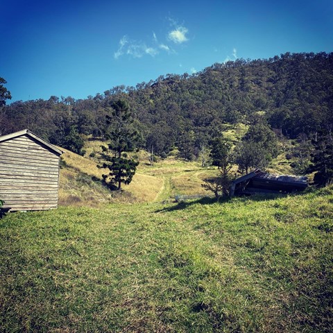
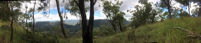
Neglected Mountain
Lamington National Park
Neglected Mountain lives up to it's name which is a shame because the walk provides excellent views from the top.
 11
km
return
3
hrs
11
km
return
3
hrs
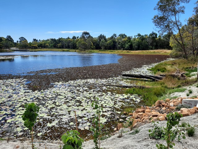
Sergeant Dan Stiller Memorial Reserve
South East Queensland
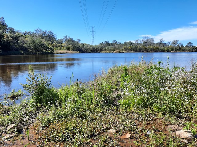
This reserve runs along Oxley Creek. The series of freshwater lakes in Dan Stiller Reserve are the result of sand mining which has now ceased. This memorial park is named after Sergeant Dan Stiller who was killed by a car accident on duty. The southern section of the reserve is well known for its diverse range of bird species in the area. Note after heavy rain some sections may be closed due to flooding.
 1
km
return
30
mins
1
km
return
30
mins
Brush Turkey Track
New South Wales
An easy walk through dry rainforest in Woko National Park.
 4
km
return
2
hrs
4
km
return
2
hrs
Cliff Face Track
New South Wales
A strenuous walk which takes you past the bottom of the cliff face. The track begins with dry rainforest, but changes to eucalypt when you reach the top.
4.5
km
return
2
hrs
Sharpes Creek Track
Barrington Tops National Park
A walk through rainforest in the eastern section of Barrington Tops National Park from the Gloucester River Camping Area to the top of the hill and back via the road.
2.5
km
return
1
hr
Gloucester River Track
Barrington Tops National Park
A track following the eastern side of the Gloucester River through dry rain forest.
 2.5
km
return
90
mins
2.5
km
return
90
mins
Antarctic Beech Track
Barrington Tops National Park
A loop track that passes through large stands of Antarctic Beech and fern filled gullies.
1.5
km
return
1
hr
Gloucester Falls Walk
Barrington Tops National Park
A loop track in the Gloucester Tops section of Barrington National Park that takes you to a lookout over the Gloucester Falls.