
Menu
Suggested searches
Your search found 2418 results...

 400
m
return
400
m
return
 30
mins
30
mins
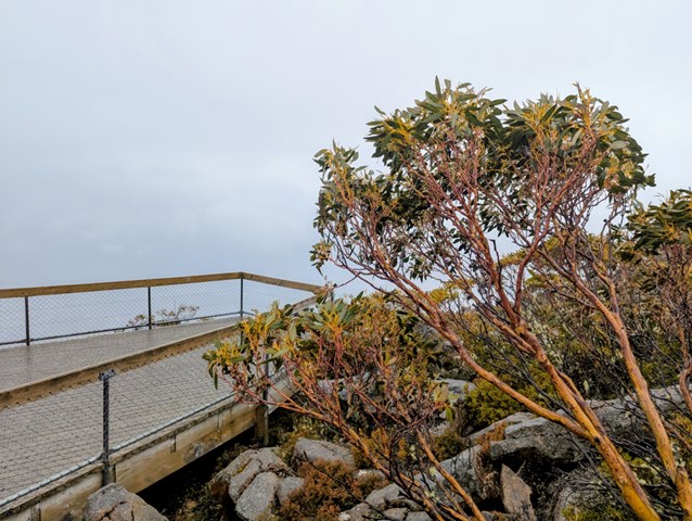
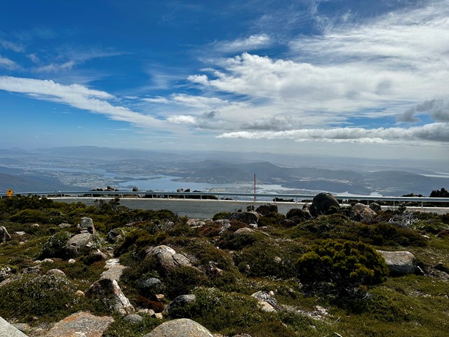
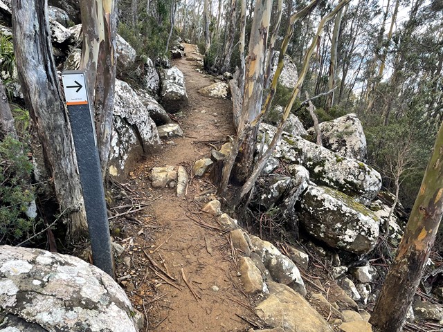
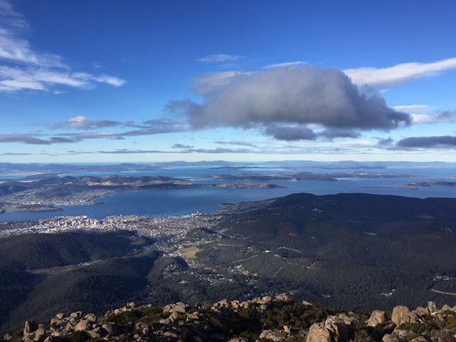
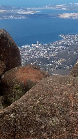
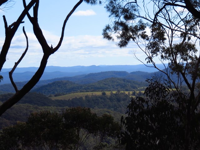
Mt Wellington - Summit Lookouts
Wellington Park
At 1,270m, Mt. Wellington provides absolutely stunning views of Hobart and the surrounding area, the Derwent Estuary, Storm Bay and beyond.
 13.3
km
one-way
4.5
hrs
13.3
km
one-way
4.5
hrs
Teralba to Charlestown Park (GNW)
New South Wales
This section of the Great North Walk starts from the Teralba train station and winds down and around the edge of Lake Macquarie. The walk passes through the Cockle reserve, and continues to Warners bay and up along the roads, before cutting through the bush to Charlestown, where it winds around the golf course and finishes at the Charlestown Park track head.
 4
km
one-way
90
mins
4
km
one-way
90
mins
Lockyers Road Walking Track
New South Wales
Excellent quality singletrack following out along a ridgeline on an original hand carved convict labour track that was one of the first attempts at crossing the Blue Mountains.
 8
km
one-way
3.25
hrs
8
km
one-way
3.25
hrs
Charlestown to Merewether (GNW)
New South Wales
Starting from a small park in Charlestown you will follow the Great North Walk through a few reserves and along a Burwood Beach, past the heads to Merewether Beach. Exploring bush around Glenrock lagoon on the Yuelarbah Track, including the Leichhardt’s Lookout are highlights. From this lookout the track leads down past the edge of the lagoon then along the sandy beach, past Merewether ocean pools. This walk describes a side trip to the scout campsite beside the lagoon for those who have organised to camp there.
 11.5
km
return
4.5
hrs
11.5
km
return
4.5
hrs
The Cream Track
Springbrook National Park
The Cream Track is the name given to a track from the Tallebudgera Valley, up to the Springbrook Plateau, following a route that early dairy farmers used to get their product down to the coast. It is a challenging track, because of its gradient, and especially challenging after rain.
 13
km
one-way
6
hrs
13
km
one-way
6
hrs
Basin Campsite to Watagan Valley (GNW)
New South Wales
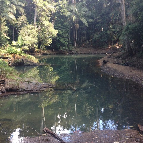
This varied walk travels north through the Watagans. Leaving the Basin campsite behind, the walk traverses the Wollombi Brook via the Lyrebird trail. The Wollombi Brook Pool is a great spot to stop (and take a swim) on a hot day. From the pool, the walk climbs into the Warrawolong Flora Reserve using a combination of bush tracks and dirt roads. Along the way, a side trip to Mt Warrawolong offers views on the way to the highest point in the area. This walk finishes by descending into the beautiful Watagan Valley.
 29
km
one-way
6
hrs
29
km
one-way
6
hrs
Conondale Great Walk Southern Cct
Conondale National Park
The walk traverses the Bundaroo and Booloumba Creeks Catchments, mostly following the Connondale Great Walk but utilises cross tracks to truncate the walk.. The lowest point on the walk is the Bundaroo Creek Crossing
 6
km
one-way
2.5
hrs
6
km
one-way
2.5
hrs
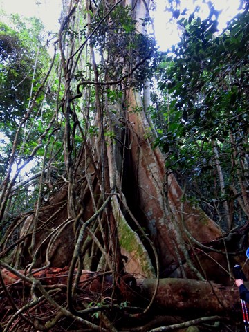
Somersby Store to Ourimbah Valley (GNW)
New South Wales
Starting with a walk through the streets of urban Somerbsy, you soon leave the farms and head into Palm Grove Nature Reserve. First you will follow the signposted track down the open dry ridge to the dense rainforest. In this valley you can explores the moist rainforest with towering Eucalypts, Strangler Fig trees, Cabbage Palms and a tangle of vines. From here walk up the rocky track to another dry ridge, where you can follow a side trip to a flat clearing and designated campsite. From near the campsite the track winds down through another moist forest and past more Cabbage Palms before coming to the signposted Ourimbah Valley Trackhead on Ourimbah Creek Road.
 15
km
one-way
5.5
hrs
15
km
one-way
5.5
hrs
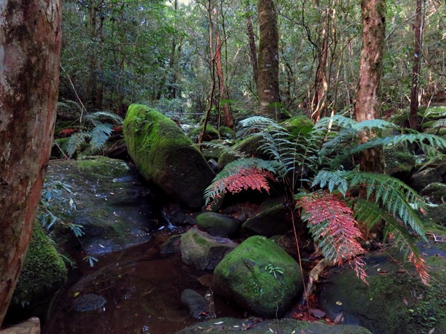
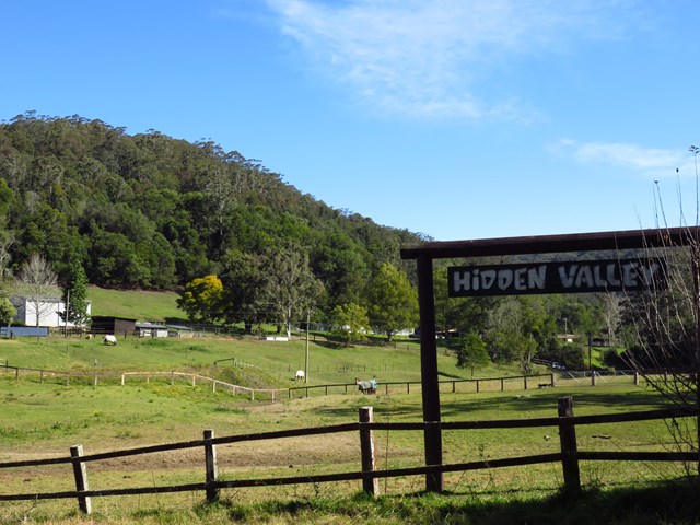
Ourimbah Valley Trackhead to Greta Road (GNW)
New South Wales
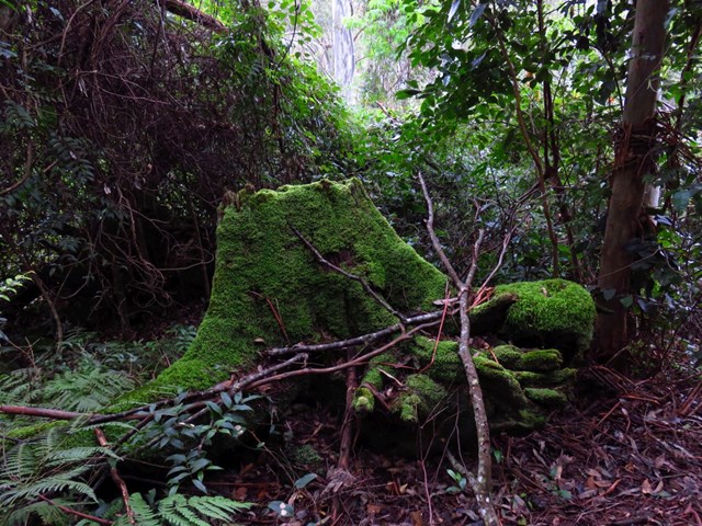
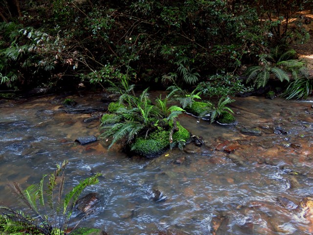
This pleasant walk explores the rural valleys and a beautiful section of Jilliby State Conservation Area. Starting at Ourimbah Valley Trackhead you walk into Hidden valley along the dirt road, to then follow a trail beside Ourimbah Creek to Stringy Bark Point. This is a pleasant mossy area with many ferns and near a wide sandy section of Ourimbah Creek. A bit further on you cross Ourimbah Creek then walk up the ridge to the dirt Tooheys Road. After turning off the old Tooheys Rd the Great North Walk leads along a narrow track and across the mossy and delightful Dead Horse Creek. The track then meanders through a heath and scribbly gum forest to Cherry Lane. After about a 1.5km road slog this walk leads you
to a GNW trackhead on Great Rd.
 1.2
km
return
30
mins
1.2
km
return
30
mins
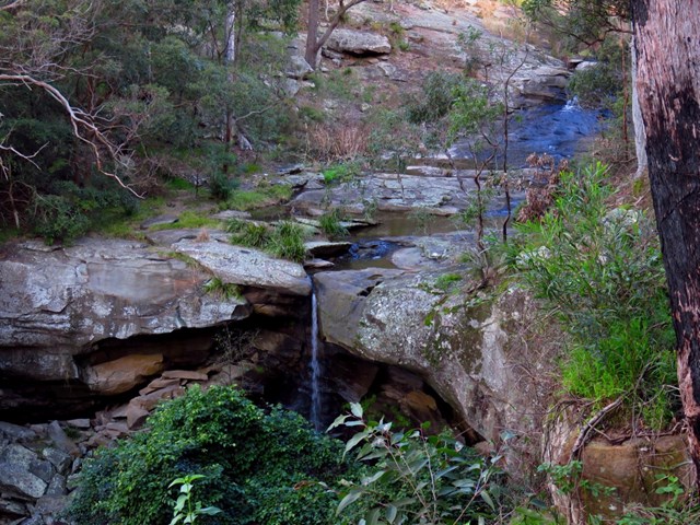
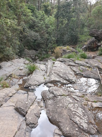
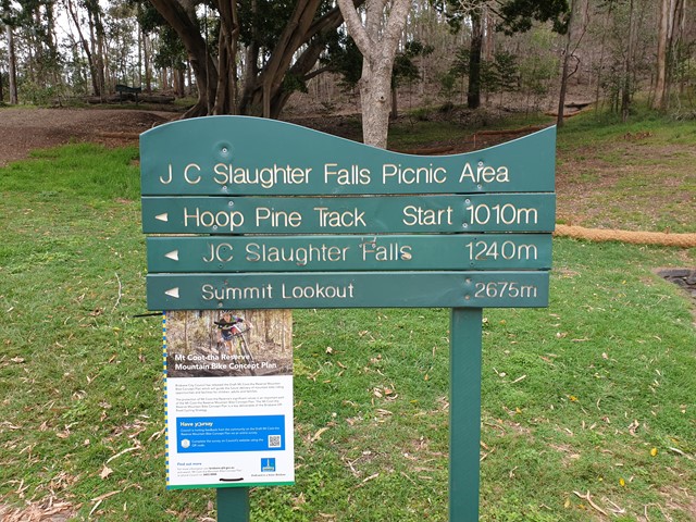
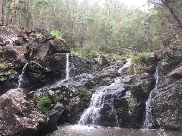
JC Slaughter Falls
Mt. Coot-tha
The walk begins at the far end of the JC Slaughter Falls Picnic area and follows for about 600m way one. Only about 200m on the walk has a steep rocky incline but it isn't very difficult. The falls are non-existent unless there has been some rain.