
Menu
Suggested searches
Your search found 2445 results...

 5
km
5
km
 90
mins
90
mins
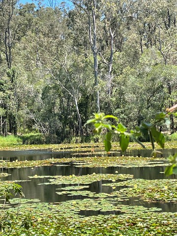
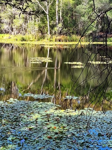
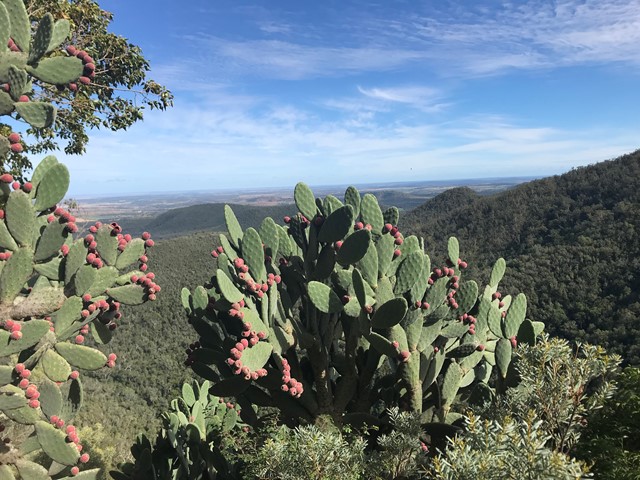
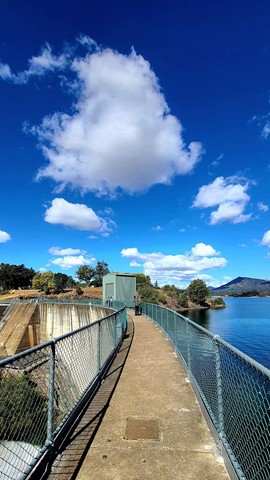
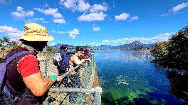
Araucaria Track
Brisbane Forest park D'Aguilar National Park
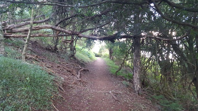
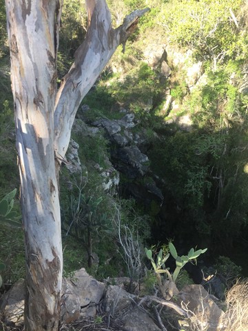
This walk begins off downhill, soon there are some views of the reservoir then the track begins to wind its way along the edge of the reservoir keep an eye out for different water birds.
I would advise taking you camera equipment as well as a pair of binoculars for some good bird watching. After approx 1.7km you come to a Y junction go straight ahead and some more views of the Enoggera weir come into sight. There seems to be alot of bellbirds and a few whipbirds around here.
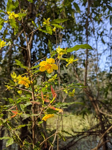
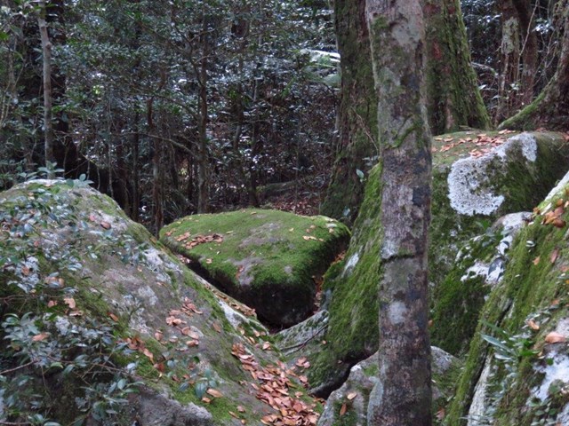
From here the track winds into some bush some small reminent of rainforest. And from here it gets a bit "are we there, yet" but keep on going up and over the ridge and back down again and you rejoin back at the Y junction.
Now the return route can be a little problem if you leave it late to do this walk because on your return from the Y junction. You will meet alot of people along the way.
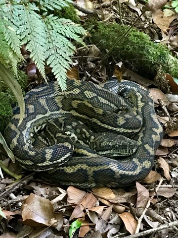
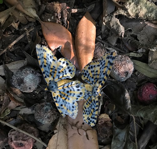
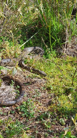
Some signs have been errected "brown snakes" in the area. So watch your step when walking around the exposed hot ridge areas.
Also this track can be combined with the Corymbia Circuit to add a bit of distance for you walk.
 1.5
km
30
mins
1.5
km
30
mins
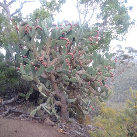
Corymbia Circuit
Brisbane Forest park D'Aguilar National Park
A small walk in a cool area before going on to the Araucaria Track
 5
km
return
90
mins
5
km
return
90
mins
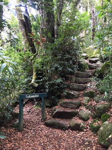
Tullawallal Circuit
Lamington National Park
This track leads through the rainforest to the summit of Tullawallal at over 950m. Also this track leads to the closest stand of Antarctic beech trees to Binna Burra. The rock formation at the end is a natural wonder that will have you guessing! Can be completed as a loop with the Border Track.
 2.3
km
return
1
hr
2.3
km
return
1
hr
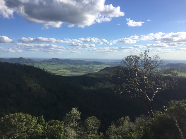
Mount Kiangarow
Bunya Mountains
This track leads to the highest point of the Bunya Mountains: Mt Kiangarow (1,135m). The track climbs 132m over 1.4km, gradually winding around the mountain and leading through an avenue of grasstrees at the crest lookout. An excellent spot to view the sunset.
Officially rated Grade 3/Medium (uneven track surface + steady, gentle incline), this is relatively gentle walk that would be suitable for most ages/fitness levels.
 6
km
one-way
2
hrs
6
km
one-way
2
hrs
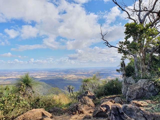
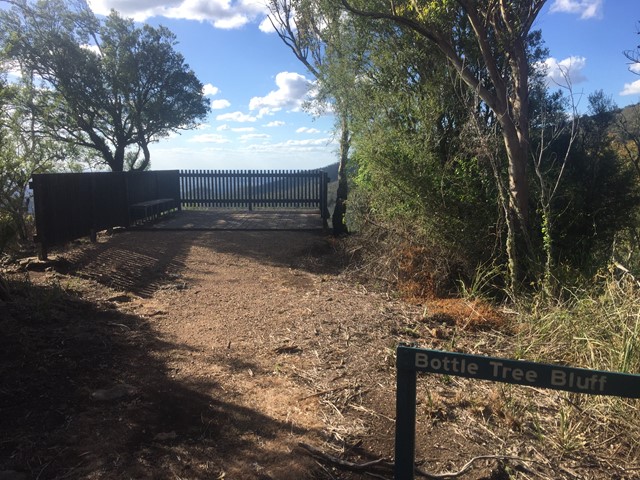
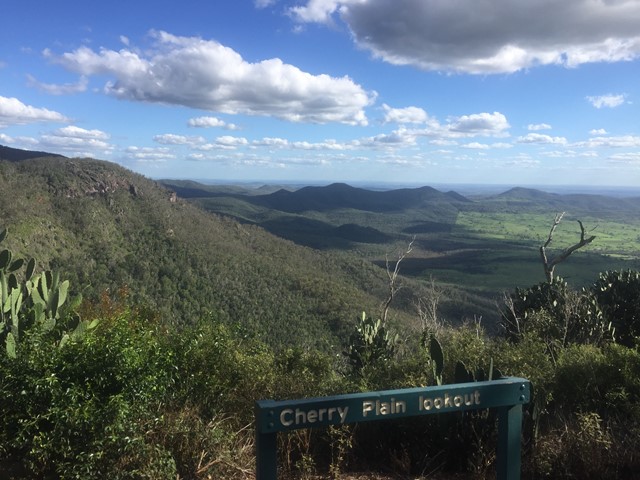
Cherry Plain to Burtons Well
Bunya Mountains
This walk takes you along the Western Side of Bunya Mountains, passing three lookouts with views over the plains. Vegetation is dryer towards the the cliffs, with vine forests closer to the road. The path gradually ascends as you follow it in this direction. An easier walk may be to start sat Burtons Well.
 4
km
return
90
mins
4
km
return
90
mins
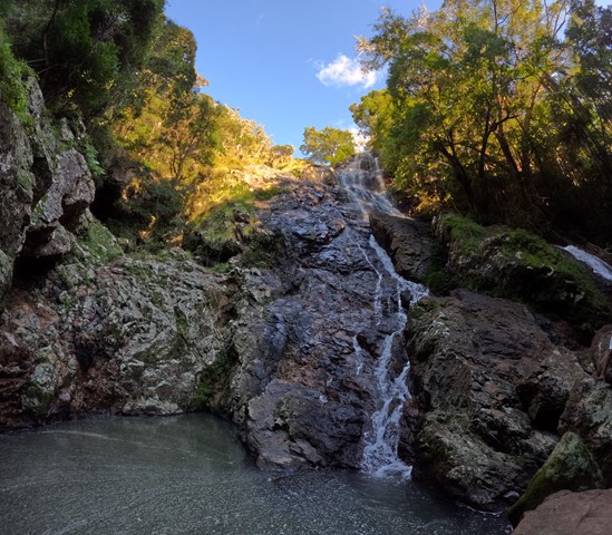
Ghinghion Lookout
Bunya Mountains
From Burtons Well track heads down to the cliff side where there is a lookout above a non-perennial waterfall.
 1.2
km
return
45
mins
1.2
km
return
45
mins
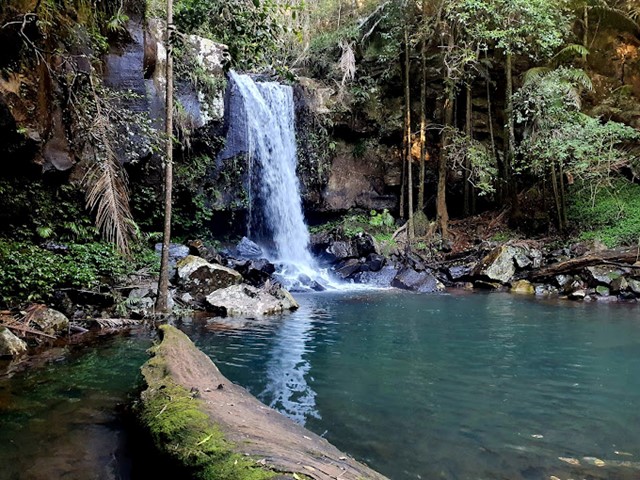
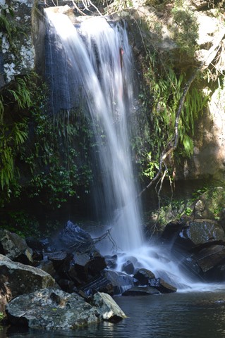
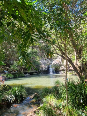
Curtis Falls
Tamborine National Park
This enchanting walk begins in wet eucalypt forest beneath towering flooded gums. Notice a drop in temperature as the wet eucalypt forest merges into lush rainforest. Beautiful crows nest and staghorn ferns can be seen in the canopy above. The rock pool and surrounding basalt rock face provide important glow-worm and platypus habitat.
 6
km
return
3
hrs
6
km
return
3
hrs
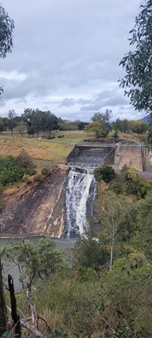
Mount Edwards
Moogerah Peaks National Park
This hiking track takes you to the summit of Mt Edwards, the taller, conical-shaped peak beside Moogerah Dam. This trail crosses the dam wall then leads to the top the mountain with an elevation gain of almost 500m to really get your heart pumping. There is a lookout part-way up the track with views of Little Mt Edwards/Reynolds Creek below the dam wall, while the lookout at the summit faces north-east towards Brisbane and the Fassifern Valley.
Officially listed as Grade 5/Very Hard difficulty (unsigned trail, loose/rocky surface, some tree falls/overgrown sections + steep incline), this trail is suitable for walkers with a moderate-high fitness level who are confident and well prepared (wear appropriate shoes, take plenty of water etc.).
 1.7
km
return
45
mins
1.7
km
return
45
mins
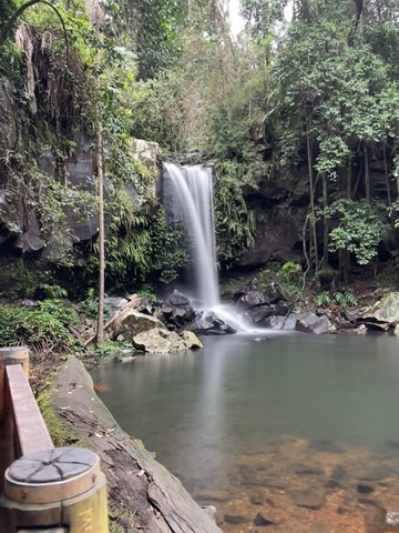
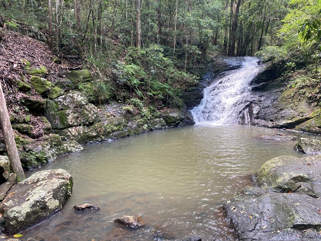
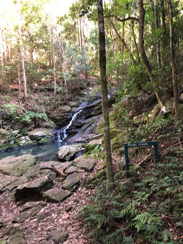
Picnic Creek Circuit
Kondalilla National Park
This easy walk crosses Picnic Creek, passes through tall eucalypt forest and patches of wet sclerophyll (a mix of eucalypt and rainforest species). Enjoy views over the valley from a lookout point.
 4.7
km
2
hrs
4.7
km
2
hrs
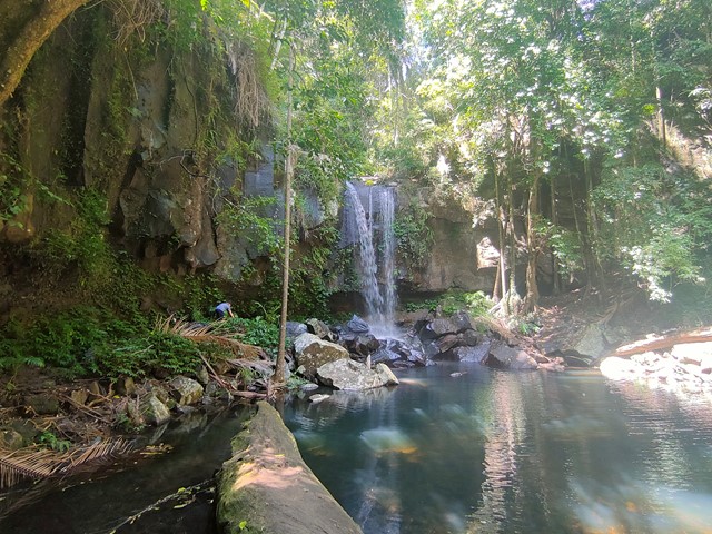
Kondalilla Falls Circuit
Kondalilla National Park
Kondalilla Falls (80m) is one of the most spectacular and accessible falls on the Sunshine Coast Hinterland. The walk down to the falls is 'family friendly' with some rock stairs and a maintained path. Great views of the rainforest valley from the natural rock pools at the top. You can swim in the rock pools at both the top and bottom of the falls.