
Menu
Suggested searches
Your search found 2400 results...

 1.4
km
return
1.4
km
return
 30
mins
30
mins
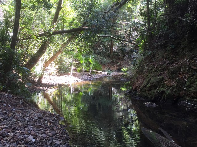
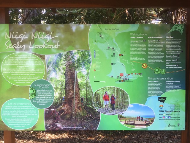
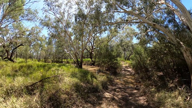
Rainforest Walking Track (Orara East State Forest)
New South Wales
Loop walk through rainforest and along a creek. A few options to extend the walk with additional loops.
 8
km
one-way
2
hrs
8
km
one-way
2
hrs
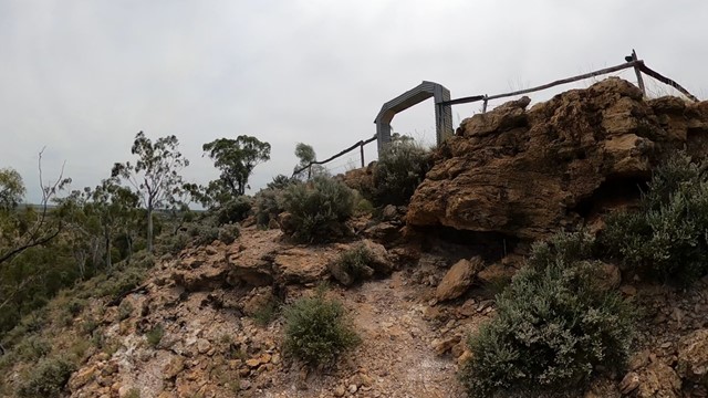
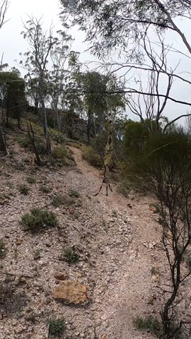
South Bald Rock RBC via the Stone Cottage
Girraween National Park
Approximately 8km walk from the stone gate, and then via the old stone cottage to South Bald Rock remote bush camp (yes, there's a "camp"). This walk takes you East along some lovely grassy flat land and around a few rocky outcrops before travelling clockwise around the Northern edge of West Bald Rock, then South, counter-clockwise around Middle Bald Rock, before finally descending into a semi-swampy valley on the Western edge of South Bald Rock. Around the rocky areas there's some ups and downs but easily achievable for someone of moderate fitness and ability. There's a lone "no fires" sign installed indicating the general camp area. Pick your camp site well, as with just a reasonable shower of rain the water only goes downhill. Wouldn't recommend this location during heavy storms or heavy rains, as rising creeks could be hard to predict for beginners.
6
km
return
90
mins
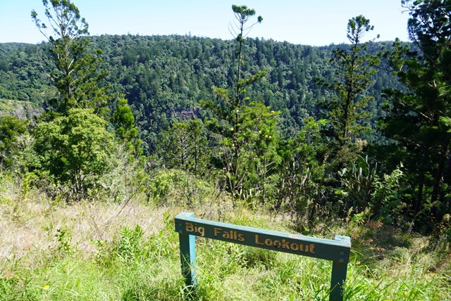
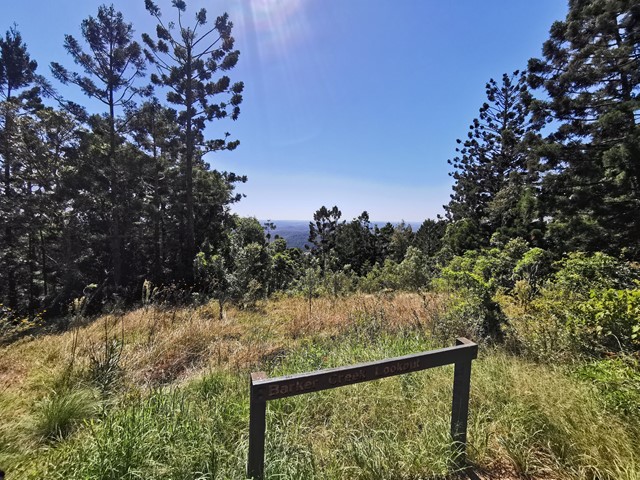
Big Falls & Barker Creek Lookout
Bunya Mountains
6.09km Return from the Paradise Carpark (Along the Barker Creek Circuit track)
 5
km
return
5
km
return
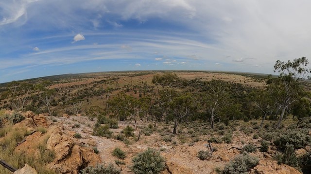
Isisford Walking Track
Central Queensland
A decent flat walk among the ghost gum, following along the river.
 2
km
return
45
mins
2
km
return
45
mins
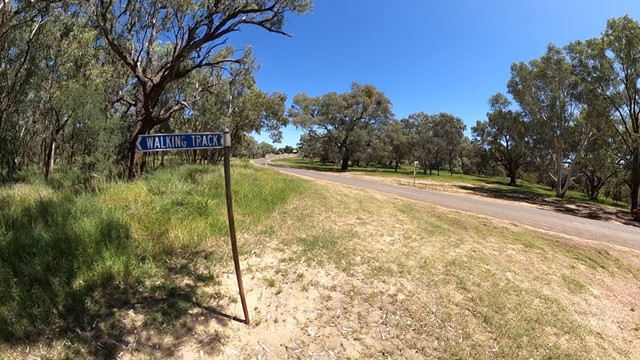
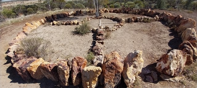
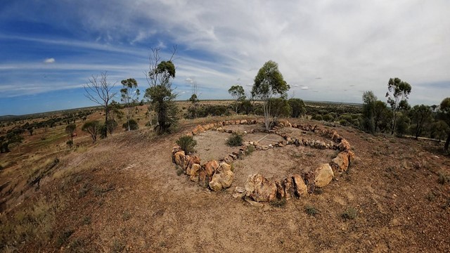
Healing Circle White Station
Central Queensland
Short walk to healing circle
 13
km
one-way
3.5
hrs
13
km
one-way
3.5
hrs
Kangaroo Island Wilderness Trail - Grassdale Day 4
Flinders Chase National Park
From the access track near the campsite the trail returns to the coastal cliffs, walking past Cape Younghusband before heading inland. This section is through cooler mallee and tea trees, and is across private property as it sneaks past the million-dollar South Ocean Lodge.Take an optional short sidetrip to be rewarded with views of the idyllic Hanson Bay Beach.
17.5
km
one-way
4.5
hrs
Kangaroo Island Widlerness Trail - Sanderson Section - Day 3
Flinders Chase National Park
The trail initially heads inland, through taller shady tea trees, before heading out to Remarkable Rocks. The granite boulders appear as seemingly artistic sculptures scattered across a larger granite dome. Returning to the main trail as it heads east, remember to look back to see Remarkable Rocks from any angle no-one else sees it from, as it disappear from view on the horizon. Entering the large Sanderson Bay, you will walk along the cliffs before heading inland, into the shade and away from the winds. Nearing the campsite, there is a short sidetrip down to Sanderson Bay, which if you can play it safe makes a rewarding swim.
18.6
km
one-way
4
hrs
Kangaroo Island Wilderness Trail - Rocky River - with new start point - Day 1
Flinders Chase National Park
The first day’s hike starts from the the new Flinders Chase Visitor Centre, walking 6km before intersecting with the Platypus Waterholes Walk over Black Swamp, with its ancient history of megafauna, and around the Platypus Waterholes. If you’re there early in the morning sit and wait to catch a glimpse of the shy platypus at one of the eight viewing platforms. Turning west, the trail follows the Rocky River Hike along Rocky River. Pause for a moment at the rapids and rockpools along the way, and keep an eye out for wildlife coming into the water to drink.
5.1
km
one-way
90
mins
Hallett Cove Boardwalk (Marion Coastal Walking Trail)
South Australia
A clifftop boardwalk along the rocky coastline between Marino and Hallett Cove. Experience the unique environment along this section of Adelaide’s coastline, with rugged cliffs and rocky reef platforms. The trail follows the cliff edge, descending down numerous gullies. The trail consists of boardwalk, steps (lots) and pathways.
The walk is a good option as a regular route to keep fit, as there are numerous sets of stairs descending and ascending the numerous steep gullies which cut through the cliffs.
 1.7
km
return
45
mins
1.7
km
return
45
mins
First Falls Walk
South Australia
Follow Fourth Creek to the heart of Morialta Gorge, on the valley floor along a stroller accessible trail.
During summer the creek is dry. After autumn and winter rains, water tumbles thirty metres from the top of Morialta’s best known landmark, First Falls.
The hike begins from the top carpark, or you can commence from the lower carpark on Stradbroke Road.