
Menu
Suggested searches
Your search found 2398 results...

 3
km
return
3
km
return
 1
hr
1
hr
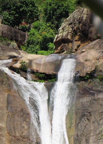
Jourama Falls
Paluma Range National Park
Jourama Falls is located within Paluma Range National Park. The 3km return trail follows a path along Waterview Creek, with plenty of fresh water swimming holes along the way.
 7.2
km
return
2
hrs
7.2
km
return
2
hrs
Freshwater & Lagoon Trails
Pallarenda Conservation Park
The Freshwater and Lagoon trails form a 7.2 km circuit around the coastal wetlands of the Town Common Conservation Park. This is a beautiful area to explore, full of birdlife, great photo opportunities and so close to the city of Townsville
 5
km
return
80
mins
5
km
return
80
mins
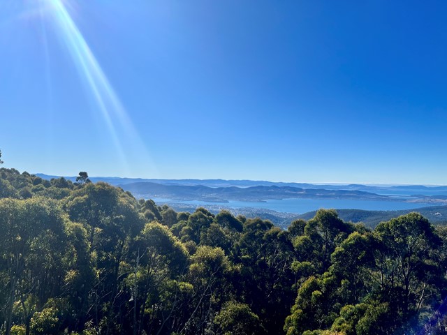
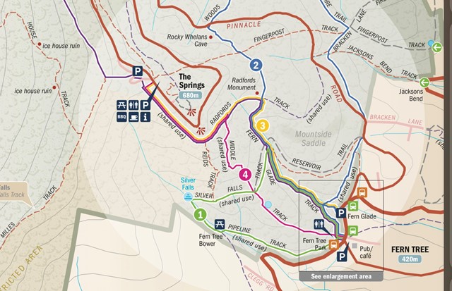
The Springs
Wellington Park
The Springs is about half way up Mt Wellington. You can walk or drive up and there are picnic areas as well as a coffee shop. There’s a great short loop (about 5 minutes) out to The Springs Lookout that has terrific views over Hobart and surrounds.
 17
km
return
5
hrs
17
km
return
5
hrs
Labillardiere Peninsula Track
Bruny Island
Walk description is for completing the circuit clockwise.
Beautiful walk that starts along a firetrail, beside seaside cliffs and rocky beaches up to the summit of Mount Bleak. Afterwards the track walks along multiple white sand beaches and a narrower track through bushland
5
km
return
2.5
hrs
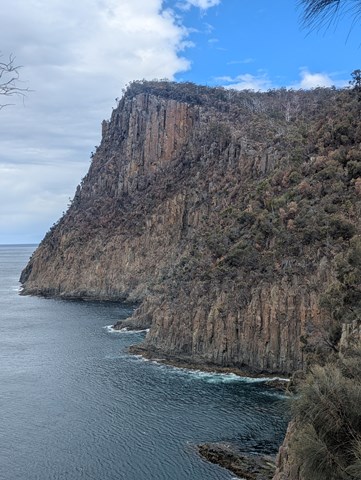
Fluted Cape Track
Bruny Island
Stunning seaside walk along steep sea cliffs
 3
km
return
45
mins
3
km
return
45
mins
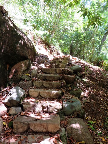
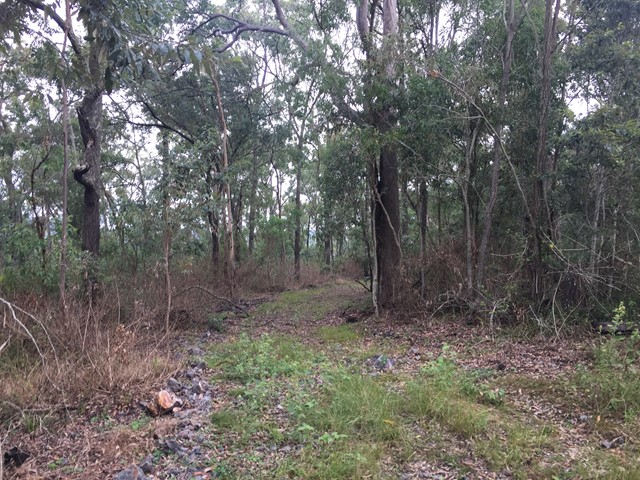
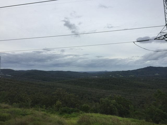
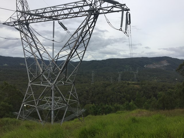
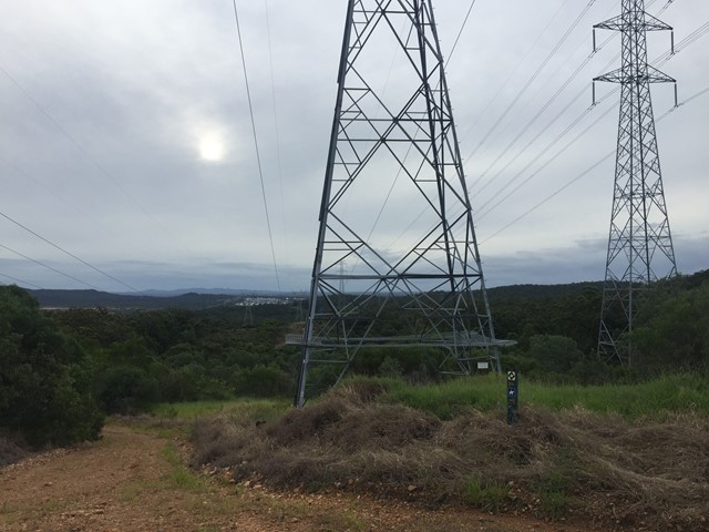
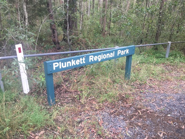
Wickham National Park High Point
South East Queensland
A walk from the end of Flesser Road through Plunkett Conservation Park and into Wickham National Park and to the highest point in the National Park.
 7.5
km
return
87
mins
7.5
km
return
87
mins
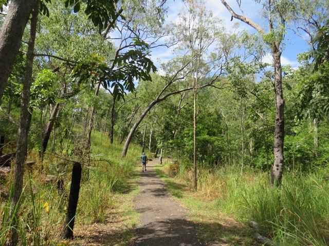
Hartleys Creek Falls
Far North Queensland
A 7.5 km out and back hike with some undulations .
8
km
return
2.5
hrs
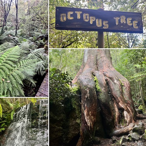
Sphinx Rock and The Octopus Tree
Wellington Park
Start this hike from Fern Tree. It’s a wonderful, damp and luminous green hike through rainforest and skirting around some of Mt Wellington to provide impressive views from Sphinx Lookout. On the way back, take a look at The Octopus Tree!

Pine Gorge and the ‘Shower Room’ (Lower Mcgrory Falls)
Bunya Mountains
Please note that this is not a formed walking trail, is located in a reasonably remote location and that a degree of navigation skills are advised. The walk is best started from the end of the old log haulage road off of Saddle Tree Creek Road (-26.8636213, 151.6332056). From the small dirt patch at the end of the log road near Saddle Tree Creek (enough for a couple of cars to park), follow the main eroded creek bed. There is lantana and fallen trees in this lower section of creek, so a good degree of care should be taken. Using the usually dry creek bed to navigate, you will come to a fork at approximately -26.8663406, 151.6258194. Take the branch to the right, following the creek bed. The vegetation will gradually change from dry eucalyptus scrub and ‘balds’ to wet scrub as you ascend along the creek. If correctly followed, the Saddle Tree Creek bed should gradually begin to contain small permanent pools (even in drier weather). In normal conditions, at this stage the creek will begin to contain running surface water. Bunya Pines with the centuries old characteristic cut out ‘foot holds’ from Aboriginal visitors can be spotted as the only sign of human disturbance. Towards the end there are some small waterfalls that will need to be carefully scaled. The walk will end in a narrow gorge at approximately -26.8752181, 151.6039648, with a fairly impressive waterfall (except during very dry times) giving the illusion of a shower cubicle.