
Menu
Suggested searches
Your search found 2398 results...

 3.7
km
return
3.7
km
return
 90
mins
90
mins
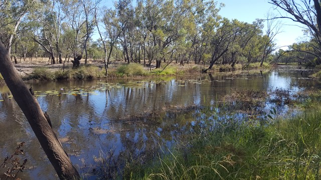
Surat Riverwalk
Darling Downs South West
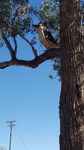
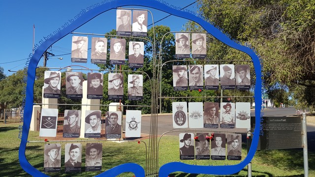
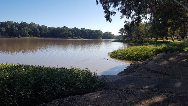
There is a park on the banks of the Balonne River which is a pleasant spot for a picnic. It is part of a walk along the Balonne River which includes footbridges, viewing platforms, Memorial Garden and a weir. There is an Aboriginal interpretative shelter which tells the story of local Aboriginal families and with any river bank environment out west, it is home to some impressive birdlife.
 17
km
return
6
hrs
17
km
return
6
hrs
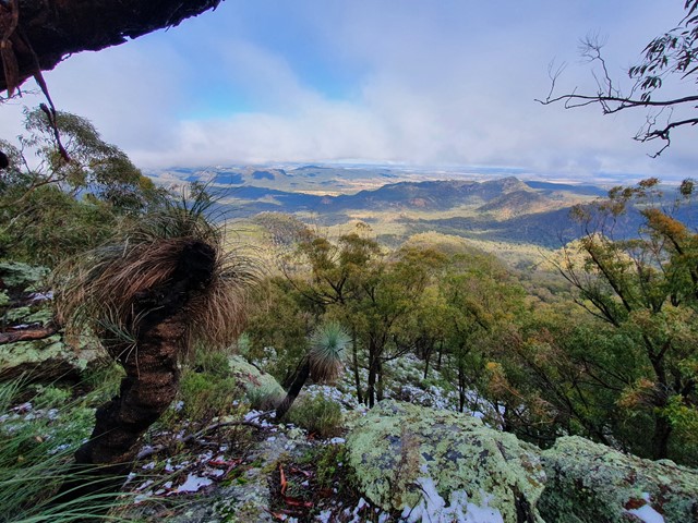
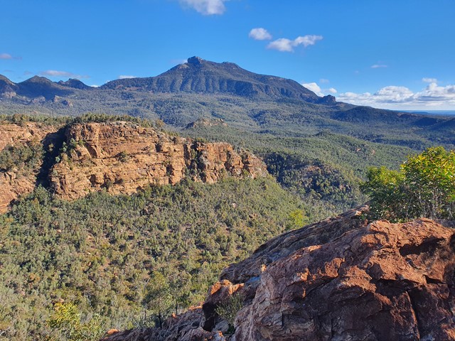
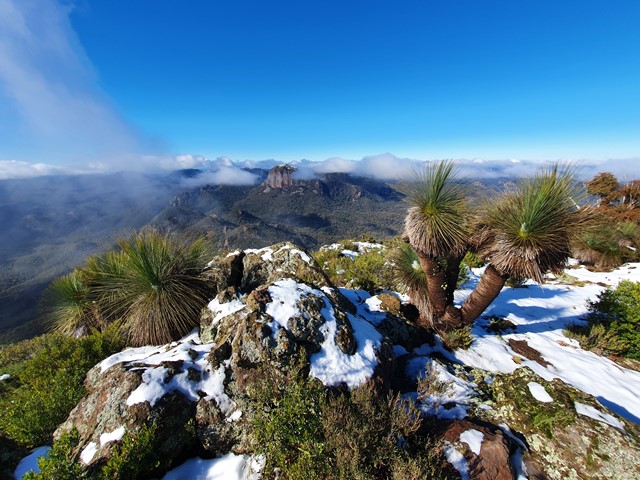
Mt Exmouth
Warrumbungle National Park
At 1,206 meters, Mt Exmouth is the tallest mountain in the Warrumbungles. Follow a well marked trail to the summit for excellent 360 degree views.
 1
km
return
30
mins
1
km
return
30
mins
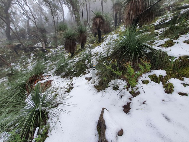
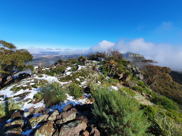
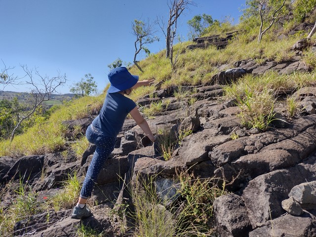
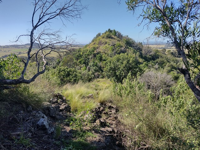
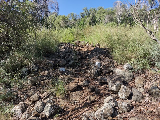
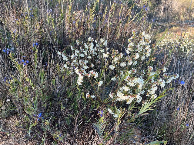
Mt Basalt
Darling Downs South West
This unique geological and environmental area features rare volcanic formations and a few walking tracks that including rock-scrambling and lookouts with spectacular views.
Note: Officially listed as Grade 4/Hard (steep incline + scrambling + loose surface), this trail can still be a fun adventure for the whole family - please take caution near cliff-edges and wear suitable footwear.
 1
km
return
30
mins
1
km
return
30
mins
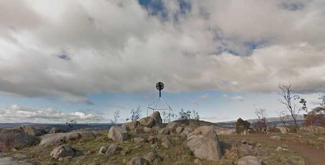
Mount Arawang
Australian Capital Territory
Mount Arawang Summit Walk is part of the Cooleman Ridge Nature Reserve and is a park of the mountains, hills and Ridges surrounding Canberra.
 5.3
km
return
2
hrs
5.3
km
return
2
hrs
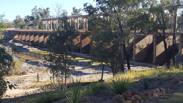
Riverbank Walkway
Darling Downs South West
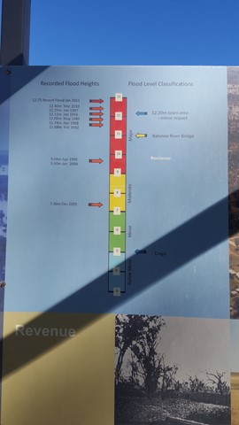
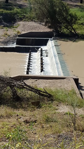
Car weary legs will appreciate this stretch of shady riverbank walkway flanking the town. A star feature, the Riverbank Walkway includes the Jack Taylor Weir and Andrew Nixon Bridge at the far end, with its commemorative stone to mark Sir Thomas Mitchell’s crossing of the Balonne River on St George’s Day back in 1846. Along the riverbank walkway, markers showcases the flood heights and history of the swollen Balonne River from years gone by.
 3.5
km
return
45
mins
3.5
km
return
45
mins
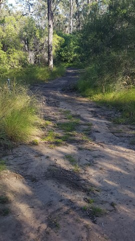
Cormorant Bay Loop (Wivenhoe Dam)
South East Queensland
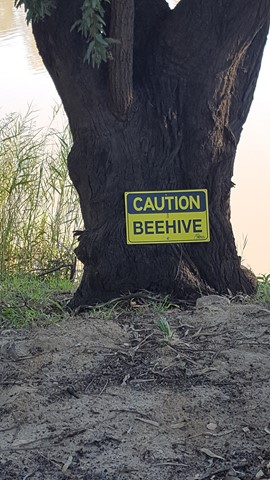
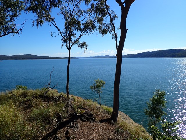
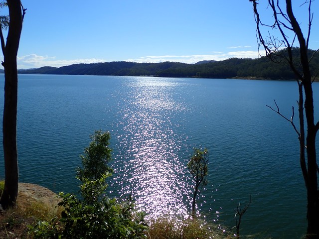
A 3.5km circuit commencing at a locked gate in the carpark area of Cormorant Bay, Wivenhoe Dam, just south of the dam wall. Drive past the old cafe and around the one-way road watching for the gate on your left. The lower track meanders along the lake, but not on the shore line, with views across the water, then a slight incline leads to a ridge which in turn leads back to the gate. The area is alive with birdlife. Some vegetation is still recovering from a bushfire. There are a couple of sections of pebbles which could be slippery. This is an easy walk suitable for all. Takes about 45 minutes.
 7.2
km
return
2
hrs
7.2
km
return
2
hrs
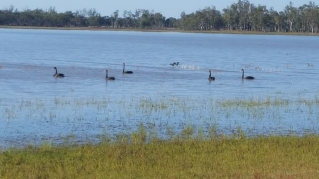
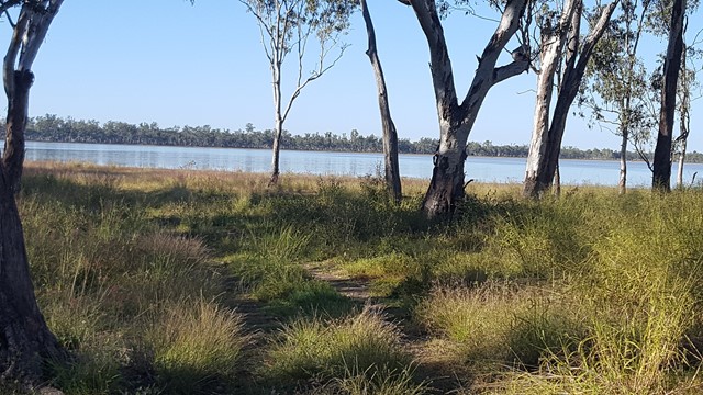
Lake Broadwater The Hide
Darling Downs South West
This track along the lake's shore joins the two camping areas and down to the Hide. It passes the remains of a dingo fence built in the 1860s for St Ruth Station and promises you an abundance of bird and waterbird life.
 300
m
one-way
15
mins
300
m
one-way
15
mins
Wyberba Walk
Girraween National Park
A short accessible walk giving everyone a taste of what Girraween National Park has to offer.
4.5
km
return
2
hrs
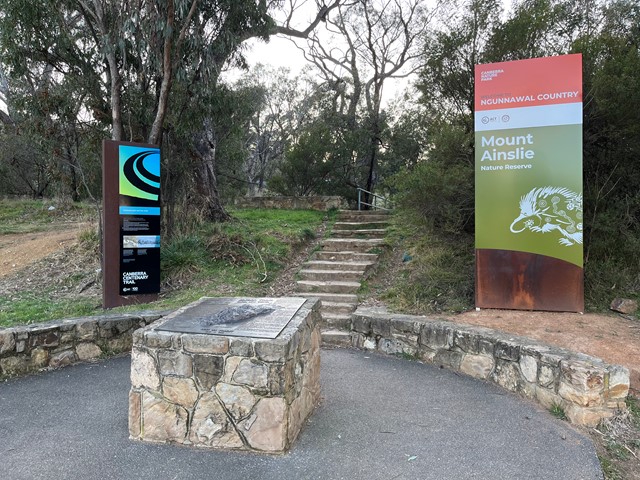
Mount Ainslie Summit Hike
Australian Capital Territory
A good little walk to the top of Mount Ainslie in the ACT.
 3.74
km
return
1
hr
3.74
km
return
1
hr
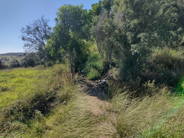
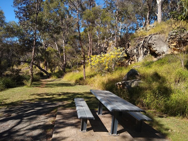
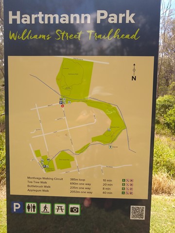
Applegum Walk and Hartmanns Park Circuit
South East Queensland
A creek-side track connecting Bullocky's Rest Park with a network of trails through Hartmann Park in Crows Nest. Includes a short side-track to the Pump Hole, a deep waterhole that is home to long-necked turtles, and includes a small waterfall after rain.
Officially marked Grade 3/Medium (some uneven/rocky/slippery surfaces, especially after rain) this trail is manageable for walkers of most ages and fitness levels.