
Mount Kiangarow
Bunya Mountains


Menu
GPS Tracks

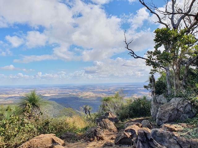
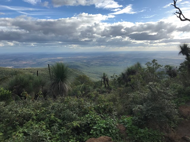

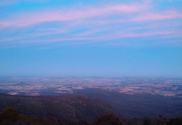
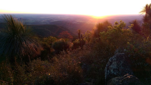
This track leads to the highest point of the Bunya Mountains: Mt Kiangarow (1,135m). The track climbs 132m over 1.4km, gradually winding around the mountain and leading through an avenue of grasstrees at the crest lookout. An excellent spot to view the sunset.
Officially rated Grade 3/Medium (uneven track surface + steady, gentle incline), this is relatively gentle walk that would be suitable for most ages/fitness levels.

Getting there:
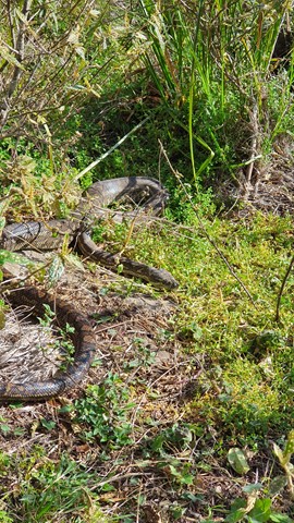
Bunya Mountain Road is the thoroughfare to Bunya Mountains. It can be reached from Kingaroy south on the Bunya Highway for 32km and turning left (signposted). From Dalby north, you need your GPS to get to the base of the drive. This is a very steep and twisty mountain road, which is shared by hikers and lots of wildlife, so please take care.
Start at the Burtons Well camping and day use area at the northern end of the park.
Maps:
Route/Trail notes:
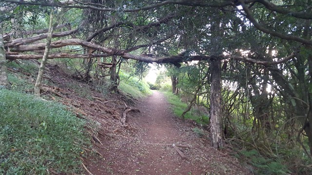
From the picnic area, cross the road to the signposted start of the trail. Follow the track as it slopes gently up and around the mountain to the summit lookout, passing through shady, fern-carpeted vine forest, native raspberry thickets, a corridor of grass trees and sparser vegetation towards the summit. There is only one interesction, which is clearly signed. The path is well-defined and easy to follow, though some sections have rocks and tree-roots that could cause a trip-hazard - remember to bring a torch if returning to camp after sunset.
Return by the same route.
Permits/Costs:
None.
Other References/Comments:
Camping options are available at various points along Bunya Mountain Road, including Burtons Well. Fees Apply.
 369 Mount Kiangarow (GPX)
 2.3
2.3 1
1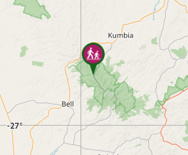
Comments