
Lower Creek Circuit
Tamborine National Park


Menu
GPS Tracks
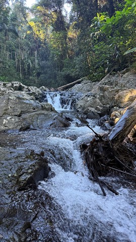
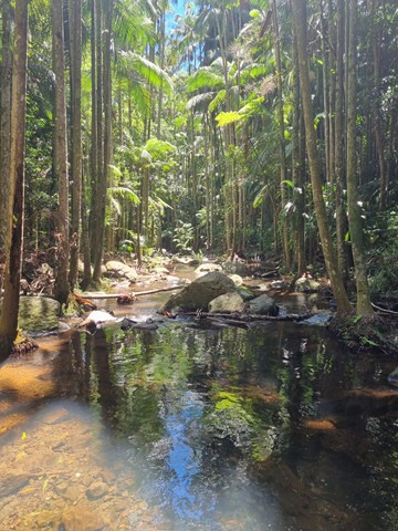
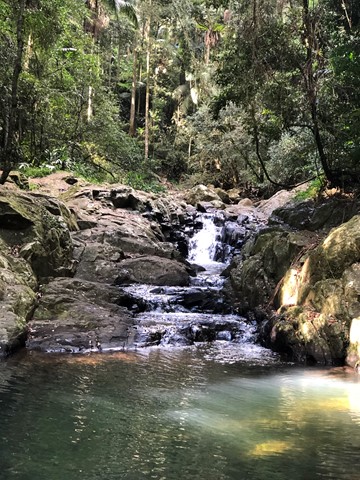

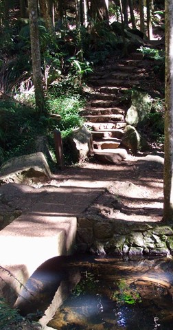
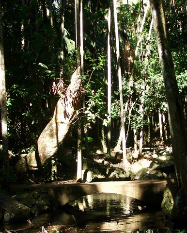
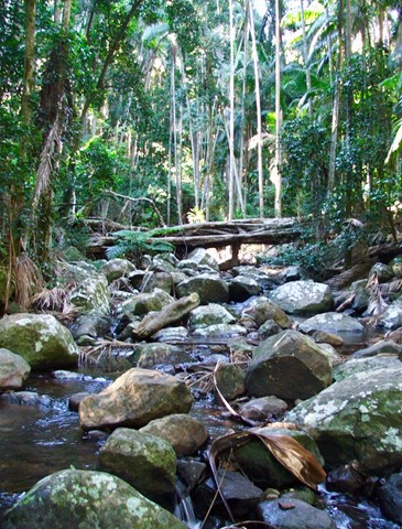
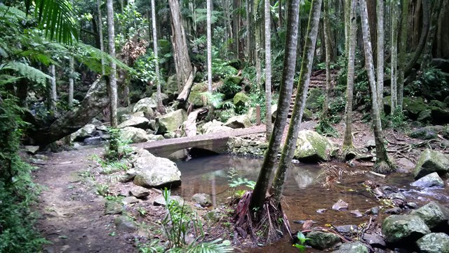

Branching off the Curtis Falls track, the Lower Creek circuit crosses Cedar Creek before passing a giant strangler fig.
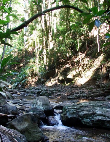
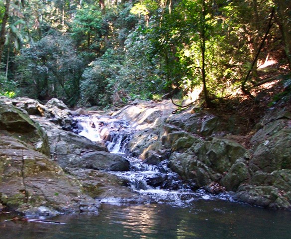
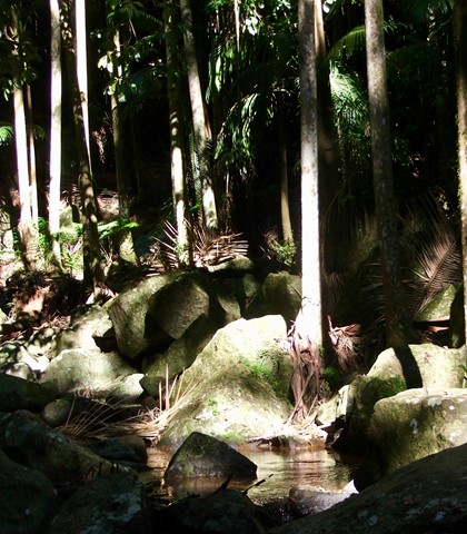
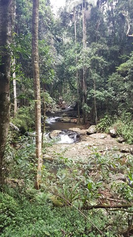
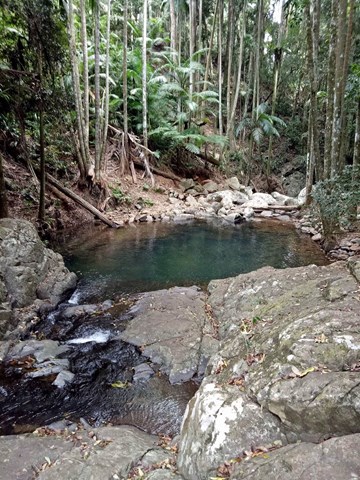
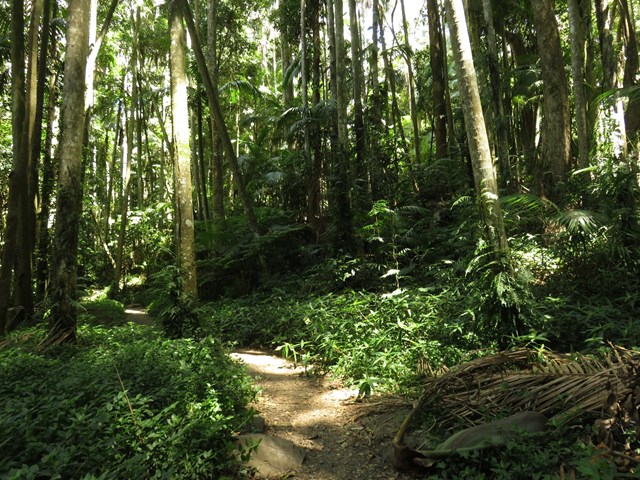
Beyond the strangler fig, the track has an uneven surfaces, creek crossings that involve rock hopping and natural hazards are likely to be present. Notice basalt boulders and columns on this creek-side rainforest walk.

Getting there:
Signposted turn off from Eagle Heights Road into Dapsang Drive, where there is a parking area and toilets. There is also a cafe for a refreshing drink on your return. There is also a broad walk access from the junction of Eagle Heights Road and Geissmann Drive.
Maps:
Route/Trail notes:
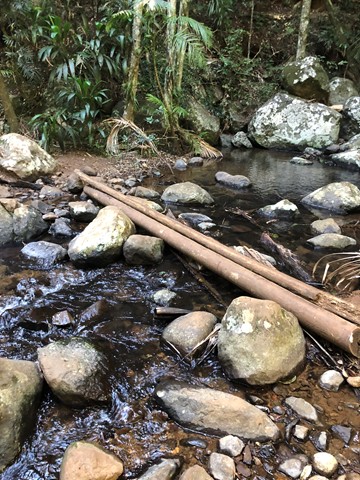
Follow the maintained pathway from the car park, until you take the right fork after the lookout. The track criss-crosses Cedar Creek before forming a loop at the far end.
Permits/Costs:
None.
 52 Lower Creek Circuit (GPX)
 2.4
2.4 75
75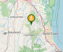
Comments