
Mount Superbus
Main Range National Park


Menu


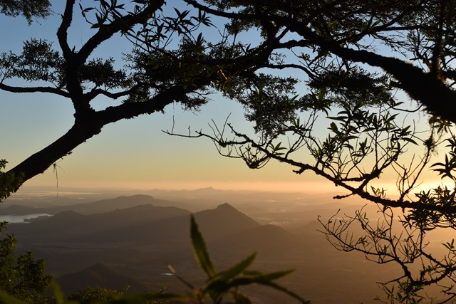
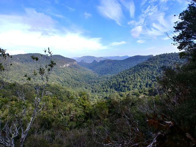
It may not provide any views from the summit, but at 1,375m above sea level Mount Superbus is the highest mountain in southern Queensland. By virtue of that fact, it's a must for any local peakbaggers.

Getting there
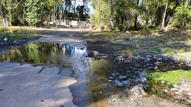
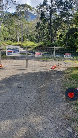
Park on the northern side of Spring Creek Road/Head Road at an obvious clearing 100m west of the Teviot Falls lookout. Make sure you don't block vehicle access to the gate just beyond, which provides access to private property via Brett Road.
Maps
http://qtopo.dnrm.qld.gov.au
Route/Trail notes
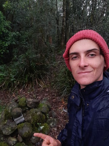
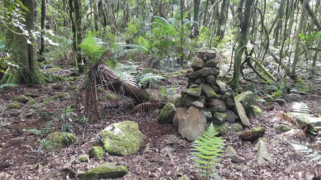
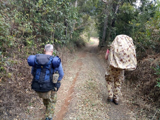
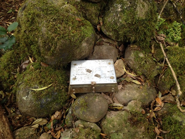
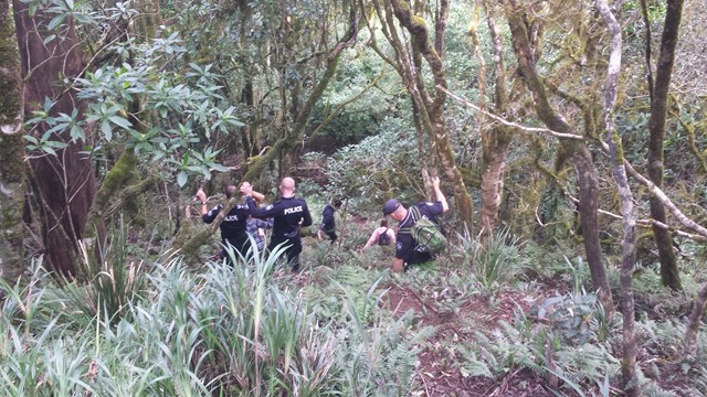
Walk from Spring Creek Road/Head Road along Brett Road (appears to be private, with a gate located approximately 30m from Spring Creek Road). Cross the gate and walk along the gravel road until a path bears right approximately 20m before a 2nd gate into private property. Cross a timber bridge over Teviot Brook and then fight your way through a short section of scunge. Shortly after bear left through the forest up a ridge that leads to a fork on the ridge ENE of the summit. The track is unmarked but generally followed easily. It steepens on approach to the ridge, but hands generally aren't required. At the fork on the saddle turn left and travel westwards approximately 500m to the summit, which is marked with a small cairn and a tin box stamped with Ipswich Catholic Bushwalking Club.
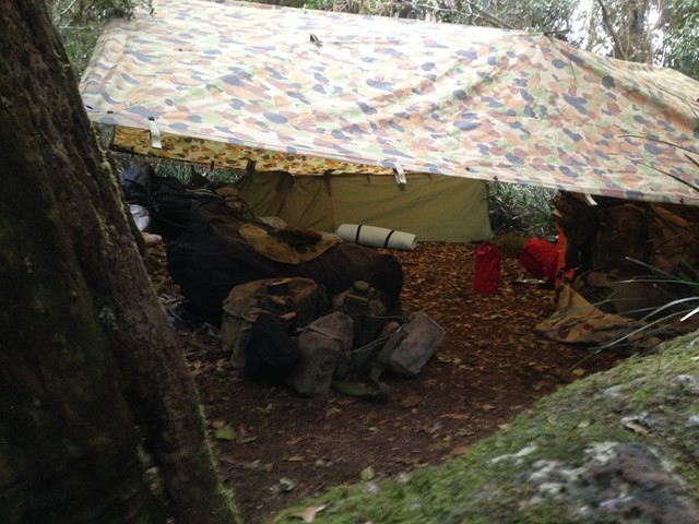
There are two remote campsites on Mt Superbus (north and south)which require a permit and a fee, these are avaliable through the Queensland parks and wildlife website for a small fee
GPS Tracks
- No GPS available for this walk yet.
 10
10 3
3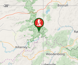
Comments