


 Bohgaban Falls (GPX)
 10
10 4
4- Waterfall Creek Trail (Springbrook National Park)
- Ships Stern Circuit (Lamington National Park)
- Apple Tree Park North and South Trails (Springbrook National Park)
- Little Nerang Creek, Purlingbrook Falls, Road return (Springbrook National Park)
- Apple Tree Park to Little Nerang Creek Falls (Springbrook National Park)
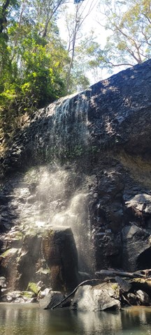
Bohgaban Falls
Lamington National Park
Menu
GPS Tracks

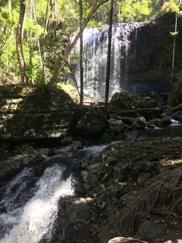
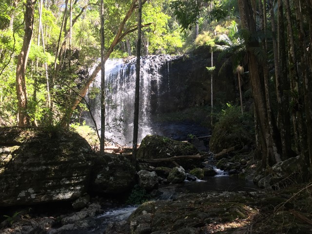
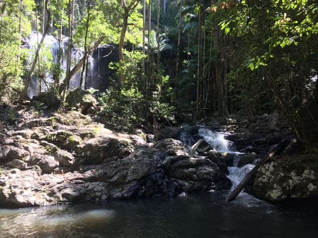
Follows the Gold Coast Hinterland Great Walk before off trail rock hopping up Nixon Creek to Bohgaban Falls.
Waterfalls
Swimming
Scrambling or Climbing
Navigation Required
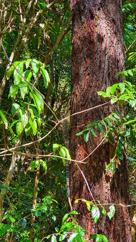
Rainforest
Eucalypt Forest
302m
Maximum Elevation
360m
Total Climb
Getting there
Gold Coast Hinterland Great Walk exit on Nerang Murwillumbah Road (about 150 metres past the bridge that crosses Nixon Creek going towards NSW, there is a small house on the right - part of the Numinbah Correctional Centre)
Maps
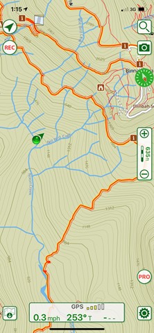
Maps of Lamington National Park Binna Burra Section and Gold Coast Great Walk
Route/Trail notes
Follow the Gold Coast Hinterland Great Walk until it crosses Nixon Creek. You can go upstream from here, but if you want to avoid several hundred metres of rock hopping, keep following the Great Walk track for a little longer. After about 250 metres you'll go through a clearing with a water tank (presumably for fire fighting), then walk another 250 metres or so up over a low ridge, until the track comes back down towards the creek. Cut through about 30 metres of bush to reach the creek again, consider marking where you came down into the creek, and then head upstream. It's not navigationally difficult if you follow the main stream. A few hundred metres from where you left the Great Walk track, Moonjooroora Creek comes in from the left, so just stay right, until reaching Bohgaban Falls, which is about 2km (one to one and a half hours depending on creek flow) upstream from where you left the Great Walk track. Care should be taken as it is off trail with some potentially slippery rock hopping (but there are also quite a few areas where it's easy to walk through the rainforest on the banks). As with any rock hop water levels can alter the state of the route and increase the difficulty. Keep in mind rock hopping is time consuming and there is increased risk of injury due to the terrain.
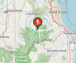
Falls are roughly located at -28.193331, 153.201282 just upstream from Bell Bird Creek's confluence with Nixon Creek.
Permits/Costs
None.
Other References
None provided.
GPS Tracks
Where
Click here to load this map.
Comments