
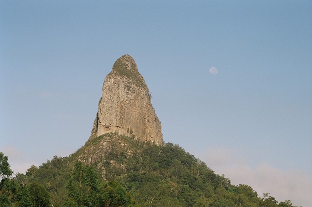
Coonowrin Circut (almost)
Glass House Mountains National Park


Menu
GPS Tracks
This track ALMOST makes it around the entire Coonowrin Circut, infact it is only a matter of 385mts that is blocked off by a gate and heaps of Private Property signs.

Getting there
From the Glass House Mountains Township drive through the town. Turn right then the next left. Park at the end of Murphy's Road and walk the fire trail to your right.
Maps
Which maps cover the area?
Route/Trail notes
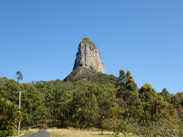
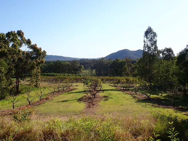
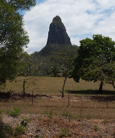
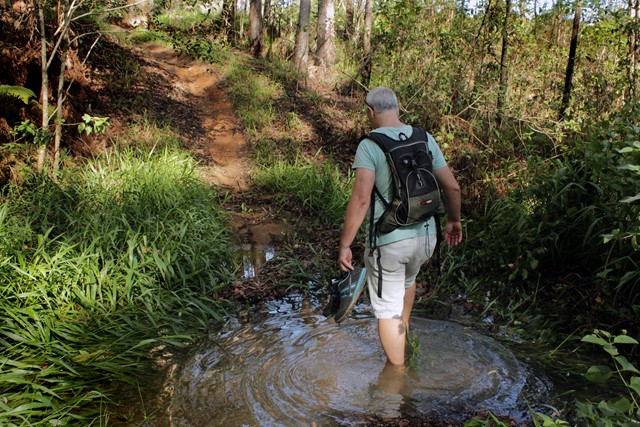
Pass the locked vehical gate and continue. You will pass at the back of some properties. Eventually you will find a path to the left. Take the next left after this aswell. Once again you will pass at the back of more properties. From here you will have nice views of Beerwah. There is no such path, just mowed grass near the fence line. The trail is up and down small hills.
Once you are nearly back to the other side of the mountain you will run into the horrid Private Property signs. We could not find a path to follow on the National Park side of the fence so as to not risk trespassing we turned around. In hindsight we would ask the people who live opposite the track on the left if we could pass through their land.
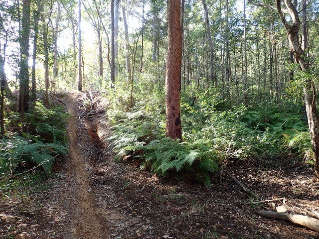
The path early on is an easily defined fire trail. Once you get to the back of the properties it is just a case of following the fence line.
Permits/Costs
Nil (Unless you choose to trespass :)
Other References
None we could find. Just decided to head out and have a look.
 Coonowrin Circuit (complete) (GPX)
 12
12 2.25
2.25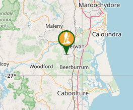
Comments