The Northbrook River Trail (Northbrook Gorges)

Brisbane Forest park D'Aguilar National Park

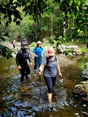
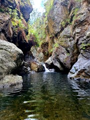
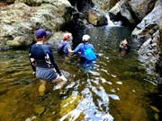
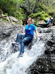
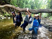
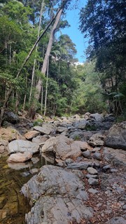
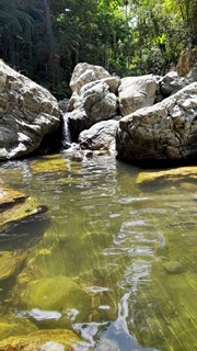
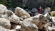
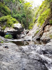
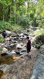
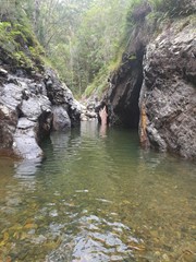
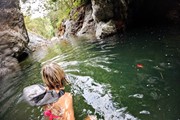
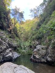
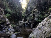
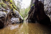
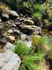
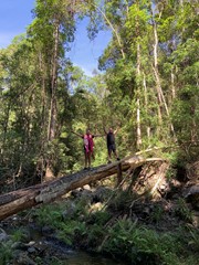
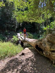
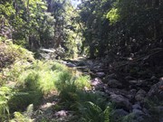
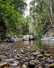
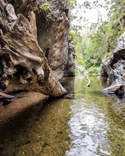
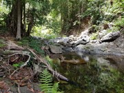
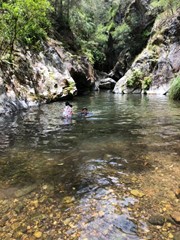
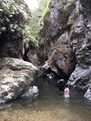
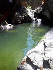
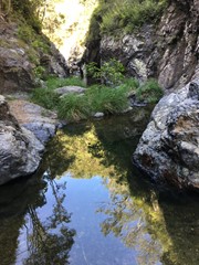
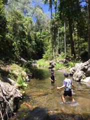
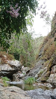
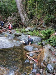
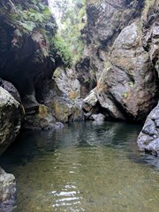
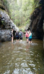
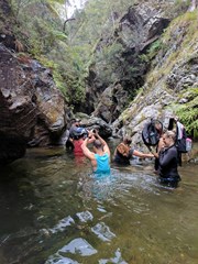
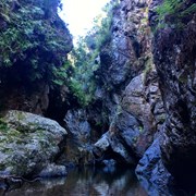
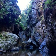
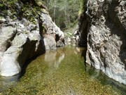
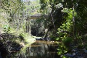
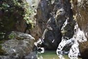
Northbrook Gorge walking and swimming. Beautiful scenery and vegetation. Make sure you pick a nice warm day and bring sturdy shoes your are willing to get wet. the gorges at the end are "gorge-ous", first one you can wade (keep right), second one you definetely in for a swim if you want to cross it.

Waterfalls
Swimming
Scrambling or Climbing
Rainforest
Eucalypt Forest

Getting there

Longer walk: Drive past Maiala Park at Mt Glorious. Follow the road down past Wivenhoe lookout and drive steeply down the road and at the first bridge crossing at the bottom, park near the bridge.


Shorter walk:

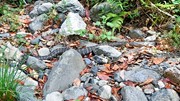
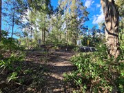
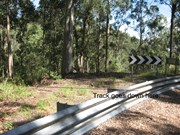
Park at -27.3075939, 152.7138632 near the hairpin bend, 2wd access to carpark on the right hand side if coming from Brisbane. See the photo of the top of the track facing towards the bend and carpark to help find the start of the trail. 

Many have missed the start of this trail in the past

Maps

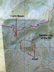
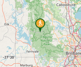
Brisbane Forest Park map.

Route/Trail notes

There is a longer version of this walk and a shorter version which is more popular. 

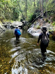
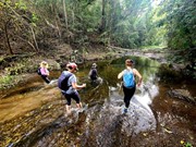
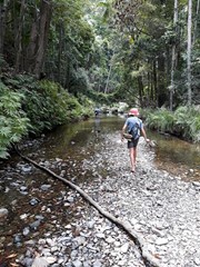
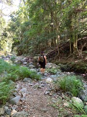
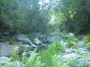
The longer version starts at the carpark just past the first bridge crossing Northbrook Creek as you drive from Brisbane. Follow the path down to the creek and then follow the creek upstream. There is an unmaintained path for most of the journey. Multiple rivercrossings required, wear shoes which can get wet. If you have the time, I highly recommend this longer walk. 

The shorter version is at the carpark located at -27.3075939, 152.7138632 on the right side coming from Brisbane. From the carpark carefully cross the road, gracefully jump over the guard rails on the side of the road  and walk towards the midpoint of the hairpin bend which surrounds the carpark. There is a hard to see track located roughly in the midpoint of the hairpin bend near the carpark which will take you down a steep but manageable descent. 

Once you reach the bottom it is about 10-20 minute walk to the first gorge. (Turn left)

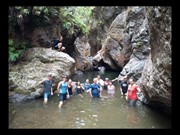
Longer version: From the carpark area, which is small 2 cars only, follow a rough track down into the creek and start walking upstream. Depending on the season and rainfall this will vary but usually it is usually a pleasant 30 min walk to the first gorge. You will usually need to swim through this gorge or follow a steep path on the left up and over. I found swimming easier, so take a surfmat. After swimming through the gorge continue to pick a way up towards the second gorge. When you reach this gorge after about 30 more minutes either swim through or look again for a faint track on the left hand side, which will join up high with a faint steep track that will lead to Wivenhoe lookout.

Once you have enjoyed and explored this area, simply retrace your steps and swims. The path back to the parking lot is well hidden, so on the way back, once you've walked back under the high bridge, look sharply for trails going up, or you will surely miss it. 

great in summer. there seems to be some unofficial campsiteson this walk. 

Permits/Costs

Nil unless camping then $5.

Other References

Nil.

Comments

Notes for families. Walk from the lower small carpark to the first gorge is about 1hr15. We did it with an 8 yr old and a 3 yr old. 3 yr old can go the whole way to the first gorge under their own steam. If you get to the first gorge and the team is feeling a bit iffy, you can leave via a faint steep path on the left (facing upstream) which is nearby (but not) the little tributary. A steep 10 min walk up to the road.
If there has been a lot of rain or you have little people under say 5yrs, you can go to the second gorge but be prepared to then hike back to the first gorge before you can get out.
There are swimming sections to get from the first to the second gorge.
Take some small towels for the little people.

Sarah Bastian-Jordan on 2 Apr, 2017

such an awesome walk, love trekking through water and over the rocks.. leeches to be had by all

Gary on 19 Mar, 2017

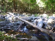
Killer trek. To the lovely pair I met at the bridge- you didn't find the gorge because you were going downstream- not up! Walked for about an hour to an hour and a half up the creek from the bridge. I avoided walking through the bush as I was alone and avoiding snakes which there were plenty of. Pretty much walked in the creek the whole way. Was lovely and refreshing. I stopped a lot to take photos. Some really stunning scenery. 20-30 minutes walk on top of the hour or so to the first gorge brings you to the second gorge after a hip-high swim through the first gorge and a shoulder-high swim metres before the second. Watch out using the fallen-down tree to walk across this pool- it has a branch nub on the submerged end that I stood on, causing me to fall in above my head! You're better off just swimming. Amazing day out but I urge solo trekkers especially to notify a loved one of your walk and bring pressure bandages in case of snake bites. 3 hrs 45 mins with heaps of stops to sit and take in the scenery. Will be back.

Verushka on 18 Mar, 2017

Adventures walk, we did it with our two children 7 and 9.we thoroughly enjoyed the day. Highly recommend it.

Ash on 8 Jan, 2017

If you want a shorter walk in to Northbrook Gorge, this is how I get there.

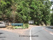
Head up to Mt.Glorious and continue through on the Mt. Nebo / Mt. Glorious Road towards Fernvale / Wivenhoe Dam. As a marker / checkpoint, about 9 kilometres on from the Miala Cafe at Mt. Glorious (the cafe where MANY motorcycle riders congregate for Coffee and Cakes especially on the weekend), you will pass the turnoff to Wivenhoe Outlook on your left.

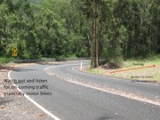
The road then descends very steeply from here. After a further 2.5 kilometres you will see a Road Warning Sign indicating a right-hand, hairpin bend with a 20 kph advisory. DO NOT go round this bend. Turn off the road to your right maybe 25 metres short of the road sign and park in the cleared area.

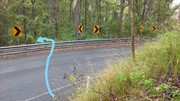
It is a blind bend, but motor vehicle traffic coming the other way is making a steep climb and not generally going fast - so use caution. (Motorcyclists are a bit quicker though). There might be a bit of a washed-out gutter to cross (but every so often, Main Roads fills it in), so pick your angle and go slowly to avoid bottoming out.
Your vehicles brakes will be quite hot from the steep descent. In summer time, you might take care not to park in long dry grass – fire hazard??

Head down on foot towards the lower end / natural 'point' of this parking area (The road descends around this 'point'). Near the ‘point’ a track heads to the left and down to the road. Cross the road carefully. You have to climb over the guardrail. Just above the lower of two sets of black and white, cornering indicator signs, a track descends to Northbrook Creek.
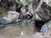
It takes 7 - 10 minutes to walk down to creek. The last bit is steep and can be slippery, especially if wet. You will note that where you get down to Northbrook Creek, immediately on your left, a little gully enters. (This is a good marker when you are walking out to indicate that you need to leave the creek and walk back up to the road).

Head upstream - that is to your left.

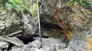
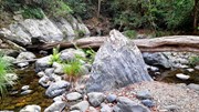
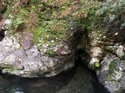
After 3 - 5 minutes you'll come to a big boulder sitting in the creek. (The little 'cave' immediately to the left of this boulder is / was home to hundreds of large moths that rest on the rock wall. If you startle them you might find yourself in a mini swarm).
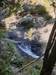
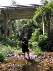
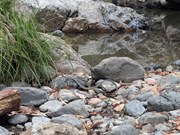
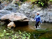
The heavy rains of Summer Season 2011/2012 washed a LOT of gravel from the slopes into the creek. This means that some rockpools that you would previously have had to swim through, are now just an easy walk or wade through.

Northbrook Gorge and its series of rock pools, is another 30 or so minutes upstream.

Zanah on Jan, 2017

Further photos for my 'Directions' Comment. Zanah.

Zanah on Jan, 2017

And the LAST directions photo. Zanah.

Zanah on Jan, 2017

This one is very much so an adventure hike with short swim legs and a little bit of climbing. Took my partner and I around 3 and 1/2 hours stopping for photo ops. (This truly is a great place for photo ops!) Very quiet spot as well. The water was freezing my tanned skin began to look grey towards the end of the trip and my lips a lovely shade of blue. Lot's of patience required for this one, with calculated steps on small stones vs following very faint over grown paths. Feel free to check out my video if you're wanting to explore the gorge. Fantastic location https://youtu.be/g5JpffEvLhE

caus_91 on 8 Oct, 2016

At the start of the 'S-bend' on Northbrook Pkwy, and behind the guard rail, there is another fairly narrow but well defined track which leads down to the gully. (Lat/Lon: -27.307821, 152.713449 -- Map: https://goo.gl/maps/Hpk9cNpfejE2 ). Head upstream and you will soon encounter the gorges. There is room for at least 7 cars inside of the first corner of the 's-bend'

Came across a small amount of wait-a-while plants towards the start.

Some water holes were knee high, others were face high. There are alternate ways around some of them, but not all.

Anonymous on 7 May, 2016

Great walk, some parts have a trail but for the most it was feet wet and walking up the creek.

Good couple of swims added to the fun as the walk continued up through the gorges.

Great fun worth doing.

Stuart on 9 Apr, 2016

Was a great walk, put one car at the bottom and one at the top. Track behind the toilets is difficult to see. Total walk takes about 4 hrs and there is no time to stop and enjoy the swim. It is very steep for the first 40 minutes. A few snakes all carpets, but need to be careful. You can do the walk by walking in from bottom car park and this may be better for inexperienced walkers.

Patrick on 3 Jan, 2016

Did this today from the Wivenhoe lookout. The track starts to the right of the toilet block and quickly disappears. Just follow the lie of the land down until it starts to look like a creek then just keep going downstream from there. Would not recommend doing it in reverse unless you feel like punishing yourself and you know where you're going. I tried to hitch hike back but nobody stopped so I just regular hiked back up the road. Great walk. Lotta snakes. Bring an extra car!

Nikolai on 1 Jan, 2016

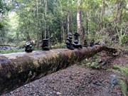
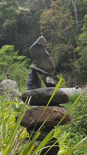
Was a great walk. Awesome time of year as the gorges were deep but not to full. It also seems that hikers leave their special little imprint on the trail as well, which was a nice touch. Will be good to go back in a year or two and see that particular area swarmed with rock towers.

Blairy on 29 Nov, 2015

This is well worth doing. There were several swims along the way (longest 15-20m) followed by a large pool in the second gorge with a short waterfall you could climb around. It's quite popular with bush walking groups. Beautiful photos :) Oh and no leeches!
Note: You can continue up past the second gorge, more rock pools and small waterfalls. Make it a day trip for sure!

Alice on 17 Jan, 2015

Excellant up creek walk. Needed to swim 2 metres to get to 2nd gorge but well worth it for the swim in the 2nd gorge. Water sandals will be an advantage.

Guy on 9 Nov, 2014

Absolutely beautiful walk for so close to Brisbane - expect to get wet though - swimming is required.

bazzer87 on 8 Nov, 2014

Some swimming to needed to get to the very top of the gorges... amazing place!

asterope on 9 Apr, 2012

walked it today and yep both gorges are full of gravel, made it there and back with dry feet...

dreamin5@hotmail.com on 3 Jan, 2012

Nice walk but since the January flooding I'm guessing-the gorge Has been filled up with gravel So there is no swimming opportunity.

zakky on 6 Dec, 2011

Great walk! A bit chilly in the water and a pretty fast current.

Laurence Hallam on 23 Sep, 2010

Where

Click here to load this map.

Nearby Walks

Done this walk?

This walk has been ticked 212 times

Aussie Bushwalking can keep track of your bushwalks.

Login/signup to tick this walk off.

Tick walks to keep track of where you've been. You must Login to tick walks. Accounts are 100% free so sign up if you don't have one.