
The Northbrook River Trail (Northbrook Gorges)
Brisbane Forest park D'Aguilar National Park


Menu
GPS Tracks
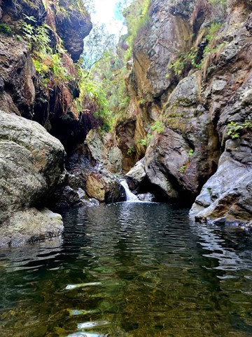
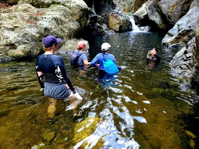
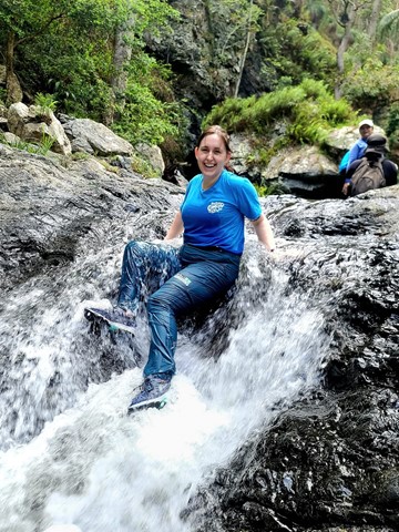
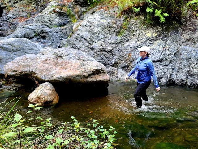
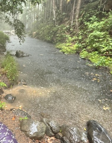
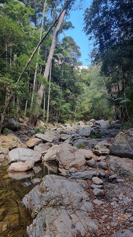
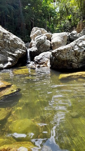
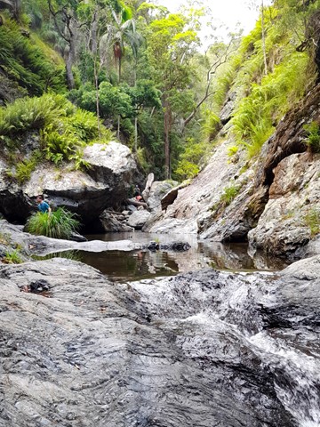
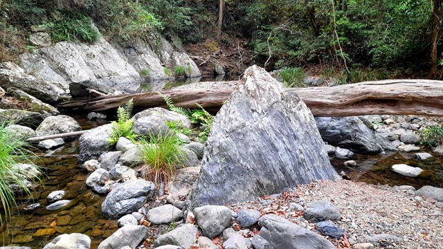
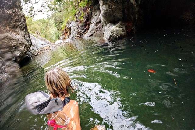
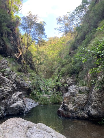
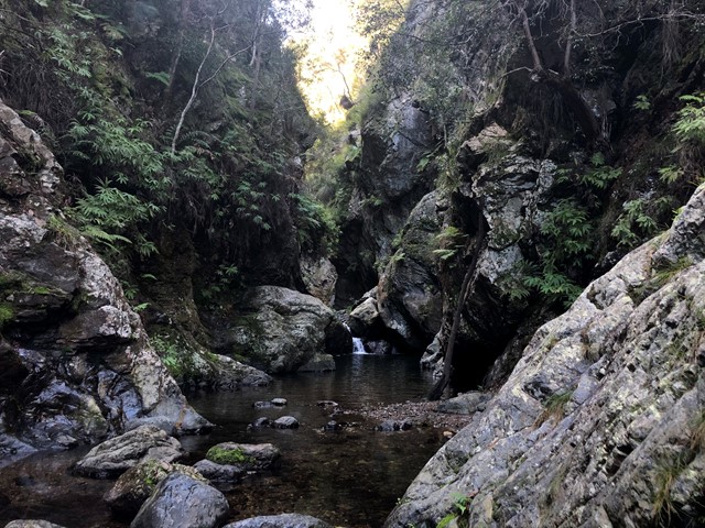
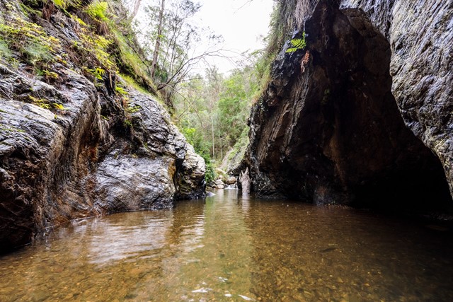
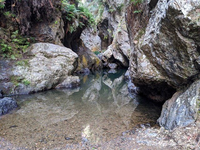
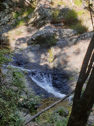

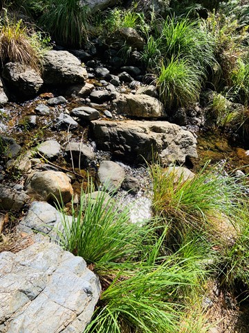


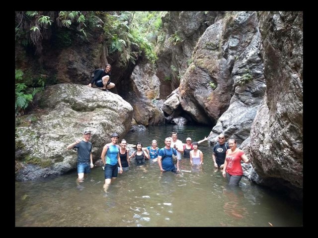

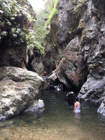
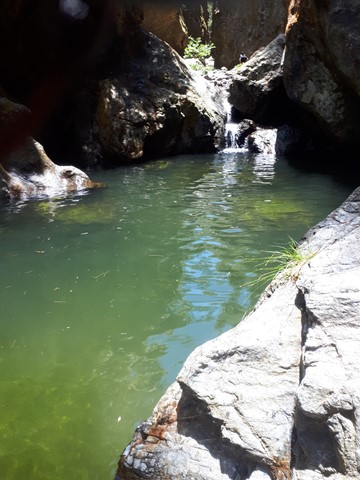


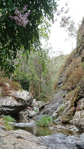
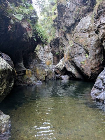
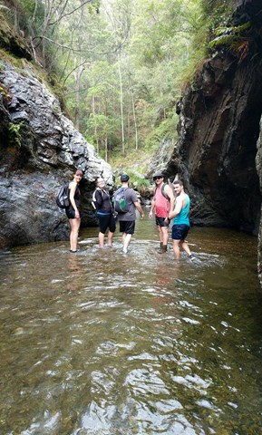
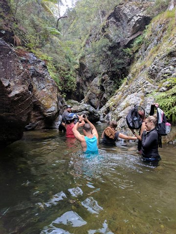

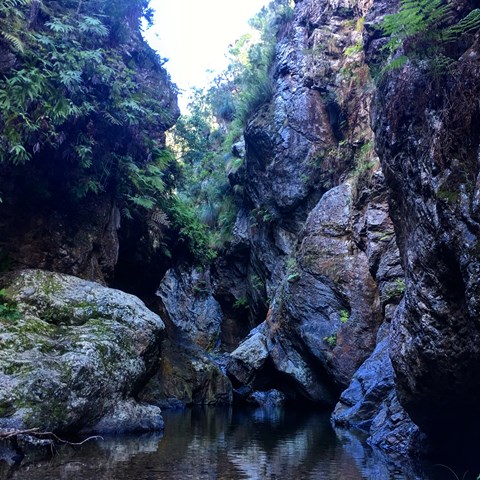

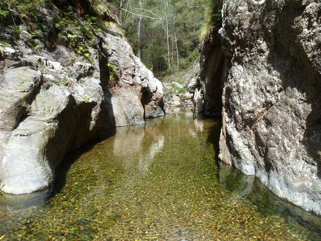
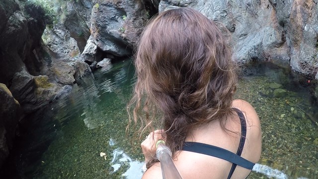
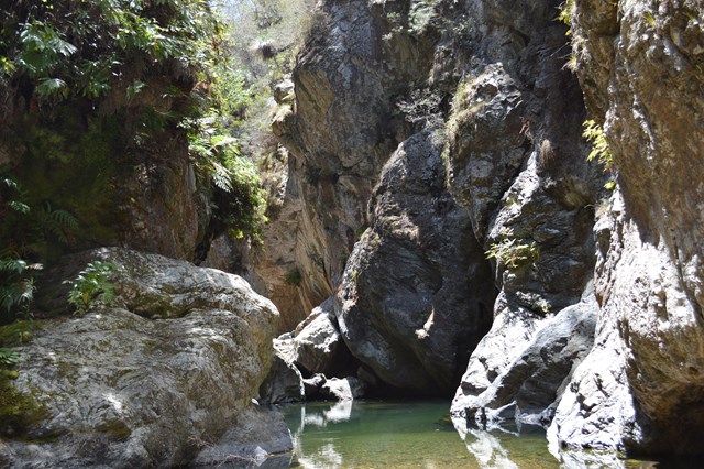
Northbrook Gorge walking and swimming. Beautiful scenery and vegetation. Make sure you pick a nice warm day and bring sturdy shoes your are willing to get wet. the gorges at the end are "gorge-ous", first one you can wade (keep right), second one you definetely in for a swim if you want to cross it.

Getting there
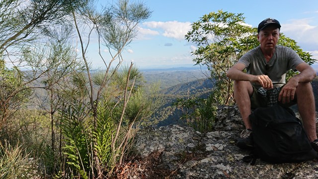
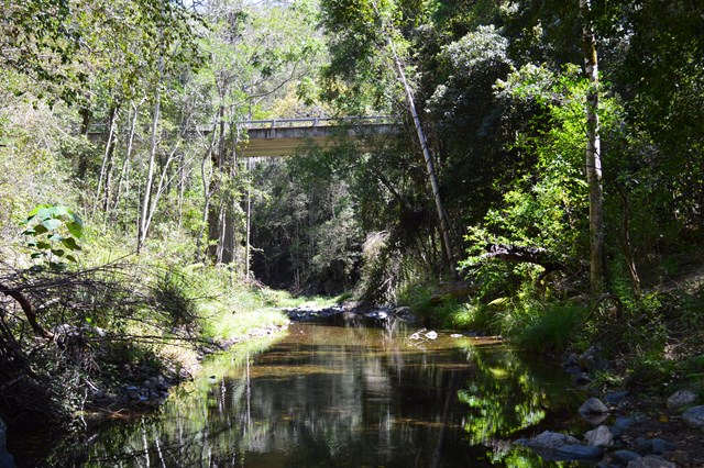
Longer walk: Drive past Maiala Park at Mt Glorious. Follow the road down past Wivenhoe lookout and drive steeply down the road and at the first bridge crossing at the bottom, park near the bridge.
Shorter walk:
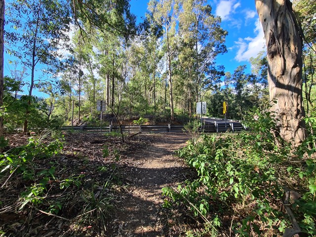
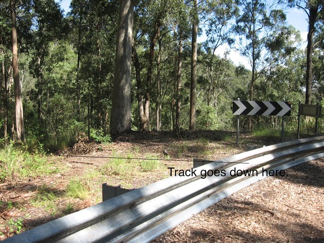
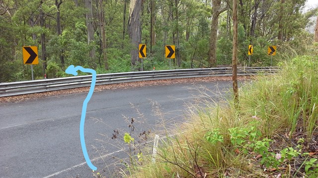
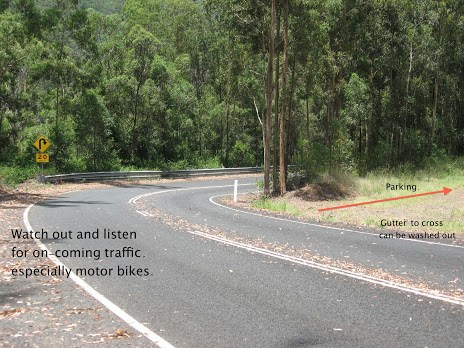
Park at -27.3075939, 152.7138632 near the hairpin bend, 2wd access to carpark on the right hand side if coming from Brisbane. See the photo of the top of the track facing towards the bend and carpark to help find the start of the trail.
Many have missed the start of this trail in the past
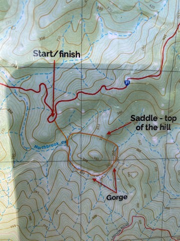
Maps
Brisbane Forest Park map.
Route/Trail notes
There is a longer version of this walk and a shorter version which is more popular.
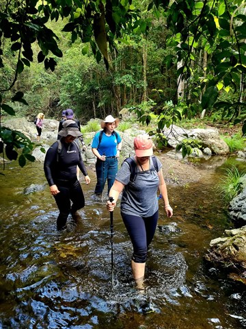
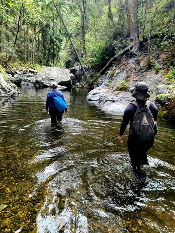
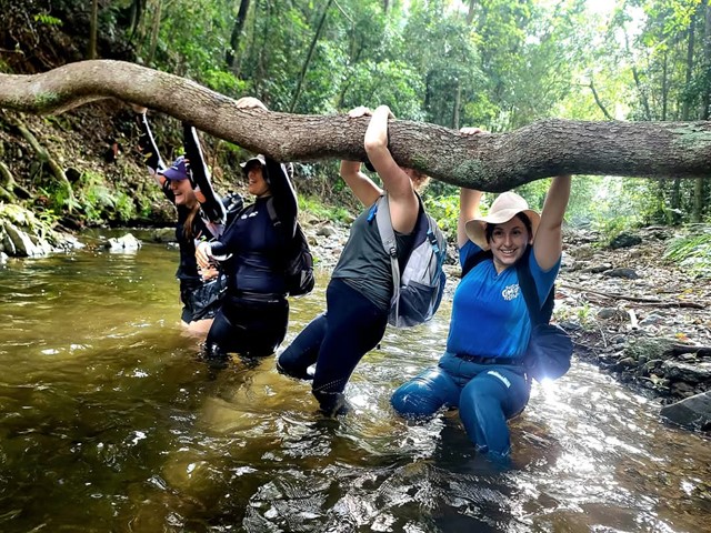
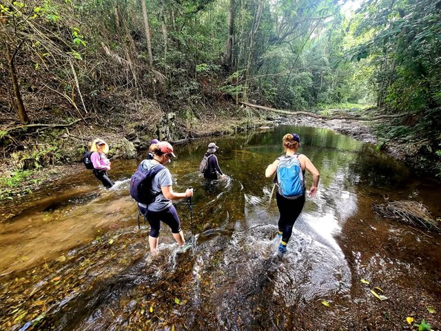
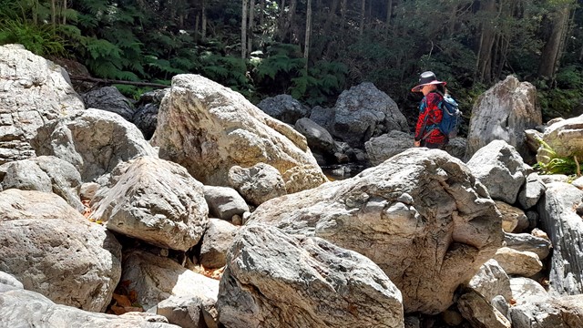
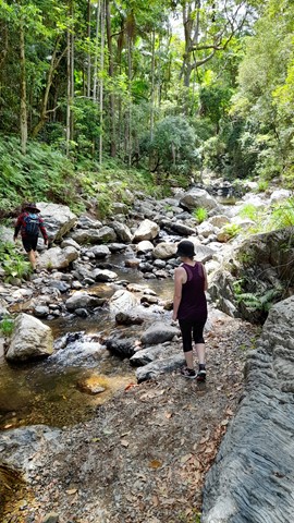
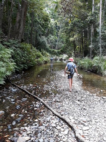
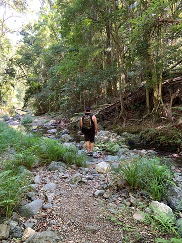
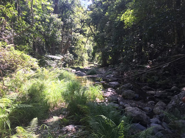
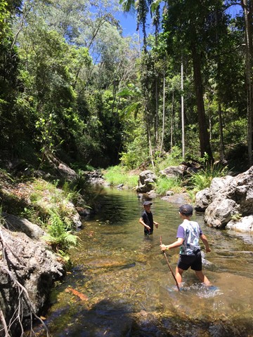
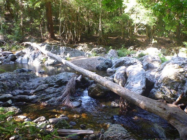
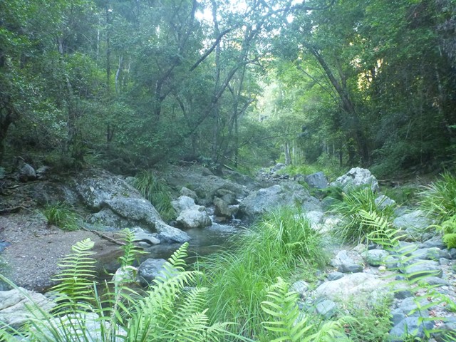
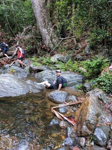
The longer version starts at the carpark just past the first bridge crossing Northbrook Creek as you drive from Brisbane. Follow the path down to the creek and then follow the creek upstream. There is an unmaintained path for most of the journey. Multiple rivercrossings required, wear shoes which can get wet. If you have the time, I highly recommend this longer walk.
The shorter version is at the carpark located at -27.3075939, 152.7138632 on the right side coming from Brisbane. From the carpark carefully cross the road, gracefully jump over the guard rails on the side of the road and walk towards the midpoint of the hairpin bend which surrounds the carpark. There is a hard to see track located roughly in the midpoint of the hairpin bend near the carpark which will take you down a steep but manageable descent.
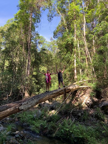
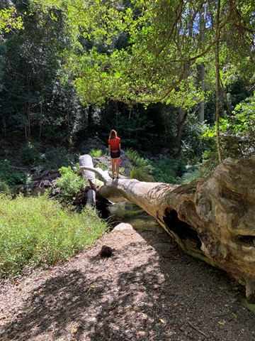
Once you reach the bottom it is about 10-20 minute walk to the first gorge. (Turn left)
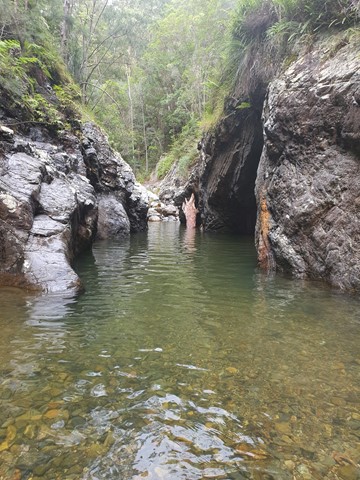
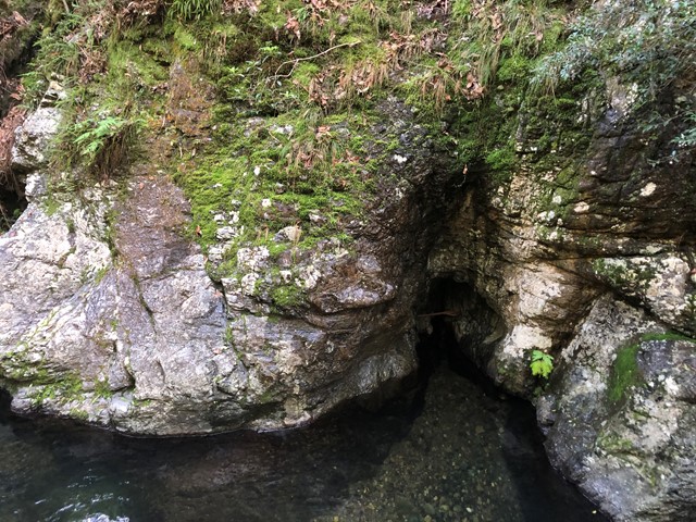
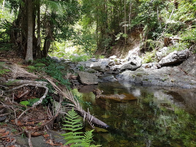
Longer version: From the carpark area, which is small 2 cars only, follow a rough track down into the creek and start walking upstream. Depending on the season and rainfall this will vary but usually it is usually a pleasant 30 min walk to the first gorge. You will usually need to swim through this gorge or follow a steep path on the left up and over. I found swimming easier, so take a surfmat. After swimming through the gorge continue to pick a way up towards the second gorge. When you reach this gorge after about 30 more minutes either swim through or look again for a faint track on the left hand side, which will join up high with a faint steep track that will lead to Wivenhoe lookout.
Once you have enjoyed and explored this area, simply retrace your steps and swims. The path back to the parking lot is well hidden, so on the way back, once you've walked back under the high bridge, look sharply for trails going up, or you will surely miss it.
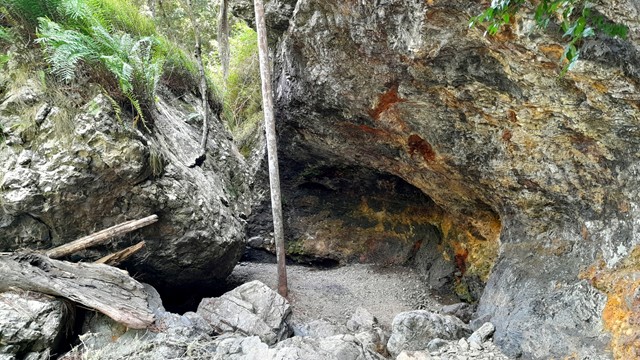
great in summer. there seems to be some unofficial campsiteson this walk.
Permits/Costs
Nil unless camping then $5.
Other References
Nil.
 Northbrook gorges (GPX)
 6
6 3
3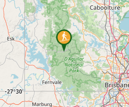
Comments