
Mt Greville via Razor back ridge, waterfall Gorge, Bare rock, the ladder, the peak
Moogerah Peaks National Park


Menu
GPS Tracks

Starting from the car park assend to the folk and then drop across waterfall gorge and assend the northern wall and traverse along a narrow ridge before descending a gully back down into waterfall gorge and assend back up to Bare rock and the down into the northern gorge before taking the 2nd gully back up to a viewing rock and a bolted ladder before the last assend to the peak and desend south east ridge

Getting there
How do you get to the start of the walk?Follow Mt Greville Rd untill you get to the Mt Greville Carpark
Maps
Which maps cover the area? Google maps
Route/Trail notes
Starting from the car park assend to the fork and then drop across waterfall gorge and assend the northern wall and traverse along a narrow ridge before descending a gully back down into waterfall gorge and assend back up to the lookout rock and then immediately down into the northern gorge.
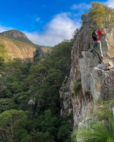
The gorge continues up towards a large tooth shaped pinnacle - there is a pinnacle to the right of the tooth you can access by a 45 degree scramble up - be very careful as it's exposed. There's great views from this Northern pinnacle.
Backtrack a bit where you head to the left of where you started from, and up and up to a waterfall/cave area.
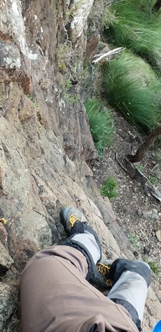
There's a bolted ladder which gives you somewhat easier access to the summit, the alternative is a narrow ledge with extreme exposure to the cliffs below.
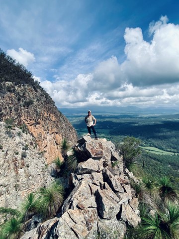
Descend south east ridge
Permits/Costs
None
Other References
It's recommended to go with someone who has done this one before
 Mt Greville via Razorback and Slab Rock (GPX)
 7
7 5
5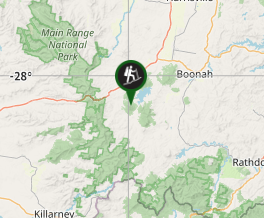
Comments