
Menu
Popular Walks
-
Mount Edwards
(389 ticks) -
Mt Greville
(297 ticks) -
North Cliff Track
(66 ticks) -
Mt Greville: Waterfall Gorge/Palm Gorge circuit
(64 ticks) -
Mee-bor-rum Circuit
(41 ticks)
Parent Regions
Popular Walks
-
Mount Edwards
(389 ticks) -
Mt Greville
(297 ticks) -
North Cliff Track
(66 ticks) -
Mt Greville: Waterfall Gorge/Palm Gorge circuit
(64 ticks) -
Mee-bor-rum Circuit
(41 ticks)
Parent Regions
History
Any interesting history for the region?
Features
What are the standout bushwalking features?
Access
How do you get there? Include all access points if there are many?
Maps
Which maps cover the region?
Accommodation
Where can I stay there? or near there?
Camping
Other
Contact details
https://parks.des.qld.gov.au/parks/moogerah-peaks/about.html
Walks in Moogerah Peaks National Park

 840
m
return
840
m
return
 20
mins
20
mins
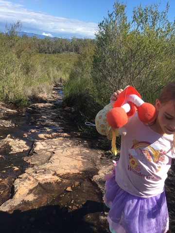
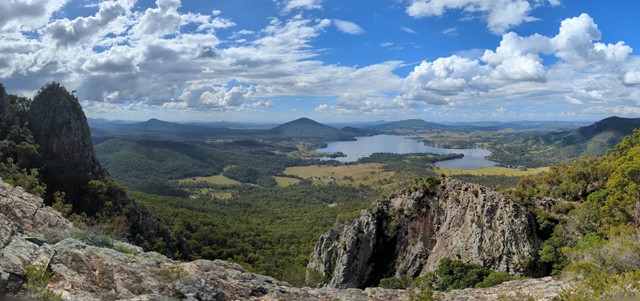
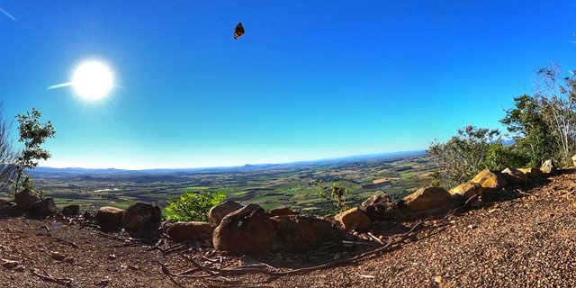
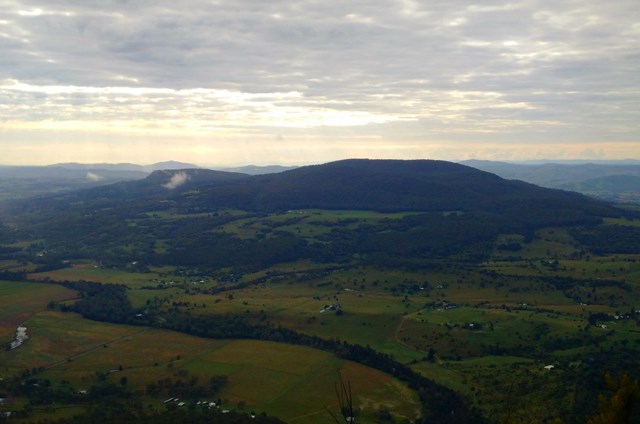
Mee-bor-rum Circuit
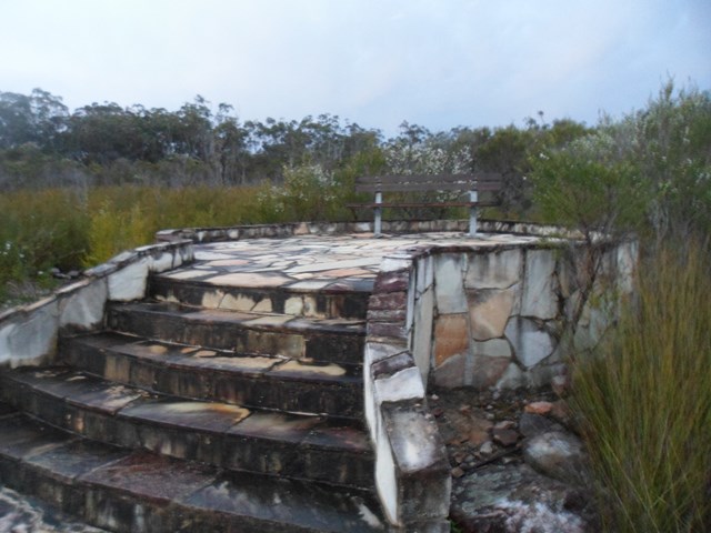
This circuit track passes through heathland and features a lookout with views of Tamborine Mountain, Lamington Plateau and Mount Barney. Care must be taken at the lookout; it is a natural texture and has no handrails. Further along the track a circular viewing platform provides views of the heathland and southern section of Mount French.
 6
km
return
3
hrs
6
km
return
3
hrs
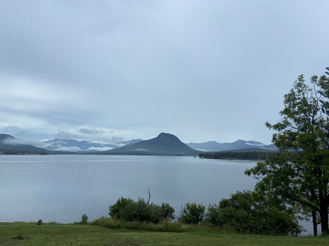
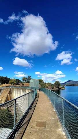
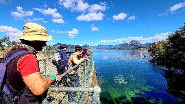
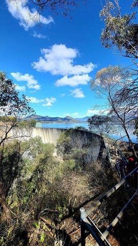
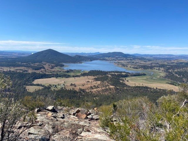
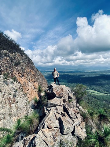
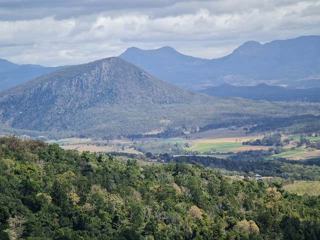
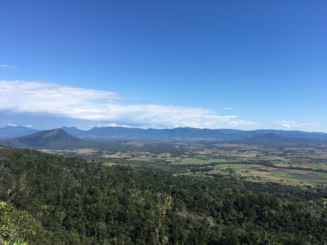
Mount Edwards
This hiking track takes you to the summit of Mt Edwards, the taller, conical-shaped peak beside Moogerah Dam. This trail crosses the dam wall then leads to the top the mountain with an elevation gain of almost 500m to really get your heart pumping. There is a lookout part-way up the track with views of Little Mt Edwards/Reynolds Creek below the dam wall, while the lookout at the summit faces north-east towards Brisbane and the Fassifern Valley.
Officially listed as Grade 5/Very Hard difficulty (unsigned trail, loose/rocky surface, some tree falls/overgrown sections + steep incline), this trail is suitable for walkers with a moderate-high fitness level who are confident and well prepared (wear appropriate shoes, take plenty of water etc.).
 6
km
return
3
hrs
6
km
return
3
hrs
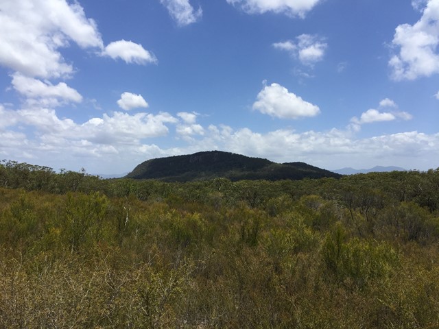
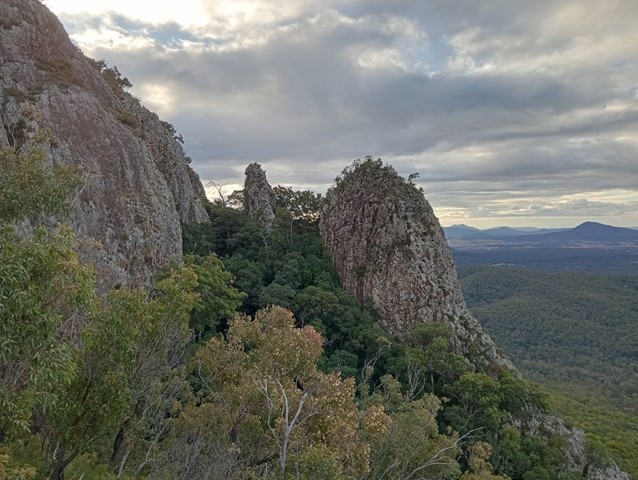
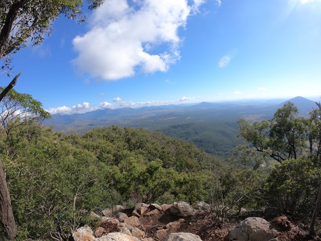
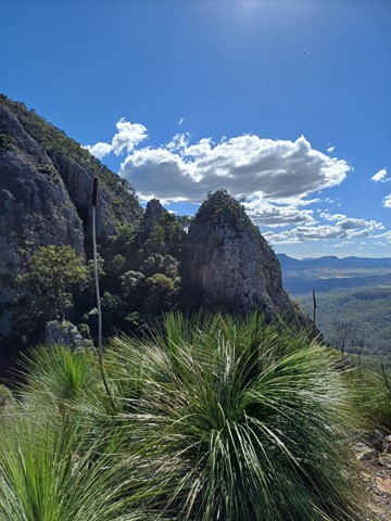
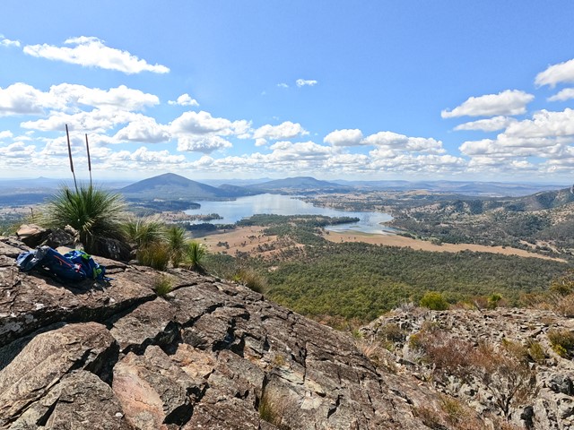
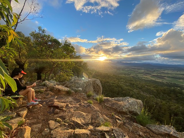
Mt Greville
A walk up to the top of Mt Greville circa 770m. Up the waterfall gorge, then visit viewing platform rock slab near top of waterfall gorge. Alternatively, ascend via SE Ridge. Continue to summit then return via Palm Gorge.
 7
km
return
5
hrs
7
km
return
5
hrs
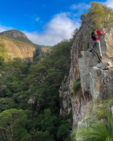
Mt Greville via Razor back ridge, waterfall Gorge, Bare rock, the ladder, the peak
Starting from the car park assend to the folk and then drop across waterfall gorge and assend the northern wall and traverse along a narrow ridge before descending a gully back down into waterfall gorge and assend back up to Bare rock and the down into the northern gorge before taking the 2nd gully back up to a viewing rock and a bolted ladder before the last assend to the peak and desend south east ridge
 5.5
km
return
2.5
hrs
5.5
km
return
2.5
hrs
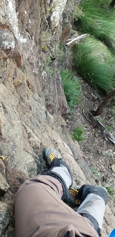
Mt Greville waterfall gorge, Northern face
Starting from the car park ascend to the viewing rock and then head along the faint track towards south east ridge. Once at the cliff line peel of to the right and traverse along until you get to the first gully entrance seen from the viewing rock once there rock scramble up the north western ridge line to the summit. Beware there is a degree of exposure here and no marked route. The bare rock is cliff like and the gullies are extremely unstable beware of shifting rocks. Descend down south east ridge.
 6.5
km
return
4
hrs
6.5
km
return
4
hrs
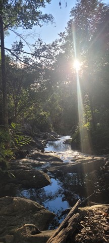
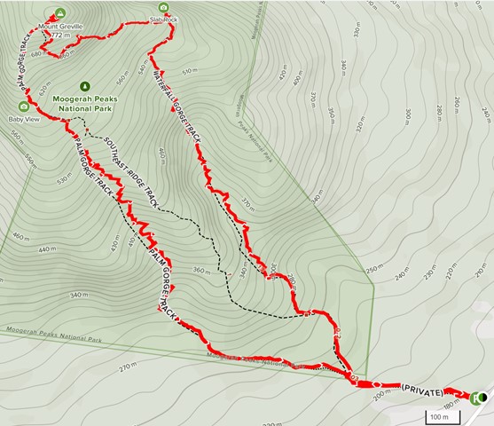
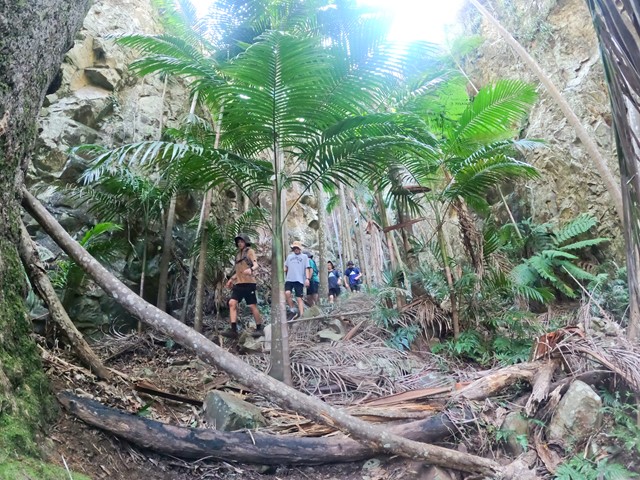
Mt Greville: Waterfall Gorge/Palm Gorge circuit
A rewarding walk up to the summit of Mt Greville via two beautiful gorges. There are also some great Scenic Rim views. This track uses Waterfall Gorge in ascent, and Palm Gorge in descent.
 720
m
return
15
mins
720
m
return
15
mins
North Cliff Track
There are a few small walks which can be added together. The Logans Lookout visits the popular rock climbing sites.