


 24 Picnic Creek Circuit (GPX)
 1.7
1.7 45
45- Kondalilla Falls Circuit (Kondalilla National Park)
- Obi Obi Gorge (Kondalilla National Park)
- Baxter Falls - Southern Approach (Kondalilla National Park)
- Great Sunshine Walk - Baroon Pocket Dam to Mapleton Falls (Kondalilla National Park)
- Baroon Pocket to Kondalilla Falls (return) (Kondalilla National Park)
Picnic Creek Circuit
Kondalilla National Park
Menu
GPS Tracks
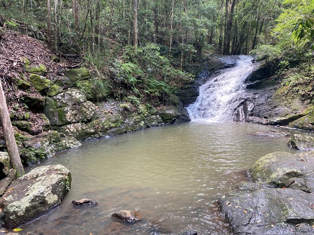
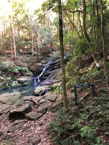

This easy walk crosses Picnic Creek, passes through tall eucalypt forest and patches of wet sclerophyll (a mix of eucalypt and rainforest species). Enjoy views over the valley from a lookout point.
Lookouts
Picnic Facilities
BBQ
Toilets
No Dogs Permitted
No Camping Permitted
Rainforest
412m
Maximum Elevation
122m
Total Climb
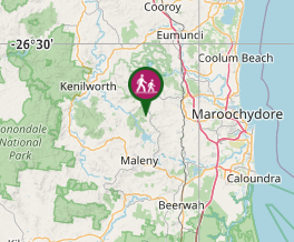
Getting there:
Head to Montville and 2km north of the town on the Mapleton Montville Road, turn left onto Kondalilla Falls Road, where there is a car park at the end. At weekends and public holidays, this area becomes very, very busy and you will find yourself having to park in the adjacent residential streets.
Maps:
Route/Trail notes:
From the bottom of the picnic area just beyond the car park, join the circular trail, which is also shared with the longer Kondalilla Falls (4.7km) and Sunshine Coast Hinterland Great Walk (58km). At the far side is a viewing platform of the valley below.
Permits/Costs:
None.
Other References/Comments:
None.
GPS Tracks
Where
Click here to load this map.
Comments