Mt Elimbah (The Saddleback)

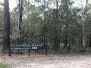
Glass House Mountains National Park

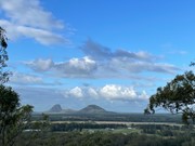
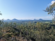
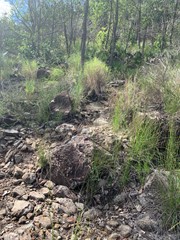
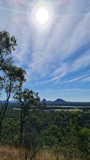
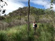
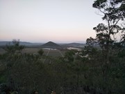
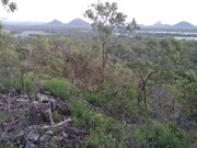
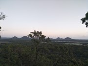
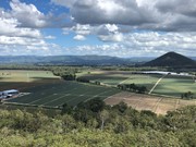
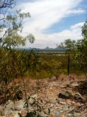
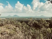
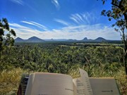
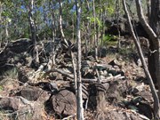
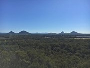
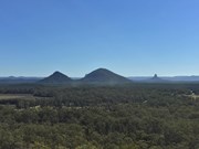
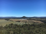
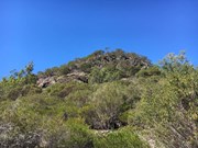
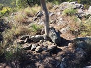
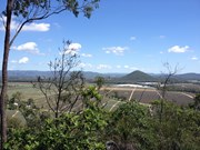
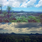
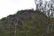
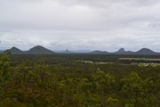
At only 120m high this is an easy climb to the top of one of the two most southerly of the Glass House Mountains. The terrain is mostly rocks with grass or dense bush but has a surprisingly good 360° view from the top.

Lookouts
Scrambling or Climbing
No Dogs Permitted
No Camping Permitted
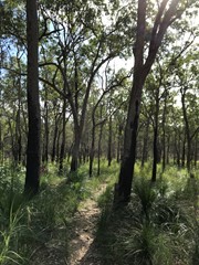
Eucalypt Forest
120m
Maximum Elevation
70m
Total Climb

Getting there:

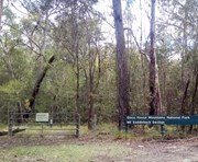
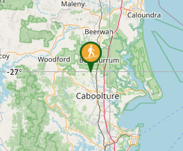
Take the Steve Irwin Way from the Bruce Highway to the Beerburrum. Take the Beerburrum Road south to Elimbah, where you turn right into Smiths Road, then right into Old Gympie Road. At approx number 799 Old Gympie Road is a small entrance to the right into the National Park car park.  National Park sign is off the road, tend to spot it as you drive past, if you get to the unsealed road you've gone too far.  Map to the car park

Maps:

None found.

Route/Trail notes:

From the car park gate the trail winds around towards the mountain for 100 metres to a fork in the track which goes either way around the mountain. However, neither of these tracks go all the way around. You then have two options:

Take the left hand track (2.8km return) and followed it for about 600m crossing two creeks/gullies. Just beyond this the track turns sharp left and it is from here you head right through the open grass area towards the mountain. There are heaps of Wallaby tracks, but no defined walking tracks, so the best way is to head straight to the summit and work out the best way as you go.

Take the right hand track (1.7km return) and after 400m you will see the 'pink flagged' (also a white arrow on a tree) entrance to the ascent. This track is now well marked and defined and takes you directly to the top.

In both cases there is a requirement to negotiate the boulders and rocks and would require great care when wet.

Additional note June 2020:  I'm leaving the description of two options from respect for whoever first wrote it, maybe it was a while ago and the area has become overgrown since.  However I agree with various comments that the left hand track is of no use.  It leads firstly to a locked gate, from which a pair of wheel tracks to the right follow a barbed wire fence to end at another locked gate.  I saw no open grass areas and no view of the mountain to aim for.  Take the right hand track, it is a clear path to the top.

Permits/Costs:

None.

Other References/Comments:

Kill two birds with one stone and climb Mt Miketeebumulgrai on the same day as it is just 6km up the road.


Comments

Nice quiet walk with great views. I made a 3-min video with drone footage & maps here: https://youtu.be/H9VERpeXvI0

Richard Pattison on 13 Oct, 2023

Went right at the fork. Great short hike, little bit of light climbing involved nothing too intimidating. Two peaks to look out from, the higher one is easily accessed with a little climbing. Became slightly lost on the way back down but found our way back to the track easily. Didn't notice any pink flags, the track is just well walked.

Sianlesley on 28 Mar, 2023

Great little hike, little scramble at the top. Gets the heart pumping as quite steep.

Joanne on 1 Jan, 2023

Done so many times. If you live in the greater Brisbane area, do this!!
Also definitely not 75 minutes!

BushwalkerBro on Jun, 2022

A part of the 7 Peaks for Daniel :)

Michelle on 29 Oct, 2021

This was so much fun but we went down the wrong way, we must have missed the way we came up because we ended up literally rock climbing down, it was a little uneasy at times but it was the only way down once we already started, we went so far off track we didn't coming back the left fork way when you came in, which was just dense as bush, it was certainly interesting. Agree with everyone, take the right turn, and remember the way you came up. Otherwise very beautiful up top.

Lotus on 18 Jun, 2021

Easy 20 minutes right in my own backyard.

Cohomum on 3 May, 2021

I love this walk.
Have done it about 5 times. Nice and short, but still gets the heart pumping as its pretty steep. Good view from the top, not amazing but nice enough.

Pien anne on 28 Apr, 2021

Nice short walk, easy to follow and an easy scramble/walk to the top with some truly great views.

Bobbe on 16 Aug, 2020

Few people and great view. Only 1h drive from Brisbane. Easy and flat walk at the beginning then a bit of climb on the top.

Hui Xiao on 20 Jul, 2020

Agree with comments. Relatively easy walk with great views. I stopped and turned back about half way when the vegetation thins out, simply because I don't handle any level of exposure. OK going up with the track in front of you, but turned to face the magnificent view and that old feeling of staring into the void got to me. Don't be put off, it's fine for most people, just I'm a pretty extreme case.

Jim Craigen on 2 Jul, 2020

Great hike up this little mountain. Just ensure you turn right at the first junction or you'll complete another 2k's to a locked gate to nowhere and have to then turn around again.
Great views at the top and if timed right you can get a sweet treat from the grass tree flowers on the way.

Hillbilly Aussie on 21 Jun, 2020

Lovely short walk with a decent view of the mountains. A good introduction/ warm up to first timers in the area and easy to combo with other short mountains nearby.

JayWalker on 17 Jun, 2020

Nice hike wearing our 6 month old on my back. The pink ribbon the other reviewers speak of appears to be gone and replaced by a handwritten note directing you to go right up the mountain. I don't suspect the note will last too long, so just remember to take the right at the first fork.

Leith on 9 Jun, 2020

Second climb on Monday 18 May. Nice little climb. Small car park, but again directions on this site made everything easy to find. Went right at the fork where the pink ribbon is tied to the tree. Views not too bad, but filtered in parts. Had a quick, unsuccessful look for the other trail down. Next time.

Nick.b on 18 May, 2020

A short, steep walk that is not well-marked.

At the car park, start walking from the gate.

You will soon need to take a right turn where there is a piece of pink tape hanging in a tree.

Further along, you will encounter a sign indicating no horses, dogs, etc. The path forks here. Take the path to the left to head straight to the mountain/summit.

Some nice views of the other Glasshouse Mountains.

We did not encounter any other people on the track.

BalticAussie on 4 May, 2020

Amazing views

xxxNickyxxx on 2 May, 2020

Did this one at sunrise this morning. Fairly easy hike to the top with pretty good views of the other mountains. The only part I didn't enjoy was it had rained for a few days previous and the track going in was quite boggy.

Darren on 15 Feb, 2020

My 10 year old grandson and i (60) hiked this track together. The area is bursting to life after recent rains and time since a bushfire had been through parts of this area at some point. We saw lots of wildflowers, birds of prey and listened to the song of the cicadas in parts.
We took the right hand path as suggested by a previous comment.
Really enjoyable

Gaynor Robin Hubble on 26 Jan, 2020

This is smallest of the Glass House Mountains, and the track is well worn - -simple to find if entering from the car park.

This is more of a hill than a mountain and is only considered a mountain to encourage more tourism to the area, but it does have nice sunset and sunrise views. Shes a nice easy walk to a rewarding spot; nice for an afternoon drink or two (just take your trash with you)

basalamant on 2020

Where

Click here to load this map.

Nearby Walks

Done this walk?

This walk has been ticked 122 times

Aussie Bushwalking can keep track of your bushwalks.

Login/signup to tick this walk off.

Tick walks to keep track of where you've been. You must Login to tick walks. Accounts are 100% free so sign up if you don't have one.