
Mt Coochin (East and West Peaks)
Glass House Mountains National Park


Menu
GPS Tracks
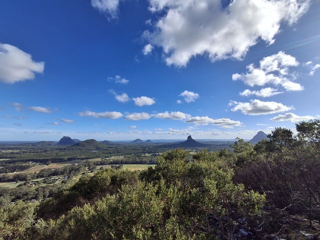


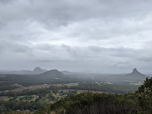
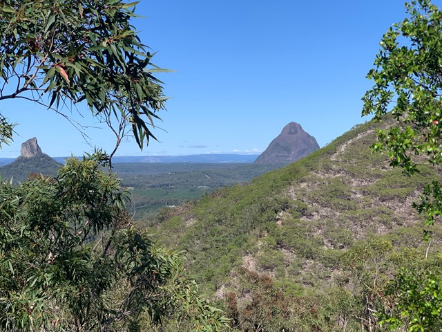

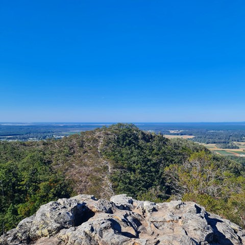
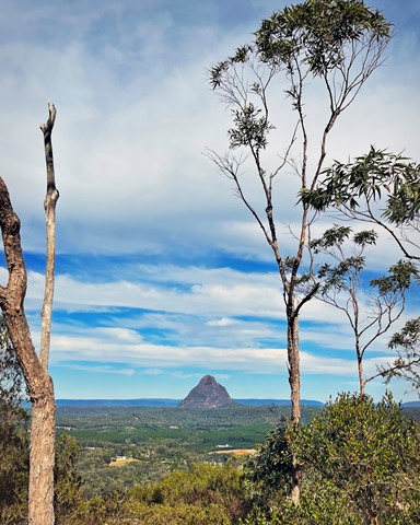
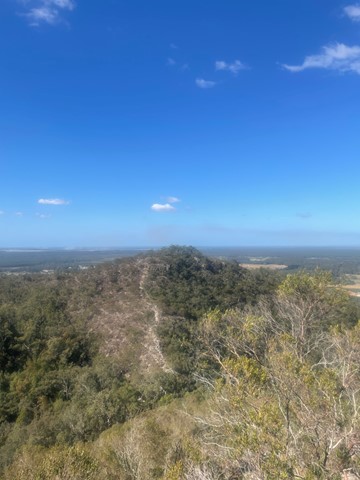

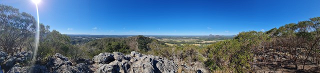
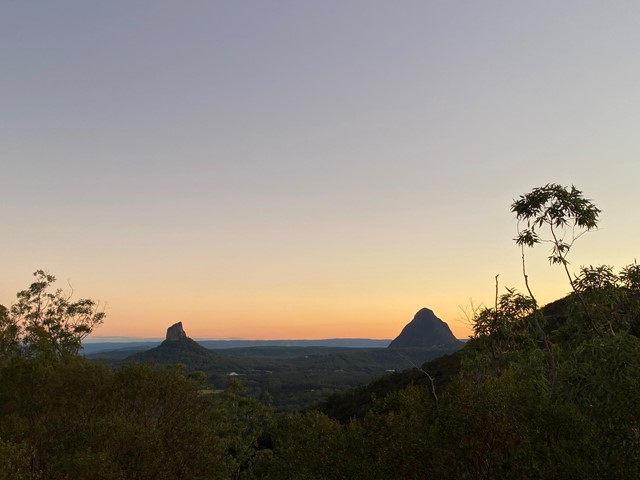
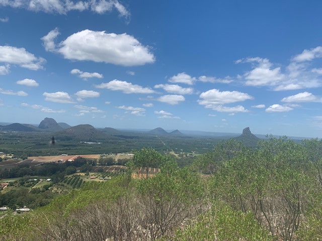
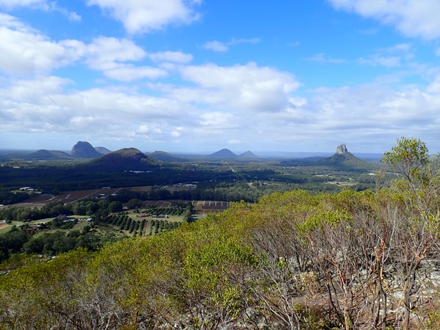
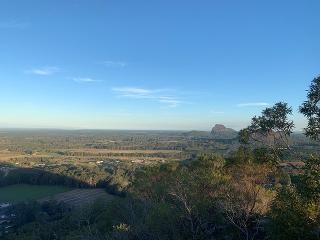

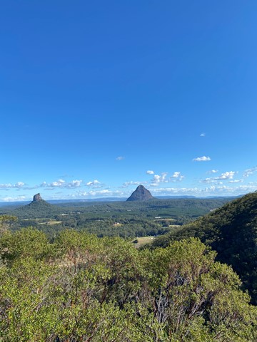
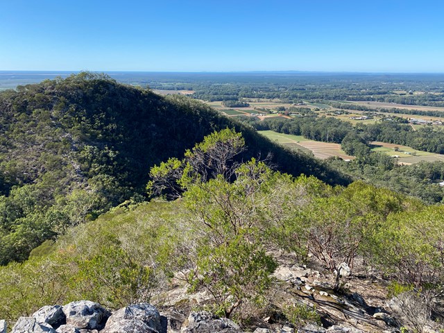

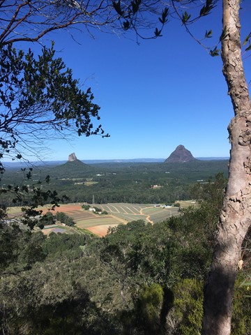
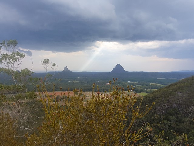
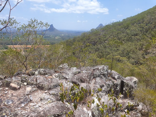
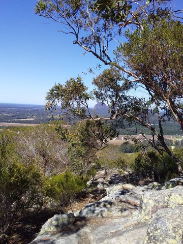
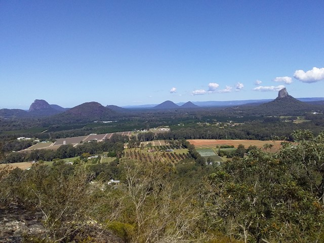
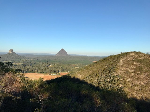


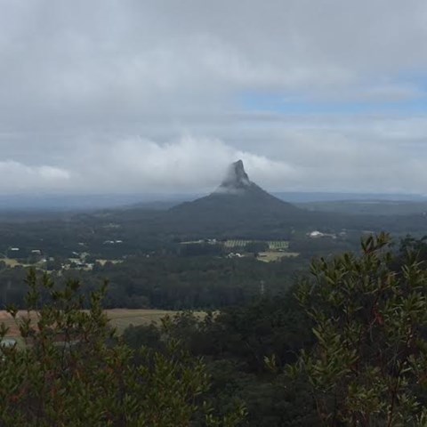
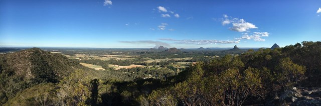
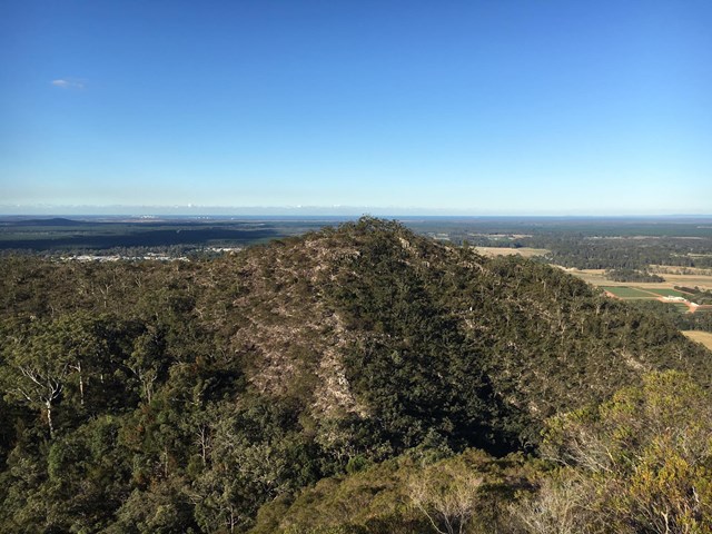


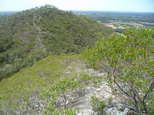


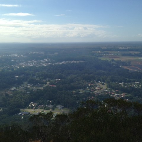
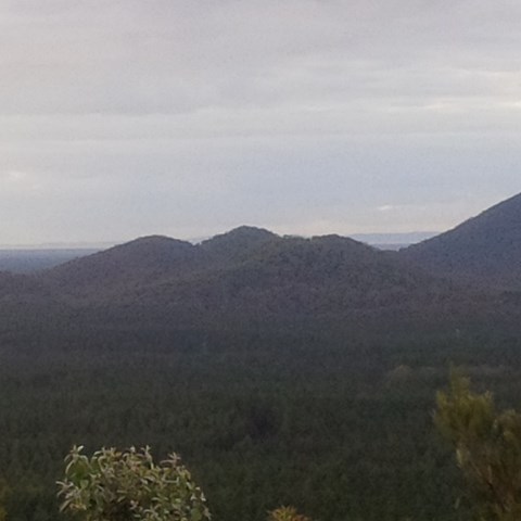
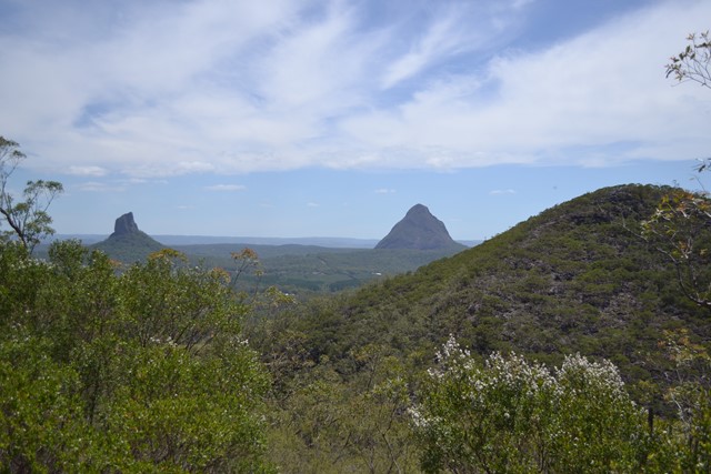
This is a great scramble on a pretty twin peak mountain, with some outstanding views of the Glass House Mountains region to the south and the Brisbane CBD in the far distance.

Getting there:
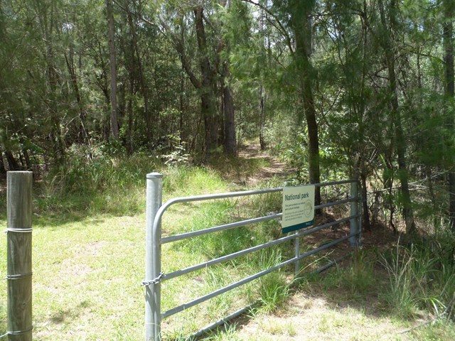
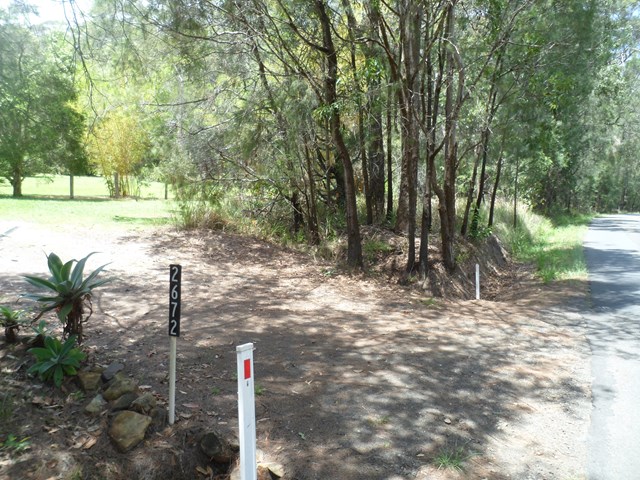
Take the Steve Irwin Way off the Bruce Highway and turn west into the Beerwah township. Follow the Kilcoy-Beerwah/Peachester Road and turn left into Old Gympie Road. After 1km, turn into the driveway of house number 2,672 and to the right, follow the fence past the palm trees and park near the gate with Mt Coochin National Park sign.
Maps:
Route/Trail notes:
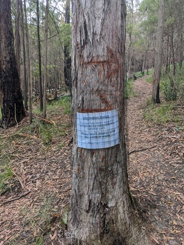
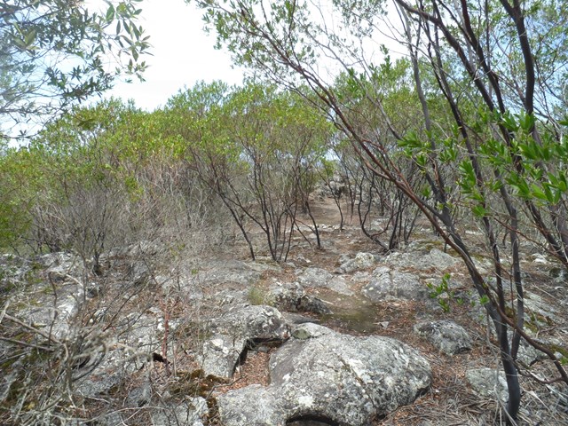
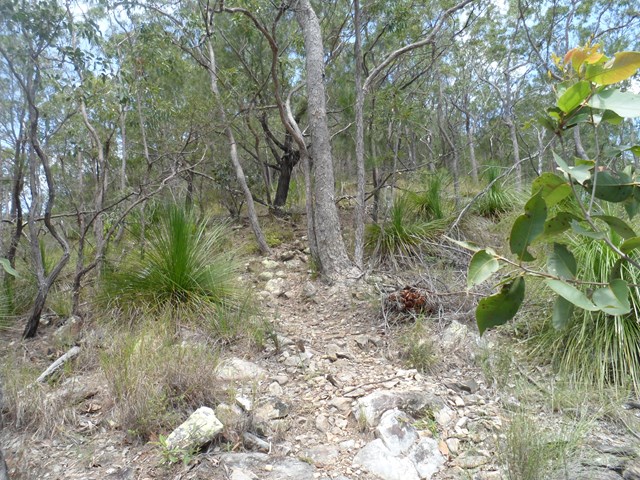
You have two option here: up and back or up and over! Past the gate, follow the track for 50m to your right to the intersection (this track circumvents the whole mountain) turn left and after 100m, look for the trail on your right, which is marked with pink flagging tape.
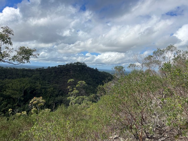
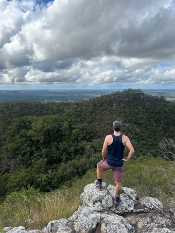
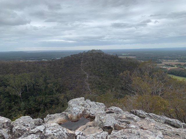
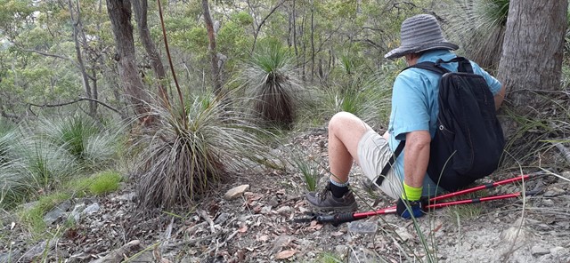
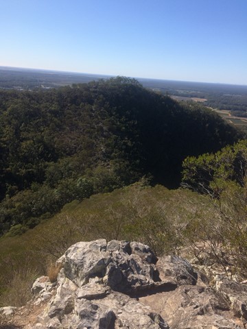
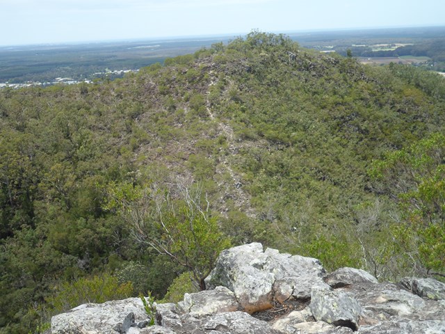
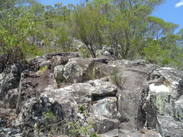
Follow this path steeply uphill until you reach the first summit. After exploring this area, face the second summit and follow the obvious ridge down. At the bottom, is a gully with steep sides; take care descending and follow a faint path up the other side; in some places it requires some scrambling. When you arrive at the second peak, have a good look round and see the other peaks in the area.
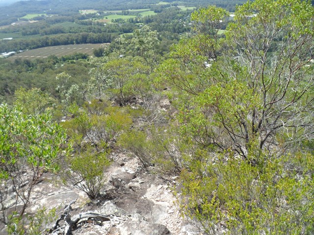
Return the way you came, or follow a very, very faint trail heading South East (now has pink flagging tape), which steeply descends towards the 'circumvention' track, where you turn left back to the start.
There is also another track down heading directly north. It is easy to lose the trail and you may well find yourself 'bush-bashing' down the steep overgrown gully cliff face. Once you hit the bottom 'circumvention' track, turn left to return to your start point.
Permits/Costs:
None.
Other References/Comments:
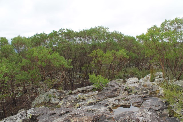
Be aware, that the South Eastern and Northern tracks down are not well defined, slippery with plenty of loose rock.
 Mt Coochin loop. (GPX)
 2.8
2.8 2
2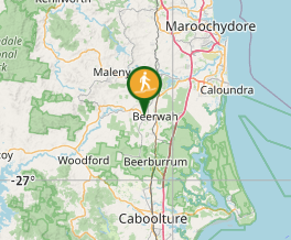
Comments