
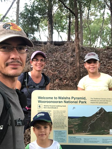
Walsh's Pyramid
Wooroonooran National Park


Menu
GPS Tracks


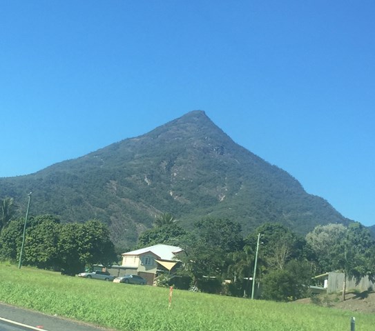
A very steep walk up the highest free standing pyramid in the world. You start at 20 metres, to the top at 884 metres.

Getting there:
Drive south of Cairns to Gordonvale along the Bruce Highway. Just south of Gordonvale you will cross the Desmond Trannore Bridge (Mulgrave River). Turn right a few hundred metres after the bridge into Moss Access Road and follow to the carpark on your left.
Maps:
Route/Trail notes:
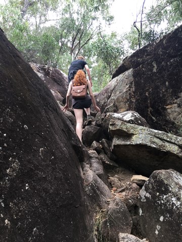
From the car park, follow the trail. Cross the service road at the start and just keep following the North ridge. This a well worn track with orange markers to help you at regular intervals. However, when crossing the open bolder area, look well ahead for your next marker. There are signposts marking each kilometre. Coming down, the track is much easier to identify.
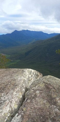
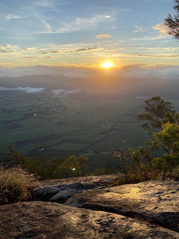
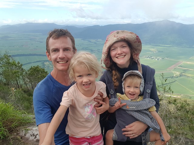
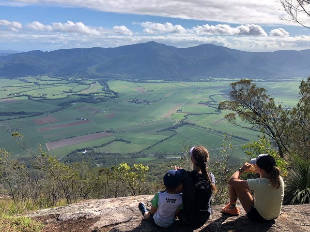
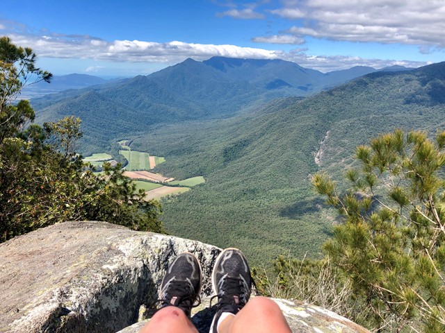
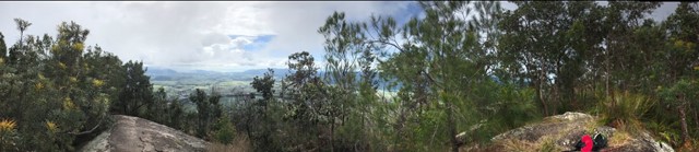
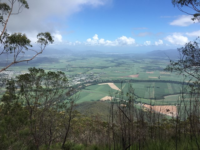
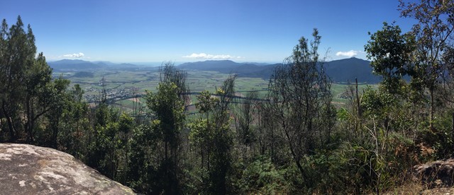
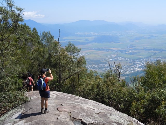
The walk is incredibly steep and relentless until you reach the peak 3.1km from the start. At about 3km there is a large boulder on the left with grand views to the north and a great place for a picnic. Slightly after the 3km mark you will come to the peak with 360 degree views.
Watch out for runners in the winter months. In August there is an annual race from Gordonvale to the peack and back, with the winners generally taking about an hour and a half. They can be seen training a lot before the race.
Permits/Costs:
None.
Other References/Comments:
https://hikingtheworld.blog/2022/03/16/walshs-pyramid-cairns/
 30 Walshs Pyramid (GPX)
 6.2
6.2 7
7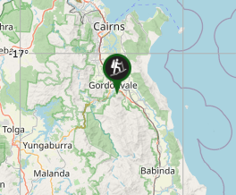
Comments