
Mt Peel Walking Tracks
Toowoomba


Menu
GPS Tracks
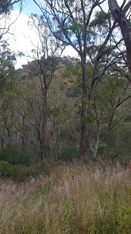

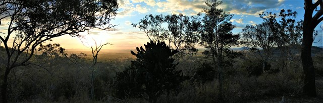

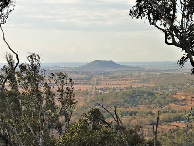
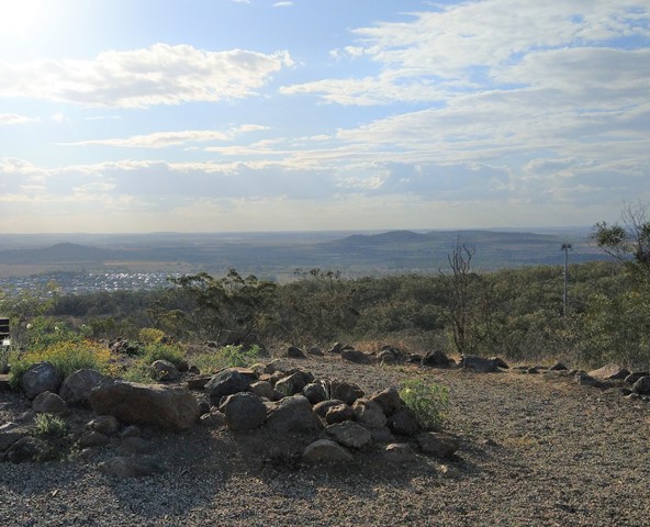
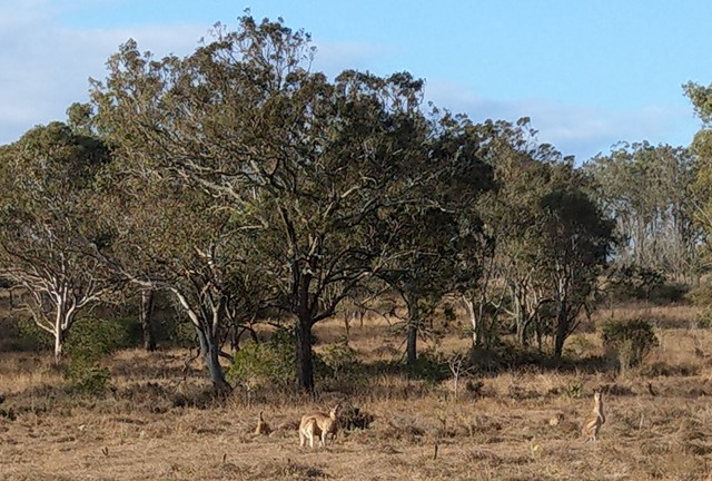
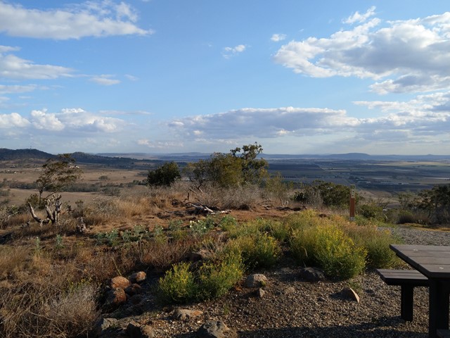
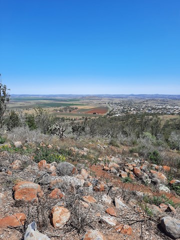
A network of walking circuits and firebreak trails through eucalypt forest. There are two main summits that include scrambling sections, and the lookout from the South Summit gives walkers 360° views of Toowoomba and its surrounds.
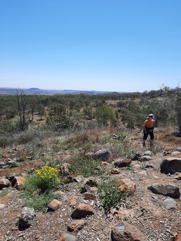
The trails at Mt Peel are officially listed as Grade 3/Medium - Grade 4/Hard (some steep inclines, rough surfaces + scrambling sections). These tracks are interesting for walkers of all ages, though a moderate fitness level is required.

Getting there:
From Toowoomba, travel south on Anzac Avenue towards Drayton. After the traffic lights at Canning St (end of the industrial area) turn right onto the slip road and continue around the bend until you see the main Mount Peel carpark on the corner of Darling St and Westminster St. The trailhead behind at the main carpark is best for Stephens Lookout, Drayton Lookout, Westbrook Lookokut and Red Ash Walking Circuit.
Best parking for the North and South summits (Ironbark Walking Circuit & Basalt Walk) is at the smaller parking area at the end of Westminster Street. Note: Do not park in front of the wooden gate - it is a turnaround area for large vehicles.
Maps:
Route/Trail notes:
The most popular Summit Walk is made up of...
-
North Summit/Ironbark Walking Circuit (1km loop/45min). Some steep sections - children would need to scramble.
-
South Summit/Basalt Walk (880m loop/45min). Includes scrambling.
-
Wombat Berry Walk (400m one way/10min). Linking track between the two main summits.
From the trailhead at the end of Westminster St, head to the right of the cement watertank to find the brown sign that leads to the North Summit. Continue straight ahead at the 4 way intersection, then turn left at the next signpost to climb to the summit. Exit carefully down the opposite side of the peak (near the picnic tables - not clearly signed). At the next signpost, turn right onto Wombat Berry Walk until you are in sight of the South Summit. Follow the brown signs and climb to the summit. Exit down the opposide side of the peak, then turn left and head up the grassy hill until you reach the firebreak. Turn right onto the firebreak, which leads directly back to the carpark.
Walkers may also choose to add-on any or all of these tracks...
-
Kurrajong Walk (600m one way/15min). Linking track between Ironbark Walking Circuit and Red Ash Walking Circuit.
-
Red Ash Walking Circuit (990m loop/30mins). Includes Westbrook Lookout. Some steep but steady inclines.
-
Drayton Lookout, Stephens Lookout + additional Firebreak Trails.
Permits/Costs:
None.
Other References/Comments:
The tracks have some improved signage (2021), but it is still easy to get confused, so would suggest you print off a map or take a photo of the information board at the start.
Some of the tracks are shared pathways with mountain bikes and horse riders.
 348 Mt Peel Summits (GPX)
 3.4
3.4 90
90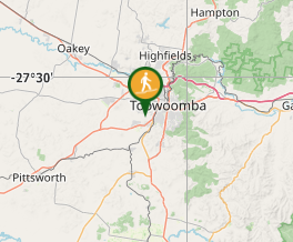
Comments