
Menu
Popular Walks
-
Amphitheatre
(80 ticks) -
Boolimba Bluff
(75 ticks) -
Moss Garden
(75 ticks) -
Art Gallery
(69 ticks) -
Big Bend
(61 ticks)
Summary
Central Queensland goes the entire length from the east coast to western Queensland.
Popular Walks
-
Amphitheatre
(80 ticks) -
Boolimba Bluff
(75 ticks) -
Moss Garden
(75 ticks) -
Art Gallery
(69 ticks) -
Big Bend
(61 ticks)
Parent Regions
Sub-Regions
History
Any interesting history for the region?
Features
Like the rest of QLD the majority of stuff to do is on the East coast. With some jumpups heading out west in the desert country.
Access
How do you get there? Include all access points if there are many?
Maps
Which maps cover the region?
Council Areas:
- Diamantina Shire
- Boulia Shire
- Winton Shire
- Barcoo Shire
- Blackall Tambo Regional
- Longreach Regional
- Barcaldine Regional
- Central Highlands REgional
- Banna Shire
- Gladstone Regional
- Rockhampton Regional
Contact details
See QLD national Parks for information
Walks in Central Queensland

 3.3
km
return
3.3
km
return
 90
mins
90
mins
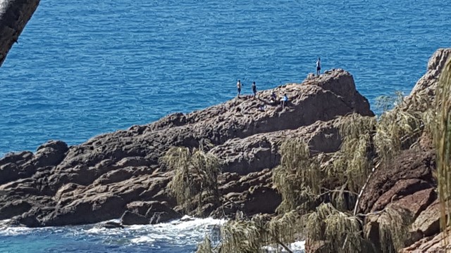
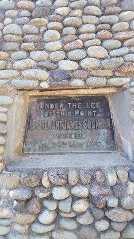
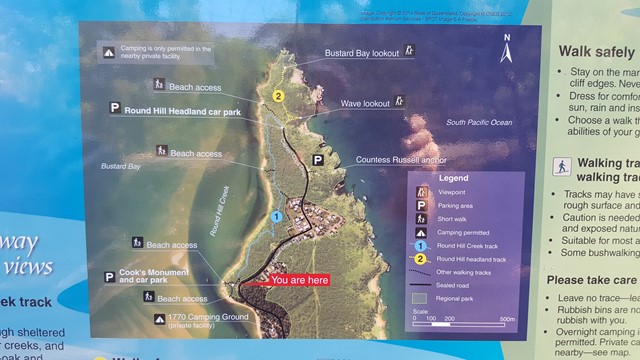
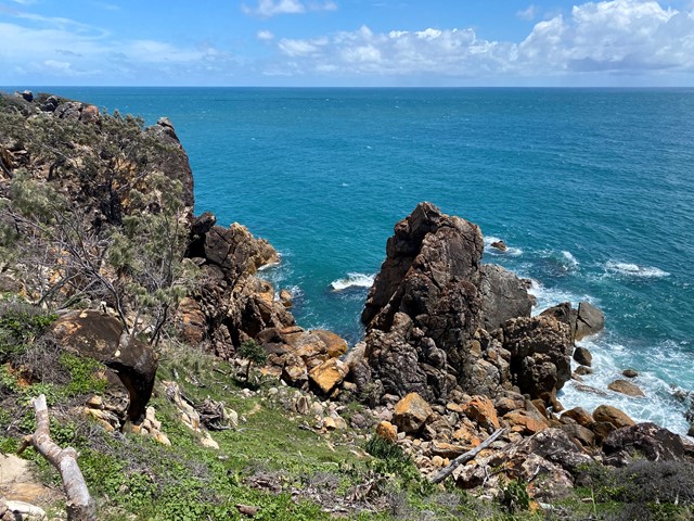
Round Hill Creek & Headland Track
This walk combines both the Creek and Headland Tracks and provides a great little stroll from Captain Cook's Landing Memorial, along the foreshore via the 1770 Butterfly Walk to Round Hill's Bustard Bay and Wave Lookout's with splendid views in all directions.
It's worth planning for a swim along the calm shoreline of Round Hill Creek. Look out for the Blue Tiger Butterflies especially in autumn.
 1
km
return
20
mins
1
km
return
20
mins
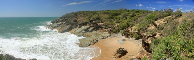
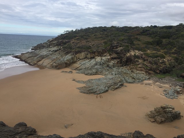
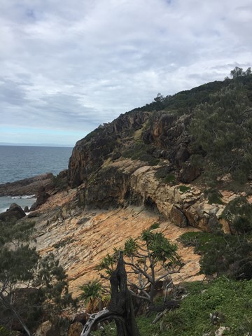
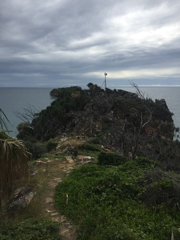
Round Hill Headland Track
This walk is situated in the Joseph Banks Conservation Park where you can absorb panoramic views from the tip of the headland. Coastal beach scrub closes around you and partly shades the track. A viewing platform offers distant views to Bustard Bay. As well as wave lookout which looks over a small rock bay.
 2
km
1
hr
2
km
1
hr
Scrammy Lookout
This walk is part of the Bladensburg National Park and allows you see the big sky, and lots of sand and very little vegetation sandstone ranges and flat top mesas... Skull Hole, is a waterhole in the park where an aboriginal massacre known as the Bladensburg Massacre took place
3.4
km
return
1
hr
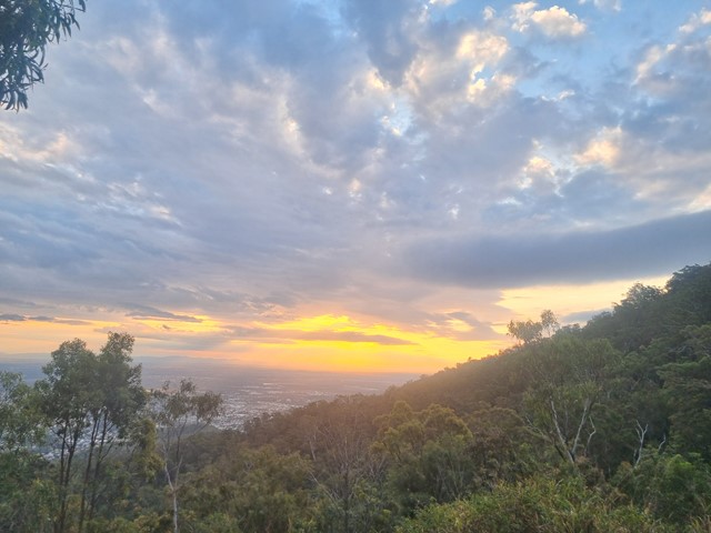
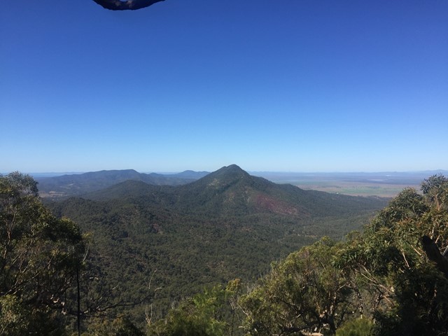
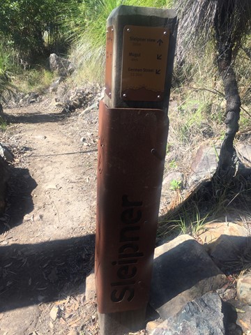
Sleipner Lookout Walk
From Nurim summit, the Zamia walk winds down through a landscape of lemon-scented gums, pink bloodwoods and forest she-oaks to Sleipner. On the way, enjoy the cool sea breeze off the Capricorn Coast and a glimpse of the Fitzroy River. From Sleipner there are panoramas of Waaruin (the Berserker Range) on offer. Remember, the return walk to Nurim summit is uphill and can be a challenge.
 400
m
return
30
mins
400
m
return
30
mins
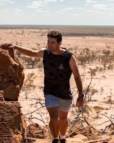
Starlight's Lookout
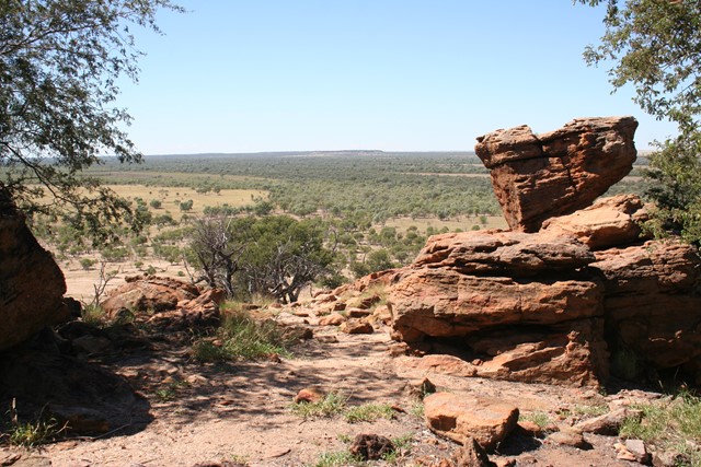
Steeped in history and made famous by Australia's most well known cattle-duffer Harry Readford, the spectacular outback landscape stretches out before you. This outcrop (mesa) in the middle of nowhere gives you a panoramic 360° view of the desolate flatness of outback Queensland.
 4.5
km
return
90
mins
4.5
km
return
90
mins
Thompson River Floodplain Walk
This walk in Longreach is from town to the Thompson River through the floodplain along a disused road. The end of the walk is then along a current road and takes you to the Thomson River. Return via the same path.
5.92
km
one-way
89
mins
Tondoon Walk
Combines the Tondoon Botanical Gardens, the bush near Police Creek and Mt Biondello.
 15
km
one-way
5
hrs
15
km
one-way
5
hrs
Zamia Walk
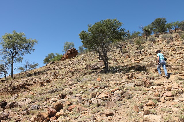
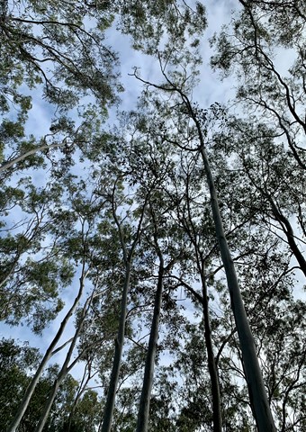
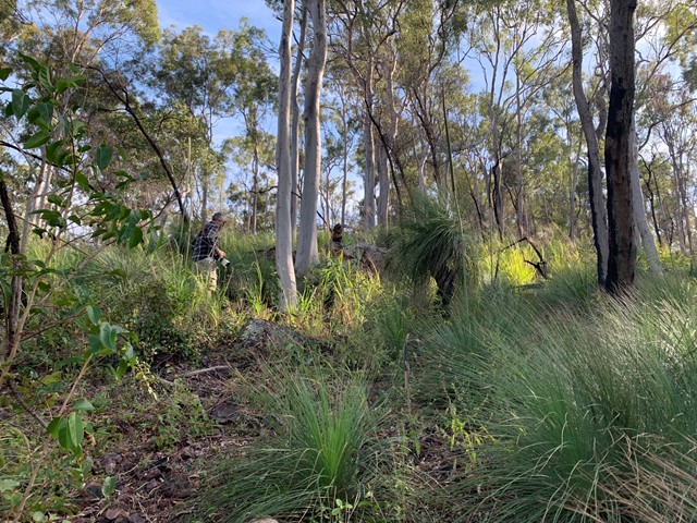
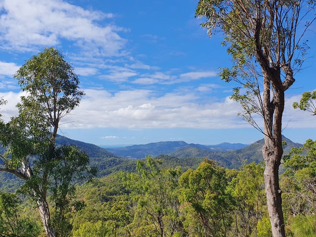
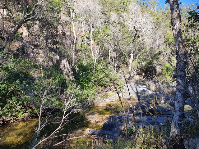
Start walk from German Street car park which is unsigned. The trail begins from the carpark heading east behind the houses with creek on right-hand side. At end of housing estate is a creek crossing and sign for the park. Walk another 1-2 km until you reach another park sign and a metal post indicating the start of the walk. The path is well defined throughout although overgrown in parts. For the next 6km the path will hug the side of Moores Creek with multiple creek crossings. Take care not to lose the path when crossing the creek in the upper reaches. There is also a nice forest to walk through before the main ascent starts which has a lot vegetation when climbing the side of the mountain. Once you lose the main branch of the creek (about 7-8km) the trail will begin to ascend the mountain and cross some smaller branches of the creek with small waterfalls. The trail will then reach a ridge and subsequent lookout point with grass trees all around and view of the Beserker Ranges. The ascent is then quite easy from this point on with plenty of opportunities to take a break with rest chairs available. The walk can be frustrating at time as it follows the creek right around the base of mountain before it commences an ascent. It also has multiple minor ascent and decents on the base of the mountain which hug the creek. You think you are going to ascend only to find another creek crossing. The creek is usually flowing and very clear giving you the opportunity to fill your water bottle up at refresh at various stages before the full ascent commences. The trail is also very rocky in parts when following the creek so a high degree of care must be taken not to roll an ankle. This a challenging and sometimes demanding hike so leave plenty of time to complete. Their are plenty of signs to help you find the way from the middle section of the hike onwards which help hikes descending. Take plenty of water for this hike as it is a very humid climate. Parks recommend this climb as descent only. It is also deemed a one-way trail.
Walks in Blackdown Tableland National Park
3.6
km
return
1
hr
Goodela
This track follows the escarpment as you near Yaddamen Dhina lookout. It winds through eucalypt forest. Notice the vegetation change as you approach the creek, where delicate ferns and mosses thrive. Watch for bird life in the surrounding bush as you stop and rest at the track's end.
2.5
km
return
1
hr
Goon Goon Dhina
The track starts from the Munall campground and begins with an easy walk past old cattle yard ruins, then follows Mimosa Creek upstream to a Ghungalu art site. Signs along this track offer insights into the park's history. Learn how Ghungalu people used plants for food and shelter.