
Menu
Popular Walks
-
Simpsons Gap
(29 ticks) -
Standley Chasm
(23 ticks) -
Ormiston Gorge and Pound
(15 ticks) -
Mount Sonder
(10 ticks) -
Larapinta Trail
(8 ticks)
Parent Regions
Popular Walks
-
Simpsons Gap
(29 ticks) -
Standley Chasm
(23 ticks) -
Ormiston Gorge and Pound
(15 ticks) -
Mount Sonder
(10 ticks) -
Larapinta Trail
(8 ticks)
Parent Regions
Walks in West MacDonnell National Park

 1.8
km
return
1.8
km
return
 45
mins
45
mins
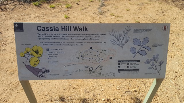
Cassia Hill
This walk gives excellent elevated views of the range and Simpsons Gap area. The walk illustrates local plants and a self-guided walk sheet is available.
 800
m
return
30
mins
800
m
return
30
mins
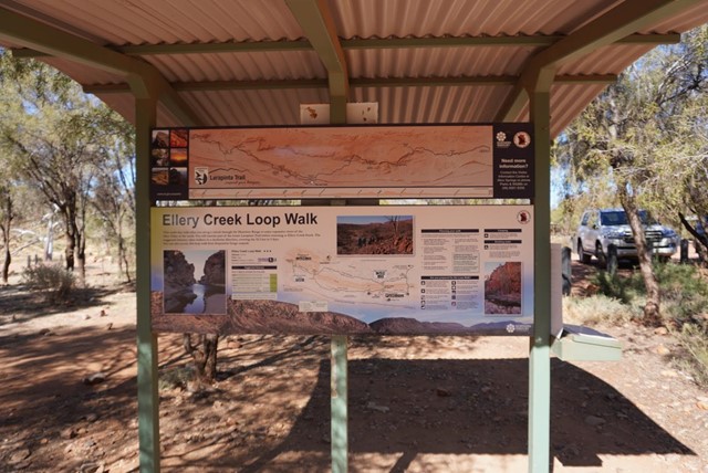
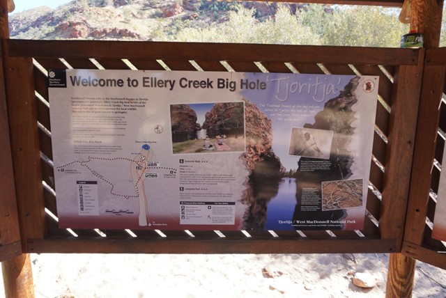
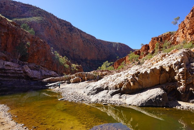
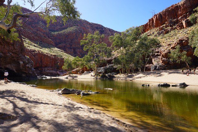
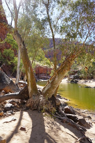
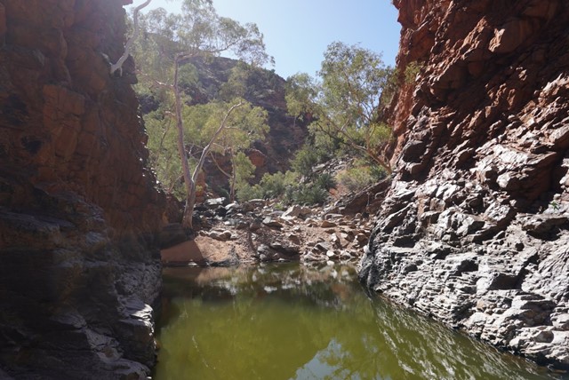
Ellery Creek Big Hole
Ellery Creek Big Hole is a spectacular waterhole in the mighty Ellery Creek, which cuts through a gorge in the West MacDonnell Ranges. Thousands of years of massive floods have carved out this beautiful waterhole and unlocked some amazing geology.
 223
km
17
days
223
km
17
days
Larapinta Trail
223km hike from Alice Springs to Redbank Gorge or vice versa along the West MacDonnell Range.
 14.1
km
return
4
hrs
14.1
km
return
4
hrs
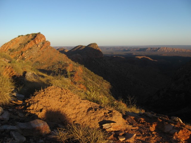
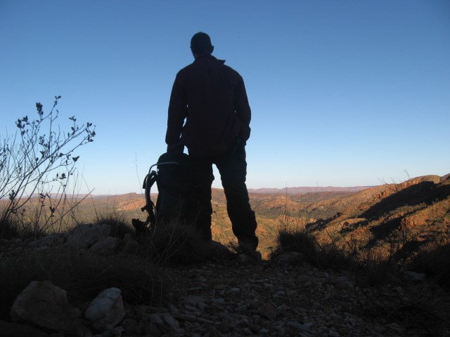
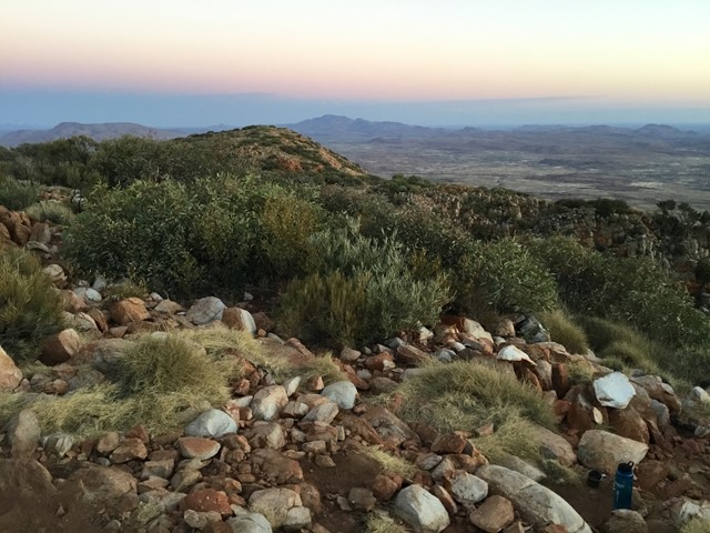
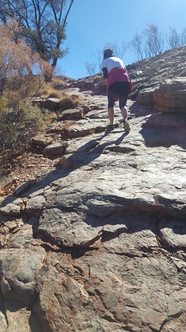
Mount Sonder
Great Views - Highly recommended!
Just over 14km return from the car park.
Well worth the hike to the summit for sunrise, well maintained track with reflective markers.
Steep steps approx 1km from the carpark. Once pass the 3km marker ground is relatively flat with gradual incline.
Good rest spot Approx 5.5km, caution required when approaching in windy conditions or at night exposed steps.
Return via same track, very little shade on return and temperatures can vary rapidly. To avoid heatstroke pack plenty of water and a hat. In colder months warm layers of clothing and wind proof jackets are a must!
 1.4
km
return
30
mins
1.4
km
return
30
mins
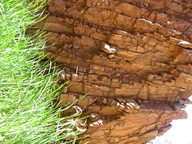
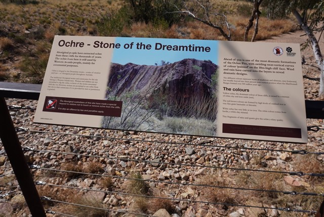
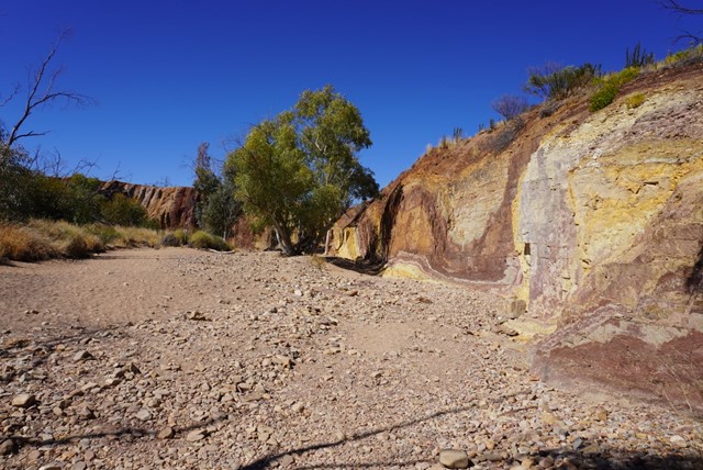
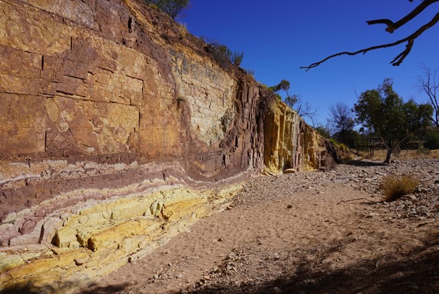
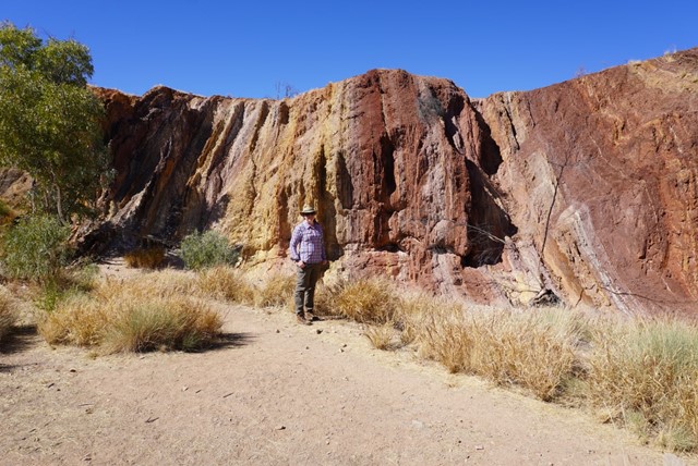
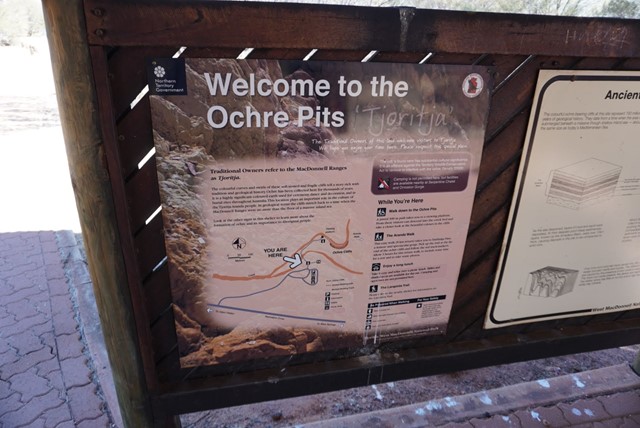
Ochre Pits
A colourful outcrop of ochre on the banks of a sandy creek. Ochre has always been an important part of Aboriginal culture and a vital part of everyday life. For medicinal purposes red ochre can be mixed with grease and applied as an ointment and to relieve congestion when mixed with eucalyptus leaves. White ochre was used as a magical charm, when mixed with water and blown from the mouth it is believed to abate the heat of the sun or the force of the wind. Weapons were painted with ochre to increase the success of hunting. It also protected the wooden weapons from termites.
 7
km
return
3
hrs
7
km
return
3
hrs
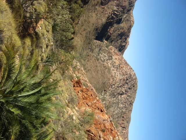
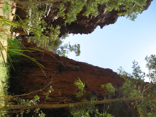
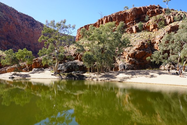
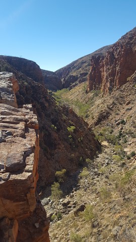
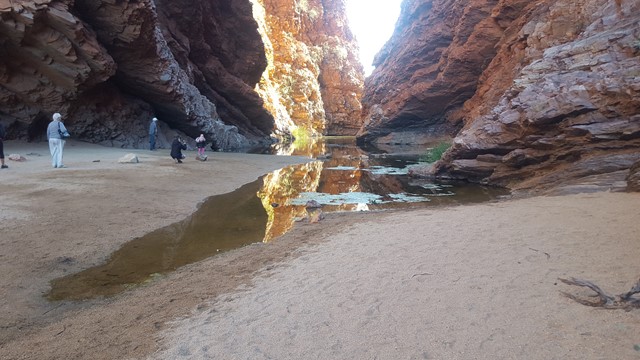
Ormiston Gorge and Pound
This walk is not as tough as is made out. It's basically a big loop through the desert leading into the back of Ormiston Gorge. Obviously the time of year makes a difference as summer would be very hot. The majority of people on the track appeared to have guides but it's a very good walk to do solo (if you can find five minutes without fellow walkers!). The views of the MacDonnells are spectacular and the entry into the back of the gorge a delight. I felt much more a part of it than standing on the viewing platform. If you want a walk within 150 km of Alice, this is a good one!
 2
km
return
90
mins
2
km
return
90
mins
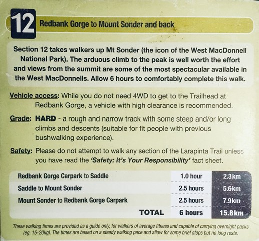
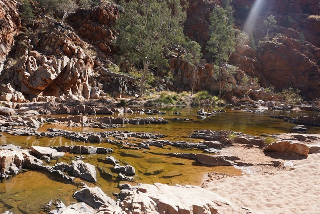
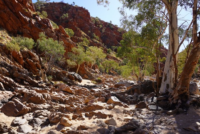
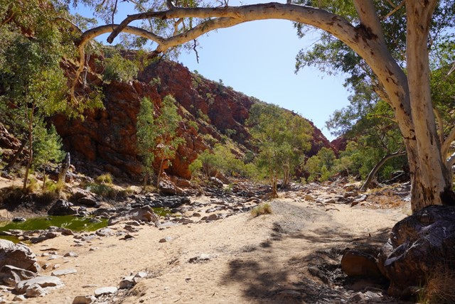
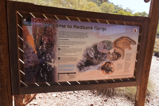
Redbank Gorge
A grade 3 - moderate 2 km, 1.5 hour return walk from the carpark alongside the creekbed will lead visitors to Redbank Gorge. The walk is unmarked but starts on a well defined track before dropping into the sandy creek bed. On a warm day walking in the sand is tiring and visitors should take and drink plenty of water. The track is rocky at times and care should betaken when walking.
Section 12 of the Larapinta Trail starts and finishes at the Redbank Gorge Carpark. Walkers can choose to enjoy the views at the Mt Sonder Lookout and return (5 km, 2.5 hours, includes steep sections of stone steps). Walkers also have the option to start or finish Section 11 of the Trail from this point. Both of these Sections are graded 3/4 - moderate to difficult and should only be attempted by fit people with previous bushwalking experience.
 2.8
km
return
1
hr
2.8
km
return
1
hr
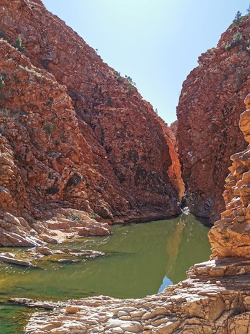
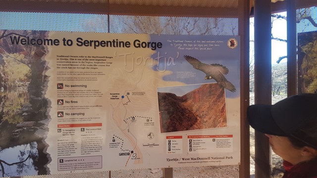
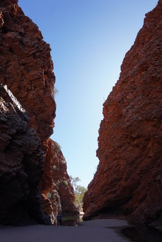
Serpentine Gorge Lookout
Serpentine Gorge is a sacred site to Western Arrernte Aboriginal people, who call it Ulpma.
The Dreaming Story of the Carpet Snake and this place is associated with an Eaglehawk ancestor, the full story of which can only be told to initiated Aboriginal men.
 2.3
km
return
45
mins
2.3
km
return
45
mins
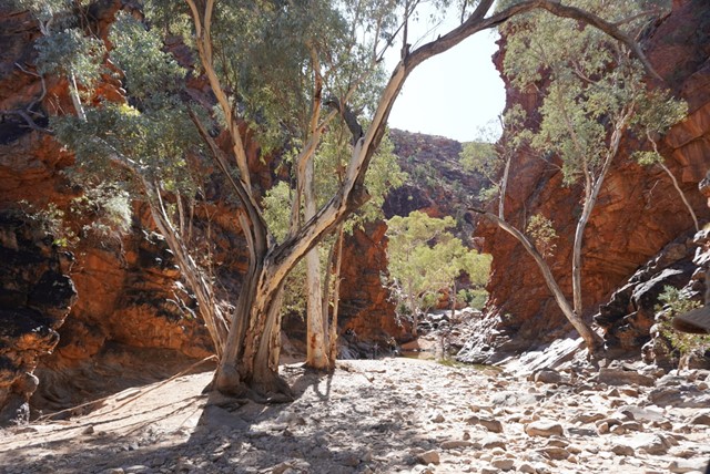
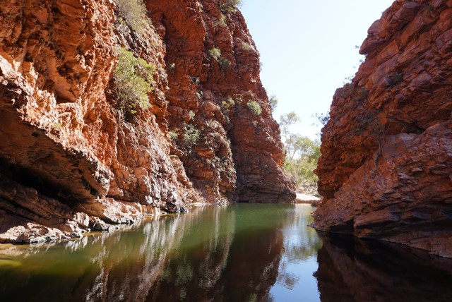
Serpentine Gorge Waterhole
Serpentine Gorge is a sacred site to Western Arrernte Aboriginal people, who call it Ulpma.
The Dreaming Story of the Carpet Snake and this place is associated with an Eaglehawk ancestor, the full story of which can only be told to initiated Aboriginal men.
 1
km
return
30
mins
1
km
return
30
mins
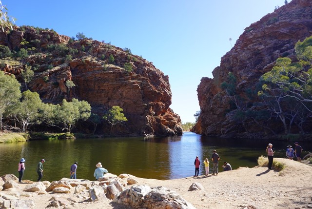
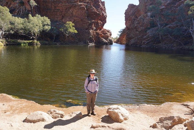
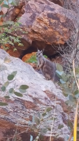
Simpsons Gap
A number of scenic gaps pierce the West MacDonnell Ranges, one of which is Simpsons Gap; site of one of the most prominent waterholes in the region. The area is an important spiritual site to the Aranda Aboriginal people, where several dreaming trails and stories cross. At dawn or dusk Simpsons Gap is renowned as a place to see Black-footed Rock-wallabies along the gap's short walking track. Good examples of many of the vegetation communities of the MacDonnell Ranges are found in the Simpsons Gap area, including large stands of Mulga, and the area around the gap is a major stronghold for some of the rare and relic plants of the region.