
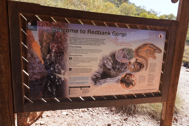
Redbank Gorge
West MacDonnell National Park


Menu
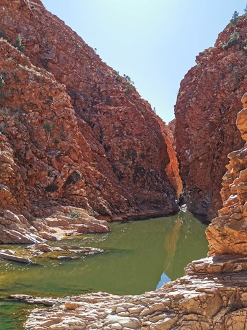
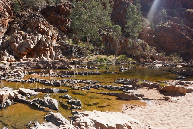
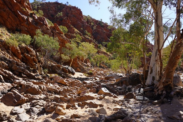
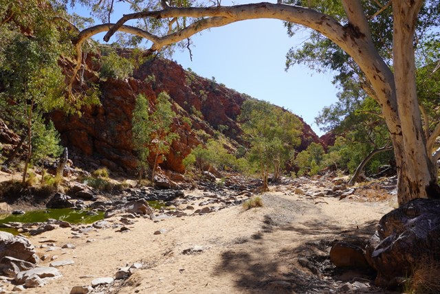
A grade 3 - moderate 2 km, 1.5 hour return walk from the carpark alongside the creekbed will lead visitors to Redbank Gorge. The walk is unmarked but starts on a well defined track before dropping into the sandy creek bed. On a warm day walking in the sand is tiring and visitors should take and drink plenty of water. The track is rocky at times and care should betaken when walking.
Section 12 of the Larapinta Trail starts and finishes at the Redbank Gorge Carpark. Walkers can choose to enjoy the views at the Mt Sonder Lookout and return (5 km, 2.5 hours, includes steep sections of stone steps). Walkers also have the option to start or finish Section 11 of the Trail from this point. Both of these Sections are graded 3/4 - moderate to difficult and should only be attempted by fit people with previous bushwalking experience.

Getting there
Redbank Gorge is located 156 km west of Alice Springs. Access is via Larapinta and Namatjira Drives, both sealed roads. The 5 km access road from the Redbank Gorge turnoff to Redbank Gorge is unsealed and a high clearance vehicle is recommended. All roads can be impassable for a short period after heavy rain.
Maps
Which maps cover the area?
Route/Trail notes
A detailed description of the walk!
Permits/Costs
Do you need any permits? What's the cost?
Other References
How can I find more info? Any guide books?
GPS Tracks
- No GPS available for this walk yet.
 2
2 90
90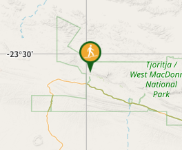
Comments
Nobody has commented on this walk yet. If you've done it then tick it off and add a comment.