
Menu
Popular Walks
-
Hooker Valley Track
(20 ticks) -
Tongariro Alpine Crossing
(17 ticks) -
Milford Track
(14 ticks) -
Kepler Track
(13 ticks) -
Routeburn Track (At least to Harris Saddle and back)
(12 ticks)
Popular Walks
-
Hooker Valley Track
(20 ticks) -
Tongariro Alpine Crossing
(17 ticks) -
Milford Track
(14 ticks) -
Kepler Track
(13 ticks) -
Routeburn Track (At least to Harris Saddle and back)
(12 ticks)
Walks in North Island NZ

 1.4
km
return
1.4
km
return
 45
mins
45
mins
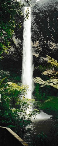
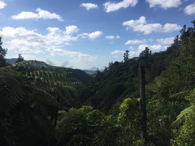
Bridal Veil Falls
Bridal Veil Falls (Māori name Wairēinga Falls) is a plunge waterfall located along the Pakoka River in the Waikato area. The waterfall is 55m high and has over time caused the formation of a large pool at the base of the waterfall.
 7
km
return
6
hrs
7
km
return
6
hrs
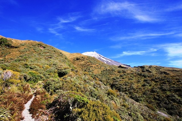
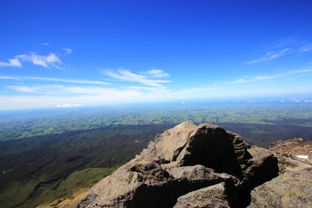
Fanthams Peak
http://www.doc.govt.nz/parks-and-recreation/places-to-go/taranaki/places/egmont-national-park/things-to-do/tracks/dawson-falls-tramping-tracks/
 334
m
return
15
mins
334
m
return
15
mins
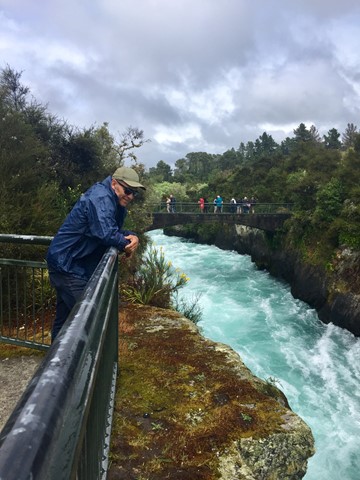
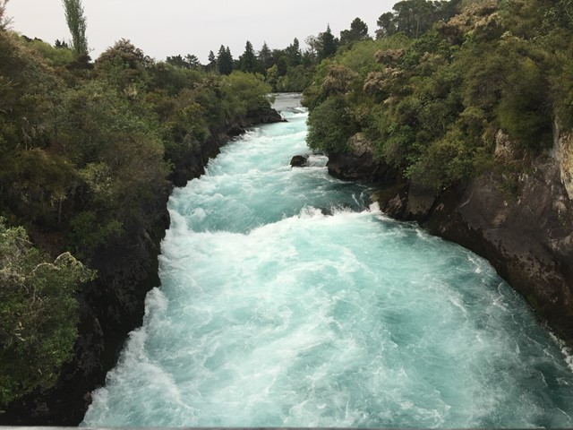
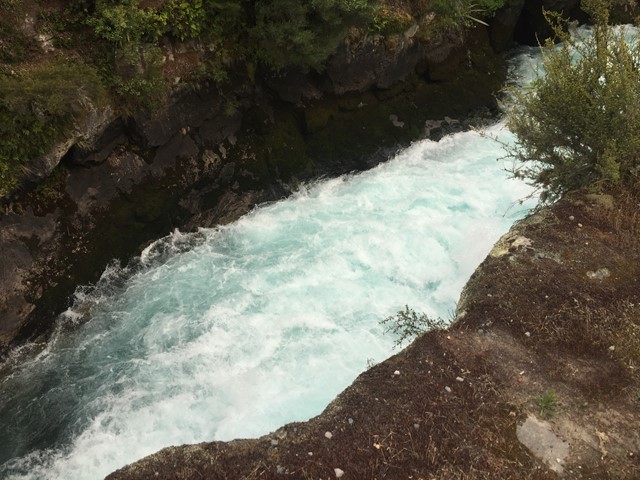
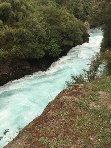
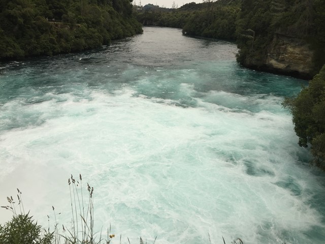
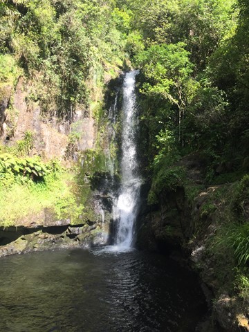
Huka Falls Lookout Walk
A short walk to views of the powerful Huka Falls which could fill 5 Olympic swimming pools a minute with its flow. The falls vary from 7m to 9.5m and are situated on the Waikato River which is the longest river in New Zealand and the only river to drain Lake Taupo.
 1
km
return
45
mins
1
km
return
45
mins
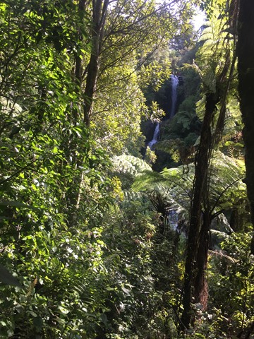
Kaiate Falls (Te Rerekawau)
A walk along Kaiate Stream to see multiple waterfalls and views of Mt. Maunganui out across the valley.
 14
km
return
7
hrs
14
km
return
7
hrs
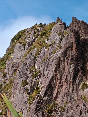
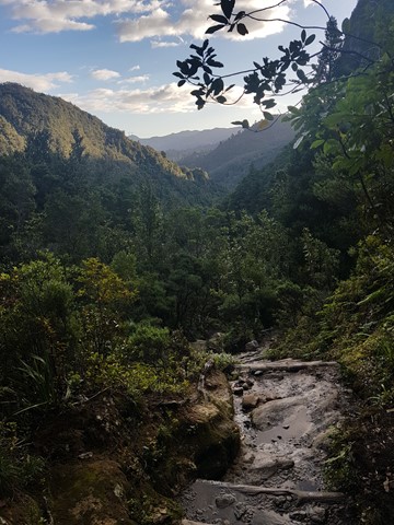
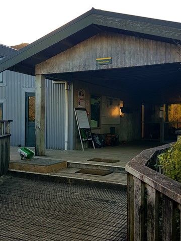
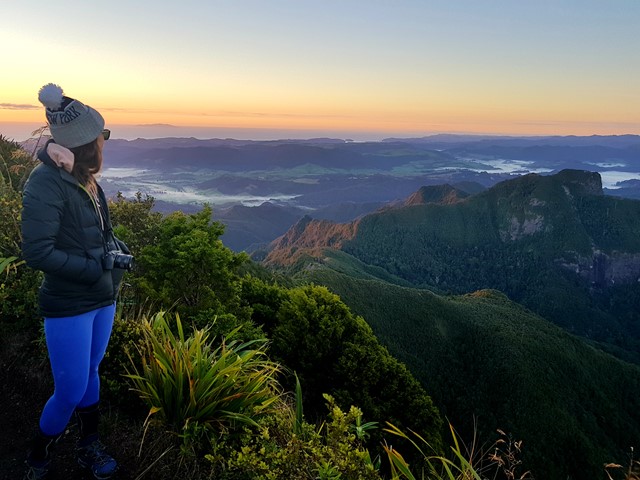
Kauaeranga Kauri Trail - Pinnacles Walk
Moderate 2.5-3 hour climb (one way) through the stunning Kauaeranga Valley to the Pinnacles Hut.
The summit is a further 45 minutes from here. You can do an over night stay at the hut and complete the summit at sunrise (recommended).
Follow the gravelled path and staircase. From here you will have to do some scrambling and negotiate a few metal ladders along with metal rungs to get to the top and take in the stunning views.
Once you've soaked it all in, return to the hut, pick up your pack and head back down. You can return via the
Webb Creek Track or Billygoay track with the former being the shorter route.
The tracks are well marked and impossible to lose.
 5.5
km
return
90
mins
5.5
km
return
90
mins
Lake Tikitapu (Blue Lake) Walking Circuit
A walking circuit around a lake in the Rotorua region.
 46
km
one-way
3
days
46
km
one-way
3
days
Lake Waikaremoana
Trace the shoreline of Lake Waikaremoana, the ‘sea of rippling waters’, through giant podocarp rainforest, remote beaches and rugged mountains with stunning views.
800
m
return
20
mins
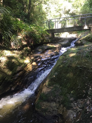
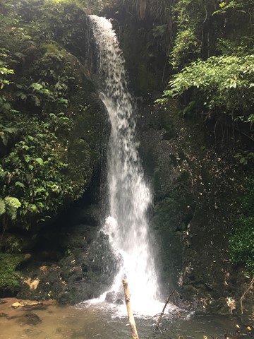
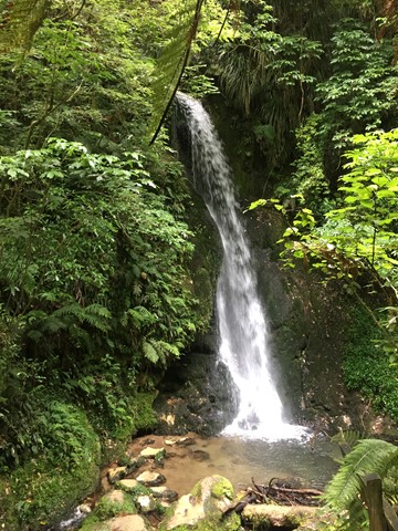
McLaren Falls Park Waterfall Track
A short walk in McLaren Falls Park which takes you to Marshall's Falls and there are some overhangs that house glow worms on the right hand side of the creek when looking upstream.
 4
km
return
2
hrs
4
km
return
2
hrs
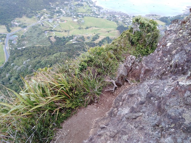
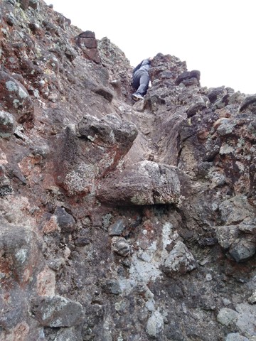
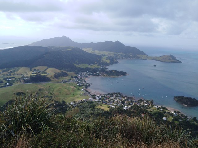
Mount Manaia
A steady walk with a lot of stairs to the lookout near the top of Mount Manaia. Very distinctive mountain with massive rock pillars on top of it. There is a rough track leading to the furthest pillar which you can climb up.
 1.9
km
one-way
45
mins
1.9
km
one-way
45
mins
Mount Victoria to Mount Alfred via Hobbit's Hideout
Go to both the scenic lookout and trigpoint of Mount Victoria (196m) then follow the forest ridge of the Wellington town belt to Mount Alfred (133m) the site of the Te Akatarewa Pa. With the detour to the Hobbit's Hideout a LotR film location along the way the walk will be 1.9kms one way. A straight return is about 1km.