
Menu

 2
km
one-way
2
km
one-way
 30
mins
30
mins
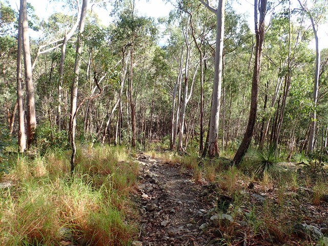
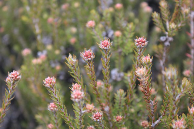
Panorama Track
One of the many trails of Mt. Wellington that will lead you to the summit. This one is not particularly exciting, but if you happen to take the Organ Pipes track instead of Zig Zag, you can still summit using this trail.
 15
km
return
11
hrs
15
km
return
11
hrs
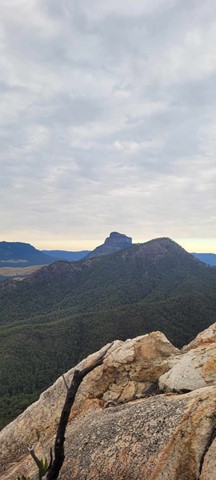
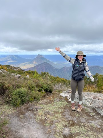
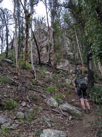
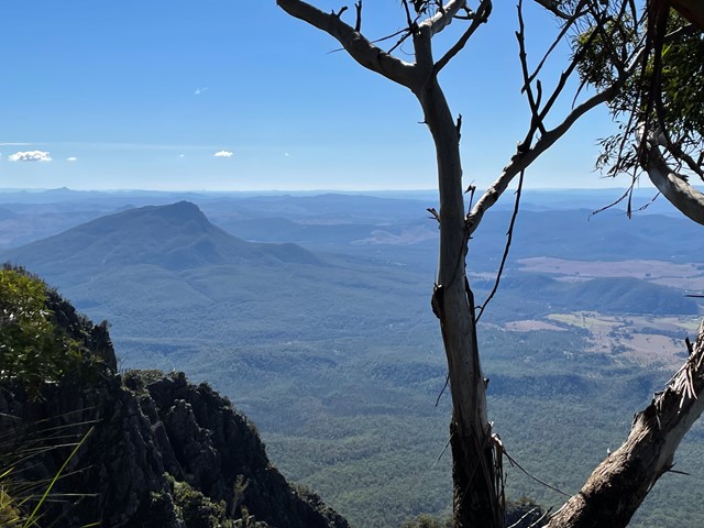
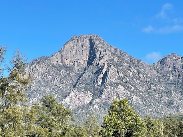
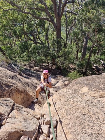
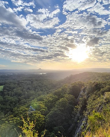
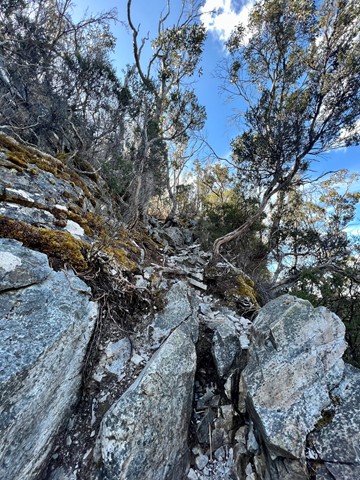
Mount Barney South East Ridge
Big day on the mountain. Up and back down the SE Ridge.
Well worth all the aches and pains.
 1
km
return
15
mins
1
km
return
15
mins
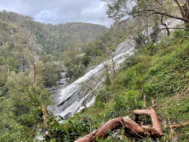
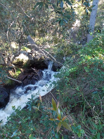
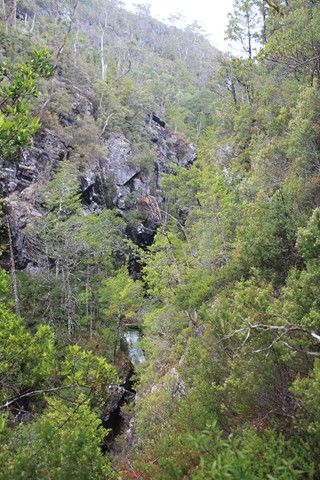
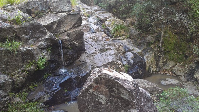
Undercliffe Falls
Undercliffe Falls is a waterfall located on the Bookookoorara Creek in northeast New South Wales.
Undercliffe Falls is estimated between 140m and 160m high. This estimate is based on analysis of the topographic profile around the waterfall and may not be an accurate figure for the total fall of water seen if viewing the falls.
The nearest populated town of Stanthorpe, with shops, wineries, accommodation etc etc is 23km away, via Amosfield Road. The nearest sealed road to Undercliffe Falls is the Mount Lindesay Highway (7.59km away). The turnoff, to Rivertree Road is located in the small village of Liston. The entrance to Undercliffe Falls is from Rivertree Rd and is signposted. You travel through farmland. Camping & coffee etc is available at Aloomba Lavender on the northern side of Liston. Liston has holiday accommodation and Liston hall (with bar) is often open on Fridays and some public holidays.
Care should be taken near the top of the waterfall, as a fall would be easy.
Mobile phone reception is patchy. Telstra is best so far. A public phone is available in Liston.
Public toilets are also in Liston (cleaned by local volunteers).
 800
m
return
40
mins
800
m
return
40
mins
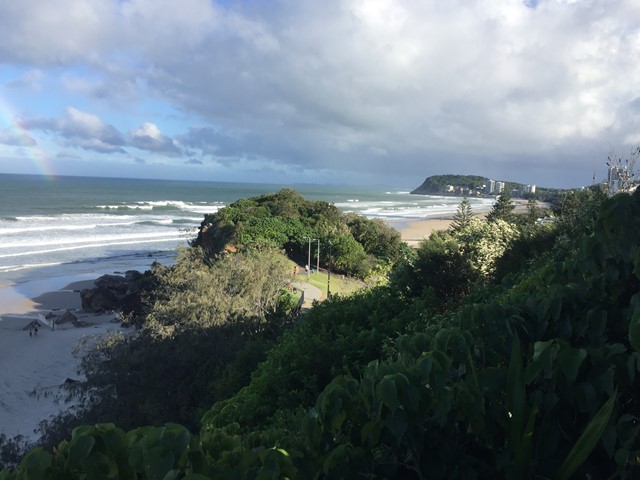
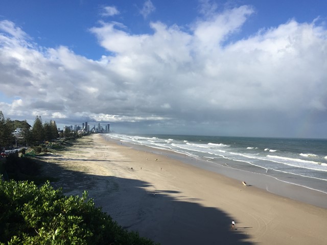
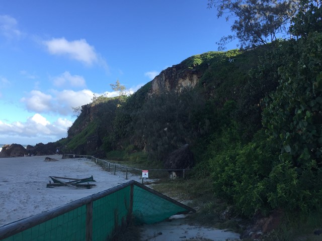
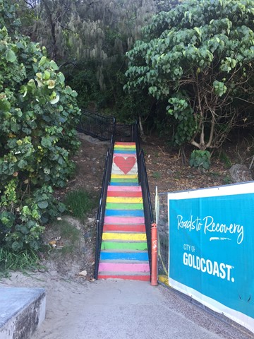
South Nobby Headland
A walk on South Nobby Headland also referred to as Little Burleigh or North Burleigh Headland which is within Mick Schamburg Park . The walk links to Miami Beach via Don Macsween Park and North Burleigh Beach via Ed Hardy Park while enjoying many lookout points with views North to Surfers, East to the Pacific Ocean, South to Burleigh Heads and West to the Gold Coast Hinterland. As well as traversing the Miami Rainbow Stairs.
 7.2
km
one-way
7
hrs
7.2
km
one-way
7
hrs
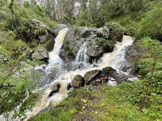
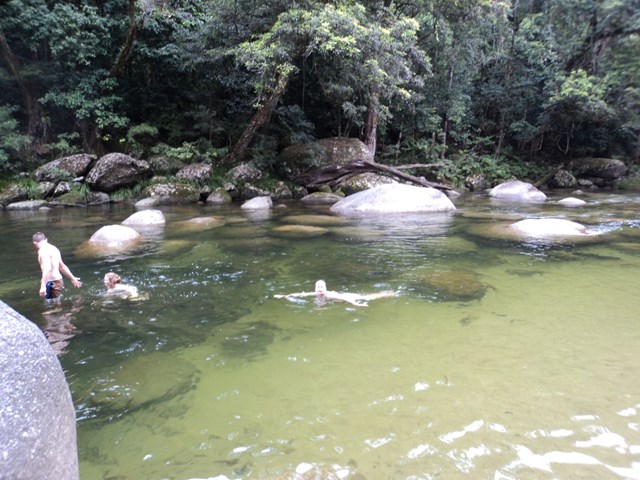
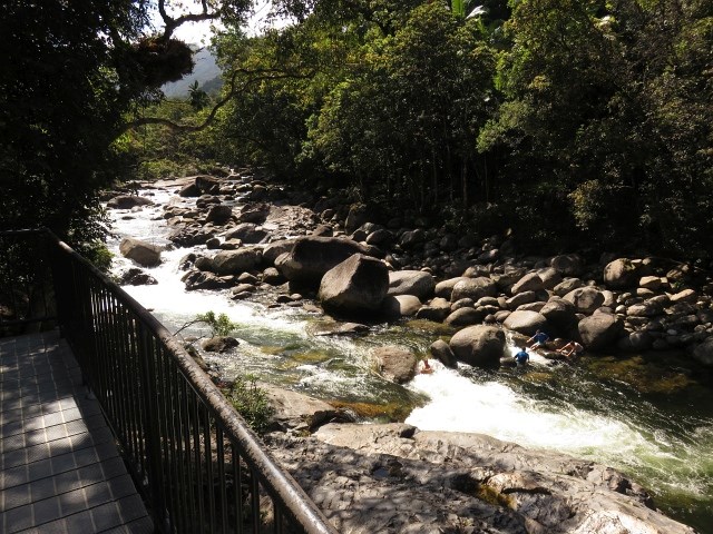
Salisbury Waters Track
A walk from Dangars Falls in Oxley Wild Rivers National Park to a water hole downstream.
 1.1
km
one-way
1
hr
1.1
km
one-way
1
hr
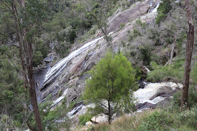
Rock Wallaby Lookout
Easy walk through some of the best lookouts for Dangars Falls. Not to be confused with Dangars Falls in Dorrigo, NSW.
4.2
km
return
3
hrs
Coongara Rock
I have found this gem a challenging summit but only because the two times I have been up has been off-track. There is a track but I haven't been on it all the way. Awesome views of over Mt Walsh National Park and also west towards Coalstoun Lakes. Certainly some steep rocky sections and would not advise if wet or inexperienced.
 9.2
km
return
2.5
hrs
9.2
km
return
2.5
hrs
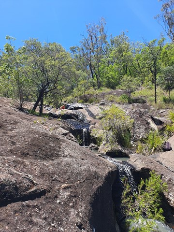
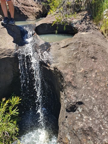
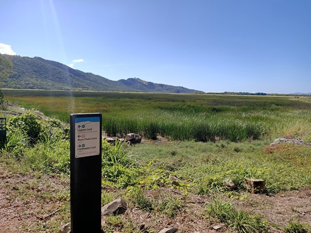
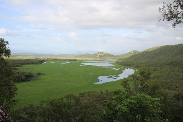
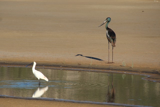
Lagoon Circuit
An outstanding walk for exercise, bird-watching, or just taking in the expansive views across the wetlands of the Townsville Town Common. Combining the Lagoon Trail and the Freshwater Trail allows you to circumnavigate the freshwater lagoon. There are excellent opportunities for viewing both wetland birds (Brolgas are frequently seen), and open forest birds. Part of the Freshwater Track traverses the top of an old earthen dam through the centre of the wetlands. The track is mostly flat and does not involve any climbing. The route is a shared walking/cycling track, and is mostly open with good visibility. Winter months, and mornings and afternoons are best.
 10.3
km
return
3.5
hrs
10.3
km
return
3.5
hrs
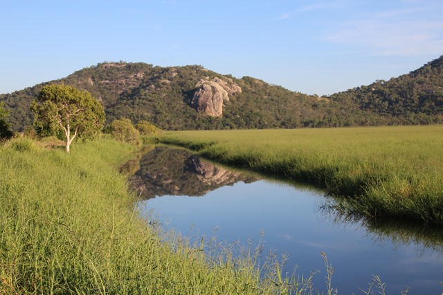
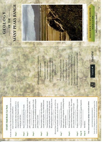
Mt Marlow
Excellent walk for the views, traverses open forests and semi-deciduous vine thickets along the side of the peaks. The summit of Mt Marlow provides superb 360 degree views of the wetlands and coastline. You can complete a circuit by returning via the Lagoon Trail or the Freshwater Trail through the wetlands. These trails provide excellent opportunities for viewing wetland birds.
Only the middle sections of the Many Peaks Track are considered hard. The other sections are medium, and the Lagoon and Freshwater Trails are easy shared bicycle/walking trails. Mosquitoes can be a problem at certain times of the year, so bring some repellent. Winter is the best season. Refer to the track notes below.
 1.5
km
return
40
mins
1.5
km
return
40
mins
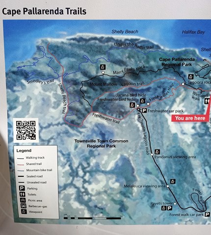
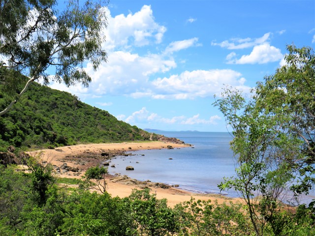
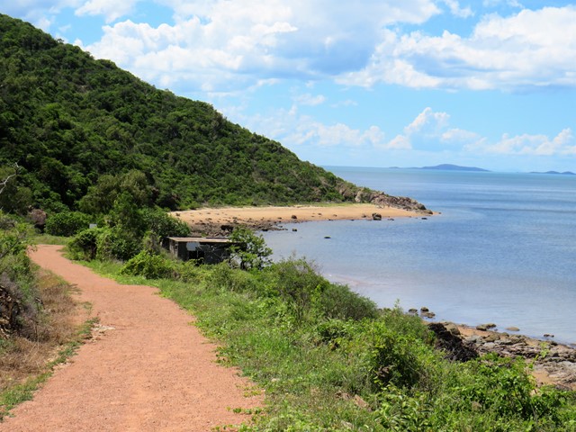
Shelly Cove Trail
A beautiful coastal walk through Cape Pallarenda Conservation Park to Shelly Cove, 1.5km return overlooking Cleveland Bay and across to Magnetic Island.
 4
km
return
7
hrs
4
km
return
7
hrs
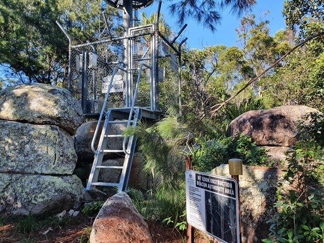
Mt Cook
A difficult bushbash to the top of the highest mountain on Magnetic Island.
 4.3
km
return
90
mins
4.3
km
return
90
mins
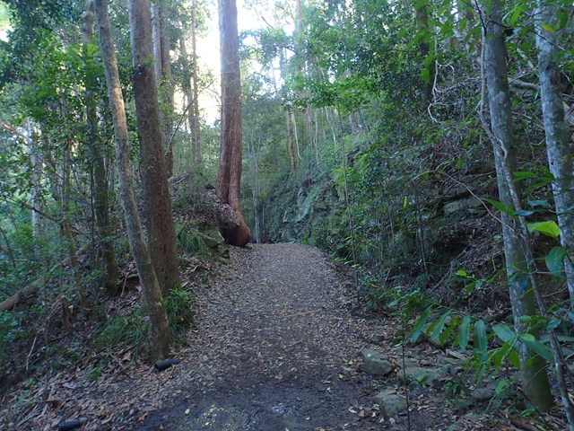
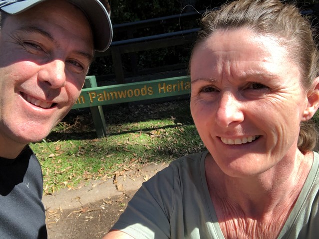
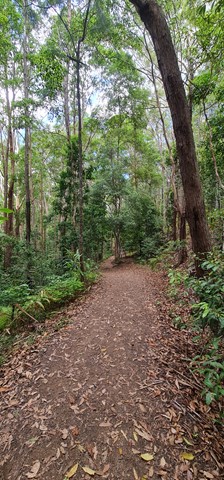
Buderim Tramway Track
Take a walk back in time as you follow the track of the old Buderim to Palmwoods Tramway, with various information points along the way. It will transport your mind back to a time where this active rail connection was the spine of a growing community. At the same time, the setting is beautiful with a natural environment that boasts towering trees, small mosses, and fern gullies.
 500
m
return
30
mins
500
m
return
30
mins
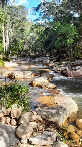
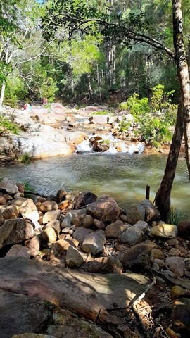
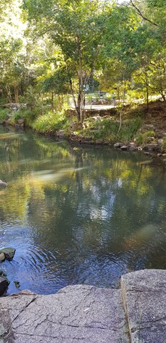
Mothar Mt Rock Pools
This is a pretty little walk you can take whilst visiting the rock pools at the junction of Boulder Creek and Woondum Creek. It's only 500m long and is a great little nature walk for the family. Be aware that even though it is graded 'easy', the creek has to be crossed and care should be taken with little ones that they don't slip on the rocks.
 1
km
return
45
mins
1
km
return
45
mins
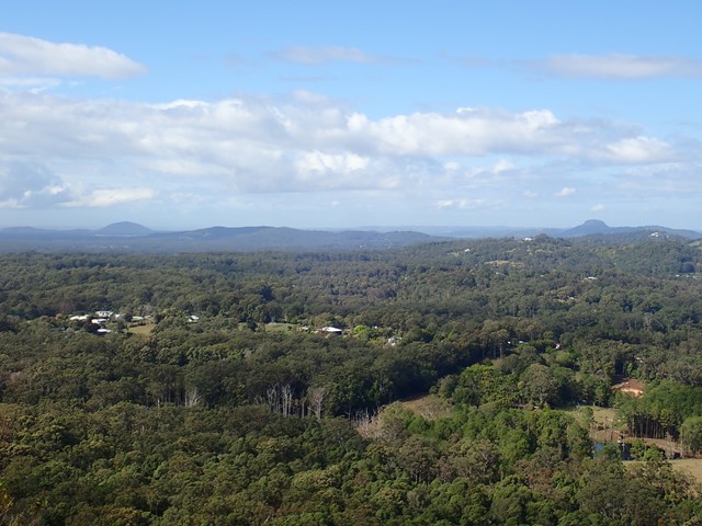
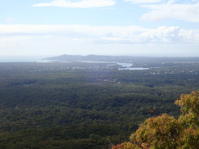
Mt Tinbeerwah
An easy walk to the fire tower, which provides wonderful 360° views from the north of the Sunshine Coast.
 2.5
km
return
1
hr
2.5
km
return
1
hr
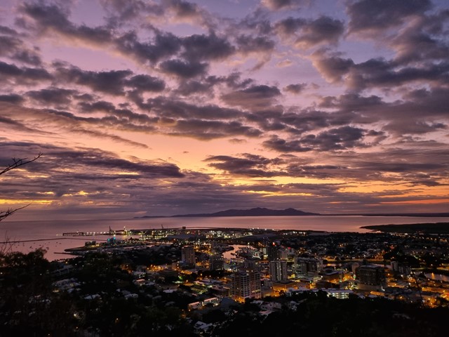
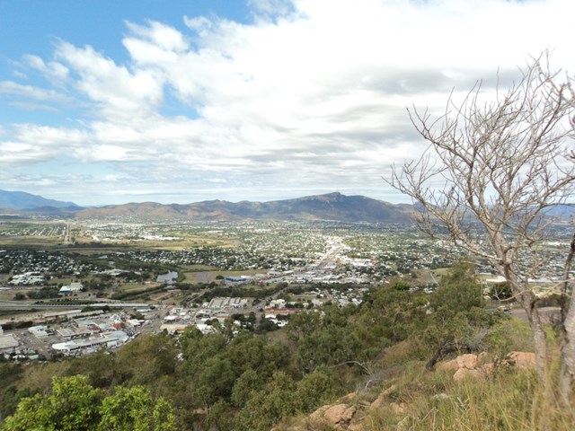
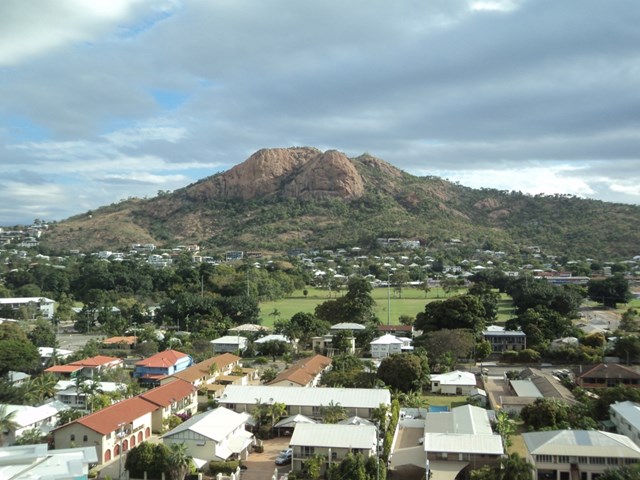
Castle Hill
Castle Hill is both a heritage-listed isolated pink granite monolith standing in the heart of the north Queensland city of Townsville and a suburb of Townsville. It rises to a height of 286 metres and dominates the city skyline and provides magnificent 360° views.
 1
km
return
30
mins
1
km
return
30
mins
Lower River Track
Located in the southern part of the World Heritage Listed, Daintree National Park, Mossman Gorge is one of the few places in the country that visitors can gain an insight into the lives, culture and beliefs of Australia’s Indigenous population and their connection to the natural environment. Walk along the creek and enjoy the Mossman Gorge in all its beauty.
 1.1
km
one-way
30
mins
1.1
km
one-way
30
mins
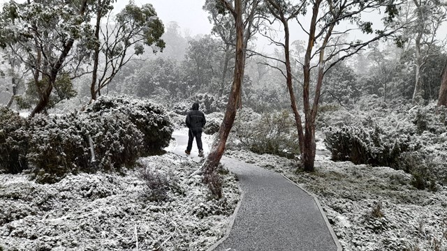
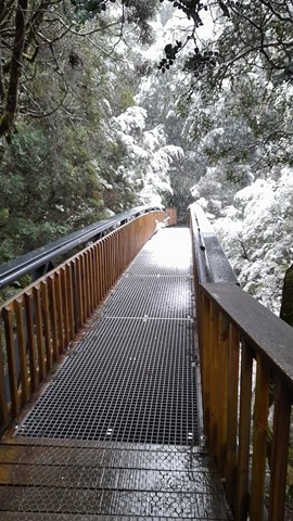
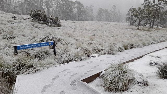
Enchanted Walk
A walk to suit all age groups. For company there’s a cascading river, wombat burrows and magical old-growth rainforest. The walk will take you through buttongrass moorland before entering cool temperate rainforest along the edges of Pencil Pine Creek. Along the track are three interpretive tunnels that kids and kids at heart will find fun to crawl through!
 6.3
km
return
2.5
hrs
6.3
km
return
2.5
hrs
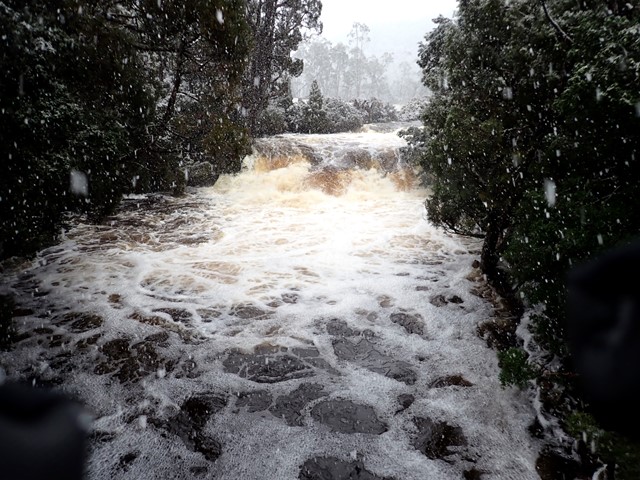
Dove Canyon
Dove Canyon is a half day track that starts in myrtle rainforest, progresses through open forest past a steep canyon and finishes by crossing buttongrass plains. With one steep section some fitness is required but its lower elevation makes it attractive as an option in poorer weather. Features visited include Pencil Pine Falls, Knyvet Falls and Dove Canyon.
 1.4
km
1
hr
1.4
km
1
hr
Aboriginal Artwork Track/ Hoop Pine Trail
The Aboriginal Artwork Trail was created in 1993, the international year of the World's Indigenous People. It has since been renamed the Hoop Pine Trail.