
Menu

 1
km
return
1
km
return
 10
mins
10
mins
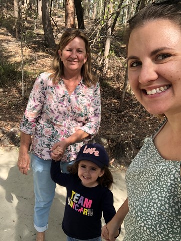
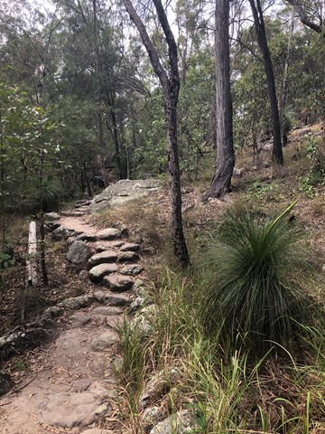
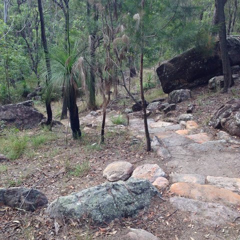
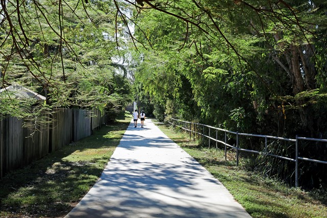
Grass Tree Track
Beautiful uphill track, starting at the end of Cheval St, Tarragindi, that joins onto the Toohey Ridge Track.
 1
km
return
20
mins
1
km
return
20
mins
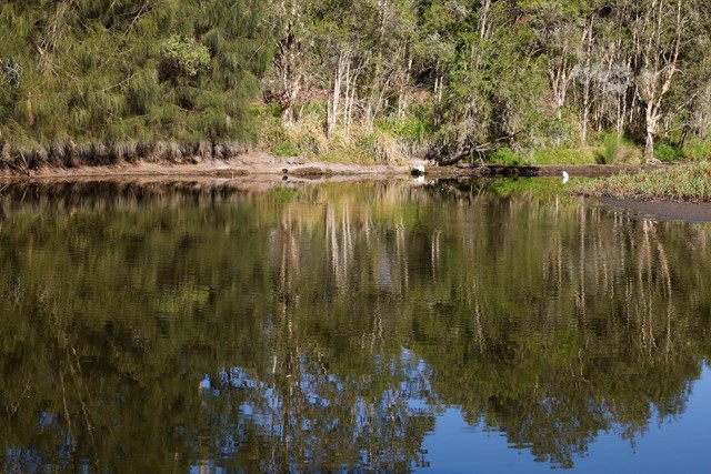
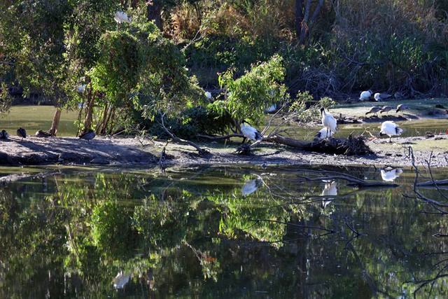
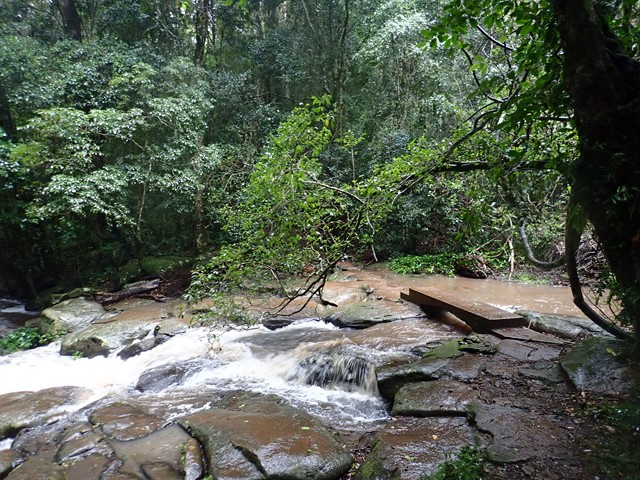
Bowie Flats Wetlands
Located in the Suburb of Coorparoo there is a little hidden treasure to walk around. Take a look.
Have a look at the Video.
http://www.youtube.com/watch?v=QmQ77iMVHeY
 1.2
km
return
20
mins
1.2
km
return
20
mins
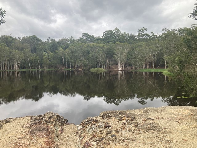
Hemmant Quarry Reserve
Hemmant Quarry Reserve is located on Fleming Road in Hemmant, 11 kilometres east of Brisbane's CBD. The 24 hectare reserve is part of the Bulimba Creek Catchment and contains open eucalypt forest and wetland species around an old quarry that is now a water body and wildlife habitat.
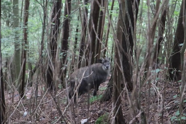
The reserve contains important habitat for a wide array of bird species and other wildlife including koalas.
Visitors can enjoy the reserve through a series of short walking tracks starting from the car park on Fleming Road, Hemmant.
 10
km
return
6
hrs
10
km
return
6
hrs
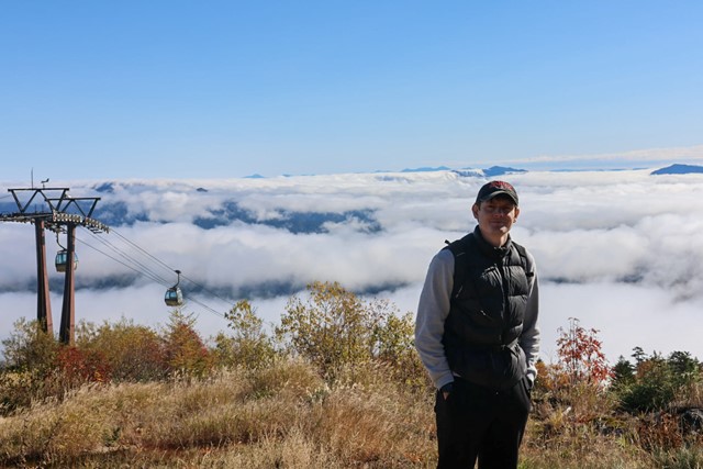
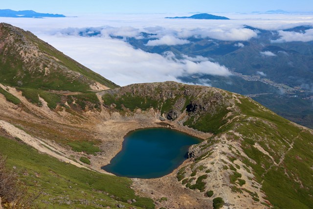
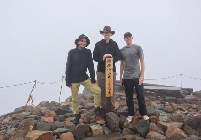
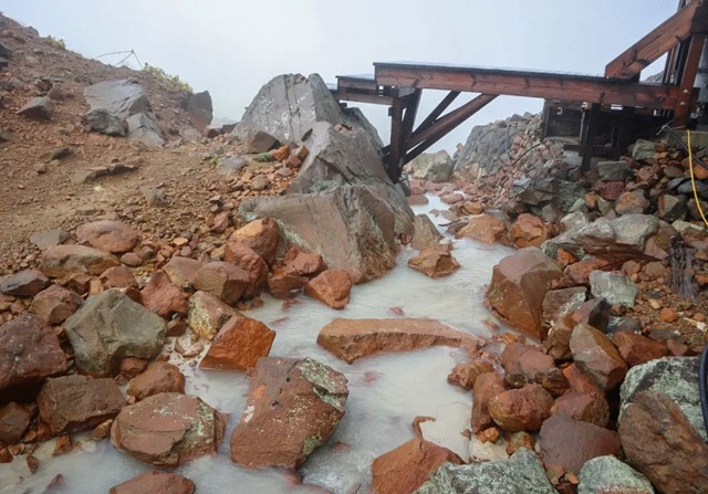
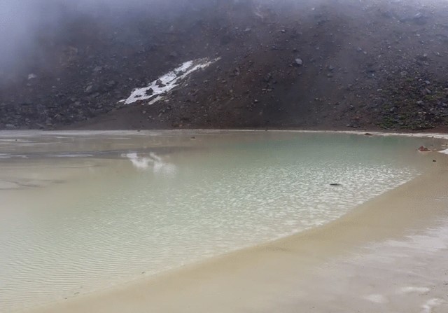
Mount Ontake 御嶽山 (Nagano Prefecture)
Mount Ontake is an active volcano and one of Japan's most holy mountains. Mount Ontake is also one of Japan's 20 peaks that stand at over 3,000m. It has beautiful volcanic lakes and alpine vistas.
This hike is very easy. There is no scrambling, it is just long.
Also make sure that you pay attention to warnings. As Mount Ontake is an active volcano, it can erupt at anytime. Make sure you are prepared in the case of an eruption. In 2014 a number of hikers died on the trail during an eruption.
Also make note that the ropeway closes at 4:30pm.
 7.3
km
return
3.5
hrs
7.3
km
return
3.5
hrs
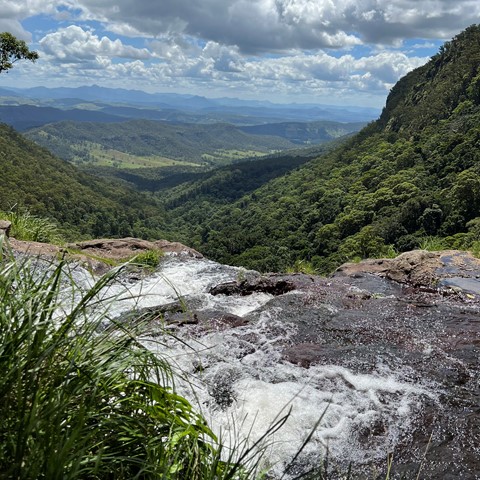
Three Falls Hike
A hike that visits all three of the waterfalls in Morialta Conservation Park. The hike skirts around the edge of the gorge with views of the cliffs, and continues up Fourth Creek past First Falls, Second Falls (with a short detour) and Third Falls. Views back over the Morialta gorge and the Plains.
The hike begins from the top carpark, or you can commence from the lower carpark on Stradbroke Road and walk along the Fourth Creek Walk to the top carpark.
1
km
return
45
mins
Gunners Cottage and Walker Pisterman Heritage Walk
Explore the original Master Gunner's house and nearby Point Nepean Cemetary before visiting the bay and the Observatory Point picnic area.
4.4
km
return
90
mins
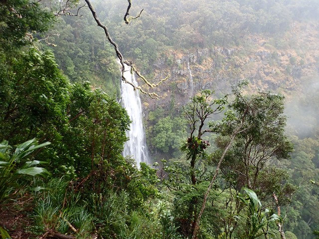
Morans Falls
Visit the falls near the O'Reilly's original hut on the plateau and grab some great views of the waterfall and across the gorge towards Castle Crag.
 600
m
return
30
mins
600
m
return
30
mins
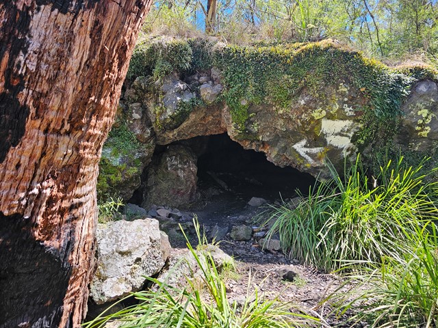
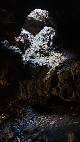
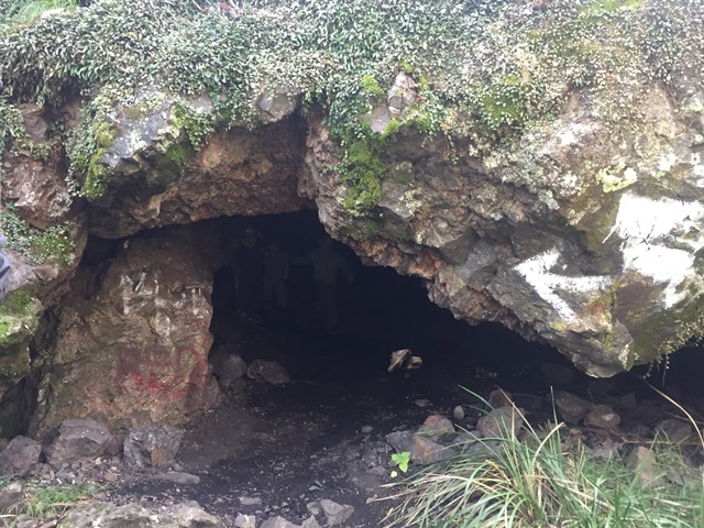
Thunderbolts Cave
Thunderbolt's Cave, named for Captain Thunderbolt - Frederick Wordsworth Ward (1835–1870), is off the New England Highway, not far from the village of Black Mountain near the major towns of Armidale and Guyra in northern New South Wales.
Thunderbolt used the cave in 1867 and 1868, the years when he conducted many robberies in the Tamworth and New England districts.
The walk is a short stroll down a hill following a small rocks and large stones covered path. The rocky terrain is typical for this area.
 6
km
return
3
hrs
6
km
return
3
hrs
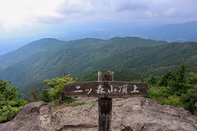
Mt. Futatsumoriyama 二ツ森山 (Gifu Prefecture)
Futatsumoriyama is out in the sticks of Gifu Prefecture. Summit has 360 views of the surrounding mountains. It's not the best nor the worst mountain.
 3
hrs
3
hrs
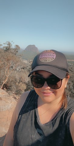
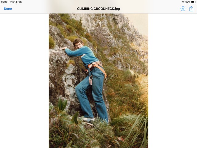
Mt Coonowrin
Access to this mountain is closed. Significant penalties apply to anyone found on this mountain without a permit. It is unclear on what grounds a permit may be granted, but if one can be obtained, the previously established route would likely have disappeared.
 3
km
return
35
mins
3
km
return
35
mins
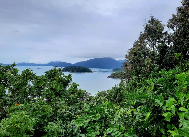
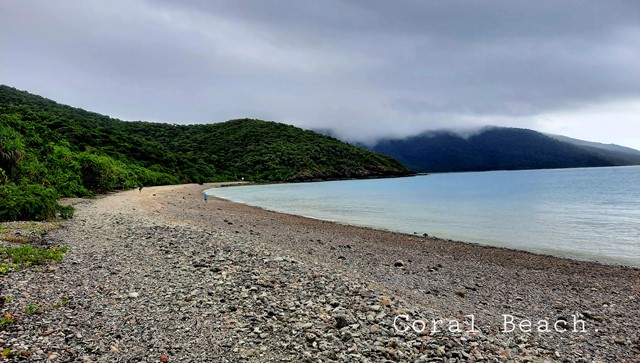
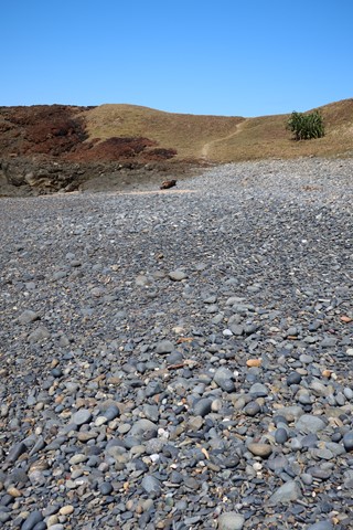
Coral Beach
About 2km return, nice walk through varied coastal forest with glimpses through the trees of Shute Harbour. Rocky trail, medium grades with many tree roots. Lovely rewarding coral/ pebbly beach joining the Beak Lookout walk.
 50
m
return
15
mins
50
m
return
15
mins
Edgars Lookout
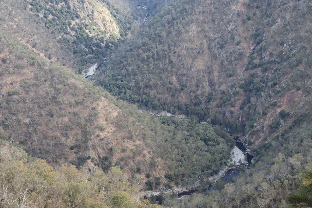
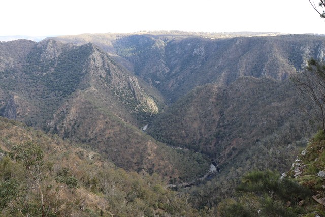
A lookout in Oxley Wild Rivers National Park overlooking the Chandler River Gorge.
 5.2
km
return
5.2
km
return
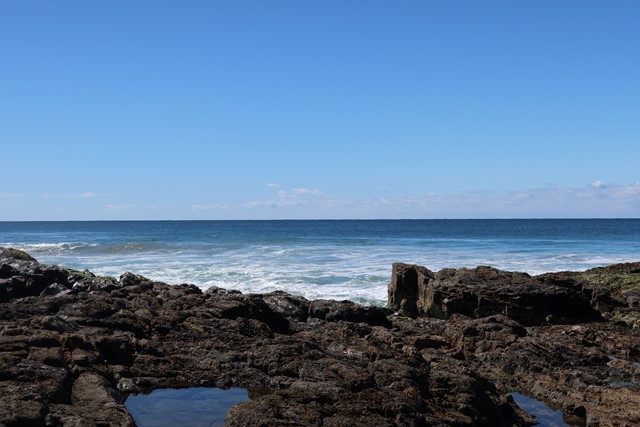
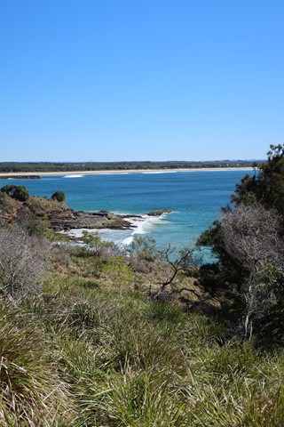
Lookout to Red Hill Evans Head
We took our time exploring the tracks, rockpools and playing on the beach.
 2
km
return
1
hr
2
km
return
1
hr
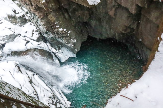
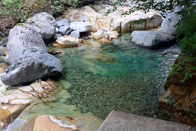
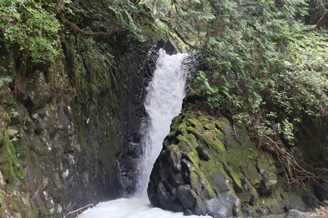
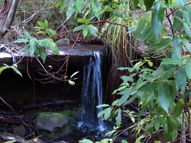
Tsukechi Gorge 付知峡 (Gifu Prefecture)
Tsukechi Gorge located in Nakatsugawa has unbelievably blue water and stunning waterfalls. The walk is very nice.
 11
km
return
3
hrs
11
km
return
3
hrs
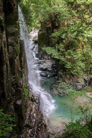
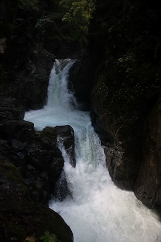
Osaka Falls Meguri 小坂の滝巡り + Neo Falls 根尾の滝 (Gifu Prefecture)
Osaka no Taki is an area created that was created by the eruption of nearby Mount Ontake. It is home to unique volcanic rock and over 200 different waterfalls.
 900
m
return
20
mins
900
m
return
20
mins
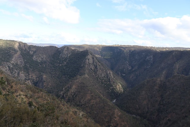
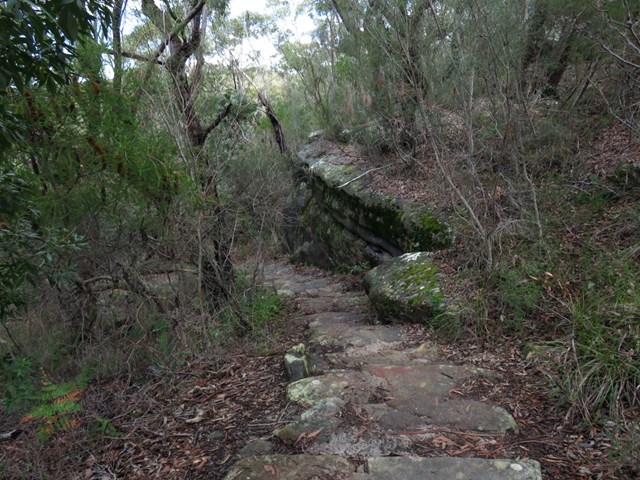
Bungoona Lookout
Concrete path winding through the bush along sandstone rocks and finishes at a secured lookout with views down to the Hacking River and Audley.
 10
km
one-way
3.75
hrs
10
km
one-way
3.75
hrs
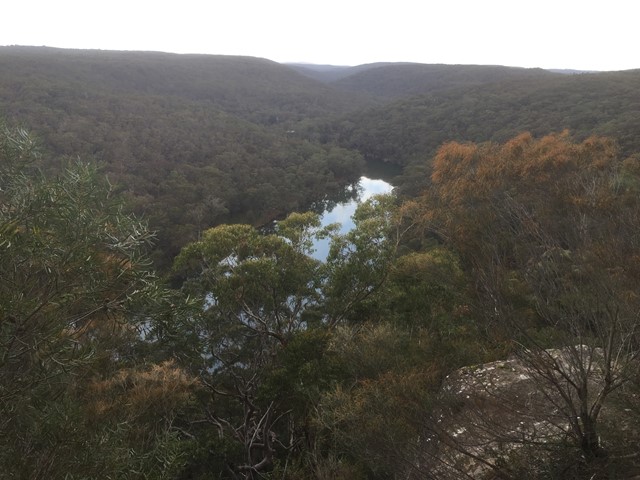
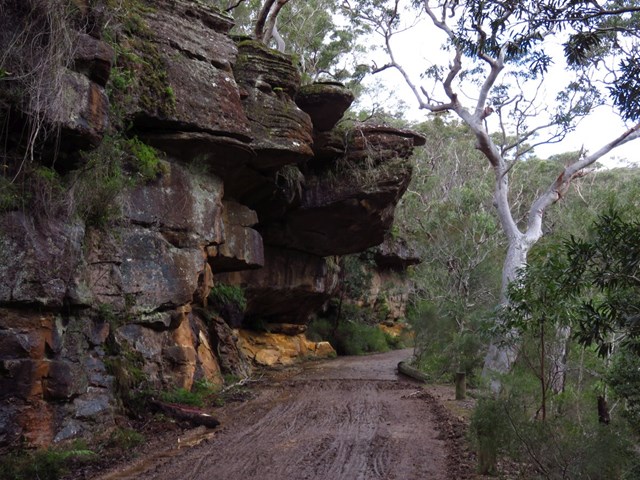
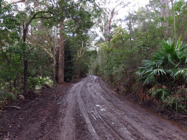
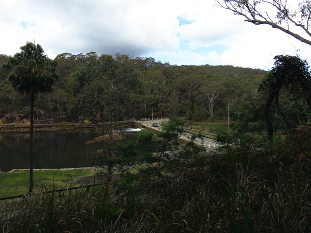
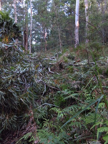
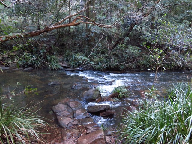
Lady Carrington Drive
This walk follows the historic Lady Carrington Drive along the Hacking River. The road has been closed to traffic for some time now and provides a great way for walkers (and mountain bikers) to explore the rich area of Royal National Park. The side of the management trail is dotted with fantastic natural sandstone formations, historic features, picnic areas and grand native and introduced trees.
 1.5
km
one-way
30
mins
1.5
km
one-way
30
mins
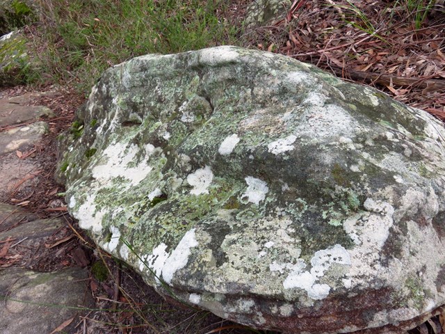
Honeymoon Track
This walk is filled with beautiful boulders covered with moss.
 5.1
km
one-way
2
hrs
5.1
km
one-way
2
hrs
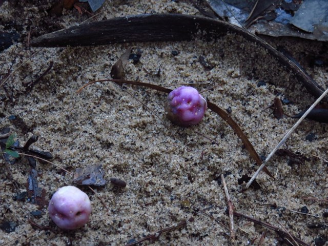
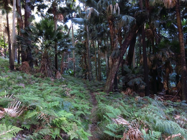
Couranga Track
This is a pleasant walk, taking you through some of Royal National Parks more diverse ecosystems. From Waterfall Station, the walk heads through the bush and heath, before descending to the rain forest and palms on the banks of the upper Hacking River. A great walk to explore Royal National Park's floral diversity
 4.4
km
return
105
mins
4.4
km
return
105
mins
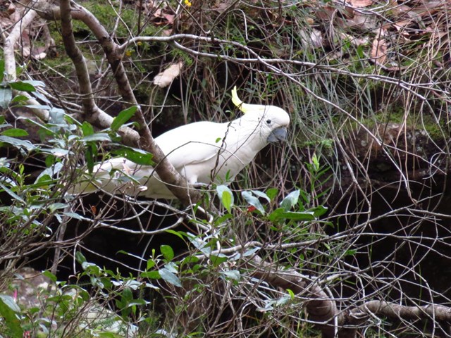
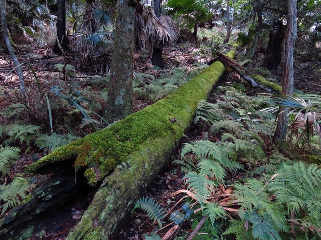
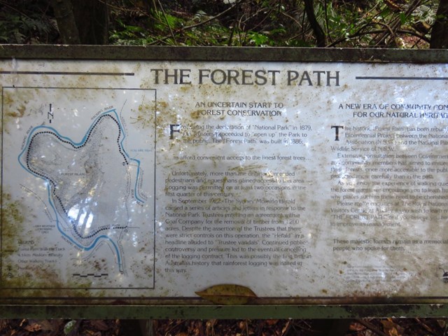
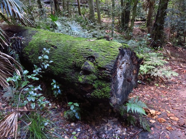
The Forest Path
Opened in 1886, the Forest Path was once part of a controversial logging site, the first time that logging was stopped in Australia by protest. Now it is a short trail looping around the hill, following the Hacking River. Through a shaded environment of ferns and eucalypts, this walk passes through a very pretty environment that was definitely worth preserving.