
Menu

 8
km
return
8
km
return
 2
hrs
2
hrs
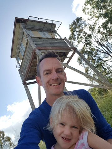
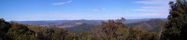
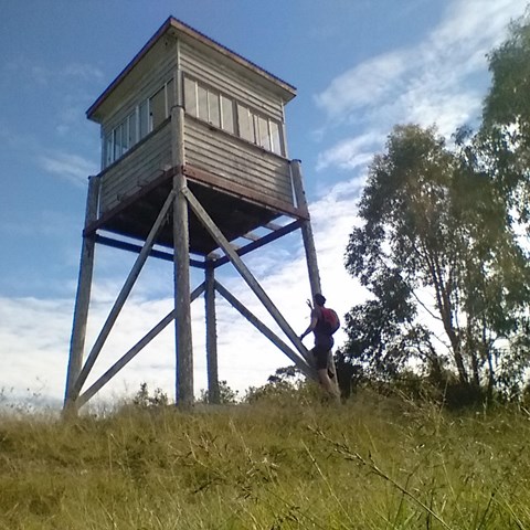
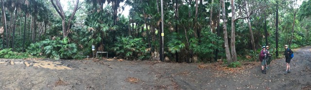
Amamoor State Forest Lookout
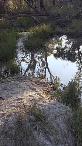
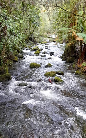
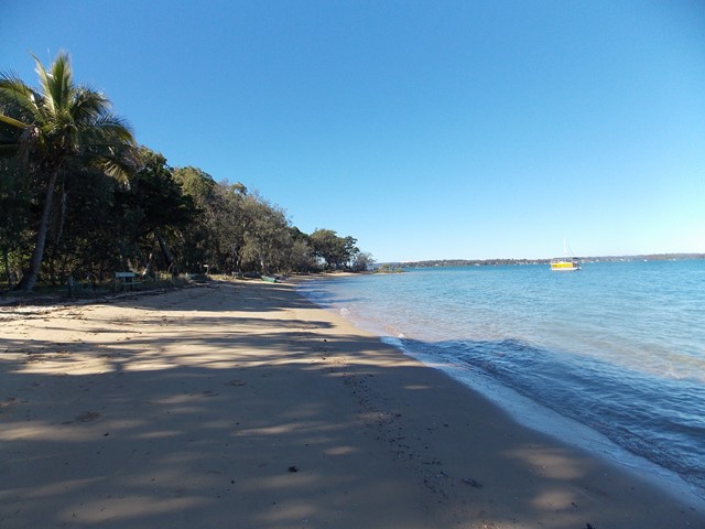
This is a shared trail for 4wd , Motorbikes , horse riders and hikers. This one starts opposite the 2nd car park entrance of Amama day-use area. You noticed a gate when looking up, just follow.
Follow the track to the right at the first intersection , then to the left at second intersection , then again keep following to the left. You will hit a rather steep section again full of rocks and gravel leading up to the lookout tower. Notice there's currently no ladder to get into the tower yet still have nice views though.
 1.2
km
return
30
mins
1.2
km
return
30
mins
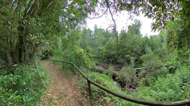
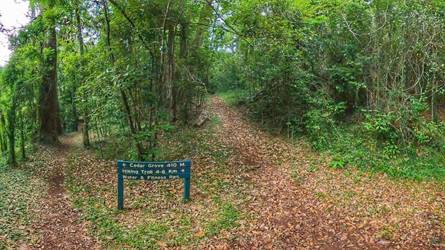
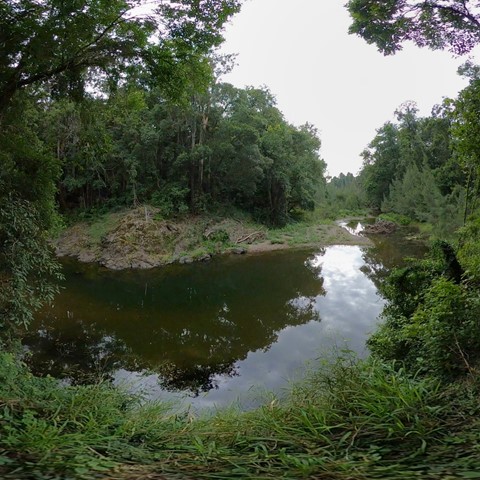
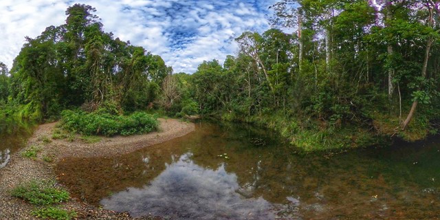
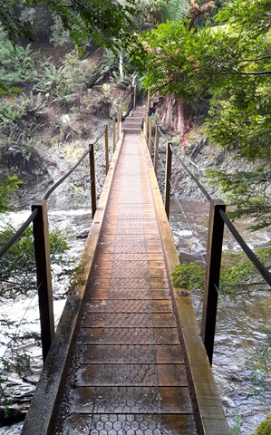
Rainforest Walk
A short rainforest walk around Cedar Grove Camping Area with two intrepid crossings of Amamoor Creek.
 900
m
return
30
mins
900
m
return
30
mins
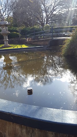
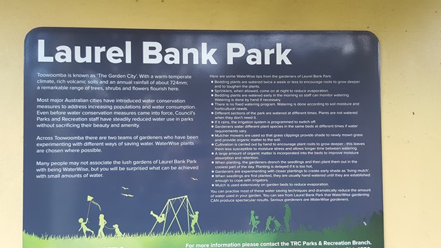
Laurel Bank Park
This well groomed park is a site to behold in spring and summer with its pathways in and around the various flowerbeds and ornamental areas.
 3.3
km
one-way
2
hrs
3.3
km
one-way
2
hrs
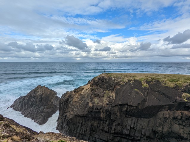
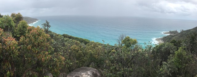
Connors Walking Track
A medium in-and-out walk through coastal rainforest and heathland offering whale watching, wildflowers, scenic views, and even a blowhole on the way to secluded beaches.
 5.7
km
return
105
mins
5.7
km
return
105
mins
Broadwater Loop
An interesting walk with multiple challenging creek crossings through Broadwater State Forest. Includes plenty of bird life and the odd wallaby peeping out from behind the trees.
 5
km
1
hr
5
km
1
hr
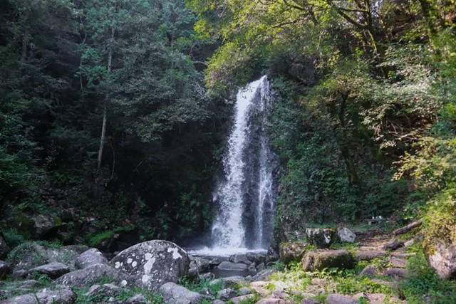
Guy Fawkes River
Easy walk along well-maintained track. Sights included a spectacular waterfall, birdlife and spectacular views from the point at the end of the ridge.
10
km
one-way
5
hrs
Smokey Cape Walking Track
Hat Head National park, northern section at Arrakoon near Southwest Rocks. A nice easy walk with covering native bushland to beach walking beginning at Smokey Cape Lighthouse and ending at Trial Bay Gaol.
 6
km
return
2
hrs
6
km
return
2
hrs
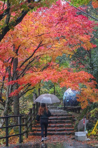
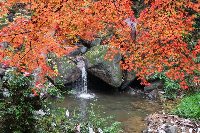
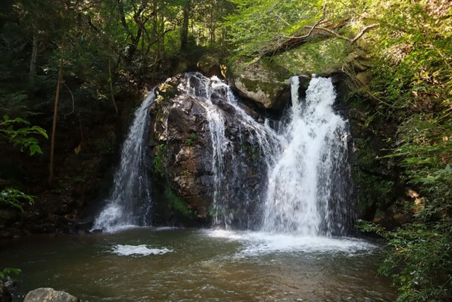
Ryugin Falls 竜吟の滝 (Gifu Prefecture)
A loop that takes you past seven different waterfalls and a lake. The first two waterfalls are particularly impressive.
 10
km
return
5
hrs
10
km
return
5
hrs
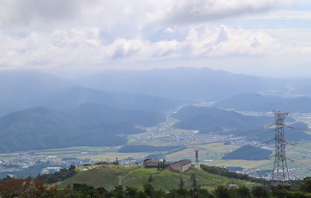
Mount Ibuki 伊吹山 (Shiga Prefecture)
Mount Ibuki, located in Maibara near Lake Biwa is one of Japan's 100 famous mountains. It has great views over the surrounding mountains and lake. Unfortunately the summit has undergone a lot of development and is more akin to a shopping centre. There is a road that leads to the summit and it isn't rare to find women knocking about in high heels and fashion not suitable for climbing mountains.
There are also lots of abandoned buildings on the mountain such as omiyage gift shops and a gondola station which housed the old ski lift. If you are adventurous you can explore the abandoned buildings.
 5
km
return
1
hr
5
km
return
1
hr
Quart Pot Creek Trails
Trails around Quart Pot Creek in the Quart Pot Creek Parklands in the centre of Stanthorpe.
 19.8
km
return
7
hrs
19.8
km
return
7
hrs
Toolona Creek Circuit
A beautiful walk along Toolona Creek and an endless number of waterfalls! Many creek crossings and beautiful, lush areas deep in the valley.
 6
km
return
2
hrs
6
km
return
2
hrs
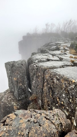
Bridal Veil Falls Via Champagne Falls
A moderately challenging walk to some amazing waterfalls in the Cradle Valley Region of Tasmania, not too far from the town of Moina.
This out and back route starts from the Lemonthyme Wilderness Lodge, where parking is available.
The trail itself follows a clearly marked and well maintained fire trail for most of the walk.
 1.1
km
return
45
mins
1.1
km
return
45
mins
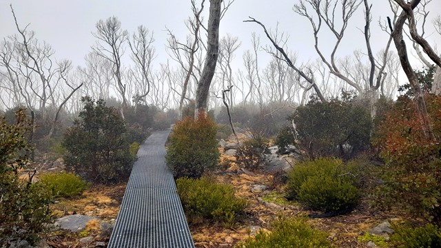
Devils Gullet Lookout
A short 1.1km return trail through the Devils Gullet State Reserve in the Central Highlands of Tasmania.
The walk starts and ends at the car park at the end of Devils Gullet Road.
The trail itself is well maintained and easy to follow, offering incredible views from the end point.
There are no visitor facilities at this site.
 3.7
km
return
1
hr
3.7
km
return
1
hr
Noboribetsu Jigokudani - Hell's Valley 地獄谷 (Hokkaido)
Located in the beautiful onsen town of Noboribetsu is the jigokudani, not to be confused with the more famous jigokudani in Nagano which has bathing monkeys. Jigokudani is an amazing volcanic spring that has views you don't really see anywhere else.
 800
m
return
45
mins
800
m
return
45
mins
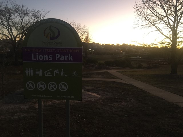
Donnelly’s Castle
A nice little walk around the rock formation features of Donnelly’s Castle Lions Park with the lookout above and the caves below.
 600
m
return
30
mins
600
m
return
30
mins
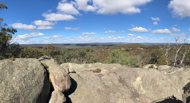
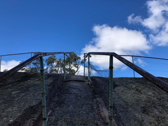
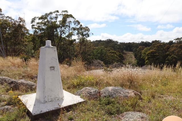
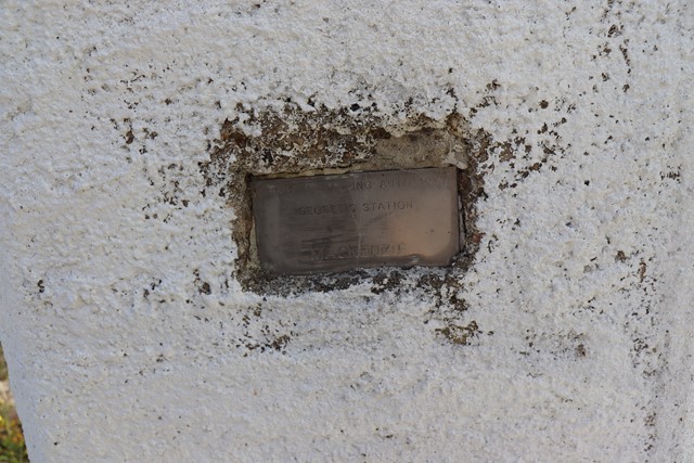
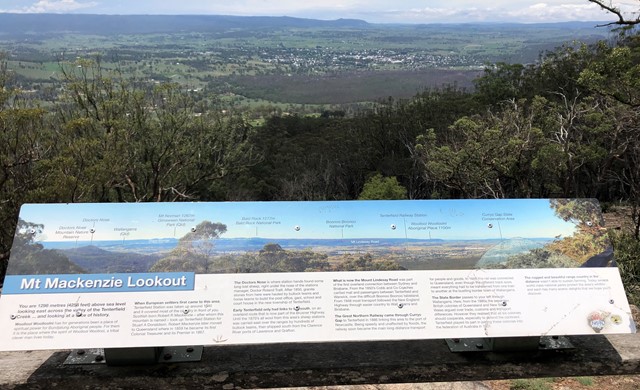
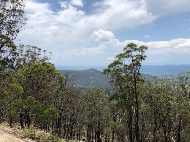
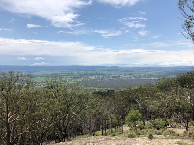
Mt Mackenzie Lookout
Mt Mackenzie Lookout is in the Mount Mackenzie Nature Reserve west of Tenterfield. Walk up to the trig point behind the lookout.
 4
km
90
mins
4
km
90
mins
Simpsons Falls and Eugenia Circuit
This track begins at Simpson Falls Picnic Area. It is excellent for wildflower viewing in late winter and spring when the golden wattles and purple hoveas of the open forest understorey burst into bloom. Links with the Eugenia Circuit
 1.4
km
return
30
mins
1.4
km
return
30
mins
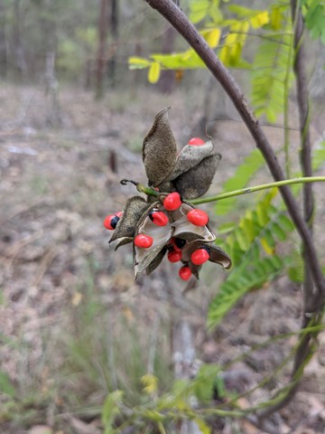
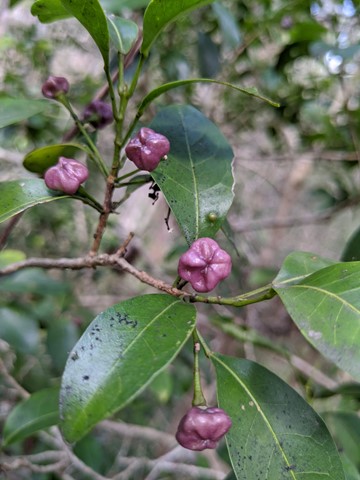
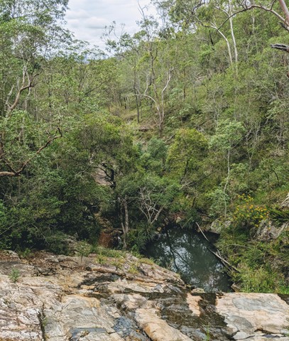
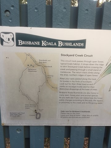
Brisbane Koala Bushlands (Stockyard Creek Walking Trail)
Circuit track through open forest koala habitat. Bitumen/ boardwalk.
 3.5
km
return
1
hr
3.5
km
return
1
hr
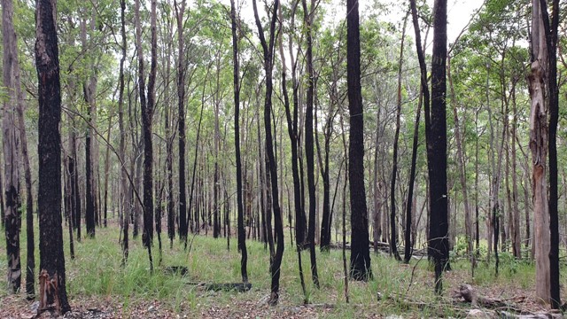
Brisbane Koala Bushlands (Multi Use Trail)
A pleasant walk in bushland that takes about 1 hour. You are likely to have the walk to yourself and see wallabies and various bird species.
 3
km
return
1
hr
3
km
return
1
hr
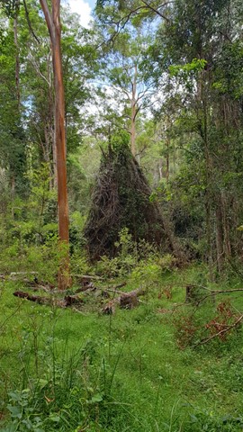
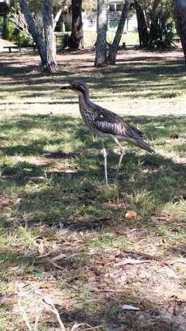
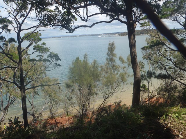
Melaleuca Wetland Reserve Walk (Coochiemudlo Island)
This walk takes you around half Coochiemudlo Island anti-clockwise. Relaxed atmosphere with beach views, half way through the walk will take you through the reserve where you can easily spot some Bush Stone-curlews.