


Menu

 7
km
return
7
km
return
 2.5
hrs
2.5
hrs
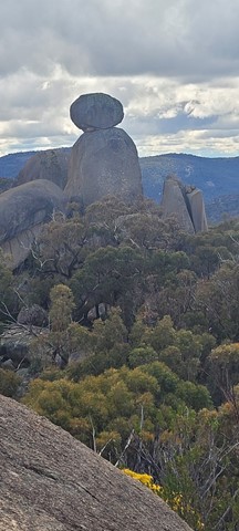
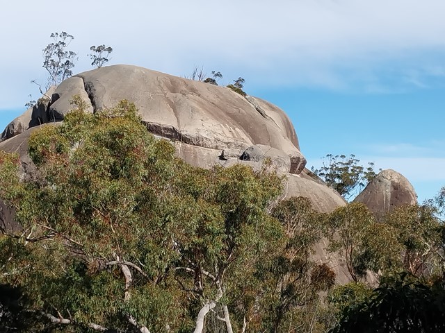
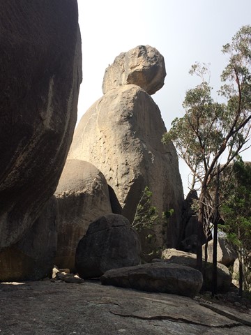
The Sphinx and Turtle Rock
The Sphinx is a granite pinnacle bearing a large balancing tor, while Turtle Rock is a large granite monolith resembling a turtle's back.


 4.4
km
return
90
mins
4.4
km
return
90
mins
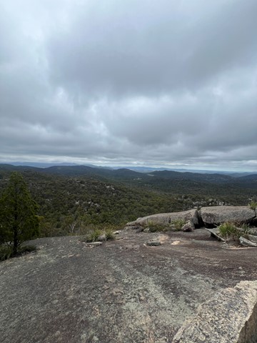
Castle Rock
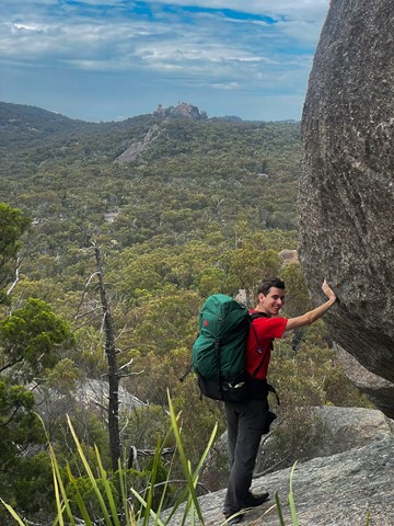
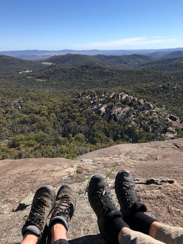
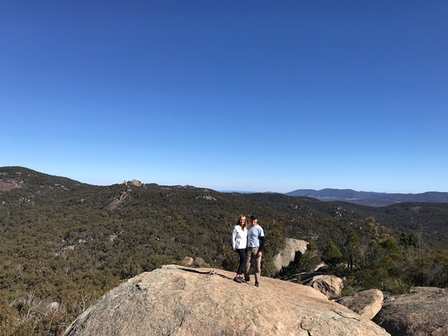
Panoramic views from Castle Rock are breathtaking including The Pyramids and Mt Norman. Officially rated Grade 4/Hard, this walk requires a moderate fitness level, some scrambling skills and confidence with heights.
 1.6
km
return
45
mins
1.6
km
return
45
mins
Sawn Rocks
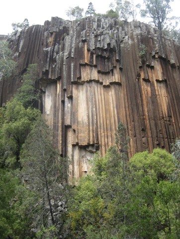
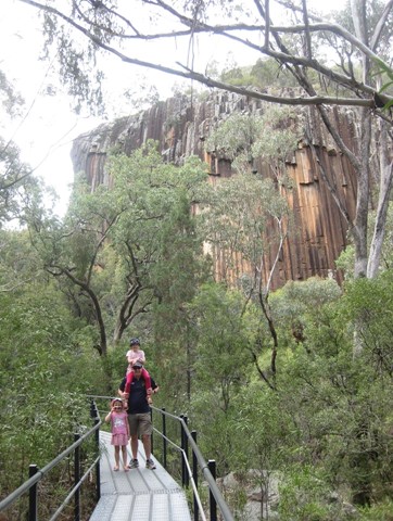
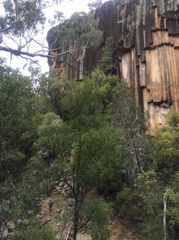
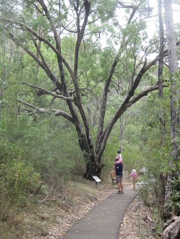
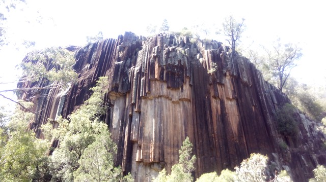
The wall of 40m high 'organ-piping' looks like something out of a cathedral. Sawn Rocks is a towering wall of pentagonal basalt pipes. An iconic reminder of Kaputar’s volcanic past, this rock formation is located in the northern section of Mt Kaputar National Park. This phenomenon is the result of slow and even cooling of molten rock, enabling individual crystals within the rock to align perfectly with each other.
 3.8
km
return
105
mins
3.8
km
return
105
mins
Fans Horizon
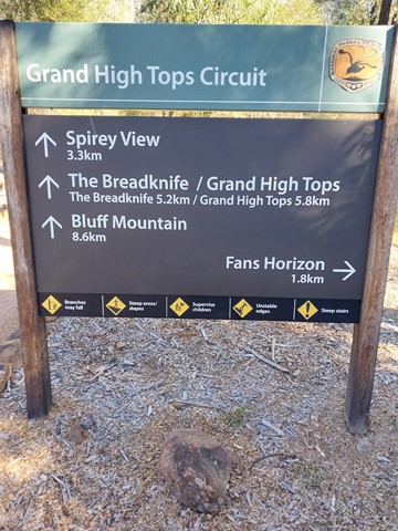
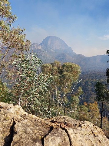
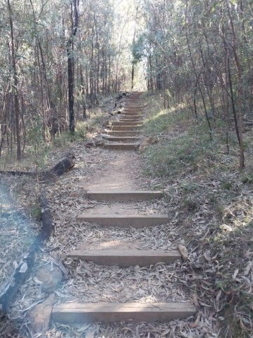
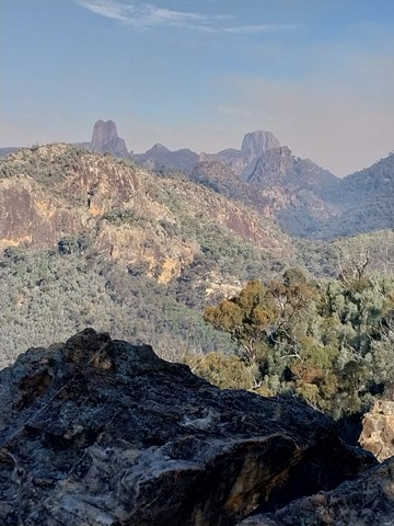
Perched atop the cliffs of Balgatan Mountain, Fans Horizon lookout is well worth the short but challenging hike. It’s perfect for bushwalkers who are pressed for time but keen to see the Warrumbungles' famous volcanic rock formations. Take the time to catch your breath as you enjoy some of the park’s most rewarding sights. You’ll have magnificent views of the iconic Breadknife, Belougery Spire and Crater Bluff.
 1.8
km
return
1
hr
1.8
km
return
1
hr
Eckford Lookout
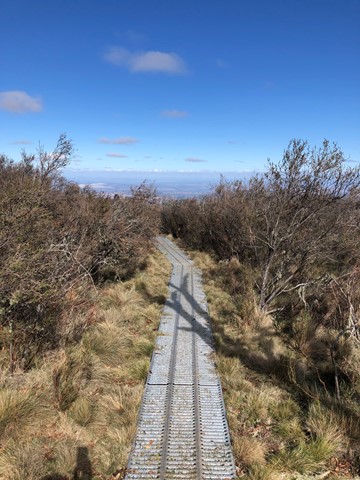
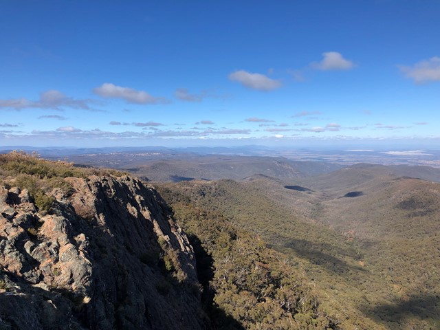
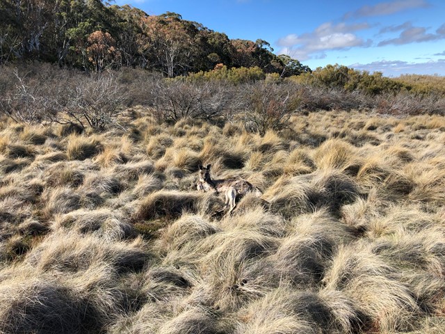
This easy walk takes you through forest and herb fields to the lookout, where you can see the southern section of the park and the plains beyond.
 5
km
return
3
hrs
5
km
return
3
hrs
Mt Blaine Summit Trail
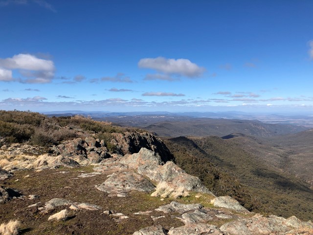
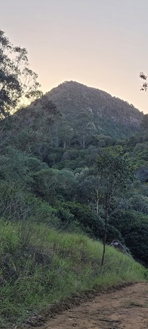
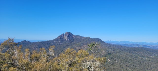
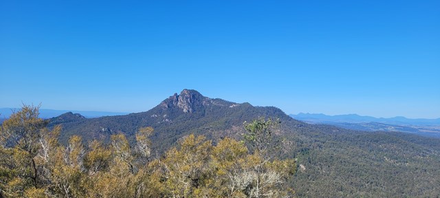
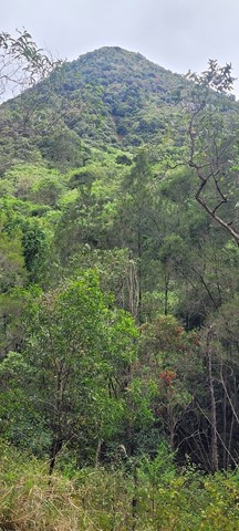
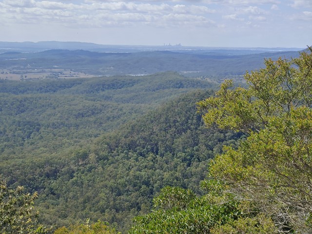
A challenging track to the summit of Mt Blaine. The trail consists of steep inclines and rock scrambling. The summit provides 360 degree view over Brisbane, Ipswich and the scenic rim and a great view of Flinders Peak. The track goes up the northern side, over the summit and back down the southern side. High level of fitness, off track experience, scrambling experience and solid boots are all recommended. Do not attempt this climb if you have knee problems, nervous conditions or vertigo.
 6.8
km
return
2
hrs
6.8
km
return
2
hrs
Rowlands Creek
A nice easy walk down to Rowlands Creek via Middle Ridge and Clay Pots Fire Trails.
22
km
7
hrs
Mt Merino Lookout
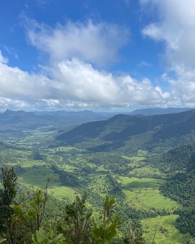
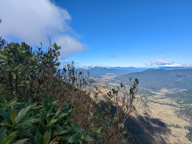
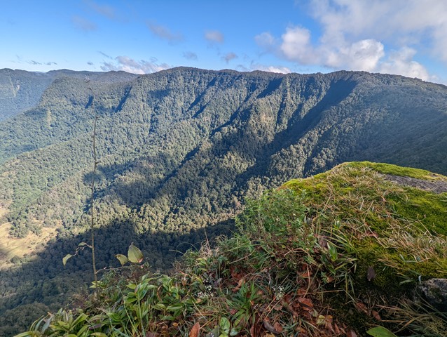
The 1160m summit of Mt Merino is halfway between Binna Burra and Green Mountains and can be visited on a day walk.
 3.7
km
return
90
mins
3.7
km
return
90
mins
Bundabulla Circuit
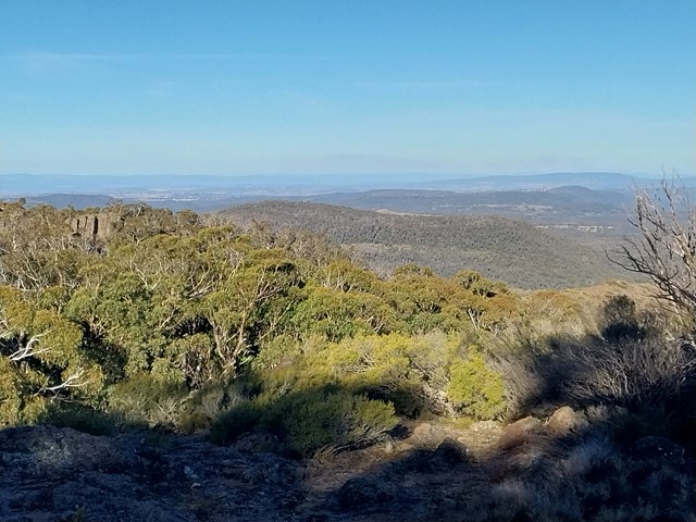
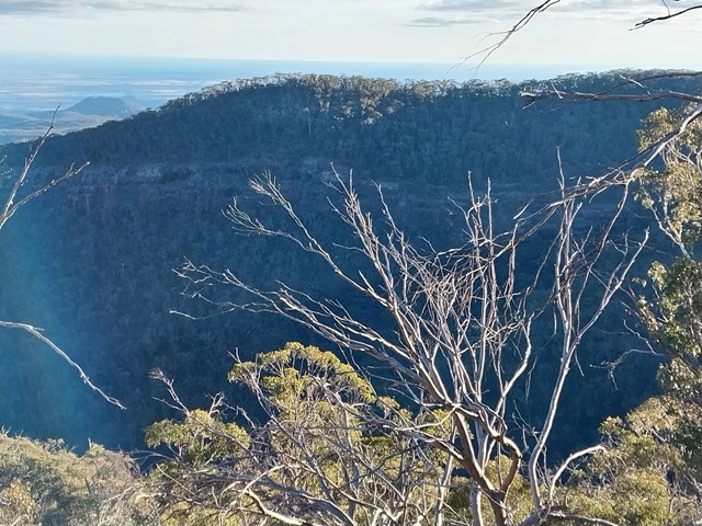
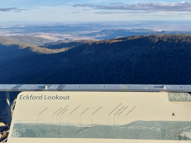
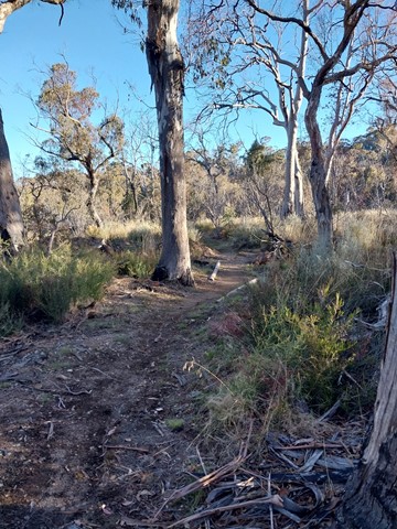
Bundabulla Circuit walking track connects Lindsay Rock Tops walk and Eckford Lookout walk, with lookouts around the plateau providing amazing views of the surrounding plains.
 4
km
return
4
hrs
4
km
return
4
hrs
Yulludunida Walking Track
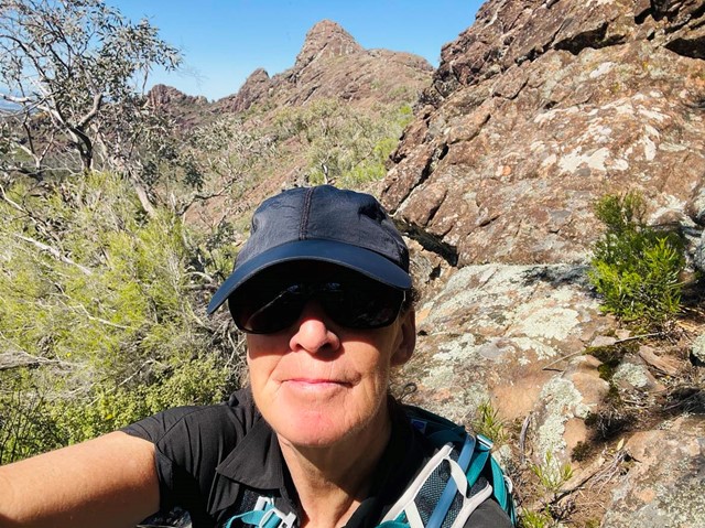
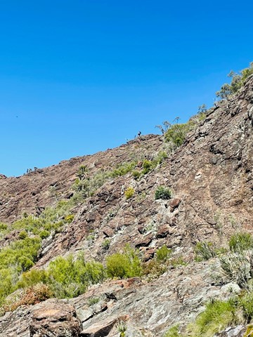
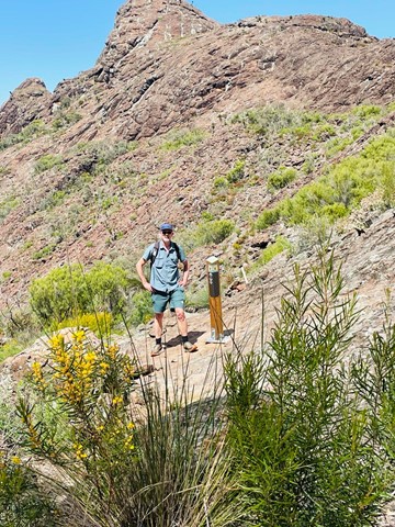
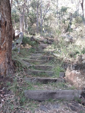
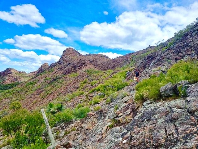
Yulludunida walking track is an exhilarating 4km, 4 hour return hike. This hard walk from Green Camp car park takes you up the side of the steep bluff, a heart-pumping 340-metre rise in altitude. Adventurous and experienced bushwalkers will be rewarded with uninterrupted 360° views across Mount Kaputar National Park and North West NSW. Yulludunida walking track includes a breathtaking bird’s eye view of the mountain’s crater, one of the most impressive examples of a ring dyke (Mountain Spa) in Australia. You'll notice the woodland trees become sparser as the contorted shapes of the crater appear.
 4.2
km
return
2
hrs
4.2
km
return
2
hrs
Bushrangers Cave
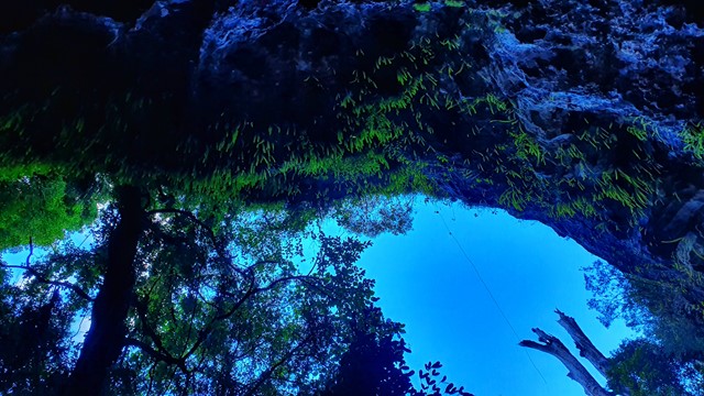
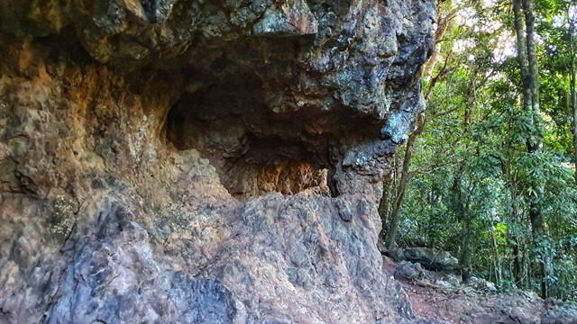
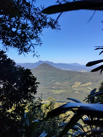
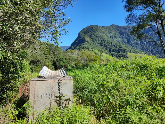
An off-track walk from the border gate to Bushrangers Caves, which used to be an aboriginal camp. The adventurous can head on up Mt Wagawn to join up with the main Lamington track system.

 2.3
km
return
1
hr
2.3
km
return
1
hr
Sandstone Caves
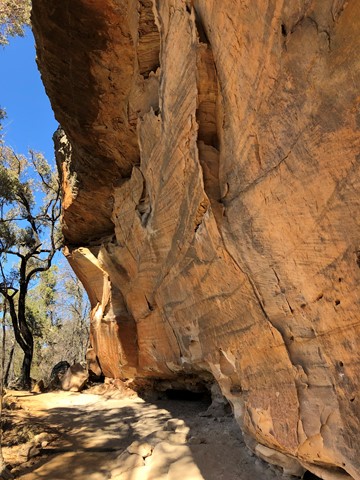
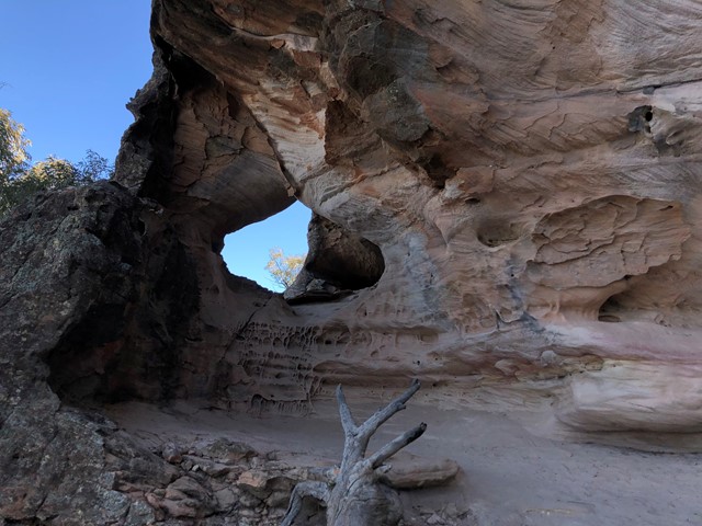
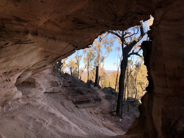
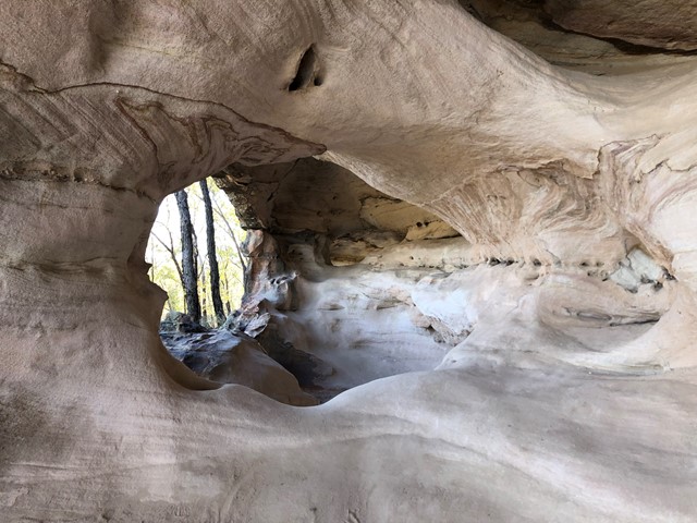
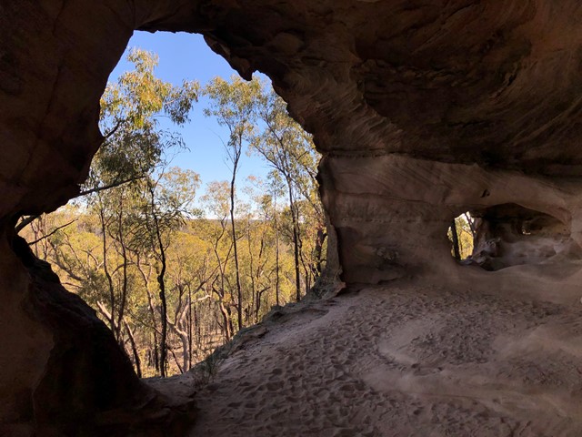
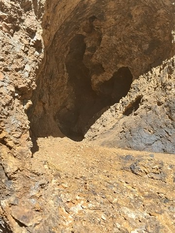
Situated around a large sandstone outcrop, the Sandstone Caves are a series of cathedral type caves and overhangs displaying an array of interesting colours and shapes. They have been formed over tens of thousands of years through the weathering of the fragile sandstone. The Sandstone Caves are an Aboriginal site for the local Gamilaraay people. Grinding grooves, rock art and other Aboriginal sites provide a strong link with their traditional times.
 13
km
return
6
hrs
13
km
return
6
hrs
Breadknife and Grand High Tops Circuit
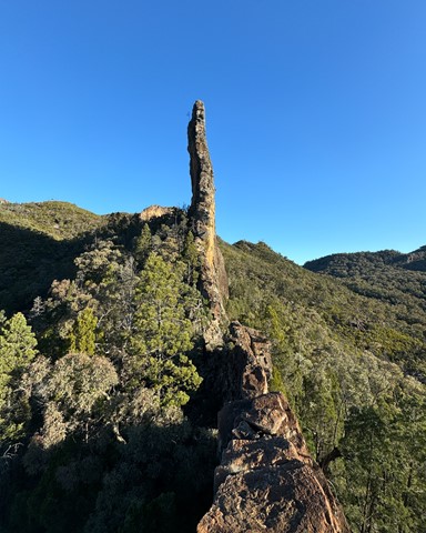
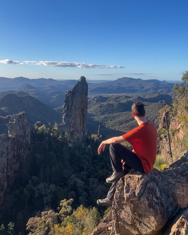
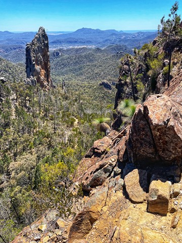
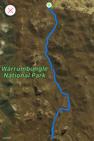
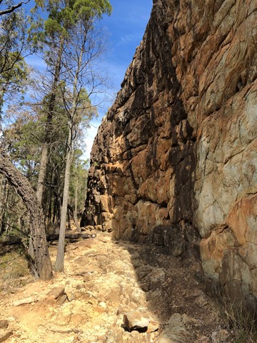
Breadknife and Grand High Tops Circuit in Warrumbungle National Park is regarded as one of the best walks in New South Wales, offering close up views of the park’s iconic rock formations.
 2.5
km
return
90
mins
2.5
km
return
90
mins
Stephens Peak
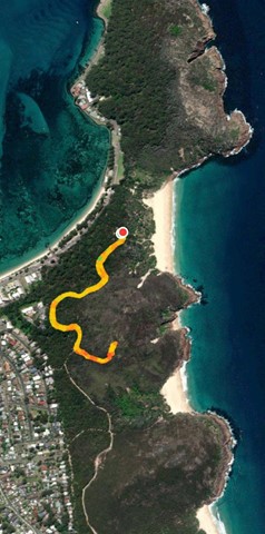
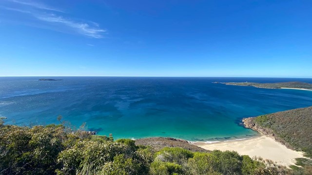
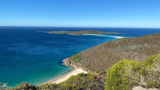
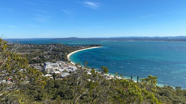
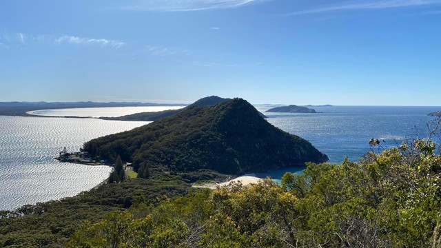
Stephens Peak has 360 views of the region. It is more the local alternative to Mt Tamoree which is more touristy
 4
km
return
90
mins
4
km
return
90
mins
Tara Cave
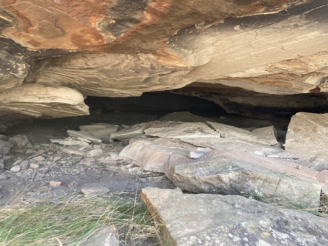
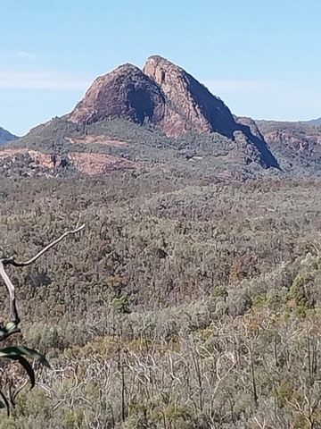
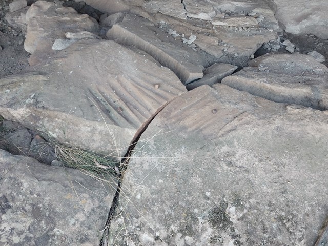
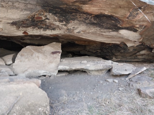
Tara Cave walking track is ideal for bushwalkers interested in the area’s Aboriginal culture. The track leads to Tara Cave, which has evidence of Aboriginal occupation and along the way there are interpretive displays about the local Aboriginal people’s connection with the land. Until recently, Aboriginal people used caves in the area for shelter. Tara Cave was also used for manufacturing stone tools, and you can see a stone slab with ‘grinding grooves’ at the cave entrance.

 1.25
km
return
30
mins
1.25
km
return
30
mins
Whitegum Lookout
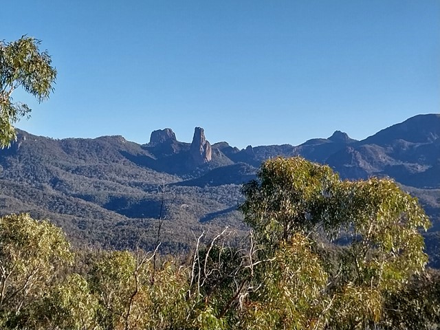
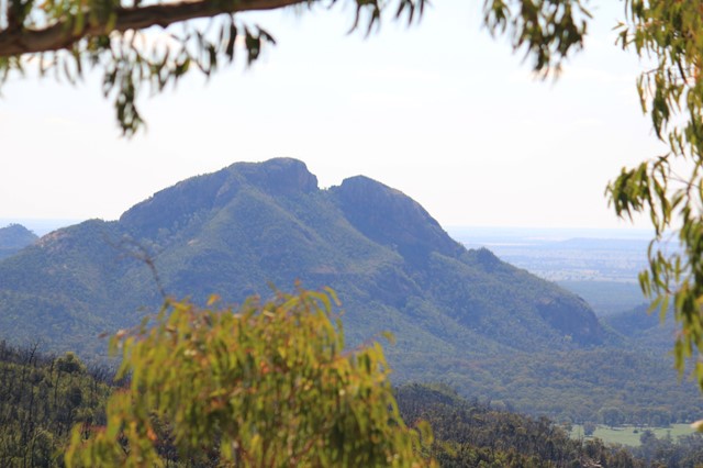
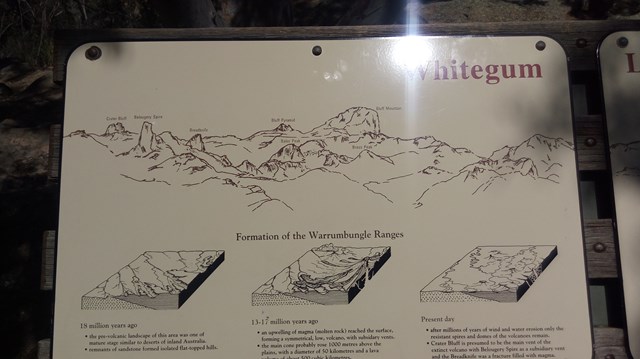
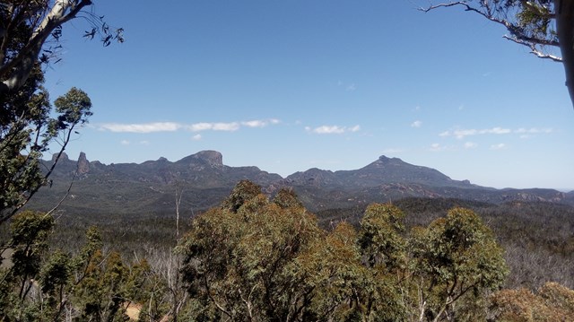
Spectacular views of the volcanic landscape of Warrumbungle National Park await you at Whitegum Lookout. It provides you with a perspective of the many other walks and climbs that the National Park has to offer.
 4.6
km
return
3.5
hrs
4.6
km
return
3.5
hrs
Belougery Split Rock
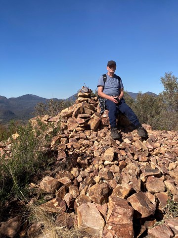
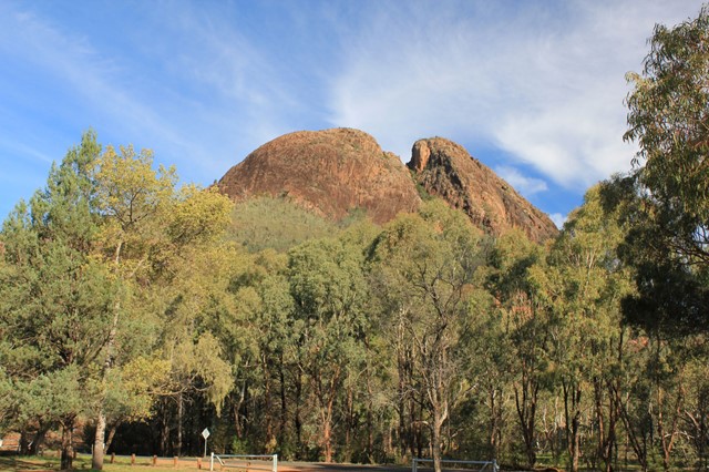
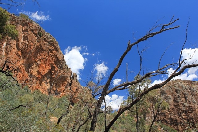
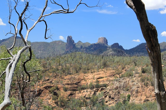
A medium length tracks with some fun scrambling and fantastic views across to the Warrumbungles major features including the Breadknife, Grand High Tops, Belougery Spire and Siding Spring Observatory. The rock is a lava dome formed by viscous lava. This is a great half-day walk as an introduction to the Warrumbungles or if you have limited time.
 18
km
48
hrs
18
km
48
hrs
Spicers Peak West
We have ventured to this part a couple of times now and still find it a challenge worth doing. Nothing massively hard in the climb to the top except when we last did the climb and indeed every time before that we were carrying way too much weight. We followed the old track up from Governors Chair lookout for about 3.5km until seeing a clearing on the left hand side of the road. From there we left the road to find the bigger of the the spurs that lead to the main ridge. The climb up the spur did get a bit steep towards the ridge and was quite soft dirt under foot so takes a bit of time to get through. We like to do things the hard way ...(: Once on the ridge the route does get a bit easier for a while with a gental climb for a couple of hundred meters. From there it gets steeper and rockier with some minor obstacles and scrambling. Camping before reaching the overgrown part on a grassy outcrop, we have an awesome view of the Darling Downs district and the sun set. As much as like new places, this mountain keeps me coming back for more. Maybe it's because it's not as popular as other walks near by.
5.6
km
return
4
hrs
Mt Ohlssen Bagge
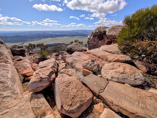
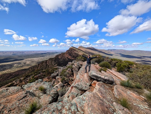
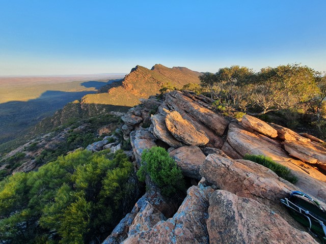
A quick steep ascent up Mt Ohlssen Bagge which has amazing views of the Flinders Ranges especially during sunset and sunrise.

 8.9
km
return
4
hrs
8.9
km
return
4
hrs
Alligator Gorge Ring Route Hike
A circuit hike along the full length of Alligator Gorge, including the Narrows and the Terraces. Explore the gorge during Spring to see abundant wildflowers. The Narrows is a gorge a couple of metres wide which stretches for several hundred metres. The Terraces are a series of platforms which the creek flows down. Walking anti-clockwise, when you leave the gorge and reach the Ring Route Track, you could undertake a short sidetrip by turning right and heading up the firetrack to The Battery for spectacular views over the Spencer Gulf.