
Menu
Suggested searches
Your search found 510 results...

 5.5
km
return
5.5
km
return
 2
hrs
2
hrs
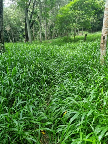
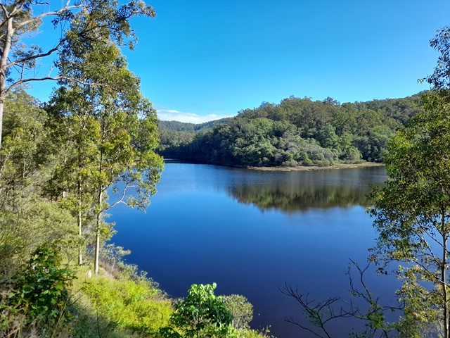
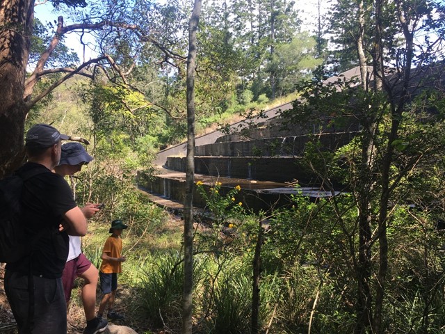
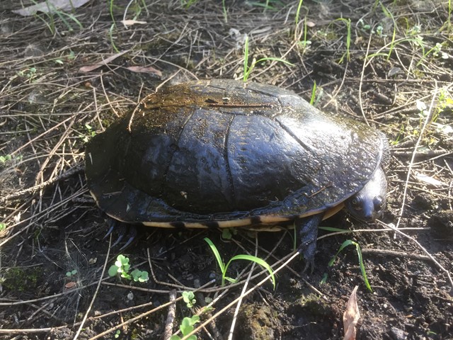
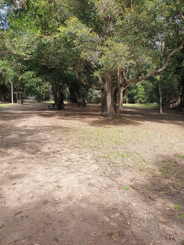
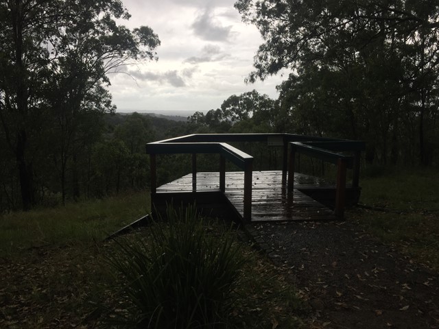
Gold Creek Reservoir
South East Queensland
Within the Brisbane City area there are a number of nature reserves that provide opportunities for the hiker who doesn't want to drive for hours to get out of the city. One of the most interesting is the Gold Creek Reservoir located next to the suburb of Upper Brookfield.
 1.2
km
return
30
mins
1.2
km
return
30
mins
Fitzgibbon Bushland Walk
Brisbane City Council Local Walks
Remnant bushland pocket in suburb of Fitzgibbon. Accessible by public transport.
4.3
km
return
1
hr
Mookin-bah Reserve
Brisbane City Council Local Walks
There are a number of trails in the Mookin-bah Reserve. All relatively short but can be combined to walk a little over 5km. This walk started at the Greencamp Road entrance and took the Lorikeets then h9neyeater tracks before merging onto the Fairy wren track and walking to Chelsea Road.
The track is signposted and straightforward with the only tricky part at the start of the walk. The walk starts in just a mown grassy track which quickly reaches an a junction that has no signs. Go left and you will quickly be on the bitumen path.
The return journey is approximately 4.3 km
 3
km
return
45
mins
3
km
return
45
mins
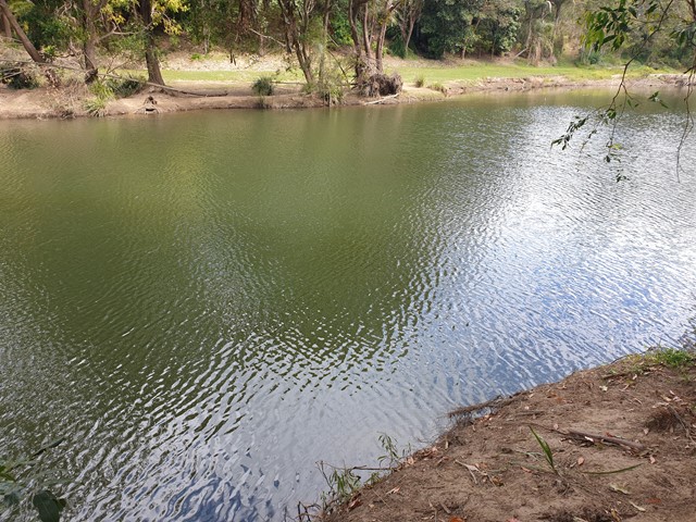
Bunya Crossing Reserve
South East Queensland
There are several easy short dog-friendly walks in the area (about 2kms in total). There is a lovely shaded picnic area and a swimming hole with rope swing. It is not so much a picturesque walk but a good place to take the family for a relaxing picnic and to take your dog for a stroll and swim. Gates close at sunset.
 2
km
return
45
mins
2
km
return
45
mins
Billai Dhagun Circuit
Brisbane City Council Local Walks
Billai Dhagun Circuit is part of the Boondall Wetlands, and after rain this walk can get quite wet. It is still quite an easy walk though. The name means 'Place of She-oaks', and you will see plenty of these here. There is a bird hide along the walk so that you can watch the water birds at the opening to Nundah Creek.
 1.5
km
return
40
mins
1.5
km
return
40
mins
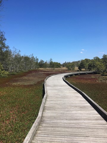
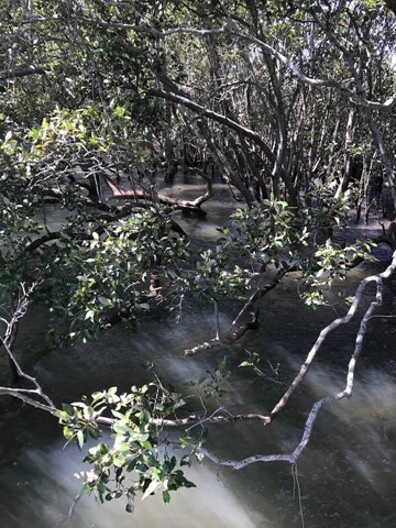
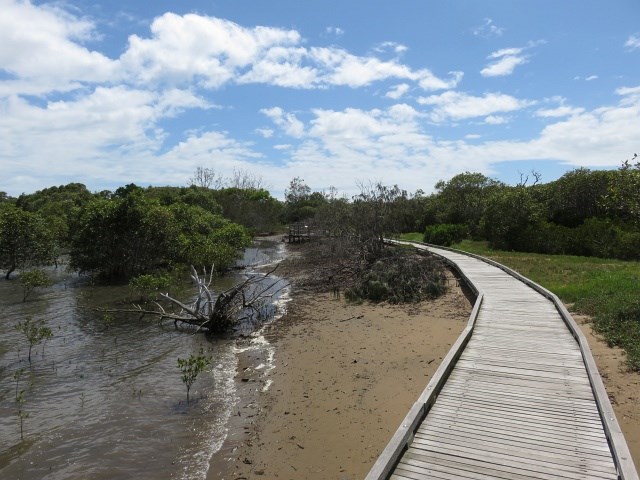
Wynnum Mangrove Boardwalk
Brisbane City Council Local Walks
Walkway and boardwalk circuit that pass through the mangroves.
 100
m
return
5
mins
100
m
return
5
mins
McAfee's Lookout
D'Aguilar National Park
Short walk to a McAfee's Lookout.
 2.8
km
return
45
mins
2.8
km
return
45
mins
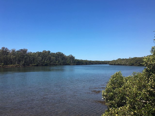
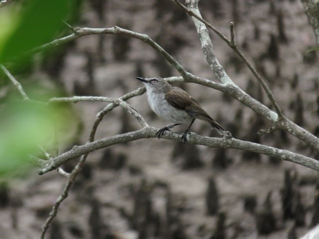
Coucal Trail
South East Queensland
An easy walk along the river. Known for its Pheasant Coucal bird population.
 1.5
km
return
30
mins
1.5
km
return
30
mins
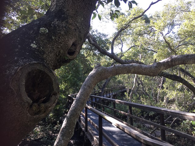
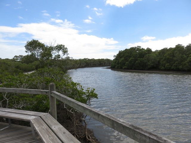
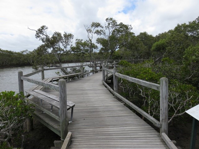
Tabbil-ban dhagun
Brisbane City Council Local Walks
This track is in the Boondal wetlands and passes through mangroves fringing the shores of Moreton Bay and the banks of Nudgee Creek. Birdlife abounds in the mangroves and a birdhide overlooks the tidal flats at the creek mouth. The boardwalk allows you to explore the mangroves at anytime. but make sure you carry repellent as the sandies can be murder. The name means "Place of salt water"
 11
km
one-way
4
hrs
11
km
one-way
4
hrs
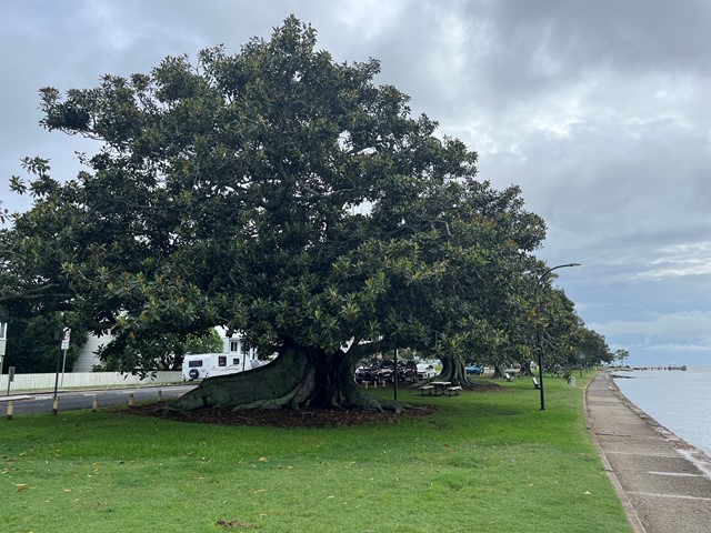
Moreton Bay Cycle Way (Shorncliffe to Woody Point section)
South East Queensland
Enjoy the sea breeze while taking a stroll from the Frank Doyle Park (Shorncliffe) along the shoreline of Bramble Bay, across the Ted Smout Memorial Bridge and into Woody Point Pelican Park.