
Menu
Suggested searches
Your search found 510 results...

 3
km
return
3
km
return
 45
mins
45
mins
Beryl Roberts Park
Brisbane City Council Local Walks
Accessible toilet, barbecue (electric), bikeway network, dog off leash area (Arrunga Street), fitness station (Barham Street), picnic area (Barham Street), playground (Barham Street, Perina Street), public toilet (Barham Street), water (bubbler/tap)
 1
km
one-way
15
mins
1
km
one-way
15
mins
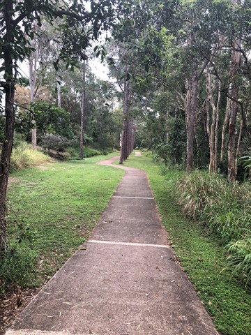
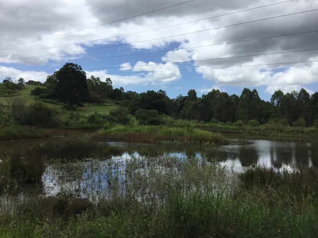
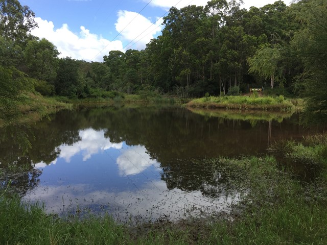
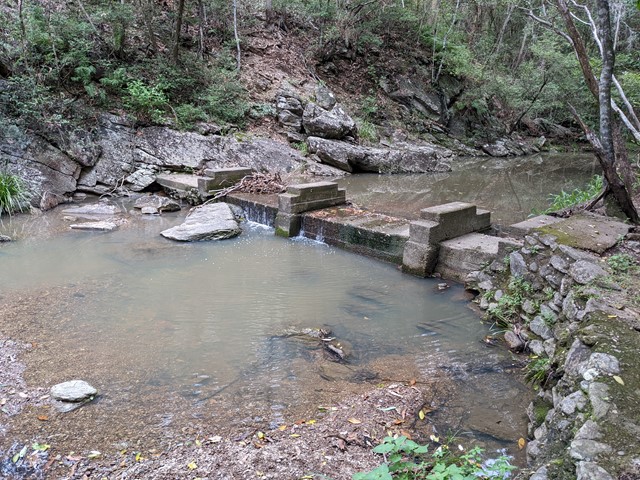
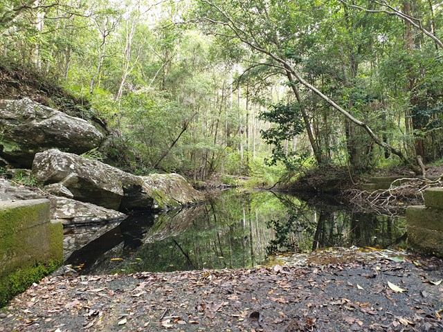
Bellbird Grove Access Trail
D'Aguilar National Park
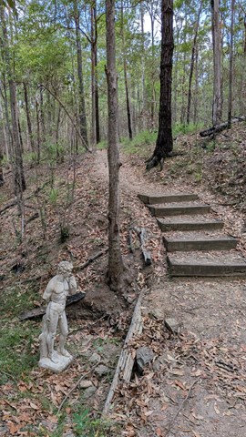
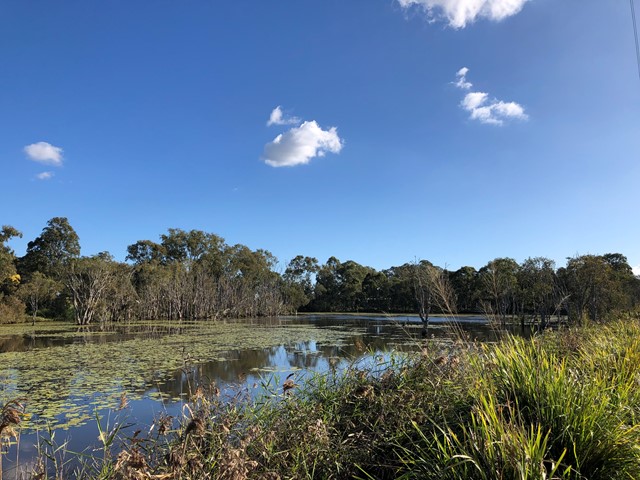
Trail leads from Ross Road, Upper Kedron into D'Aguilar National Park's Bellbird Grove Picnic Area following Cedar Creek and passing a pond.
 4.5
km
return
90
mins
4.5
km
return
90
mins
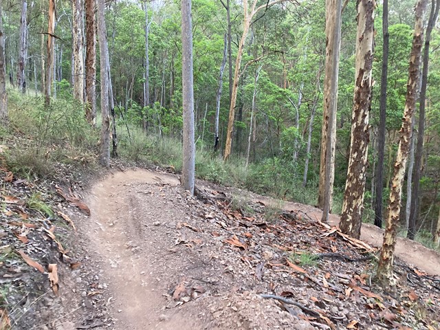
Ironbark Gully Break Loop
South East Queensland
loop walk within the Samford Conservation Park; undulating trail on maintenance road.
IGB East break/ Geiger break/ IGB break
The loop can be extended by inclusion of further trails.
 900
m
return
30
mins
900
m
return
30
mins
Crebra Circuit
Brisbane City Council Local Walks
A circuit for walkers only, can be joined behind the Ironbark Gully picnic area. Two bridges to traverse the mostly dry creek. Drinking water and toilets available at the picnic ground.
 4
km
return
1
hr
4
km
return
1
hr
Sandy Camp Rd Wetlands
Brisbane City Council Local Walks
A flat walk through the lesser-known wetlands.
Wheelchair access is possible but not an easy walk
 1.7
km
1
hr
1.7
km
1
hr
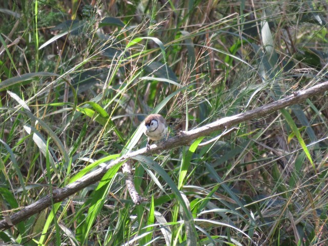
Turrbal Circuit
D'Aguilar National Park
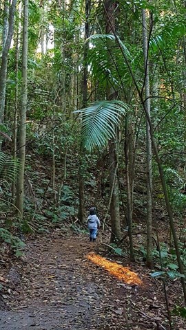
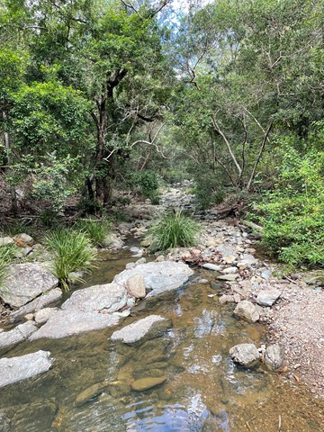
A walk through open bushland to the creek beds. Very enjoyable short walk.
 1.8
km
1
hr
1.8
km
1
hr
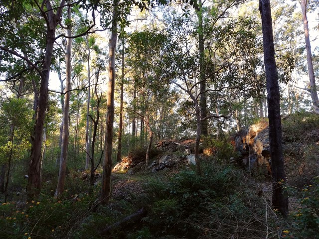
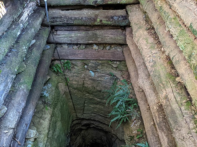
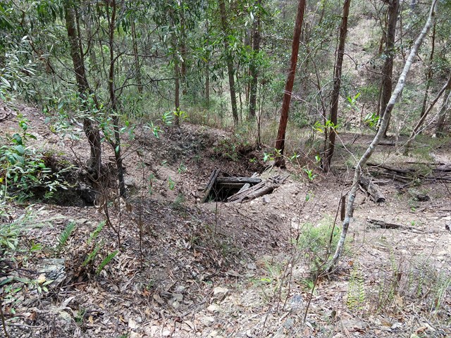
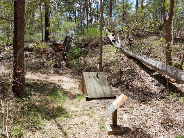
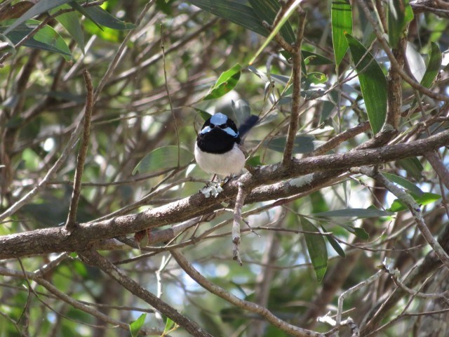
Golden Boulder Track
D'Aguilar National Park
Cross the road and continue to the track shelter showing some history of the area then onto a plaque and continue along the track to a caged mine shaft. A worthwhile walk
 3.6
km
return
1
hr
3.6
km
return
1
hr
Ferny Grove Rail Trail
Brisbane City Council Local Walks
Brisbane's Ferny Grove Rail Trail, a 1.8km bush track which connects the Samford Valley foothills to Ferny Grove, may be short and lack romantic trimmings such as old stations and railway bridges, but of all the country's rail trails, it distinguishes itself with an infamous and tragic history.
 2.9
km
return
1
hr
2.9
km
return
1
hr
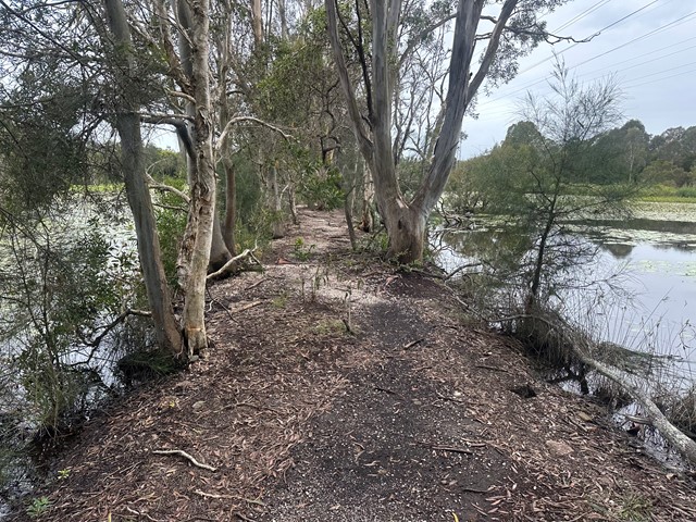
Lookout Archerfield Wetland
Brisbane City Council Local Walks
The wetland offers a nice long walking path, perfect for a peaceful stroll or bicycle ride. However, there's little to no shade, making it a bit challenging during sunny summers. The area has a lot of potential but could use some improvements to make it more engaging. Despite being somewhat secluded, it's still a pleasant spot for outdoor activities, but it could benefit from a bit of enhancement to make the experience more enjoyable.
1.5
km
return
1
hr
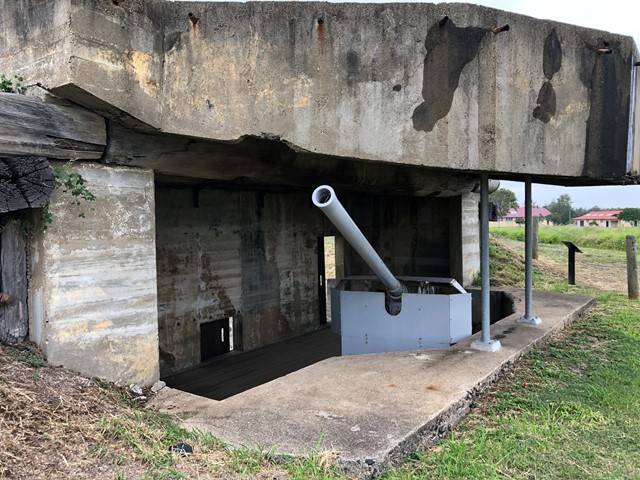
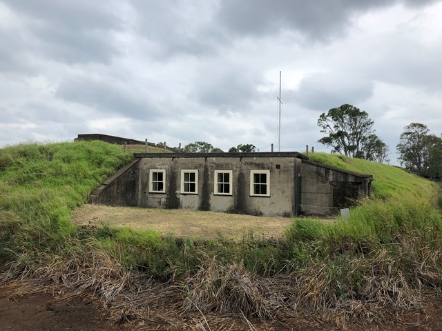
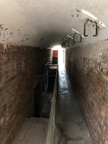
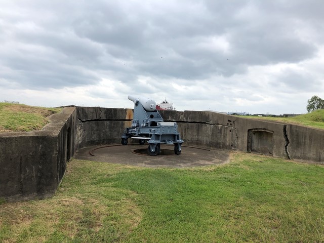
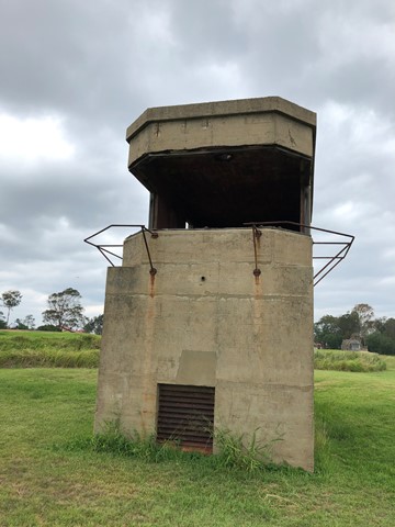
Fort Lytton
South East Queensland
Fort Lytton is a fortress located on the southern banks of the Brisbane River, Fort Lytton National Park is the perfect place to discover a unique part of Brisbane’s past.
Only open on Sundays.