
Menu
Suggested searches
Your search found 510 results...

 1
km
return
1
km
return
 30
mins
30
mins
Kumbartcho Sanctuary
South East Queensland
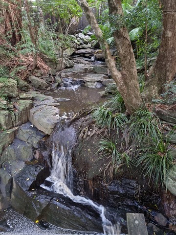
Kumbartcho is a Flora and Fauna Sanctuary incorporating walking tracks around, lake, gardens, bridges, forests and a public park, BBQ and playground
 5.2
km
return
90
mins
5.2
km
return
90
mins
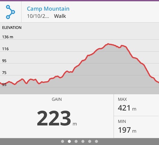
Camp Mountain Lookout
Brisbane Forest park D'Aguilar National Park
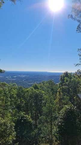
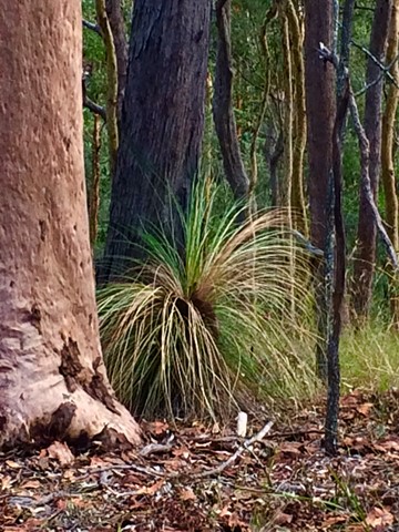
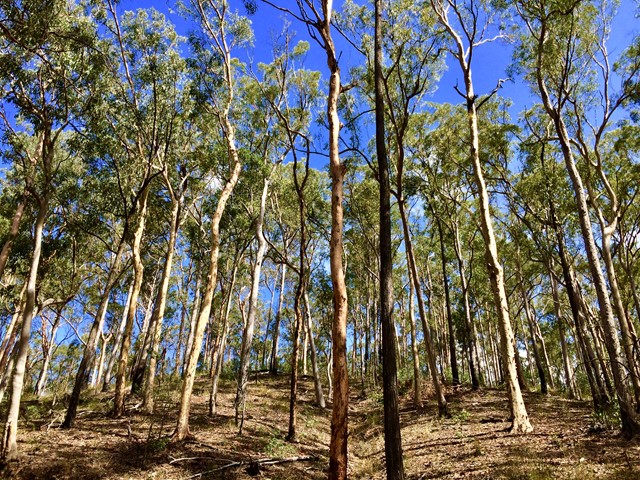
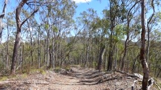
Beautiful walk through eucalypt forest along a well maintained fire trail. We parked at the junction of Suttons Road & Suttons Court, Camp Mountain, parked the car at the horse step through and headed up the hill. It's a steep walk up to the lookout where you will find spectacular views of Brisbane City and Moreton Bay. Wander a little further and you can see the beautiful Samford Valley and Glass House Mountains in the distance. You can also drive into the lookout from Mt Nebo Road.
If you are feeling energetic and want to add an extra hour to your walk, head down the hill towards Bellbird Grove - the trail splits just after the water tank, instead of going left to do the circuit, go straight ahead. Follow the trail and you will come into the back of Bellbird Grove - have a toilet stop, a little rest and then turn around and head back the same way to join back onto the circuit.
 1.1
km
return
30
mins
1.1
km
return
30
mins
Lota Creek Circuit
Brisbane City Council Local Walks
Part of the Bayside Parklands ..
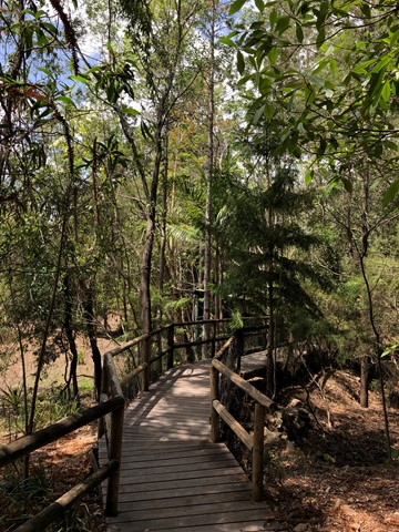
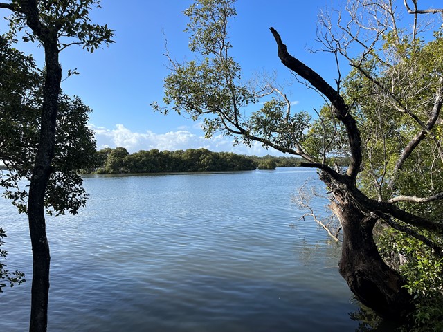
This circuit walkway, of which part is a boardwalk, links the formal parkland areas of Lota to the natural reserve areas of Ransome. It passes across Lota Creek, past saltmarshes and paperbark forests before entering the dry eucalypt forest common to this area.
Suited to: walking, wheelchair assisted
Habitat: mangroves, saltmarshes, dry eucalypt and paperbark forests
Must: walk the boardwalk
 7
km
one-way
2
hrs
7
km
one-way
2
hrs
Moreton Bay Cycle Way (Lota to Wynnum section)
Brisbane City Council Local Walks
Shared path along the water, traversing the seaside suburbs of Lota, Manly and Wynnum.
 8.2
km
return
2
hrs
8.2
km
return
2
hrs
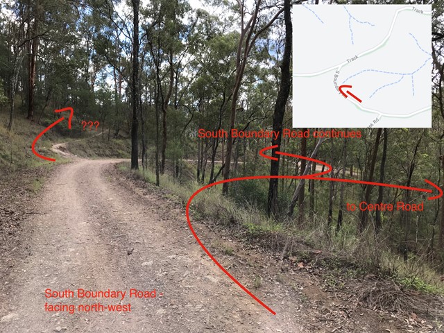
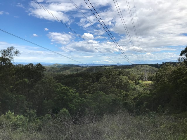
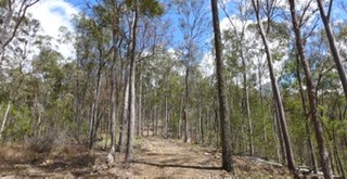
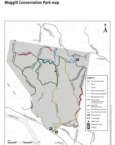
Centre Road and Tower Break Loop
Moggill Conservation Park
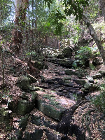
The walk begins in the riparian rainforest and winds its way up into the dry eucalypt expanse of the Brisbane Forest. Note, there a quite a few steep sections (both up and down) which may be covered in loose shale.
 1.4
km
return
30
mins
1.4
km
return
30
mins
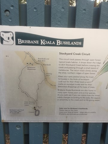
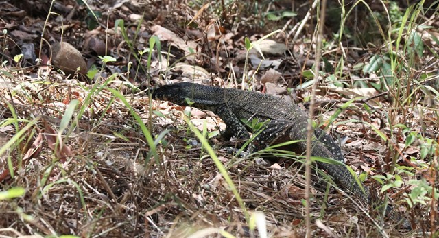
Brisbane Koala Bushlands (Stockyard Creek Walking Trail)
Brisbane City Council Local Walks
Circuit track through open forest koala habitat. Bitumen/ boardwalk.
 5.8
km
return
90
mins
5.8
km
return
90
mins
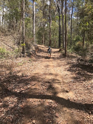
Devils Break Loop
Moggill Conservation Park
Great short to medium length bush walk with not too many many people. There is a very steep section on the southern end of Devils Break which can be covered in shale so appropriate walking shoes are a must here.
 2.5
km
return
45
mins
2.5
km
return
45
mins
Forest Lake Shore Walk
Brisbane City Council Local Walks
Shared path around the man-made, 11 hectare lake, surrounded by parklands and public recreational facilities.
 8.03
km
return
2.09
hrs
8.03
km
return
2.09
hrs
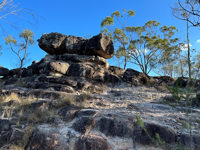
Casuarina, Lomatia, Curtisli, Mahogany, Casuarina Trails
Karawatha Forest
Curtisli is a hard trail in some places as indicated on the maps, but worth it to reach Yagara Rocks Lookout.
Illaweena Street trailhead.
 5
km
return
2
hrs
5
km
return
2
hrs
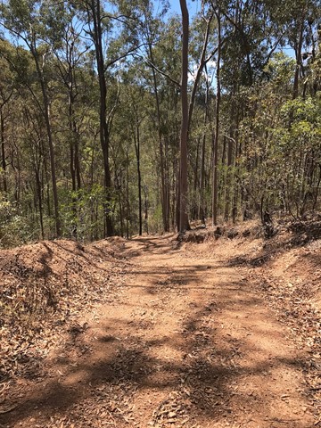
Lantana Break
Moggill Conservation Park
A nice 5k walk from Wirrabarra road. I would recommend heading along powerline break first, then up lantana break and coming back down Rocky Mountain High. Lantana break is heading directly up from the gullly to the top of the ridge, quite a challenging walk, but well signposted and takes about two hours all up. I'd recommend heading there after a little bit of rain so that the ground is softer and not at slippery.