
Menu
Suggested searches
Your search found 510 results...

 7
km
one-way
7
km
one-way
 2
hrs
2
hrs
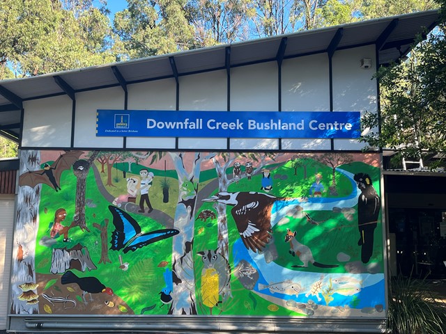
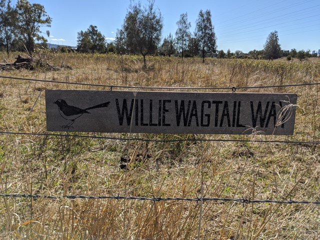
Downfall Creek Walk
Brisbane City Council Local Walks
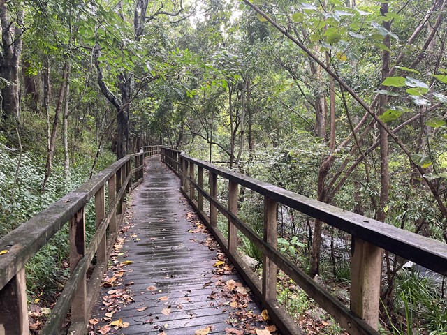
Shared path along the creek, from Downfall Creek Bushland Centre to Virginia train station. Don't miss the Huxtable Park Rainforest Boardwalk along the way.
 770
m
15
mins
770
m
15
mins
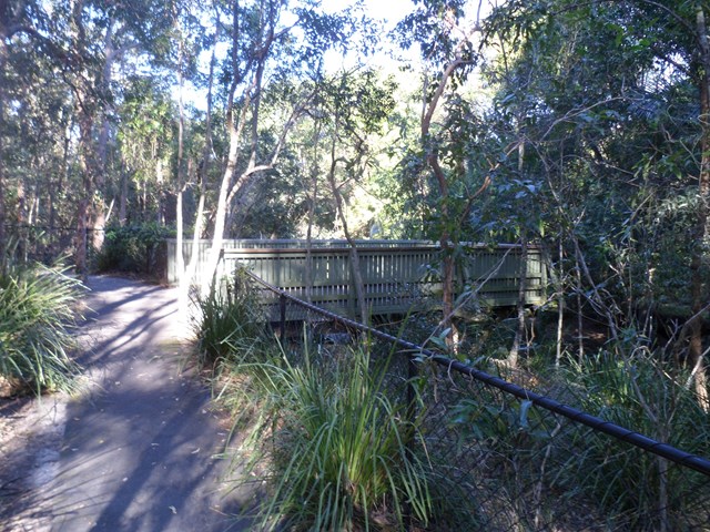
Creek Track
Brisbane City Council Local Walks
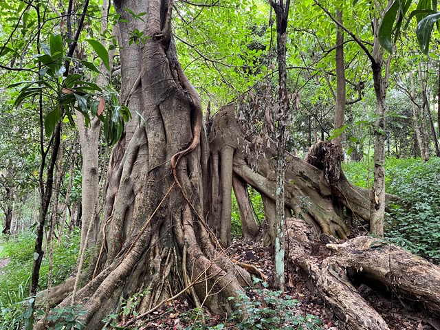
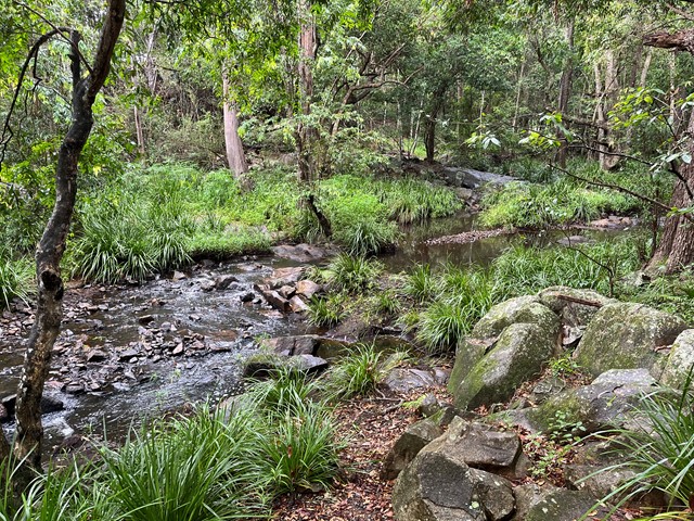
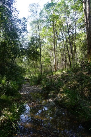
This track leads you to a creek platform that overlooks Downfall Creek. You are likely to see waterhousia and lomandra. Common crow butterflies feed on monkey vine and red ash.
Picnic area available at entrance
Grade: easy
Suited to: bushwalking
Habitat: dry riparian vine forest
Must: spend time at the creek platform listening for birds and watching the creek life
 1.5
km
27
mins
1.5
km
27
mins
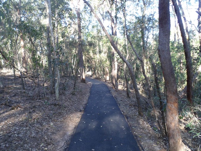
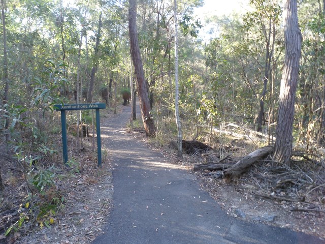
Xanthorrhoea Track
Brisbane City Council Local Walks
This track passes through mixed heath and woodland species including banksias, grass trees and heath peas. You are likely to see kookaburras, forest kingfishers, red-backed wrens, dollarbirds, lizards and geckoes.
Picnic area available at entrance.
Grade: easy, but it’s hilly
Suited to: birdwatching and flora walks
Habitat: heathland
Must: walk this track in September or at dusk
Recommendation: combine this track with the Banksia Track for a two hour circuit walk, Pomax Track for another two hour walk or all three for a three hour walk
 1
km
18
mins
1
km
18
mins
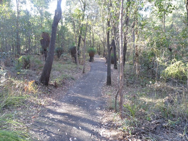
Banksia Track
Brisbane City Council Local Walks
This track rises to a knoll with westerly views. You will see grass trees and Australian native grasses. If you are lucky you may even see swamp wallabies feeding on the grass.
3.5
km
return
45
mins
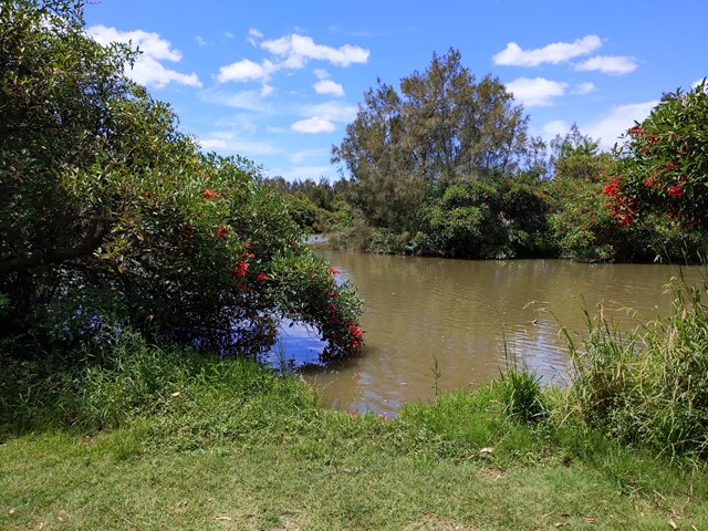
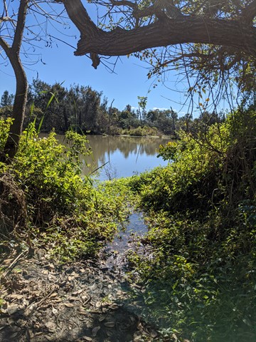
Oxley Creek Common-Pelican Island Walk
South East Queensland
A serene patch of bird-inhabited wetland in the midst of an agricultural and industrial area, Oxley Creek Common has a couple of easy paved walking trails and picnic amenities for the visitor.
One trail leads from the picnic area and themed info and amenity block Red Shed and splits into two before ending at two different bird habitats. For those keen to spot some of the 180 plus species of bird that inhabit this space, the best times to walk are at dawn and dusk though ornithological tendencies are not required to enjoy these walks.
 1.3
km
one-way
20
mins
1.3
km
one-way
20
mins
Pomax Track
Brisbane City Council Local Walks
This track passes through heathland where you can see spectacular plants including pomax, banksia, native irises and keraudrenia. It is named after the locally rare heathland plant pomax.
Grade: difficult, steep hills
Suited to: bushwalking, birdwatching, flora walks
Habitat: heathland
Must: look for wildflowers in September
 10
km
one-way
3
hrs
10
km
one-way
3
hrs
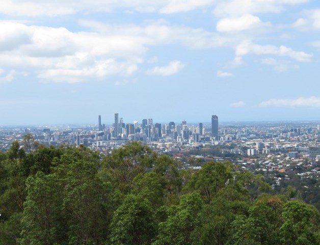
Gap Creek to Mt Coot-tha Botanic Gardens
Mt. Coot-tha
This walk will use several tracks in the Mount Coot-tha area to take you from Gap Creek to Mt Coot-tha Botanic Gardens
 6
km
return
90
mins
6
km
return
90
mins
Bellbird trail, Kokoda trail, Jacksonia trail circuit from Gap Creek Reserve
Mt. Coot-tha
Bellbird Trail, Kokoda Trail up to top of hill and then back down Jacksonia Track- steep climb up to top of Mt C
13
km
one-way
4
hrs
Enoggera Creek walk
Brisbane City Council Local Walks
Walk along the Enoggera Creek from the Enoggera Reservoir to Bowen Bridge, where the creek joins Breakfast Creek and Brisbane River. Crossing the suburbs The Gap, Ashgrove, Newmarket, Herston and many of the local parks. Mostly following the Enoggera Creek Bikeway.
 3
km
return
1
hr
3
km
return
1
hr
Curlew and Ironbark Circuit
Mt. Coot-tha
Wide tracks but plenty of medium difficulty up and down as you criss cross ridges and creeks. Downhill can be a bit slippery on the gravel.